-
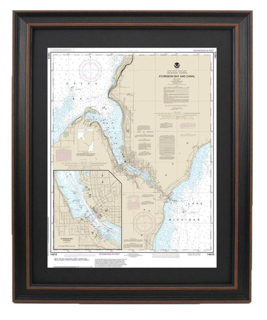
Framed Nautical Chart 14919 - Sturgeon Bay, Wisconsin. NOAA 14919. Handmade in the USA.
Regular price From $149.99 USDRegular priceUnit price per$0.00 USDSale price From $149.99 USD -
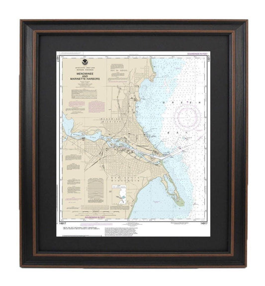
Framed Nautical Chart 14917 - Menominee and Marinette Harbors, Green Bay. NOAA 14917. Handmade in the USA.
Regular price From $149.99 USDRegular priceUnit price per$0.00 USDSale price From $149.99 USD -
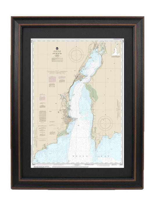
Framed Nautical Chart 14915 - Little Bay de Noc, Lake Michigan. NOAA 14915. Handmade in the USA.
Regular price From $149.99 USDRegular priceUnit price per$0.00 USDSale price From $149.99 USD -
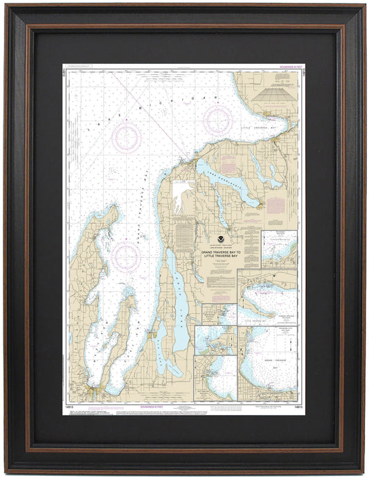
Framed Nautical Chart 14913 - Lake Michigan - Grand Traverse Bay to Little Traverse Bay. NOAA 14913. Handmade in the USA.
Regular price From $149.99 USDRegular priceUnit price per$0.00 USDSale price From $149.99 USD -
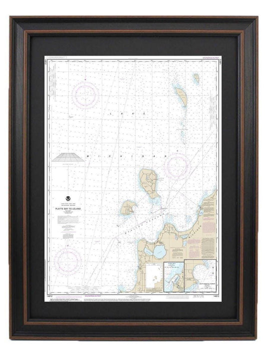
Framed Nautical Chart 14912 - Lake Michigan Platte Bay to Leland. NOAA 14912. Handmade in the USA.
Regular price From $149.99 USDRegular priceUnit price per$0.00 USDSale price From $149.99 USD -
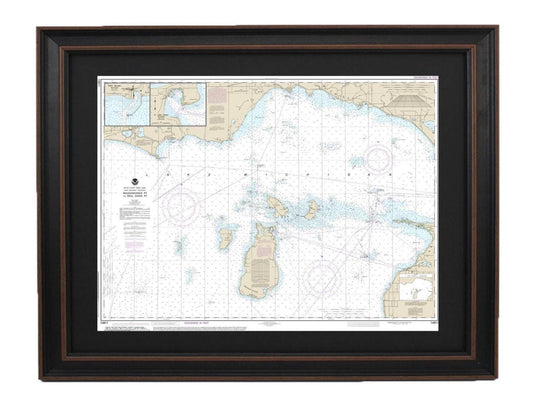
Framed Nautical Chart 14911 - Lake Michigan, Waugoshance Point to Seul Choix Point. NOAA 14911. Handmade in the USA.
Regular price From $149.99 USDRegular priceUnit price per$0.00 USDSale price From $149.99 USD -
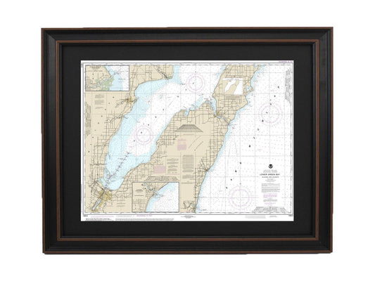
Framed Nautical Chart 14910 - Lake Michigan Lower Green Bay. NOAA 14910. Handmade in the USA.
Regular price From $149.99 USDRegular priceUnit price per$0.00 USDSale price From $149.99 USD -
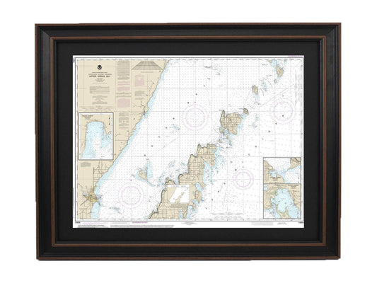
Framed Nautical Chart 14909 - Lake Michigan Upper Green Bay. NOAA 14909. Handmade in the USA.
Regular price From $149.99 USDRegular priceUnit price per$0.00 USDSale price From $149.99 USD -
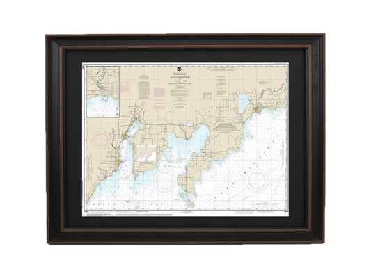
Framed Nautical Chart 14908 - Lake Michigan Dutch Johns Point to Fishery Point. NOAA 14908. Handmade in the USA.
Regular price From $149.99 USDRegular priceUnit price per$0.00 USDSale price From $149.99 USD -
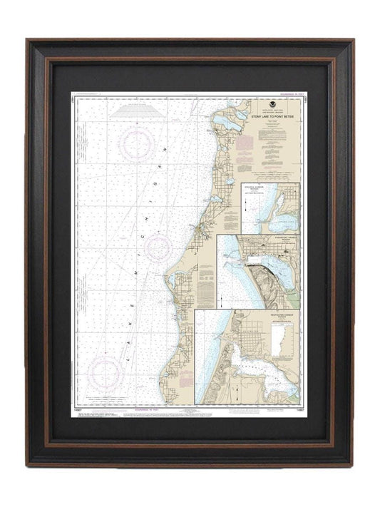
Framed Nautical Chart 14907 - Lake Michigan Stony Lake to Point Betsie. NOAA 14907. Handmade in the USA.
Regular price From $149.99 USDRegular priceUnit price per$0.00 USDSale price From $149.99 USD -
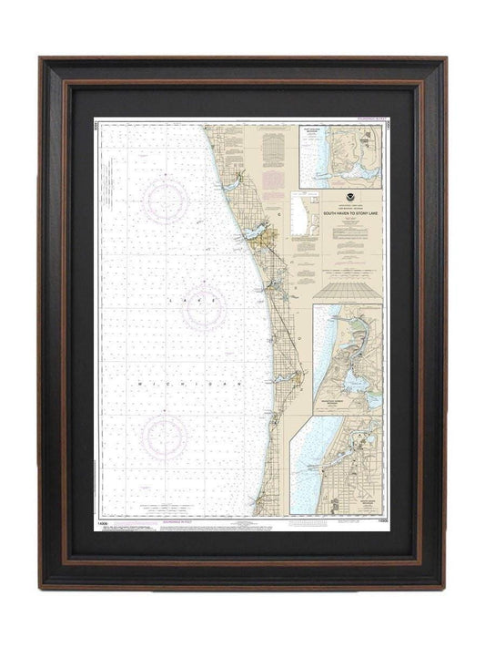
Framed Nautical Chart 14906 - Lake Michigan South Haven to Stony Lake. NOAA 14906. Handmade in the USA.
Regular price From $149.99 USDRegular priceUnit price per$0.00 USDSale price From $149.99 USD -
Framed Nautical Chart 14905 - Lake Michigan Waukegan to South Haven. NOAA 14905. Handmade in the USA.
Regular price From $149.99 USDRegular priceUnit price per$0.00 USDSale price From $149.99 USD -
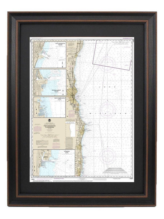
Framed Nautical Chart 14904 - Lake Michigan Port Washington to Waukegan. NOAA 14904. Handmade in the USA.
Regular price From $149.99 USDRegular priceUnit price per$0.00 USDSale price From $149.99 USD -
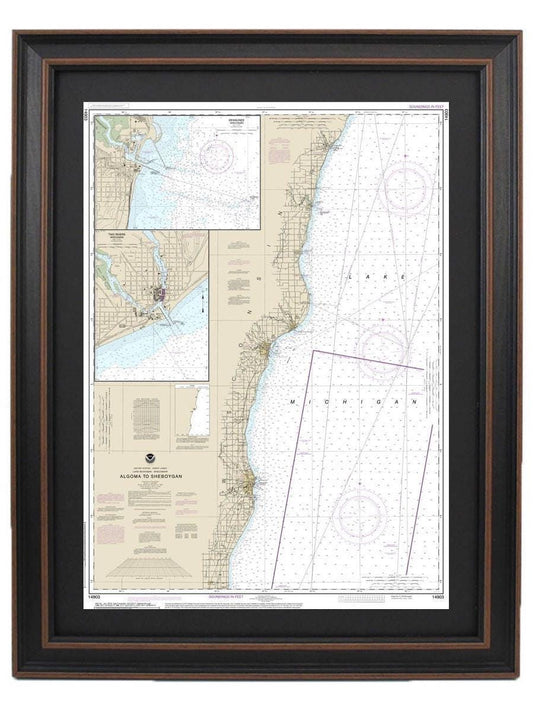
Framed Nautical Chart 14903 - Lake Michigan, Algoma to Sheboygan. NOAA 14903. Handmade in the USA.
Regular price From $149.99 USDRegular priceUnit price per$0.00 USDSale price From $149.99 USD -
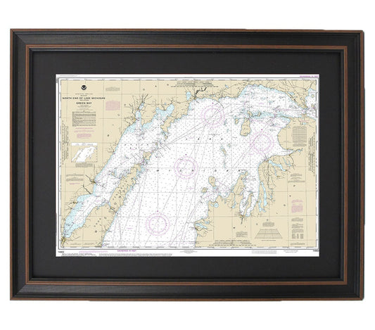
Framed Nautical Chart 14902 - North end of Lake Michigan, including Green Bay. NOAA 14902. Handmade in the USA.
Regular price From $149.99 USDRegular priceUnit price per$0.00 USDSale price From $149.99 USD -
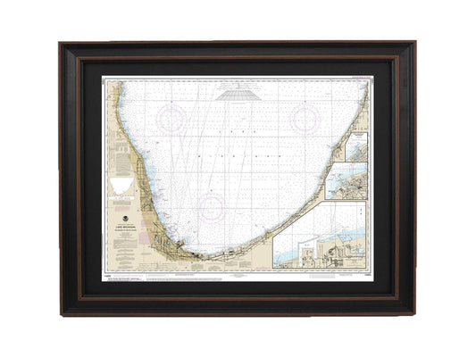
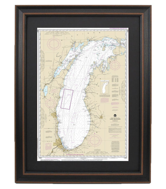
Framed Nautical Chart 14901 - Lake Michigan. NOAA 14901. Handmade in the USA.
Regular price From $149.99 USDRegular priceUnit price per$0.00 USDSale price From $149.99 USD