Framed Nautical Charts
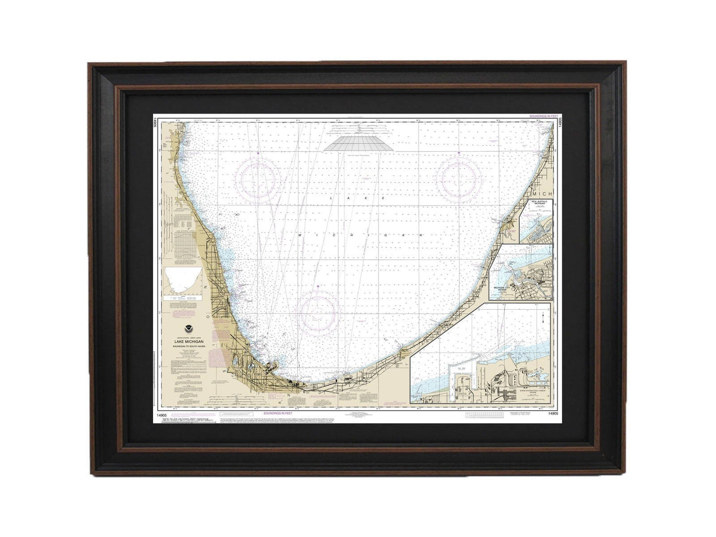
Framed Nautical Chart 14905 - Lake Michigan Waukegan to South Haven. NOAA 14905. Handmade in the USA.
Framed Nautical Chart 14905 - Lake Michigan Waukegan to South Haven. NOAA 14905. Handmade in the USA.
Couldn't load pickup availability
Discover the beauty of Lake Michigan with our meticulously crafted Framed Nautical Chart, which showcases the stunning waters from Waukegan to South Haven, including Michigan City, Burns International Harbor, and New Buffalo. This official NOAA Nautical Chart provides essential details about these captivating areas, making it an ideal addition for boating enthusiasts and coastal decor lovers alike.
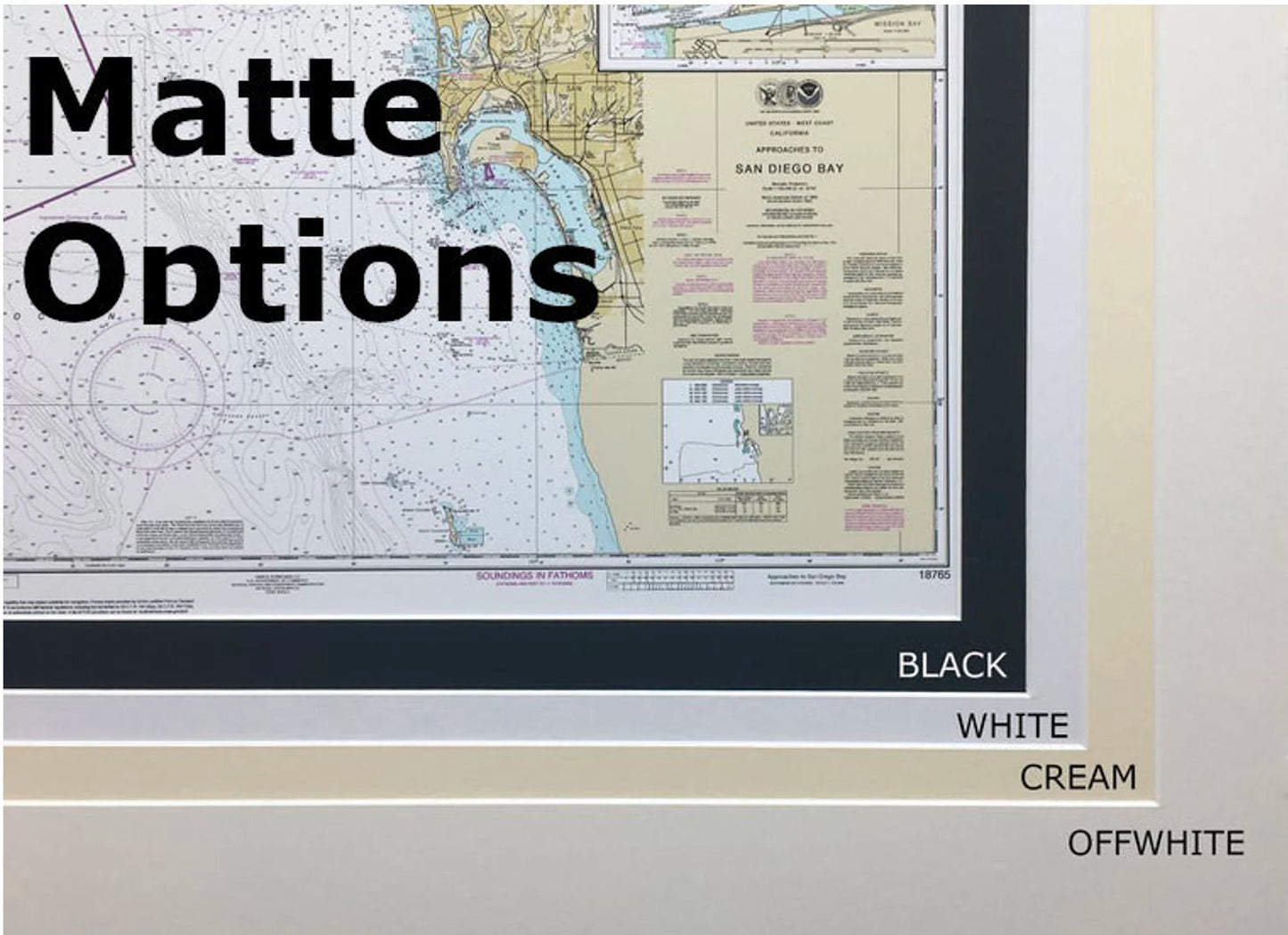
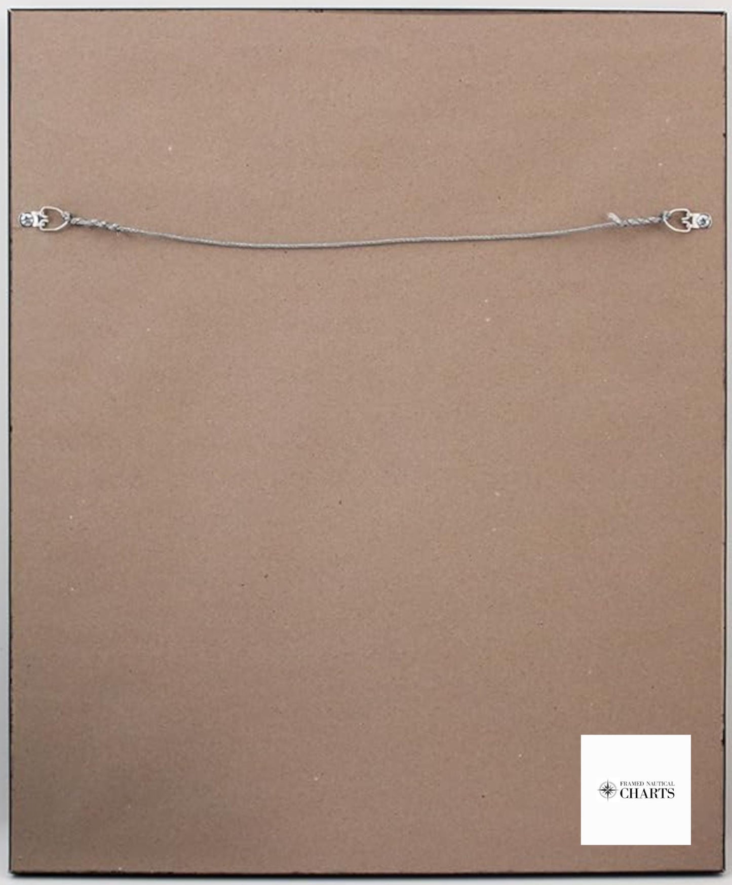
Each chart is custom handmade in the USA, reflecting exceptional craftsmanship and quality. It is presented in a solid wood frame and features a museum-quality print produced on archival paper using fade-resistant inks. The design includes a stylish black mat, and the chart is safeguarded by a glass front, ensuring its beauty lasts for years to come. The back of the frame is finished with a paper duster for a polished look, and a wire hanger is provided for easy installation.
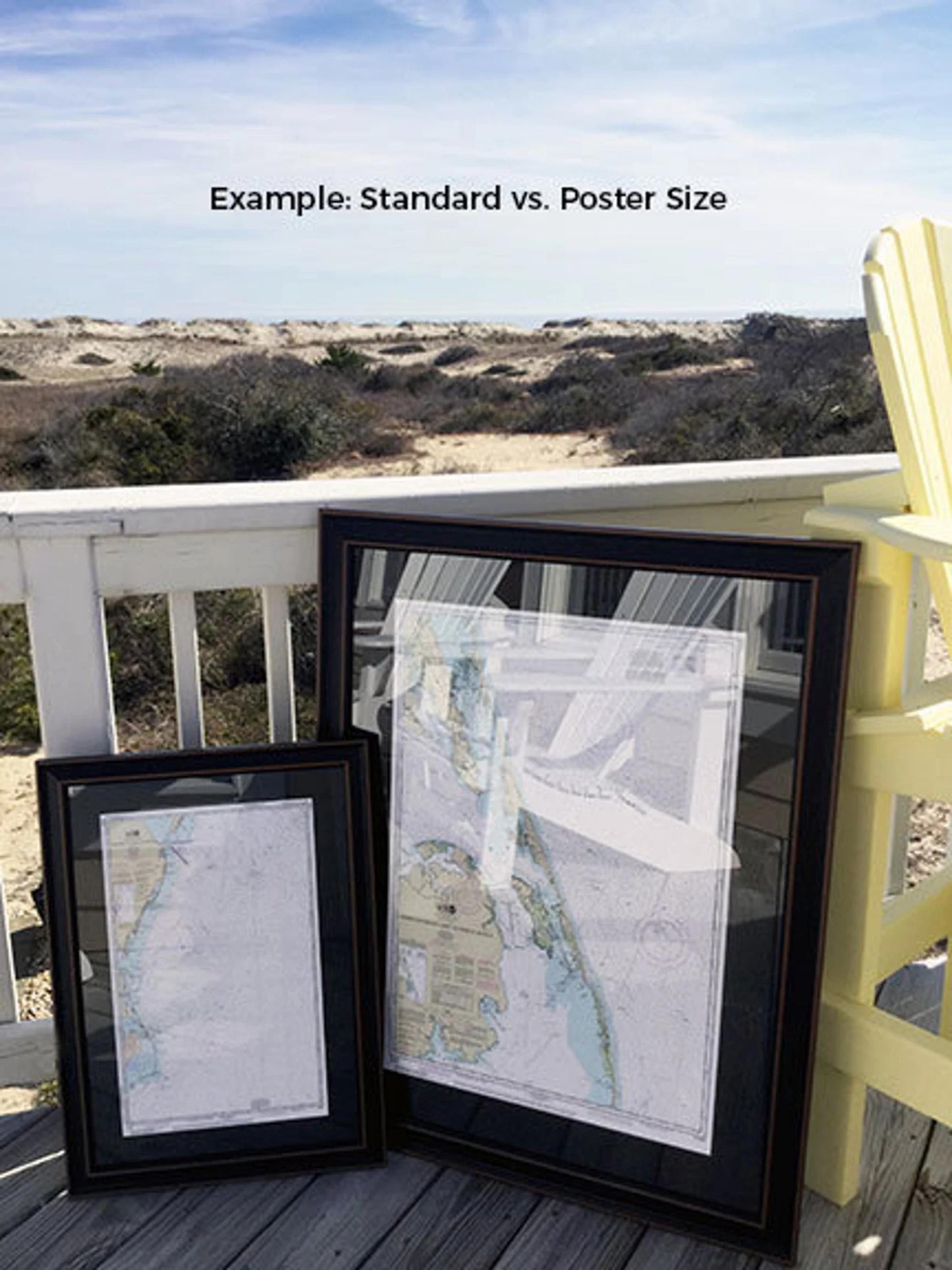
Our charts are available in two sizes to suit your space:
- Standard size: approximate outer frame dimensions of 24" W x 19" H
- Poster size: approximate outer frame dimensions of 36" W x 29" H
If you have a specific frame option in mind, please don’t hesitate to reach out with your request. We are happy to collaborate and bring your vision to life with sample photos to guide us.
*Important Shipping Note: Free ground shipping is available only for orders within the 48 contiguous states. We do not inflate shipping costs; however, due to higher shipping fees to Alaska and Hawaii, please contact us for a custom shipping quote.
Share