Framed Nautical Charts
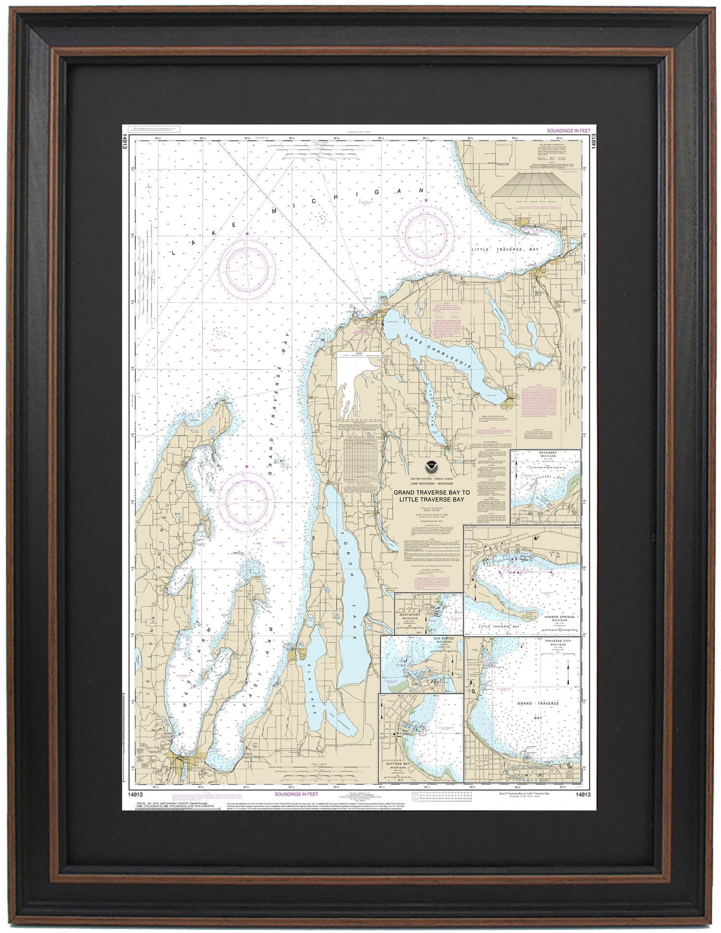
Framed Nautical Chart 14913 - Lake Michigan - Grand Traverse Bay to Little Traverse Bay. NOAA 14913. Handmade in the USA.
Framed Nautical Chart 14913 - Lake Michigan - Grand Traverse Bay to Little Traverse Bay. NOAA 14913. Handmade in the USA.
Couldn't load pickup availability
Discover the beauty of Lake Michigan with this meticulously crafted Framed Nautical Chart, spanning from Grand Traverse Bay to Little Traverse Bay. This official NOAA Nautical Chart showcases the stunning waterways, including East Arm, West Arm, Elk Lake, Torch Lake, Lake Charlevoix, South Arm, and Walloon Lake. It also highlights charming towns such as Petoskey, Harbor Springs, Northport, and Elk Rapids, making it a perfect addition to any nautical enthusiast's collection.
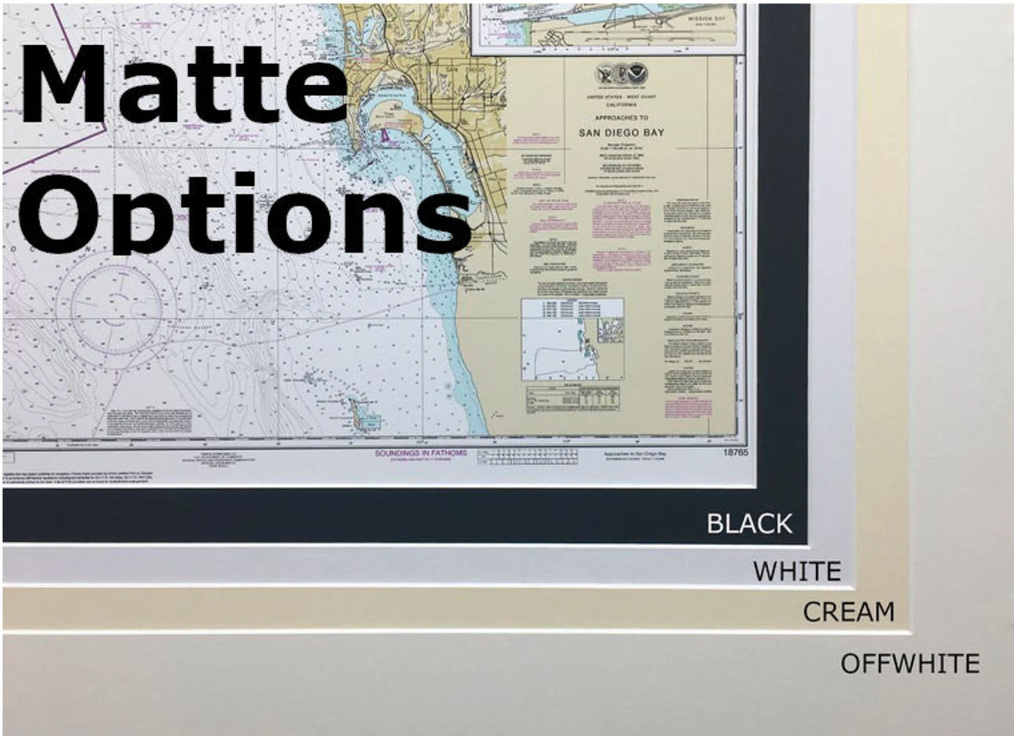
Each chart is custom handmade in the USA, reflecting exceptional craftsmanship. Presented in a solid wood frame, the nautical map features a museum-quality print crafted from archival paper and inks, ensuring durability and beauty. The design includes a black mat and is protected by a glass front, while the back is finished with a paper duster for a polished look. A wire hanger is conveniently provided for easy installation.
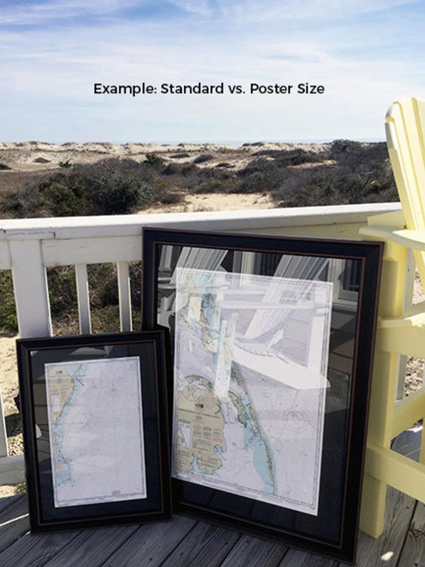
We offer two frame sizes to suit your preference:
- Standard size: outer frame dimensions approximately 17 1/4" W x 24" H
- Poster size: outer frame dimensions approximately 26" W x 36" H
If you’re looking for a specific frame option, please reach out with your request. We welcome any sample photos you may have to help us create the perfect piece for your vision.
*Important Shipping Note: Free ground shipping is available for deliveries within the 48 contiguous states. We do not inflate shipping costs; however, due to the high expense of shipping to Alaska and Hawaii, please contact us for a personalized shipping quote.
Share