Framed Nautical Charts
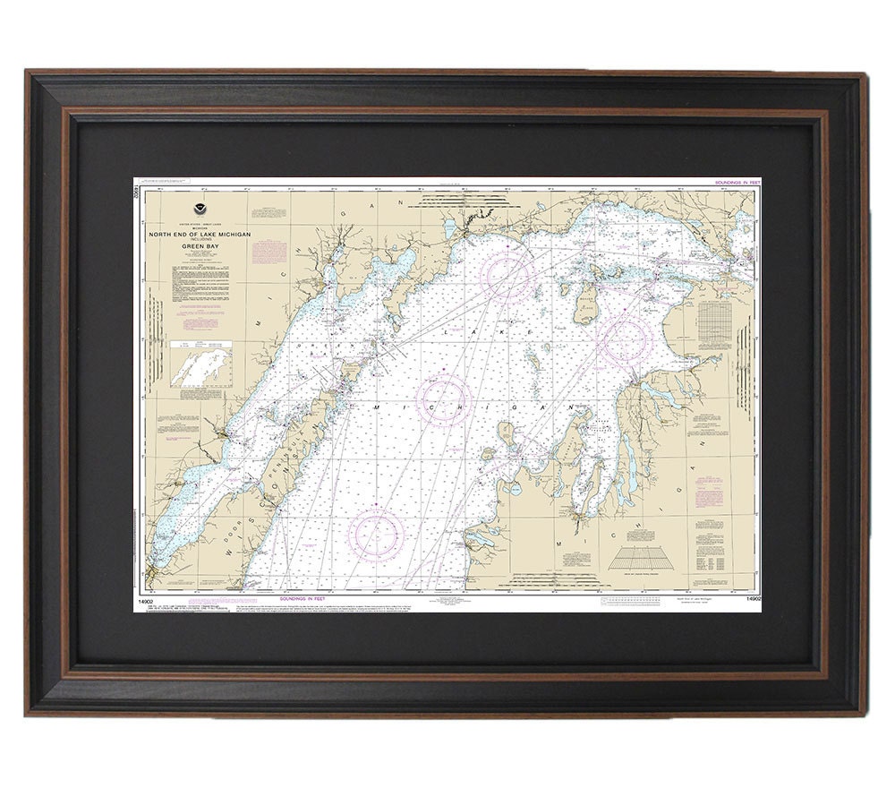
Framed Nautical Chart 14902 - North end of Lake Michigan, including Green Bay. NOAA 14902. Handmade in the USA.
Framed Nautical Chart 14902 - North end of Lake Michigan, including Green Bay. NOAA 14902. Handmade in the USA.
Couldn't load pickup availability
This beautifully framed nautical map details the stunning waterways of the North End of Lake Michigan and Green Bay. As the official NOAA Nautical Chart, it highlights the intricate features of one of America's Great Lakes, making it a perfect addition to any maritime-themed decor. Each chart is meticulously handcrafted in the USA, exemplifying exceptional craftsmanship and attention to detail.
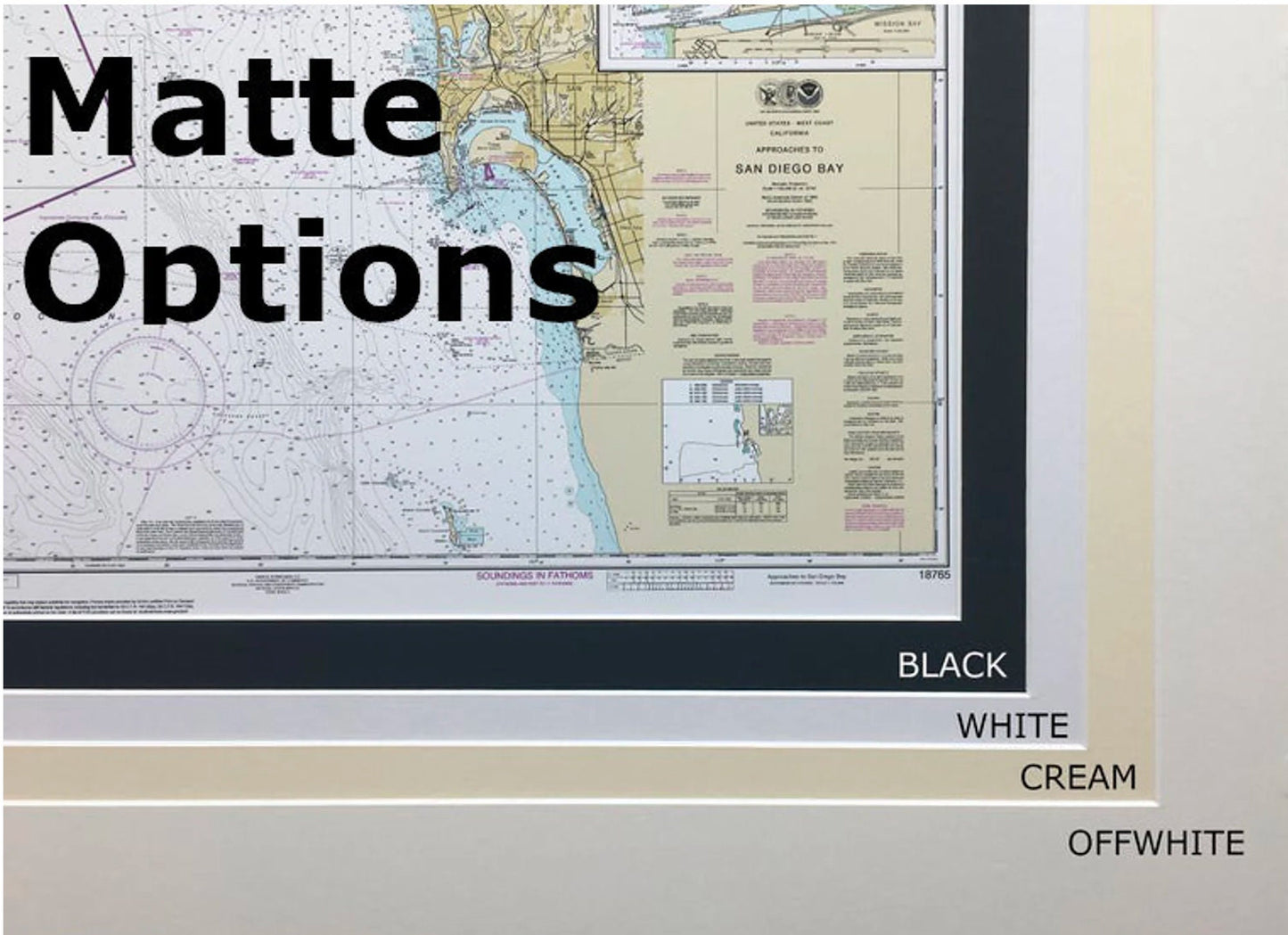
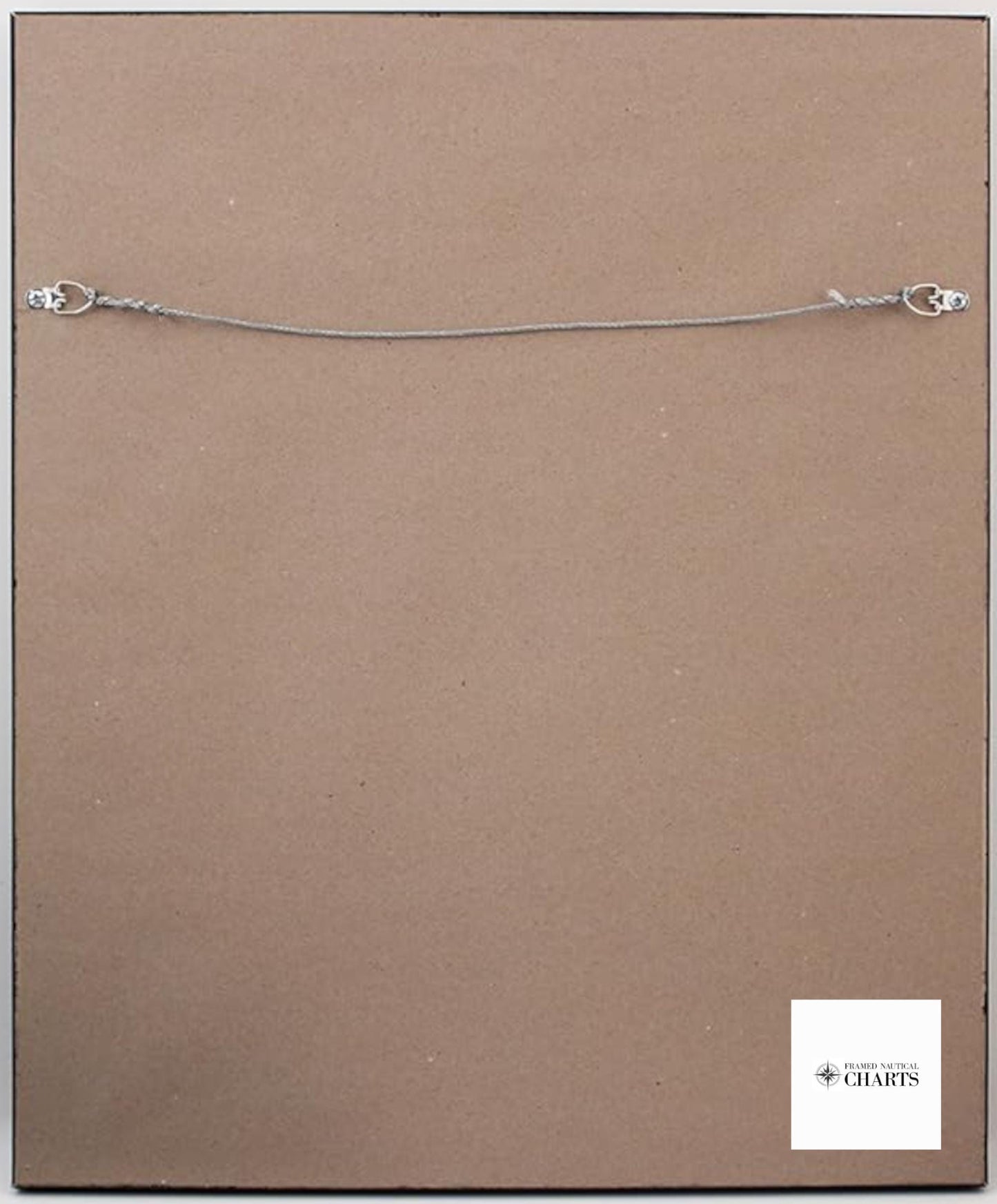
The nautical chart is elegantly presented in a solid wood frame, complete with a museum-quality print on archival paper using fade-resistant inks. It features a refined black mat and is protected by a glass front, ensuring longevity and vibrant display. The back is elegantly finished with a paper duster, and a convenient wire hanger is included for easy installation.
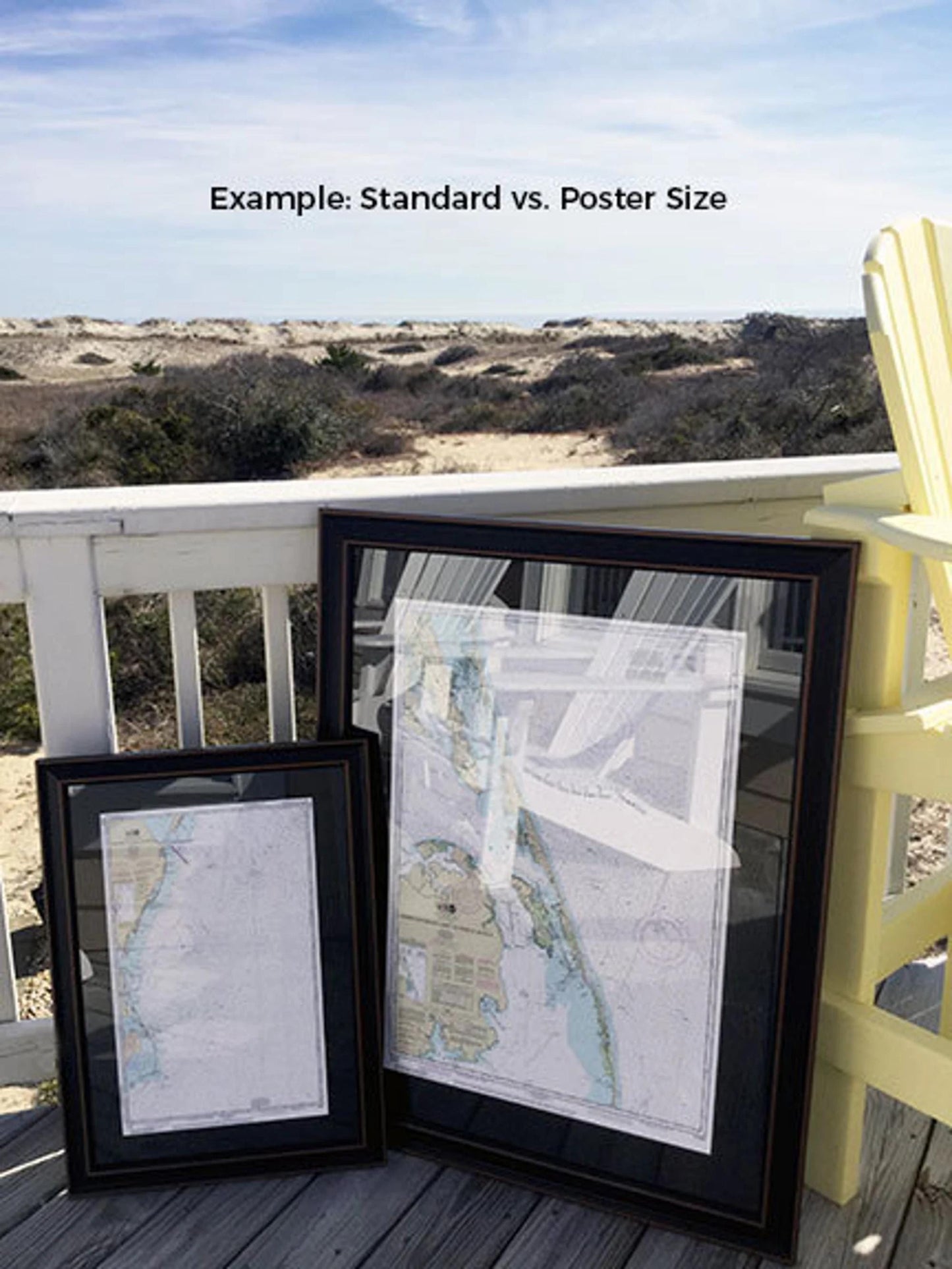
Available in two sizes to suit your space:
- Standard size with outer frame dimensions of approximately 24" W x 17 3/4" H
- Poster size with outer frame dimensions of approximately 36" W x 26 1/2" H
If you desire a different frame option or have specific vision in mind, please don’t hesitate to reach out with your requests. We welcome any sample photos you may have to help us create exactly what you envision.
*Important Shipping Note: Free ground shipping is available only for shipments to the 48 contiguous states. We do not inflate shipping costs, but due to the elevated costs of shipping to Alaska and Hawaii, please contact us for a customized shipping quote.*
Share