Framed Nautical Charts
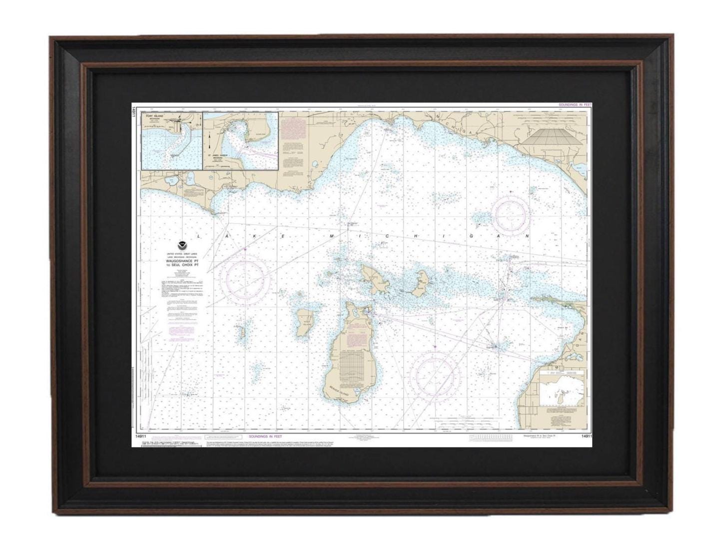
Framed Nautical Chart 14911 - Lake Michigan, Waugoshance Point to Seul Choix Point. NOAA 14911. Handmade in the USA.
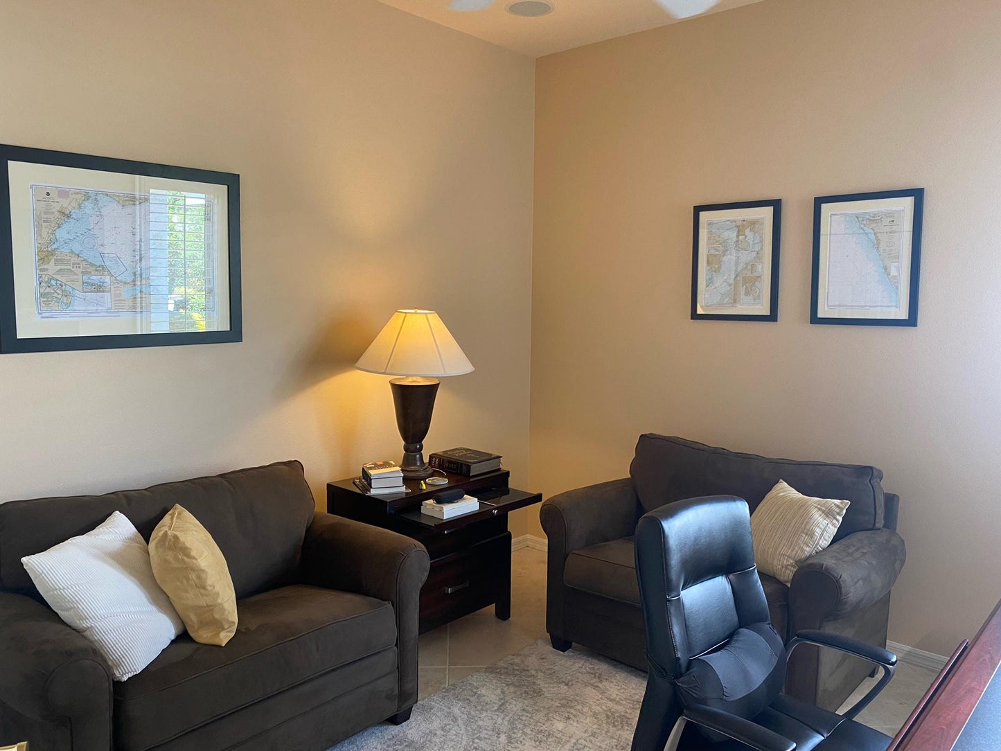
Framed Nautical Chart 14911 - Lake Michigan, Waugoshance Point to Seul Choix Point. NOAA 14911. Handmade in the USA.
Couldn't load pickup availability
Discover the charm of Lake Michigan with our beautifully framed nautical chart, which spans from Waugoshance Point to Seul Choix Point. This meticulously crafted piece showcases important landmarks, including the Beaver Island Group, Port Inland, and Beaver Harbor. As an official NOAA nautical chart, it provides intricate details of these stunning waters.
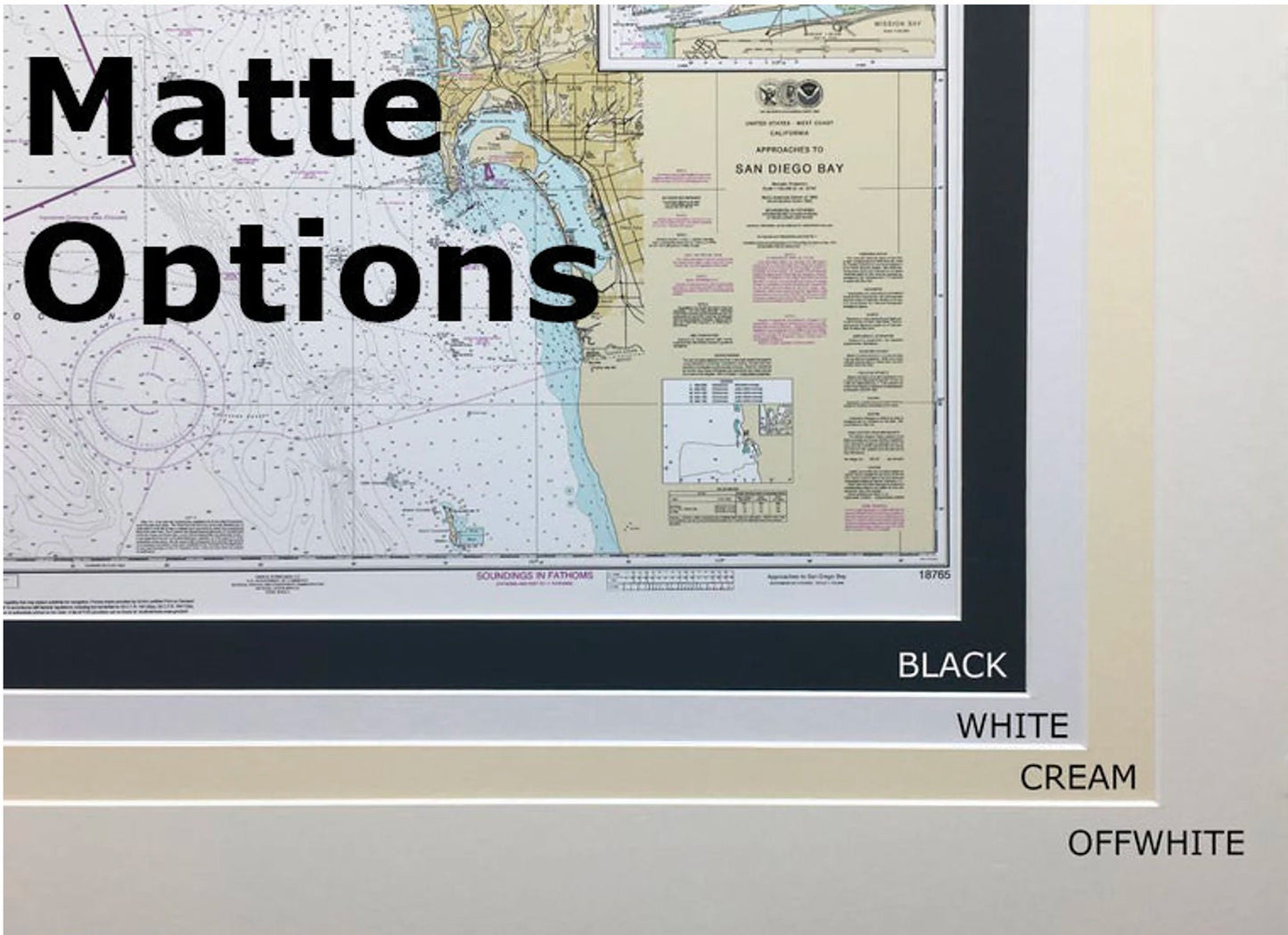
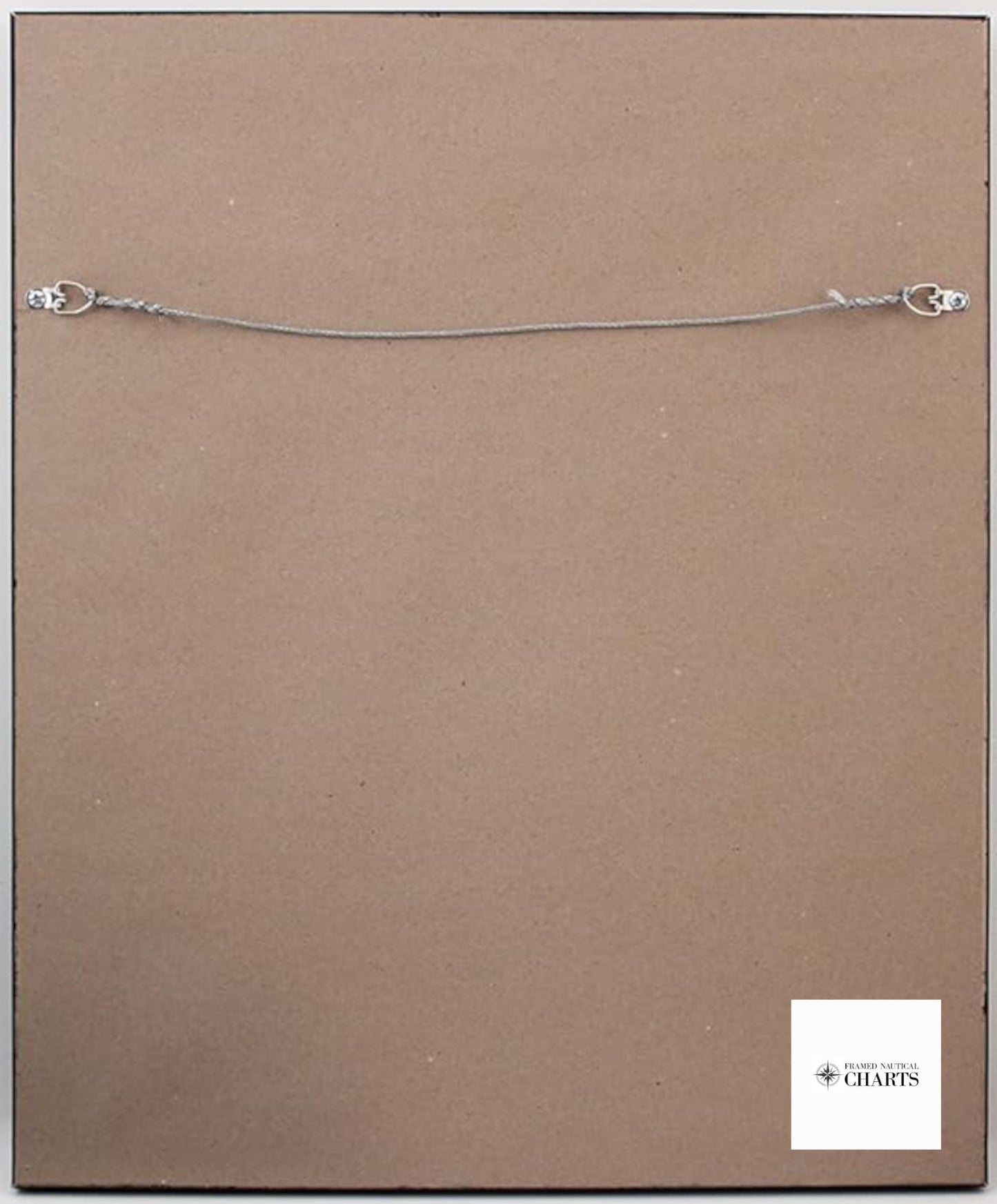
Each chart is custom handmade in the USA, ensuring superior quality and craftsmanship. Presented in a solid wood frame, the nautical map features a museum-quality print made with archival paper and inks for lasting durability. The black mat accentuates the artwork, while the glass front protects it beautifully. The back is finished with a paper duster for a polished look, and a convenient wire hanger makes installation a breeze.
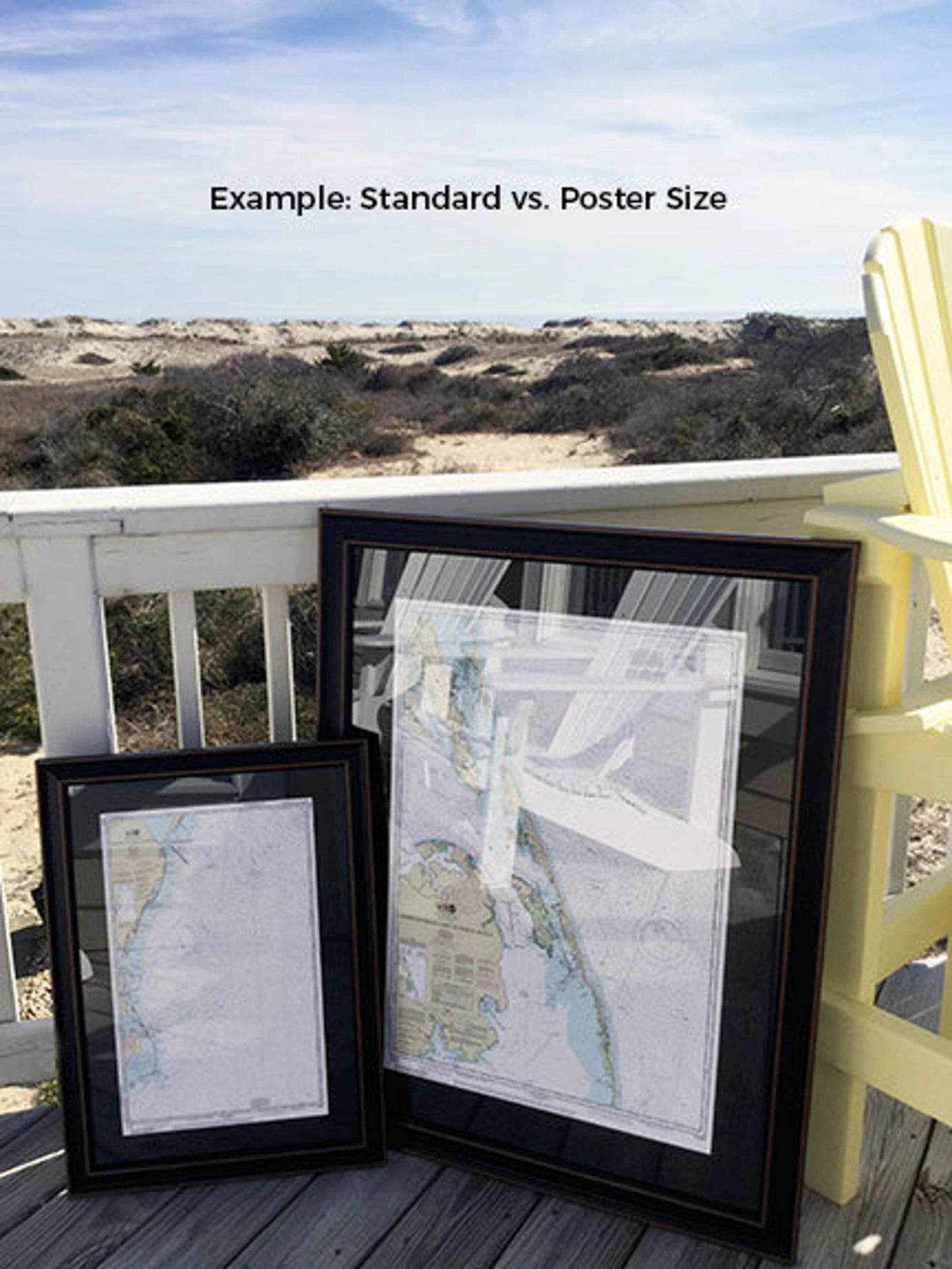
Our framed nautical charts are available in two sizes to suit your space:
- Standard: Outer frame dimensions of approximately 24" W x 18" H
- Poster: Outer frame dimensions of approximately 36" W x 27" H
If you're seeking a different frame option, please don't hesitate to contact us with your preferences. We are eager to collaborate and create the perfect piece tailored to your vision.
*Important Shipping Note: Free ground shipping is available for deliveries to the 48 contiguous states. We do not mark up additional shipping costs, but due to the high cost of shipping to Alaska and Hawaii, please reach out for customized shipping quotes.
Share