Framed Nautical Charts
Framed Nautical Chart 14904 - Lake Michigan Port Washington to Waukegan. NOAA 14904. Handmade in the USA.
Framed Nautical Chart 14904 - Lake Michigan Port Washington to Waukegan. NOAA 14904. Handmade in the USA.
Couldn't load pickup availability
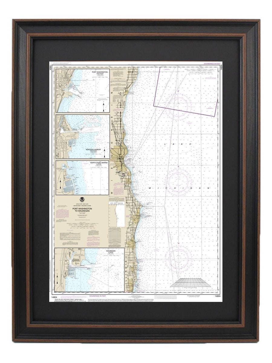
This Framed Nautical Chart beautifully depicts the waters of Lake Michigan, specifically the area from Port Washington to Waukegan, including key locations such as Kenosha and North Point Marina. As an official NOAA Nautical Chart, it meticulously details the waterways of this picturesque region in Michigan. Each chart is expertly handcrafted in the USA, showcasing high standards of craftsmanship and attention to detail.
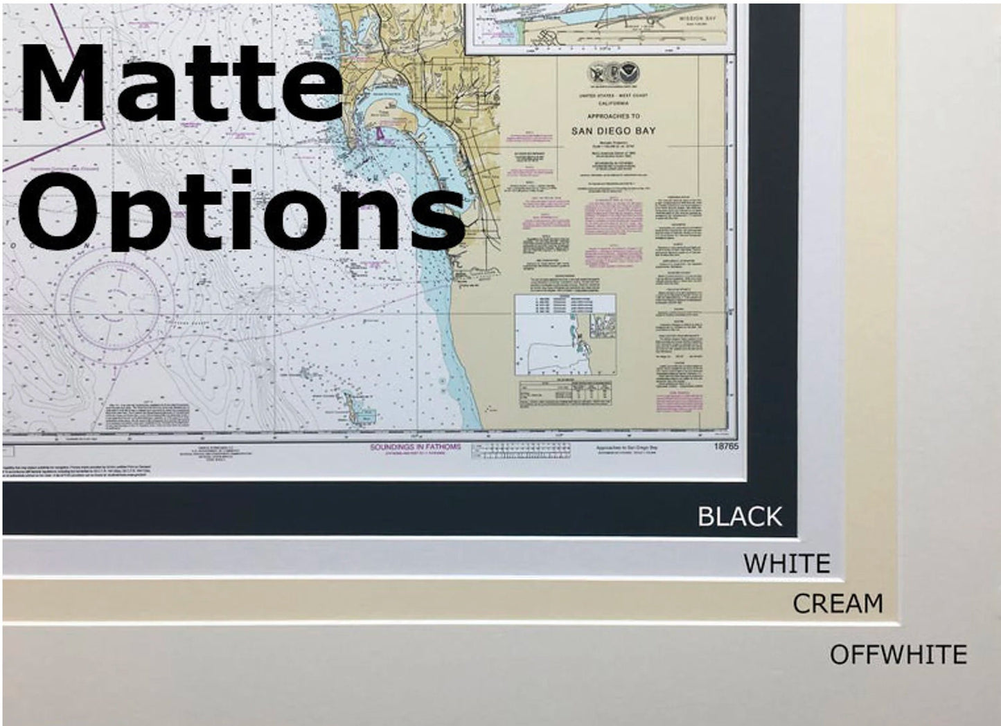
The nautical chart is elegantly presented in a solid wood frame and features a museum-quality print made from archival paper and inks, ensuring both durability and aesthetic appeal. It includes a sophisticated black mat that highlights the chart, all protected by a glass front for longevity. The back of the frame is finished with a paper duster, and a wire hanger is included for easy installation.
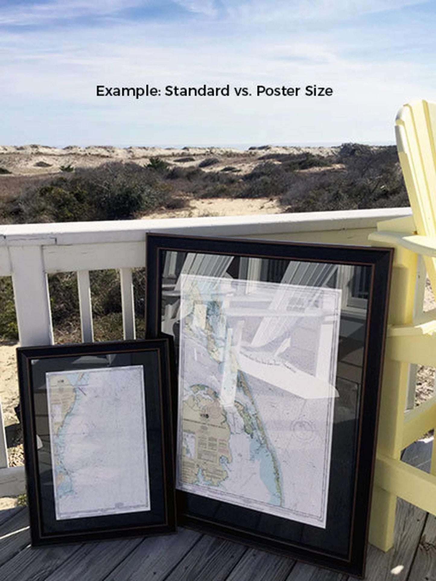
Available in two sizes:
- Standard size: outer frame dimensions approximately 24" x 18"
- Poster size: outer frame dimensions approximately 36" x 28"
If you’re interested in a different framing option, please don't hesitate to reach out with your request. We welcome sample photos to help us create exactly what you envision.
*Please note: Free ground shipping is available only for shipments to the 48 contiguous states. While we do not inflate our shipping costs, please contact us for custom shipping quotes for Alaska and Hawaii due to the higher shipping expenses.
Share