Framed Nautical Charts
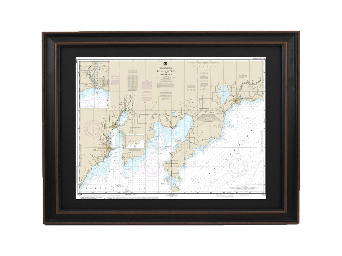
Framed Nautical Chart 14908 - Lake Michigan Dutch Johns Point to Fishery Point. NOAA 14908. Handmade in the USA.
Framed Nautical Chart 14908 - Lake Michigan Dutch Johns Point to Fishery Point. NOAA 14908. Handmade in the USA.
Couldn't load pickup availability
Discover the beauty of Lake Michigan with our meticulously crafted Framed Nautical Chart, spanning from Dutch Johns Point to Fishery Point, including the stunning Big Bay de Noc and Little Bay de Noc. This official NOAA Nautical Chart showcases the intricate details of these captivating waters. Each chart is custom-made in the USA, reflecting our commitment to superior craftsmanship.
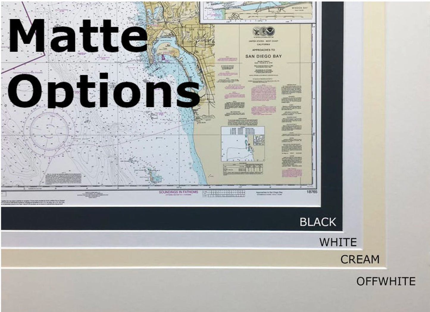
The chart is elegantly presented in a solid wood frame and features a museum-quality print created from archival paper and inks, ensuring durability and vibrancy. It is adorned with a sophisticated black mat and protected by a glass front, giving it a polished finish. The back of the frame is neatly finished with a paper duster, and a wire hanger is included for easy installation.
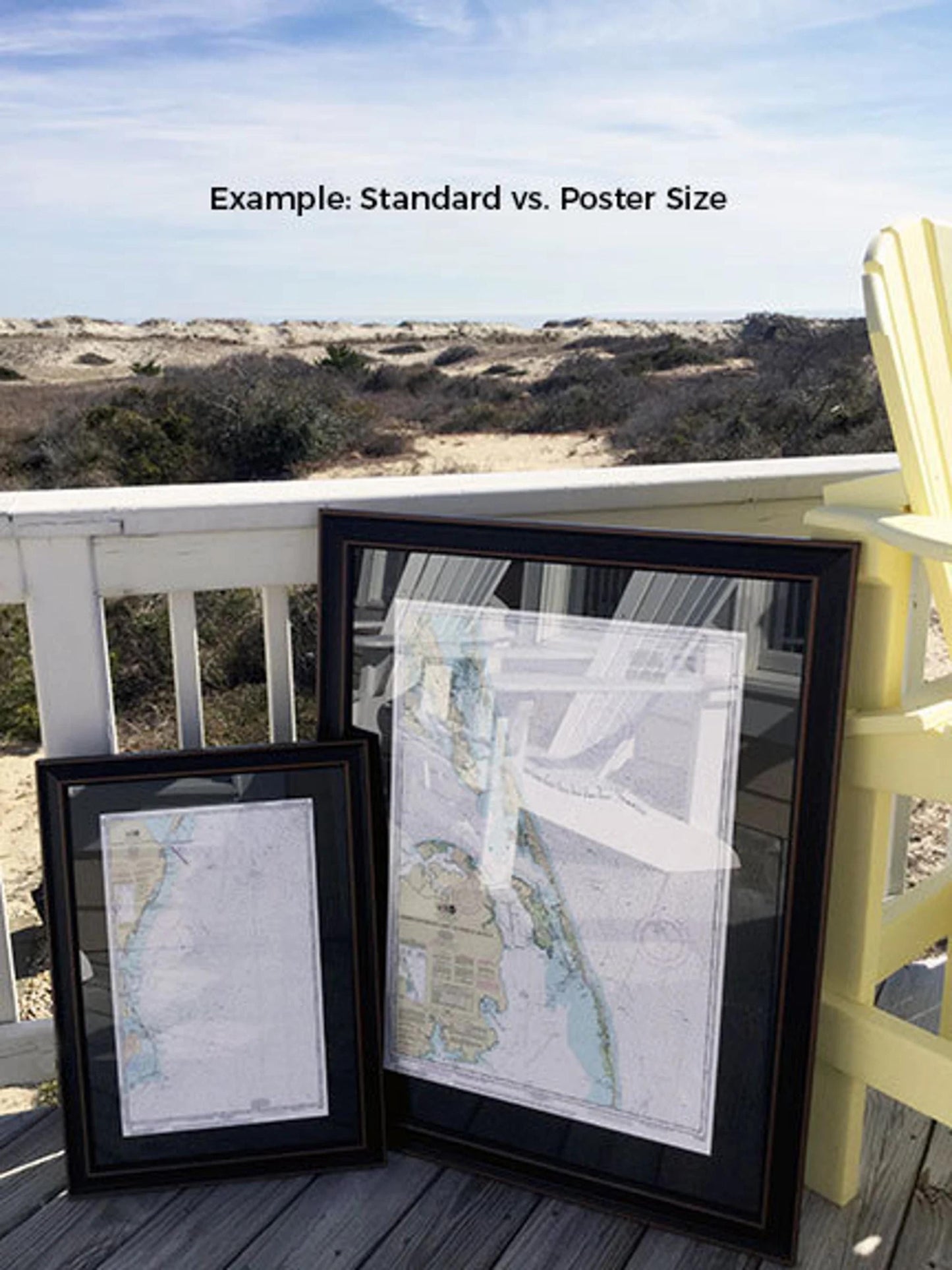
Available in two sizes to suit your space:
- Standard size: approximately 24" W x 18" H
- Poster size: approximately 36" W x 27" H
If you have a specific frame design in mind, feel free to reach out to us with your request. We welcome any sample photos to help us bring your vision to life.
*Important Shipping Note: We offer free ground shipping for deliveries within the 48 contiguous states. While we do not inflate shipping costs, please contact us for a custom shipping quote for destinations in Alaska and Hawaii, where shipping fees may be higher.*
Share