-
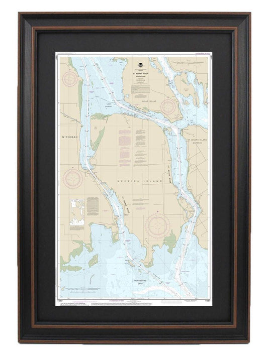
Framed Nautical Chart 14887 - St Marys River - Neebish Island, Michigan. NOAA 14887. Handmade in the USA.
Regular price From $149.99 USDRegular priceUnit price per$0.00 USDSale price From $149.99 USD -
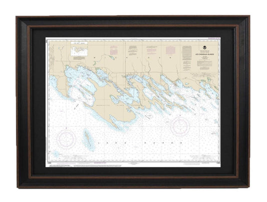
Framed Nautical Chart 14885 - Les Cheneaux Islands, Lake Huron, Michigan NOAA 14885. Handmade in the USA.
Regular price From $149.99 USDRegular priceUnit price per$0.00 USDSale price From $149.99 USD -
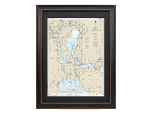
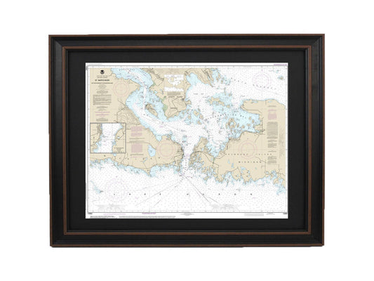
Framed Nautical Chart 14884 - Michigan's St. Marys River. NOAA 14884. Handmade in the USA.
Regular price From $149.99 USDRegular priceUnit price per$0.00 USDSale price From $149.99 USD -
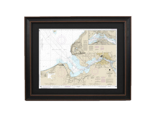
Framed Nautical Chart 14883 - Michigan's St. Marys River. NOAA 14883. Handmade in the USA.
Regular price From $149.99 USDRegular priceUnit price per$0.00 USDSale price From $149.99 USD -
Framed Nautical Chart 14882 - Lake Huron St. Mars River NOAA 14882. Handmade in the USA.
Regular price From $149.99 USDRegular priceUnit price per$0.00 USDSale price From $149.99 USD -
Framed Nautical Chart 14881 - Lake Huron, Detour Passage to Waugoshance Pt. NOAA 14881. Handmade in the USA.
Regular price From $149.99 USDRegular priceUnit price per$0.00 USDSale price From $149.99 USD -
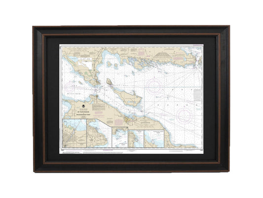
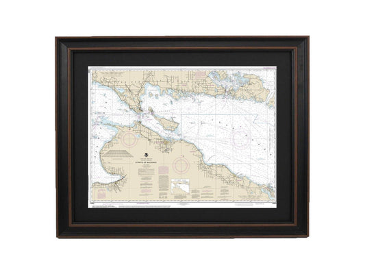
Framed Nautical Chart 14880 - Lake Huron, Straits of Mackinac. NOAA 14880. Handmade in the USA.
Regular price From $149.99 USDRegular priceUnit price per$0.00 USDSale price From $149.99 USD -
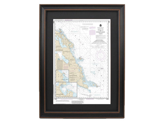
Framed Nautical Chart 14869 - Lake Huron Presque Isle & Stoneport Harbors. NOAA 14869. Handmade in the USA.
Regular price From $149.99 USDRegular priceUnit price per$0.00 USDSale price From $149.99 USD -
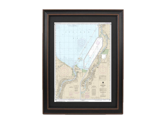
Framed Nautical Chart 14867 - Michigan's Saginaw River NOAA 14867. Handmade in the USA.
Regular price From $149.99 USDRegular priceUnit price per$0.00 USDSale price From $149.99 USD -
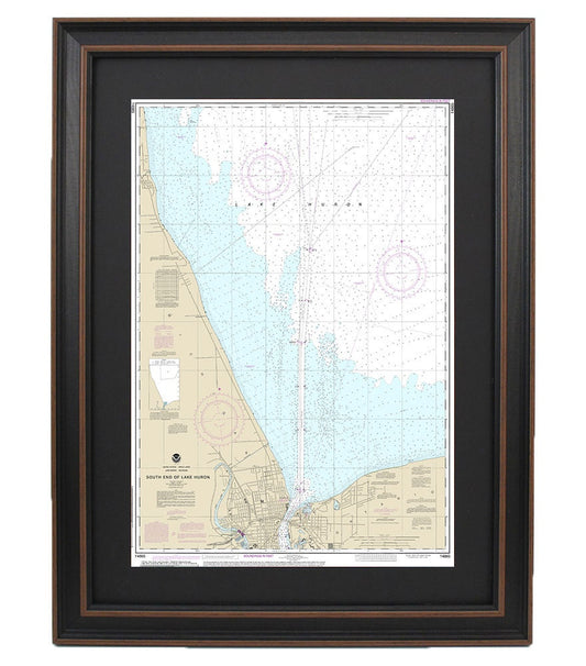
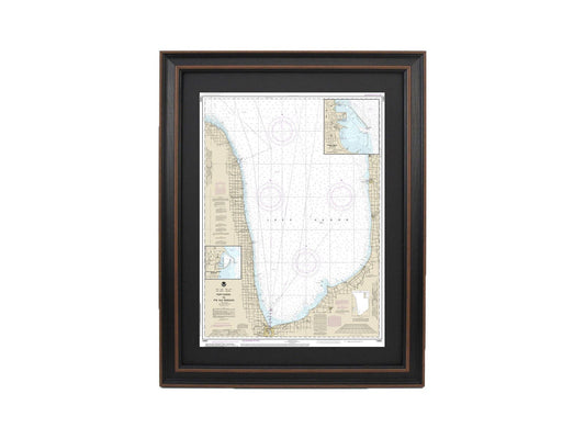
Framed Nautical Chart 14865 - South End of Lake Huron. NOAA 14865. Handmade in the USA.
Regular price From $149.99 USDRegular priceUnit price per$0.00 USDSale price From $149.99 USD -
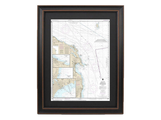
Framed Nautical Chart 14864 - Lake Huron, Harrisville to Forty Mile Point. NOAA 14864. Handmade in the USA.
Regular price From $149.99 USDRegular priceUnit price per$0.00 USDSale price From $149.99 USD -
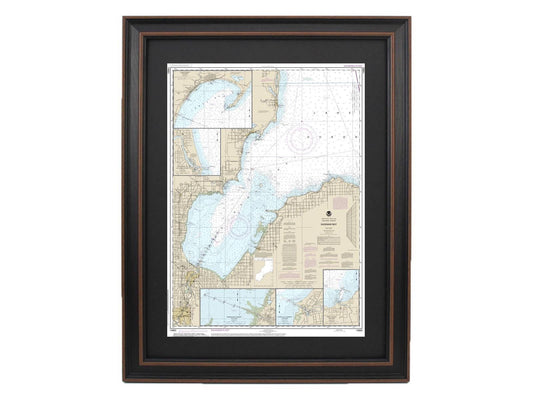
Framed Nautical Chart 14863 - Lake Huron, Saginaw Bay NOAA 14863. Handmade in the USA.
Regular price From $149.99 USDRegular priceUnit price per$0.00 USDSale price From $149.99 USD -
Framed Nautical Chart 14862- Lake Huron, Port Huron to Pte aux Barques NOAA 14862. Handmade in the USA.
Regular price From $149.99 USDRegular priceUnit price per$0.00 USDSale price From $149.99 USD -
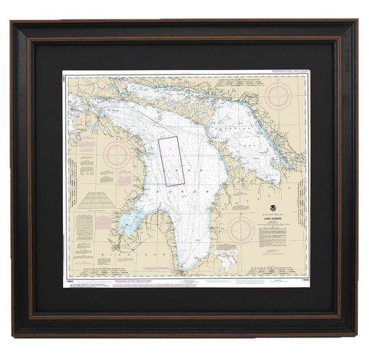
Framed Nautical Chart 14860 - Lake Huron. NOAA 14860. Handmade in the USA.
Regular price From $149.99 USDRegular priceUnit price per$0.00 USDSale price From $149.99 USD -
Framed Nautical Chart 14854 - Trenton River and River Rouge, Detroit River to Ford Motor Company. NOAA 14854. Handmade in the USA.
Regular price From $149.99 USDRegular priceUnit price per$0.00 USDSale price From $149.99 USD -
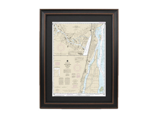
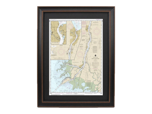
Framed Nautical Chart 14852 - Head of St. Clair River NOAA 14852. Handmade in the USA.
Regular price From $149.99 USDRegular priceUnit price per$0.00 USDSale price From $149.99 USD