Framed Nautical Charts
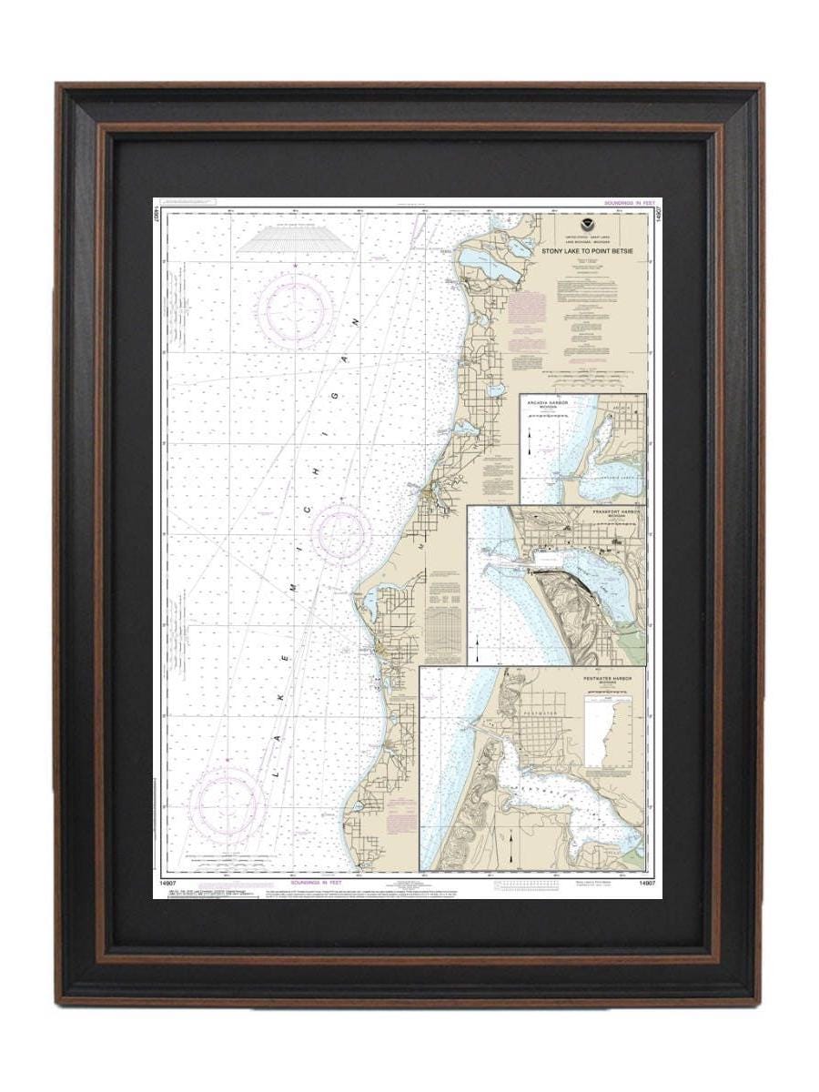
Framed Nautical Chart 14907 - Lake Michigan Stony Lake to Point Betsie. NOAA 14907. Handmade in the USA.
Framed Nautical Chart 14907 - Lake Michigan Stony Lake to Point Betsie. NOAA 14907. Handmade in the USA.
Couldn't load pickup availability
This beautifully framed nautical map showcases the stunning waters of Lake Michigan, specifically spanning from Stony Lake to Point Betsie, including Pentwater, Arcadia, and Frankfort. As an official NOAA Nautical Chart, it provides detailed information about these picturesque regions. Each chart is meticulously handcrafted in the USA, ensuring high standards of craftsmanship and quality.
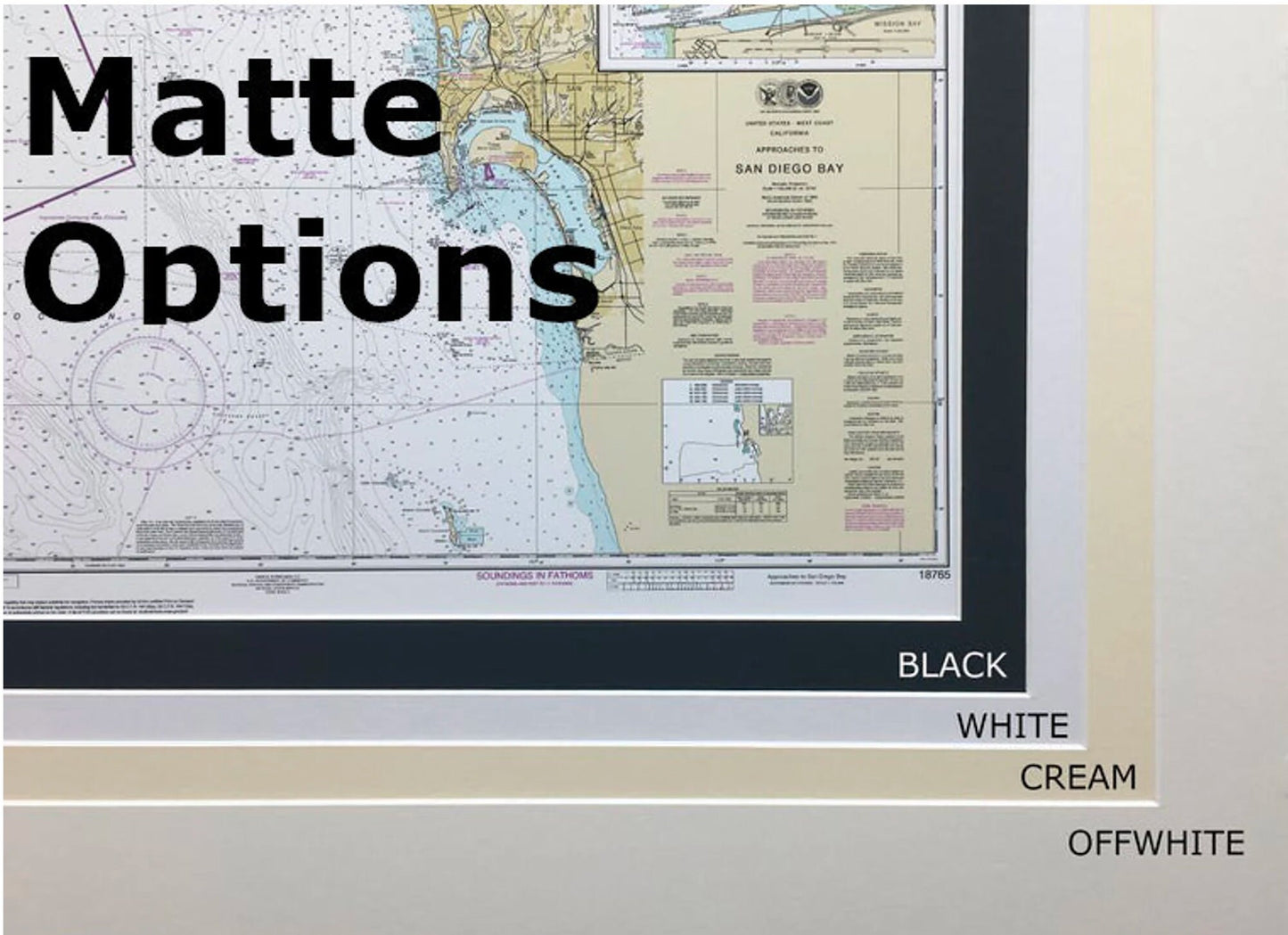
The nautical chart is elegantly displayed in a solid wood frame, featuring a museum-quality print made from archival-grade paper and inks designed for longevity. It includes a sophisticated black mat and is protected by a glass front, allowing you to admire the intricate details of the chart while keeping it safe from dust and damage. The back is elegantly finished with a paper duster, and a wire hanger is included for easy installation.
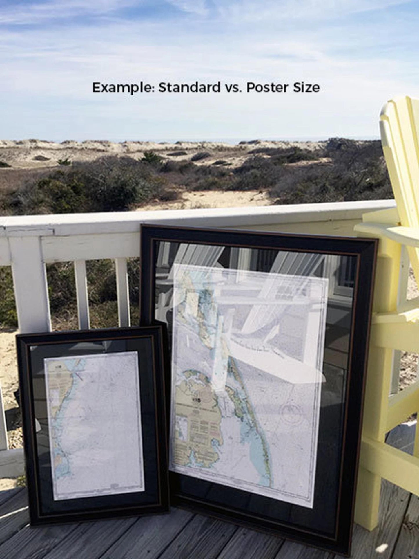
We offer two frame sizes to suit your preference:
- Standard size: Approx. 17 1/4" W x 24" H
- Poster size: Approx. 26" W x 36" H
If you have a specific framing request, please feel free to reach out to us. We welcome any sample photos you may have to ensure we create exactly what you envision.
*Important Shipping Note: Free ground shipping is available only for shipments within the 48 contiguous states. We strive to keep our shipping costs reasonable; however, due to the higher costs associated with shipping to Alaska and Hawaii, please contact us for custom shipping quotes.
Share