Framed Nautical Charts
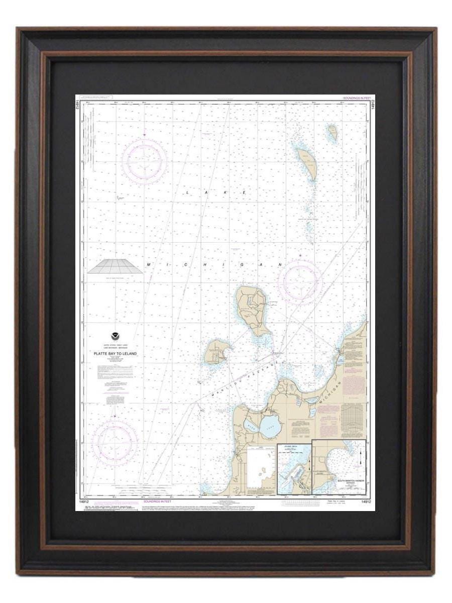
Framed Nautical Chart 14912 - Lake Michigan Platte Bay to Leland. NOAA 14912. Handmade in the USA.
Framed Nautical Chart 14912 - Lake Michigan Platte Bay to Leland. NOAA 14912. Handmade in the USA.
Couldn't load pickup availability
Discover the beauty of Lake Michigan with our Framed Nautical Chart, spanning from Platte Bay to Leland and including South Manitou Harbor. This officially licensed NOAA Nautical Chart showcases the intricate details of these stunning waters, making it a perfect addition to any lake house or nautical-themed decor. Each chart is meticulously handcrafted in the USA, reflecting our commitment to high-quality craftsmanship.
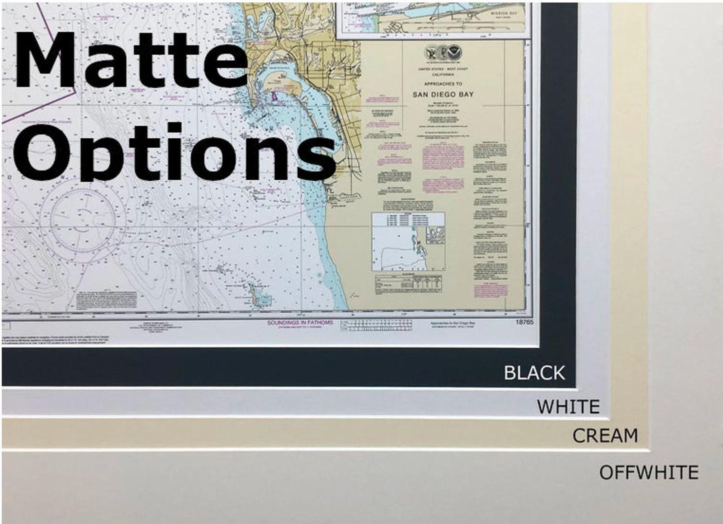
Presented in a solid wood frame, the chart features a museum-quality print made from archival paper and inks, ensuring its longevity and vibrancy. It comes complete with a stylish black mat and a protective glass front, enhancing its visual appeal. The back of the frame is finished with a paper duster for a polished look, and a wire hanger is included for effortless installation.
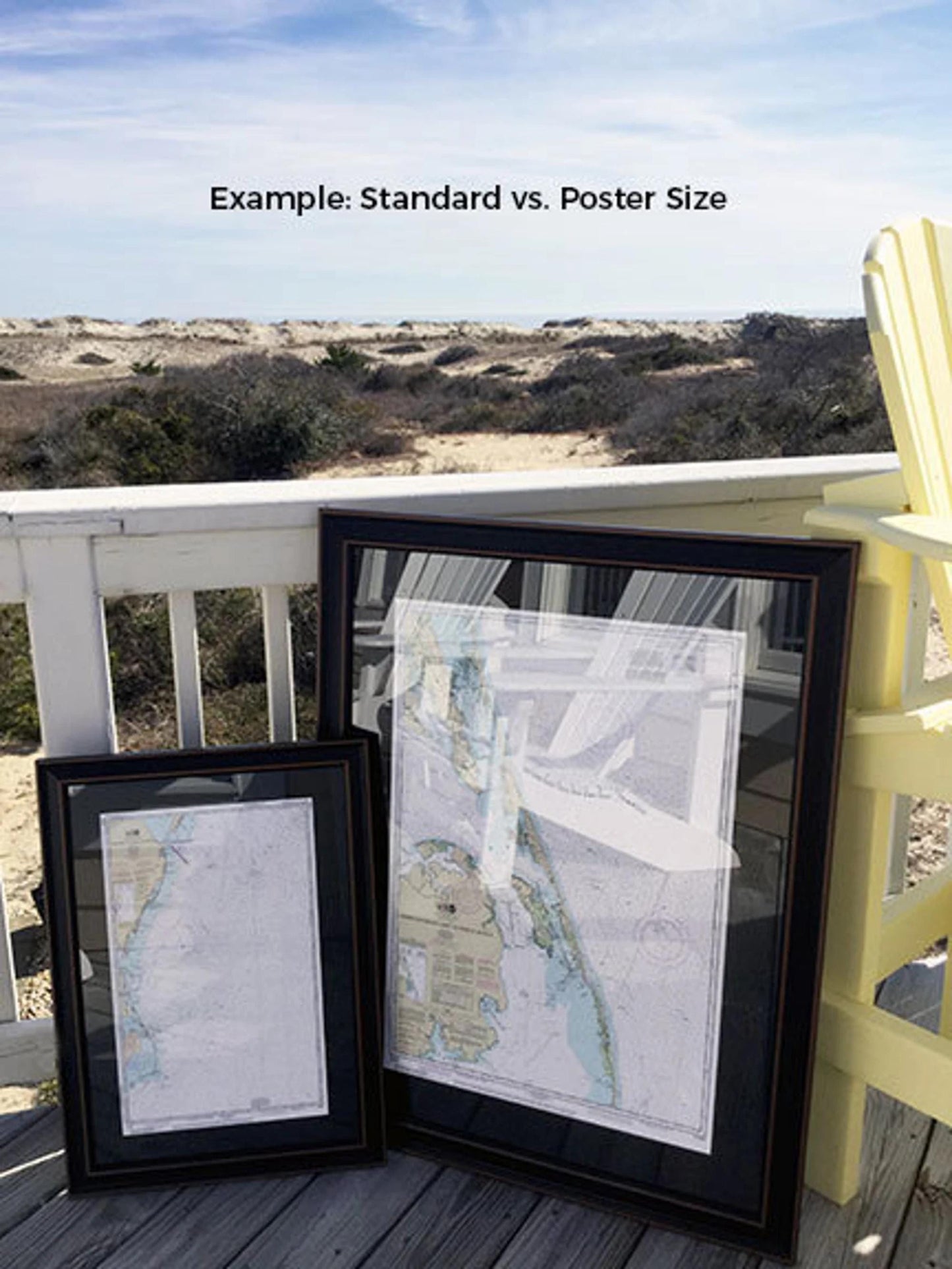
Choose from two frame sizes to suit your space:
- Standard size: Outer frame dimensions approximately 17 1/4" W x 24" H
- Poster size: Outer frame dimensions approximately 27 3/4" W x 36" H
If you're interested in a different frame option, please don't hesitate to reach out with your request. We are more than happy to work with you and will welcome any sample photos you may have to help us create exactly what you envision for your home.
*Important Shipping Note: Free ground shipping is available for destinations within the 48 contiguous states. While we do not inflate shipping costs, please contact us for a custom shipping quote if you're located in Alaska or Hawaii, as those rates may vary.
Share