


Framed Nautical Charts
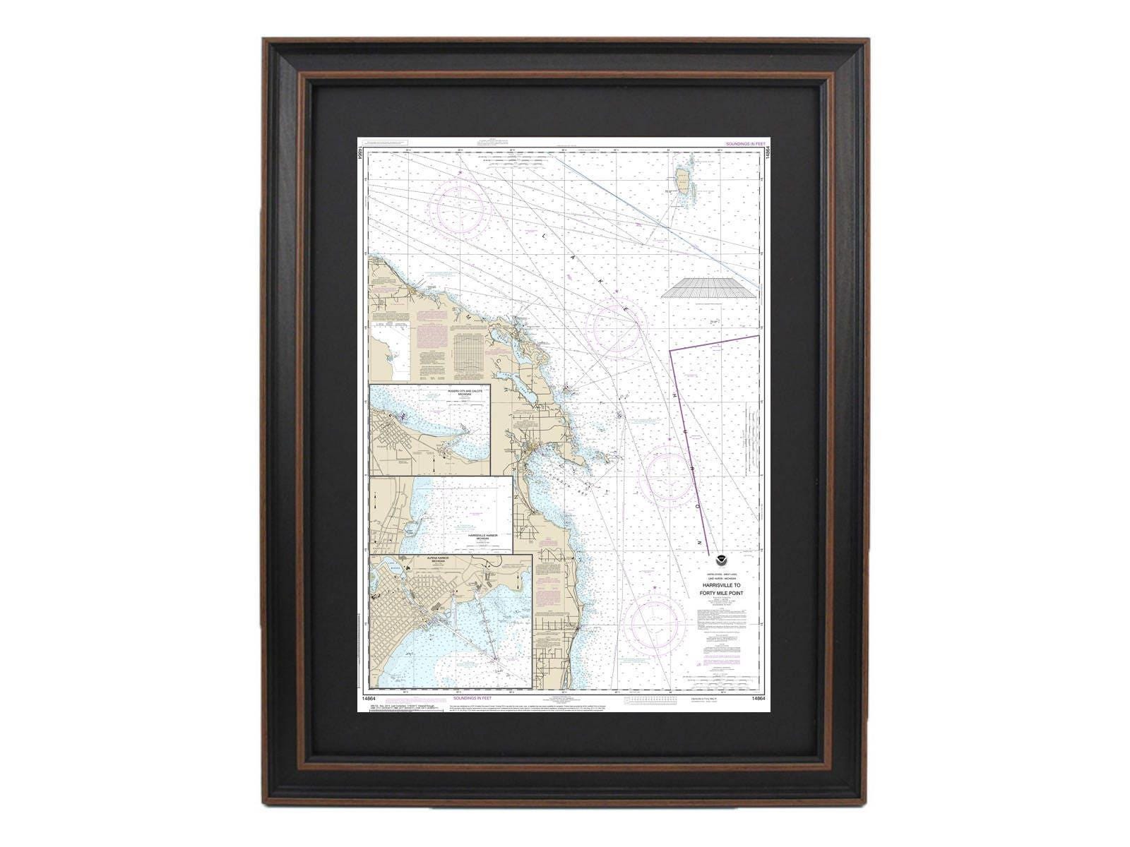
Framed Nautical Chart 14864 - Lake Huron, Harrisville to Forty Mile Point. NOAA 14864. Handmade in the USA.
Framed Nautical Chart 14864 - Lake Huron, Harrisville to Forty Mile Point. NOAA 14864. Handmade in the USA.
Couldn't load pickup availability
Discover the stunning beauty of Lake Huron with our expertly crafted Framed Nautical Chart, which highlights the waters from Harrisville to Forty Mile Point, including Harrisville Harbor, Alpena, Rogers City, and Calcite. This official NOAA Nautical Chart is not just a map; it's a work of art that showcases the intricate details of these captivating waters.
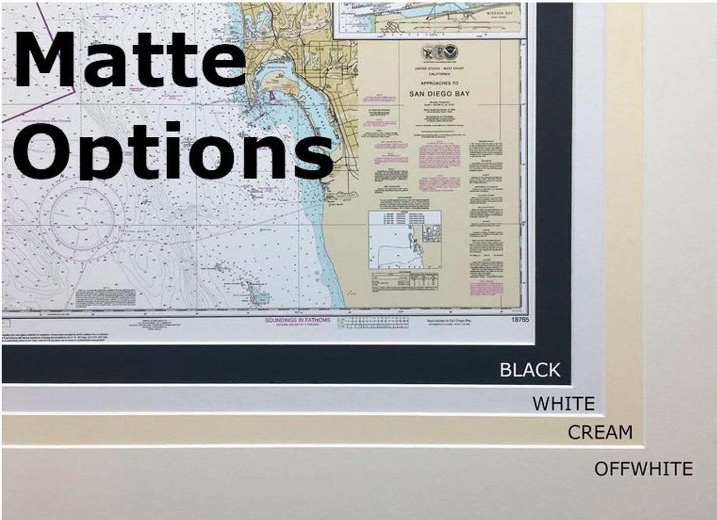
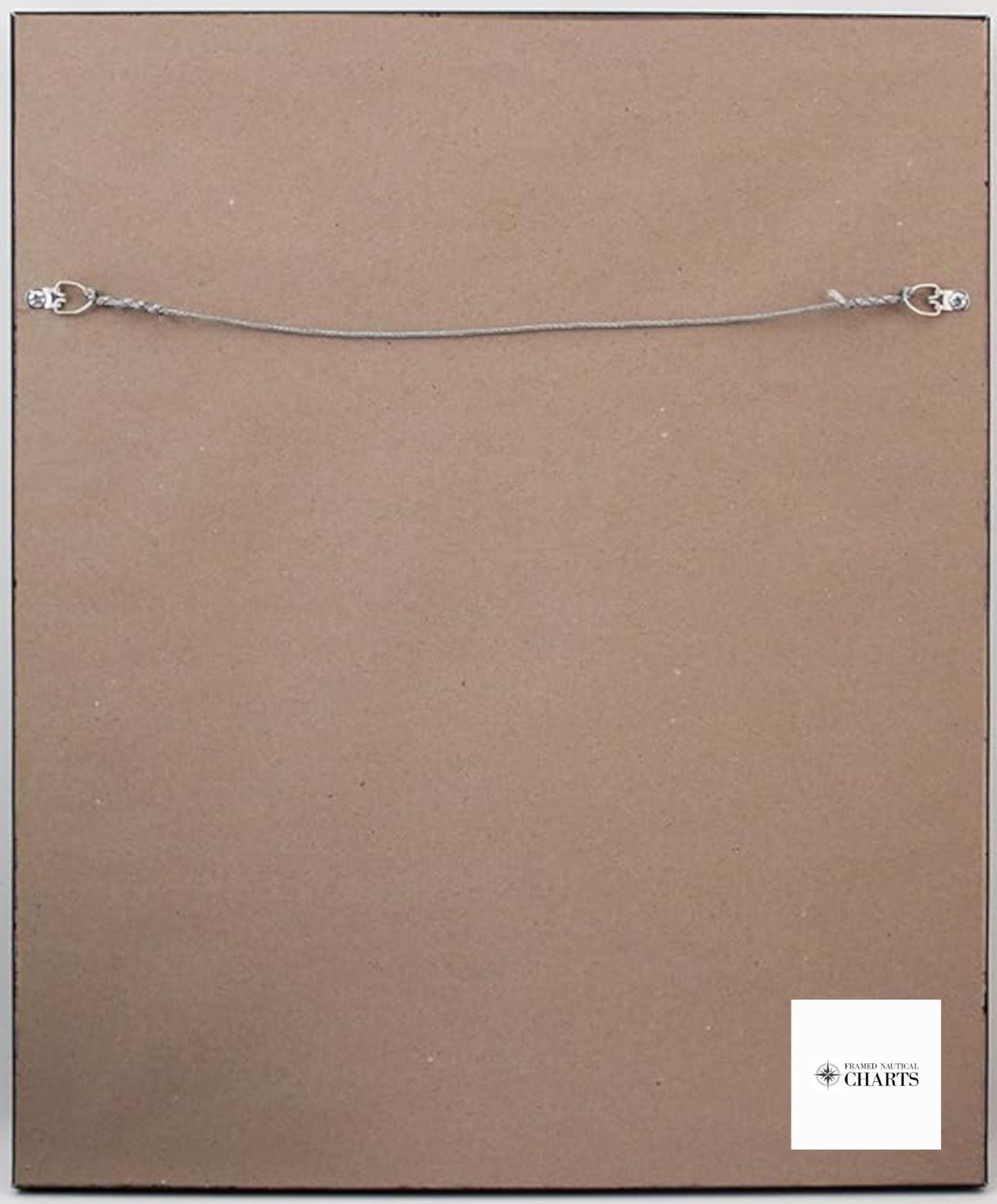
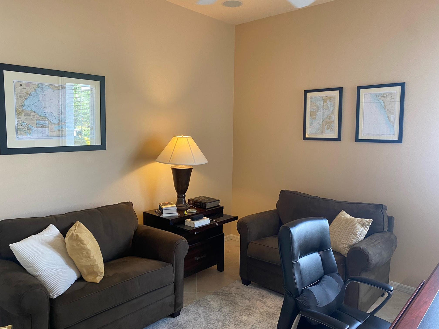
Each piece is custom handmade in the USA, reflecting a commitment to high standards of craftsmanship. The chart is elegantly displayed in a solid wood frame, featuring a museum-quality print made from archival paper and inks to ensure longevity and vibrancy. It comes with a sophisticated black mat and is protected by a glass front for a polished finish. The back is neatly finished with a paper duster, and a wire hanger is included for easy installation.
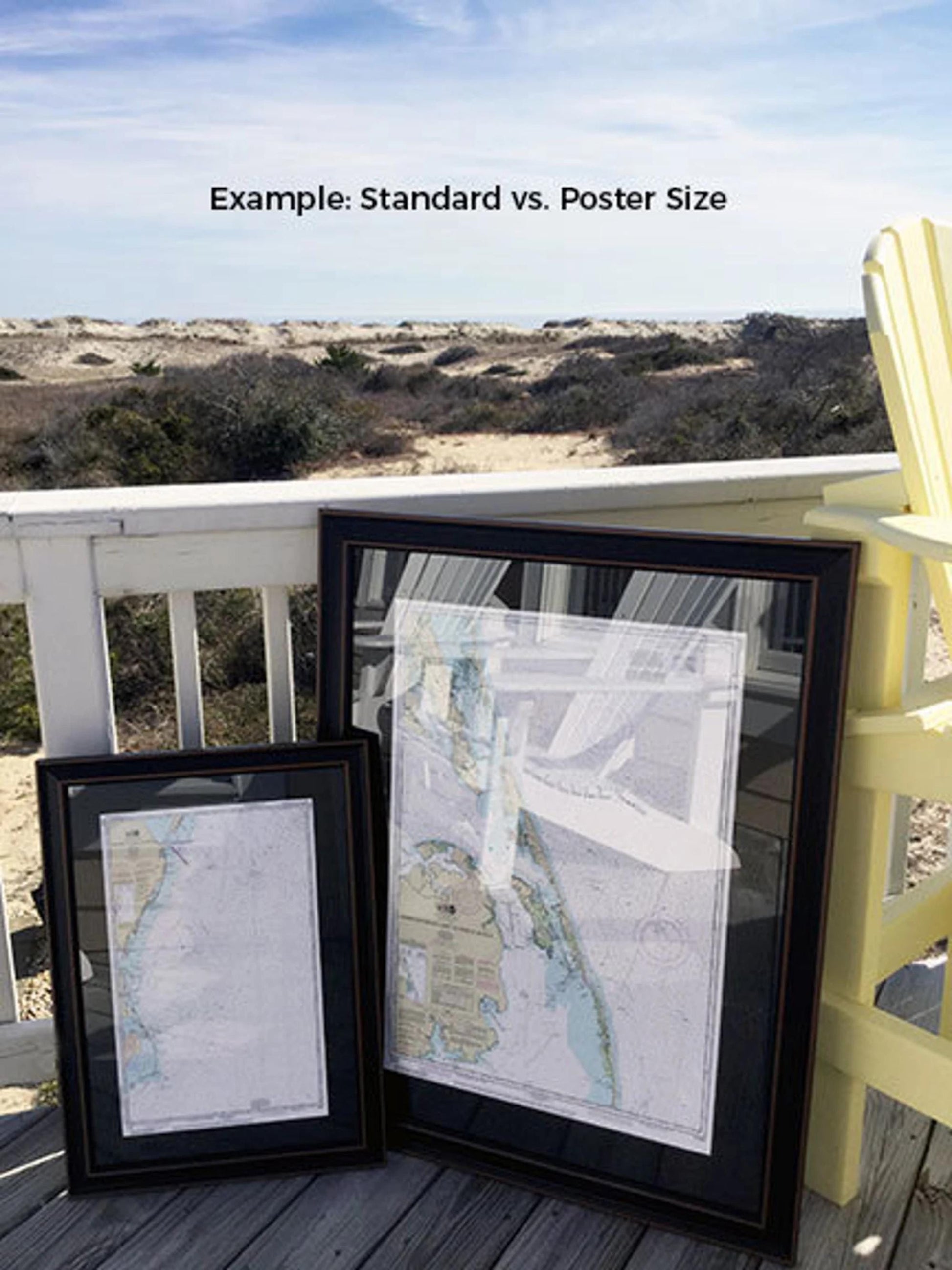
Our frames are available in two sizes to suit your space:
- Standard Size: Outer frame dimensions are approximately 17 1/4" W x 24" H
- Poster Size: Outer frame dimensions are approximately 25 3/4" W x 36" H
If you're interested in a different frame option, feel free to contact us with your request. We welcome any sample photos you may have to help us create the perfect piece for your vision.
*Important Shipping Note: Free ground shipping is available only for deliveries within the 48 contiguous states. We do not inflate shipping costs, but please note that due to the high shipping rates to Alaska and Hawaii, we encourage you to reach out for custom shipping quotes.
Share