Framed Nautical Charts
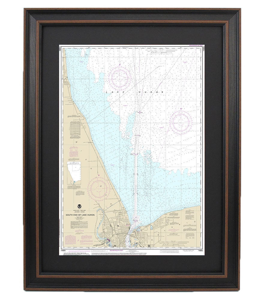
Framed Nautical Chart 14865 - South End of Lake Huron. NOAA 14865. Handmade in the USA.
Framed Nautical Chart 14865 - South End of Lake Huron. NOAA 14865. Handmade in the USA.
Couldn't load pickup availability
This beautifully framed nautical map features the scenic waterways of the southern end of Lake Huron, meticulously created from the official NOAA Nautical Chart 14865. Each chart is handcrafted in the USA, ensuring exceptional craftsmanship and attention to detail. Presented in a solid wood frame, this artwork boasts a museum-quality print made from archival paper and inks, ensuring durability and vivid colors.
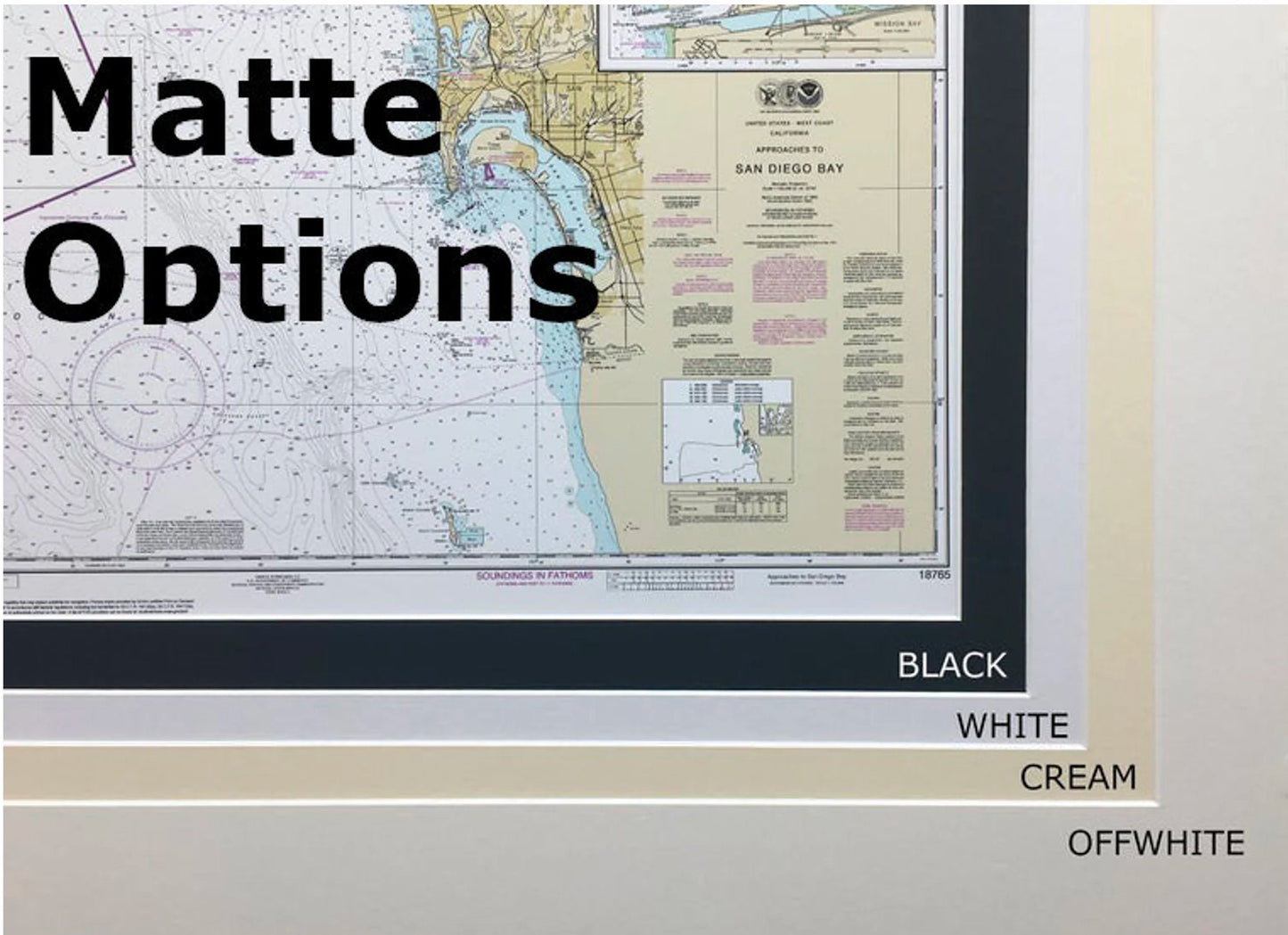
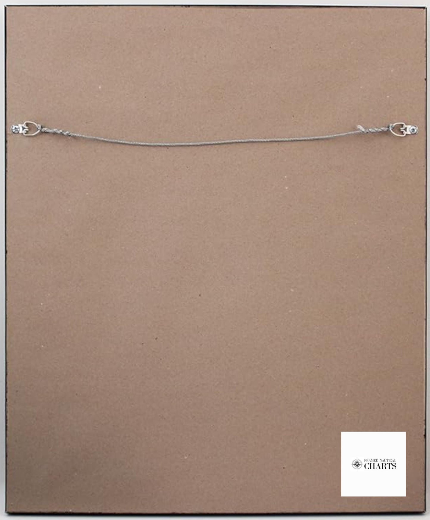
The map is enhanced with a classic black mat and protected by a glass front, making it a perfect addition to any home or office decor. The back is elegantly finished with a paper duster, and a wire hanger is included for easy installation.
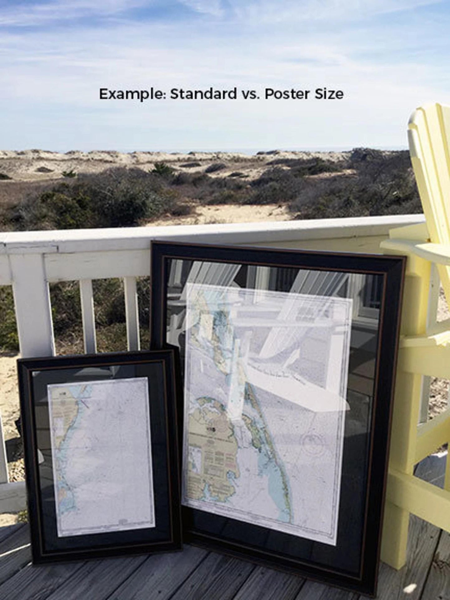
Available in two sizes, you can choose the perfect fit for your space:
- Standard size: Approx. 24" W x 17.5" H
- Poster size: Approx. 36" W x 26" H
If you're interested in a different framing option, feel free to reach out with your request. We’re happy to collaborate and bring your vision to life, so don’t hesitate to share any sample photos you may have.
*Important Shipping Note: We offer free ground shipping for orders shipped to the 48 contiguous states. While we do not inflate our shipping fees, please contact us for custom shipping quotes if you need delivery to Alaska or Hawaii, as costs may vary.
Share