Framed Nautical Charts
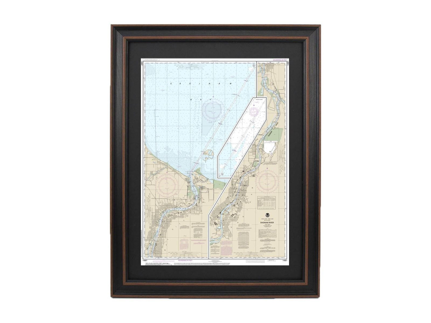
Framed Nautical Chart 14867 - Michigan's Saginaw River NOAA 14867. Handmade in the USA.
Framed Nautical Chart 14867 - Michigan's Saginaw River NOAA 14867. Handmade in the USA.
Couldn't load pickup availability
Discover the exquisite beauty of Michigan's Saginaw River with this meticulously crafted framed nautical chart, NOAA Chart 14867. This official nautical map captures the detailed contours and features of these stunning waters, making it a perfect addition for boating enthusiasts, nature lovers, or anyone looking to celebrate this unique region.
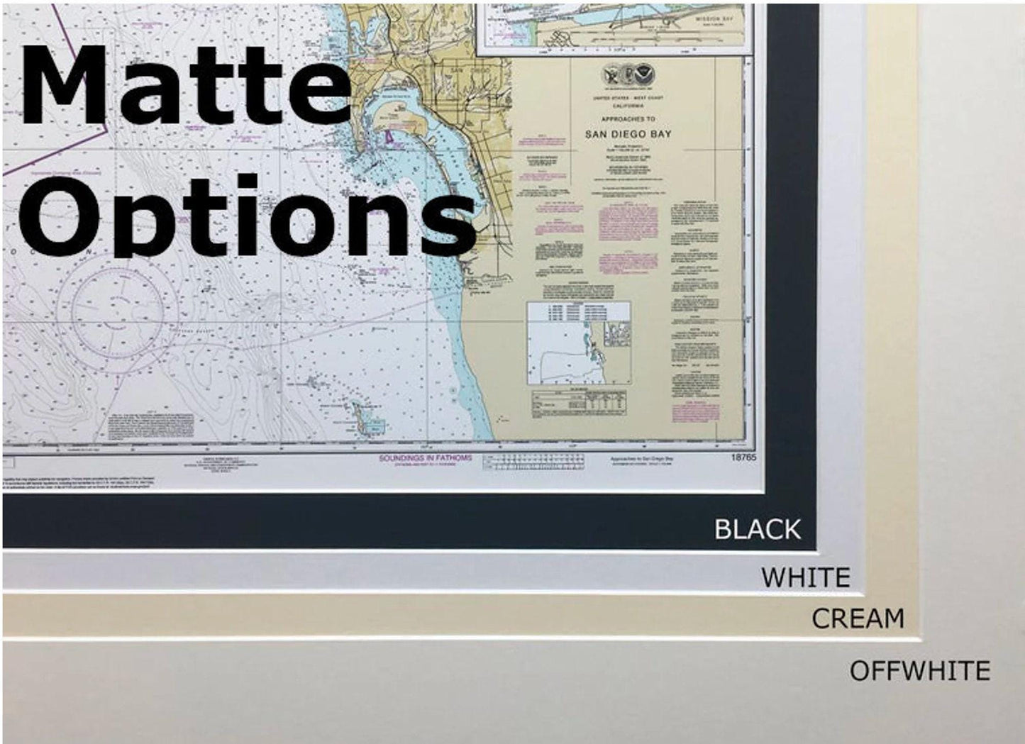
Handmade in the USA, each chart embodies exceptional craftsmanship and quality. It is elegantly presented in a solid wood frame that complements the artistry of the map. The museum-quality print is produced on archival paper using high-quality inks, ensuring durability and vibrant colors that will stand the test of time. The chart is also enhanced with a sleek black mat and protected by a glass front, adding to its sophisticated appeal. For added convenience, the back is finished with a paper duster and comes equipped with a wire hanger for easy installation.
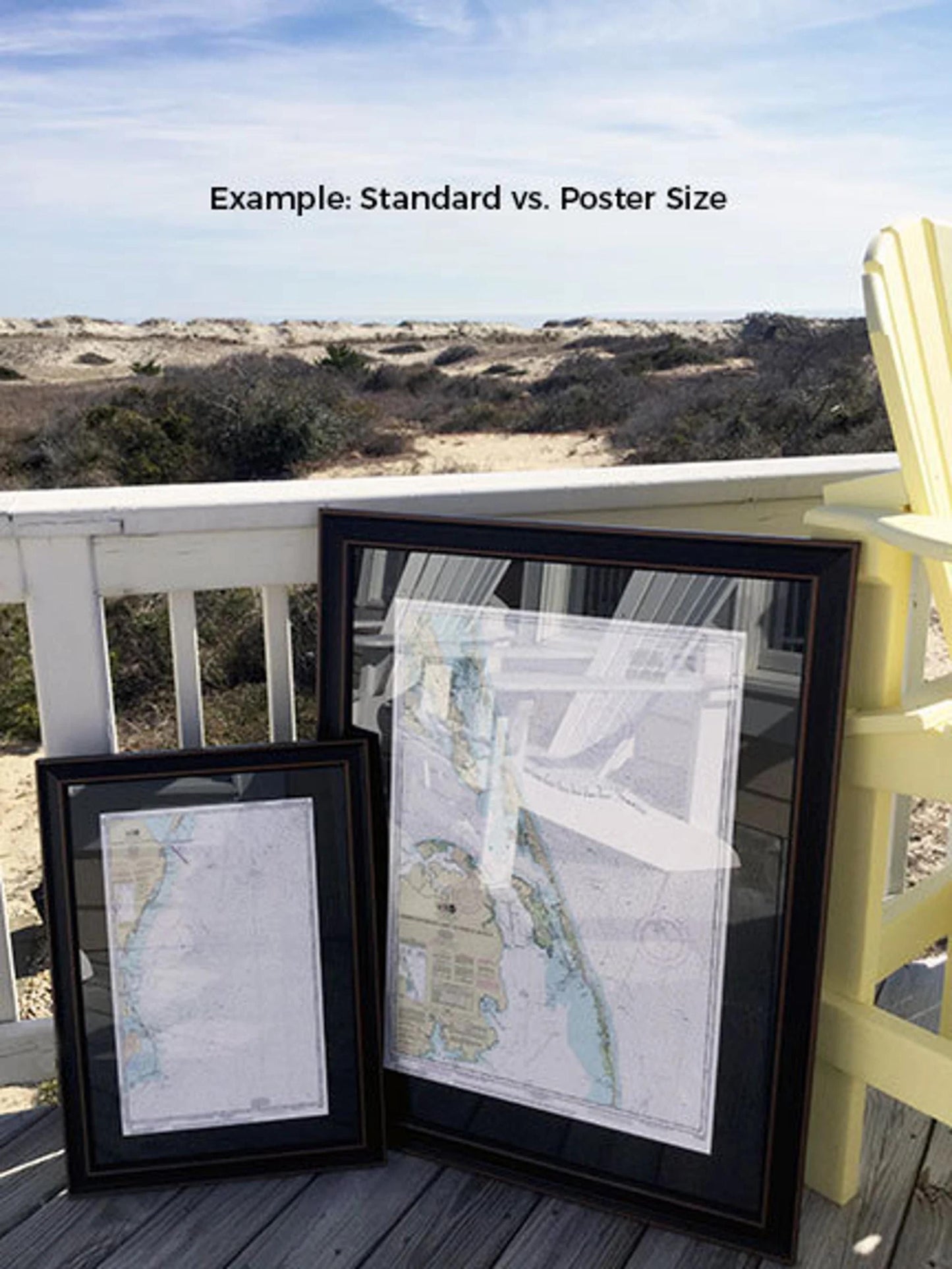
Available in two sizes to fit your space perfectly:
- Standard size: Outer frame dimensions are approximately 17" W x 24" H.
- Poster size: Outer frame dimensions are approximately 25 3/4" W x 36" H.
If you have a specific frame style in mind or need a custom request, feel free to reach out—we’re eager to collaborate and help bring your vision to life!
*Please note: Free ground shipping is available for deliveries within the contiguous 48 states. For shipments to Alaska and Hawaii, please contact us for a custom shipping quote, as we do not mark up shipping costs but aim to provide accurate pricing.*
Share