Framed Nautical Charts
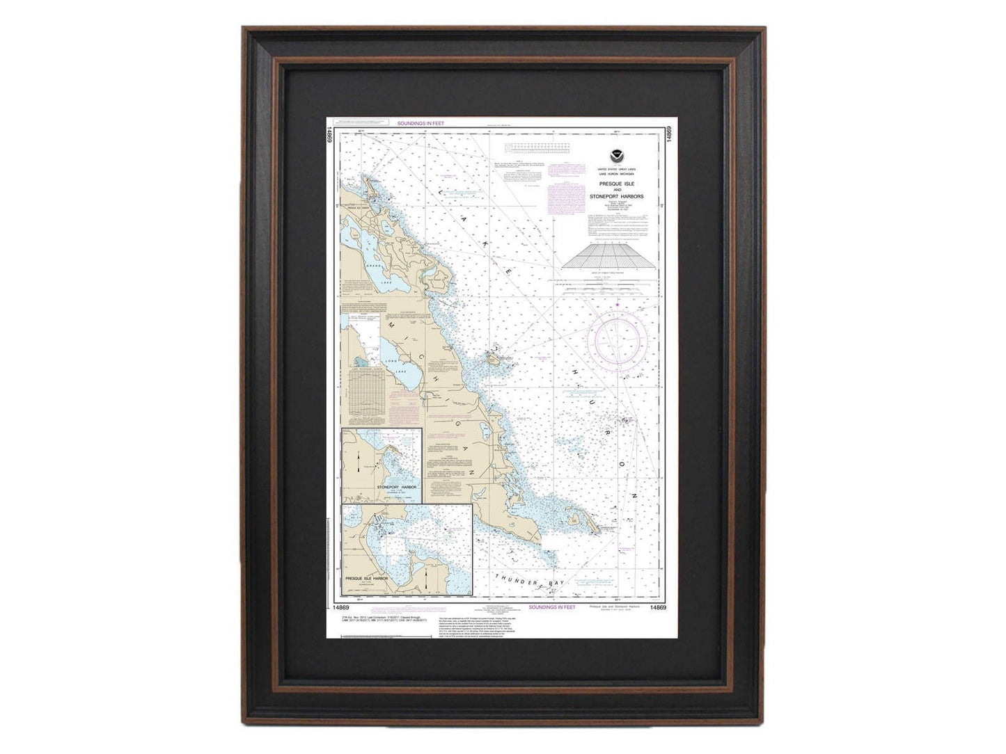
Framed Nautical Chart 14869 - Lake Huron Presque Isle & Stoneport Harbors. NOAA 14869. Handmade in the USA.
Framed Nautical Chart 14869 - Lake Huron Presque Isle & Stoneport Harbors. NOAA 14869. Handmade in the USA.
Couldn't load pickup availability
Discover the beauty of Lake Huron with this meticulously crafted framed nautical chart, which spans from Thunder Bay Island to Presque Isle and includes Stoneport Harbor and Presque Isle Harbor. As an official NOAA Nautical Chart, this piece offers an intricate and accurate representation of these stunning waters.
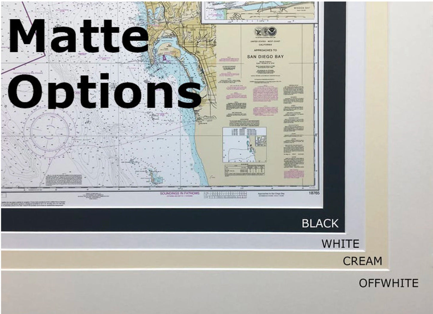
Each chart is custom handmade in the USA, showcasing exceptional craftsmanship. It comes elegantly framed in solid wood and features a museum-quality print that utilizes archival paper and inks for long-lasting vibrancy. The design is enhanced by a classic black mat and is protected by a glass front, ensuring the chart remains pristine. The back is thoughtfully finished with a paper duster for a polished look, and a wire hanger is included for easy installation.
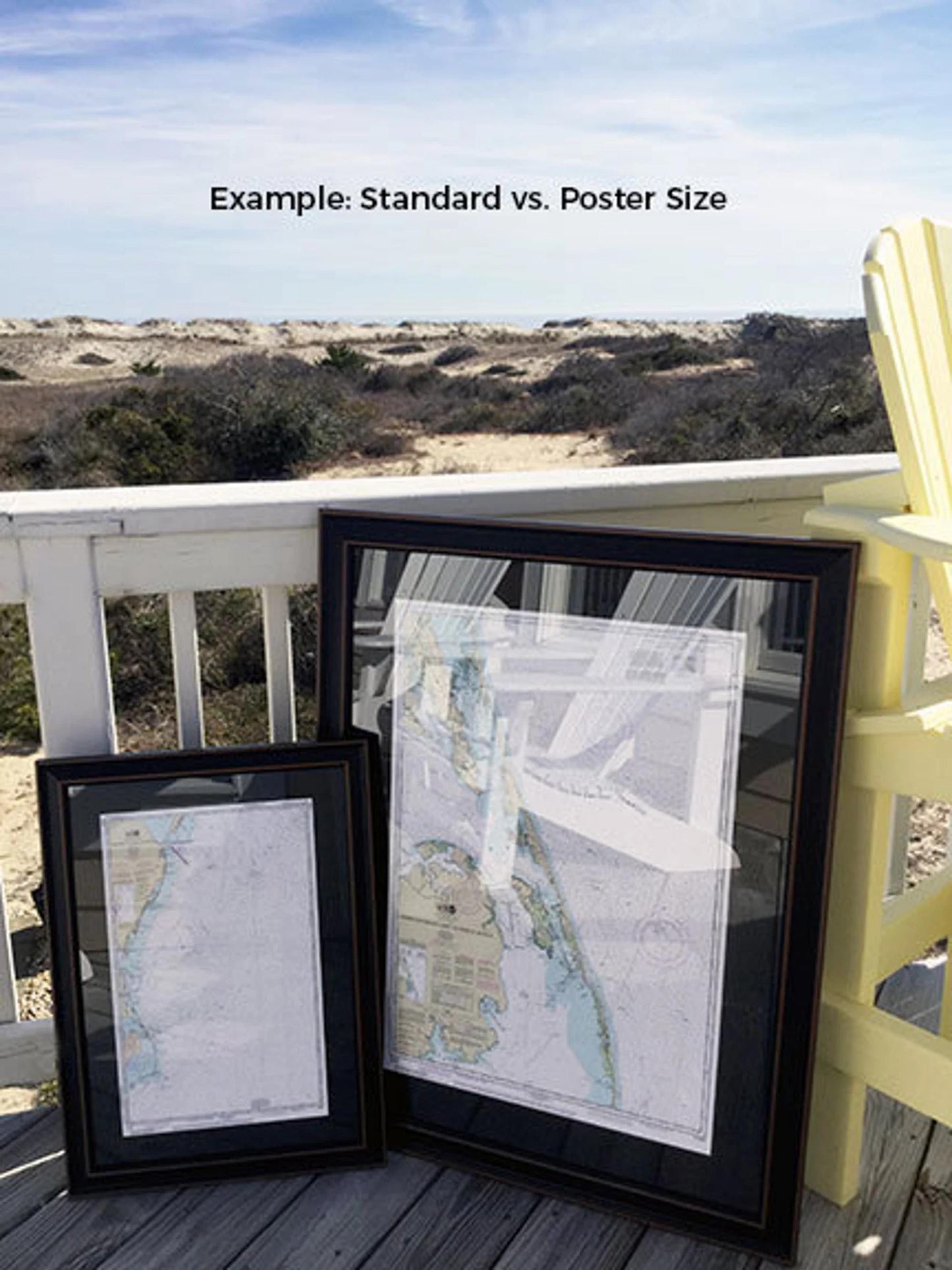
Choose from two sizes to best fit your space:
- Standard size: approx. 16" W x 24" H
- Poster size: approx. 24 1/4" W x 36" H
If you have specific framing preferences, please reach out to us with your ideas. We are happy to collaborate and create a custom piece that perfectly matches your vision.
*Please note: Free ground shipping is available only to the 48 contiguous states. While we strive to keep shipping costs transparent, please contact us for custom shipping quotes to Alaska and Hawaii due to higher shipping fees.
Share