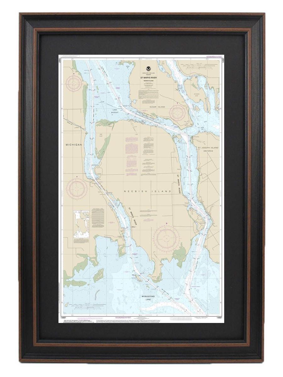


Framed Nautical Charts
Framed Nautical Chart 14887 - St Marys River - Neebish Island, Michigan. NOAA 14887. Handmade in the USA.
Framed Nautical Chart 14887 - St Marys River - Neebish Island, Michigan. NOAA 14887. Handmade in the USA.
Couldn't load pickup availability
Discover the beauty of the St. Marys River and Neebish Island, Michigan, with our meticulously crafted Framed Nautical Chart 14887, produced by NOAA. This stunning handmade map captures the essence of these breathtaking waters and is expertly designed in the USA, ensuring superior craftsmanship and quality.
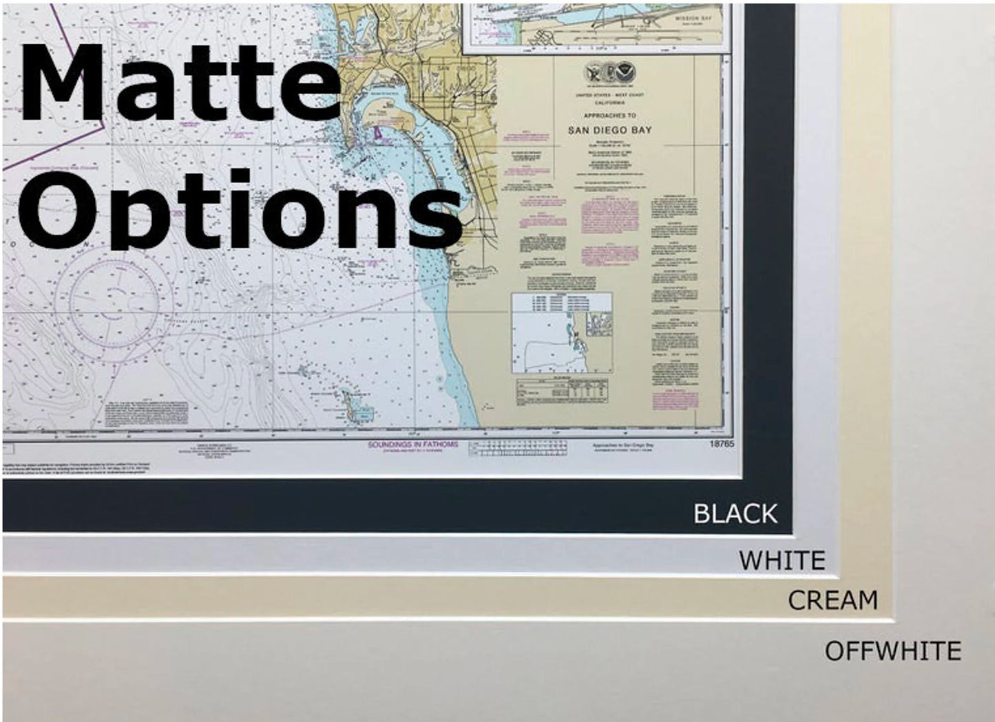
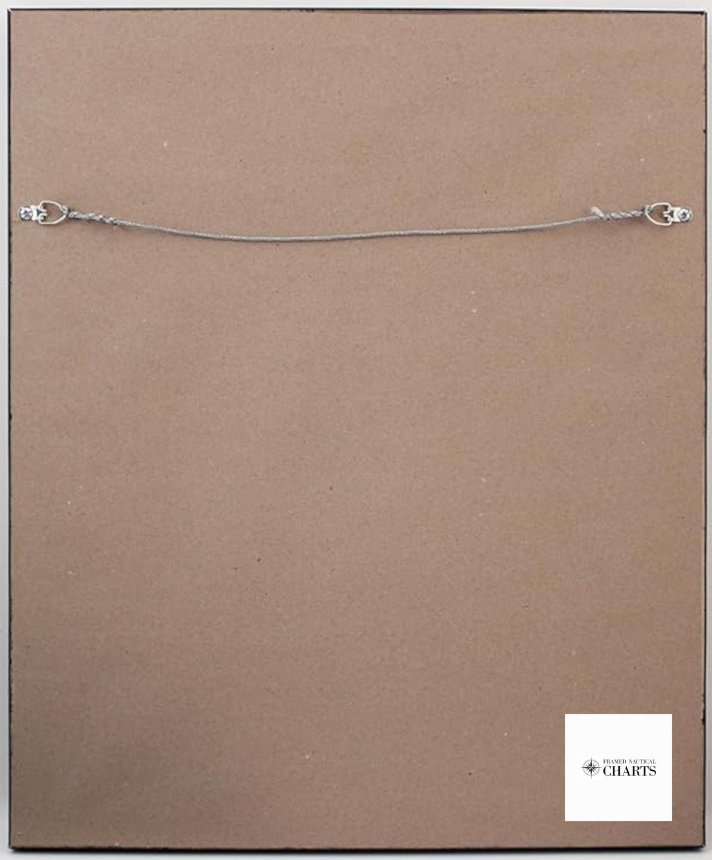
Each chart is presented in a solid wood frame, showcasing a museum-quality print on archival paper, utilizing premium inks for longevity and vibrancy. The nautical chart is enhanced with a sophisticated black mat and is protected by a glass front, making it not only a decorative piece but also a durable addition to your home or office decor. The back is elegantly finished with a paper duster, and a wire hanger is included for easy installation.
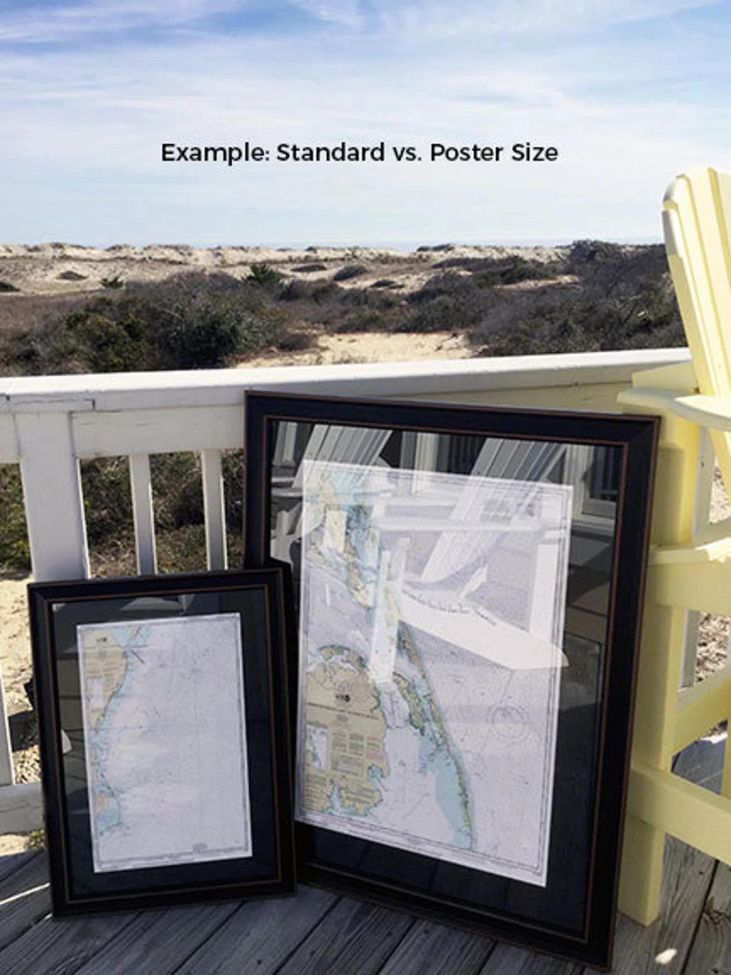
We offer two frame sizes to suit your space:
- Standard Frame: Outer dimensions approximately 14 3/4" W x 24" H
- Poster Frame: Outer dimensions approximately 22" W x 36" H
If you’re considering a different framing option, please reach out to us—we're happy to accommodate your requests. We also welcome any sample photos you may provide to help us bring your vision to life.
*Important Shipping Note: Free ground shipping is available for deliveries within the 48 contiguous states. While we do not inflate shipping costs, please contact us for custom shipping quotes to Alaska and Hawaii due to the higher shipping expenses for these locations.
Share