Framed Nautical Charts
Framed Nautical Chart 14863 - Lake Huron, Saginaw Bay NOAA 14863. Handmade in the USA.
Framed Nautical Chart 14863 - Lake Huron, Saginaw Bay NOAA 14863. Handmade in the USA.
Couldn't load pickup availability
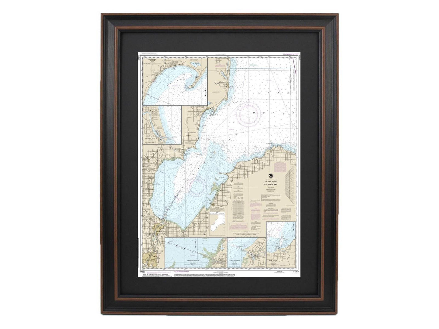
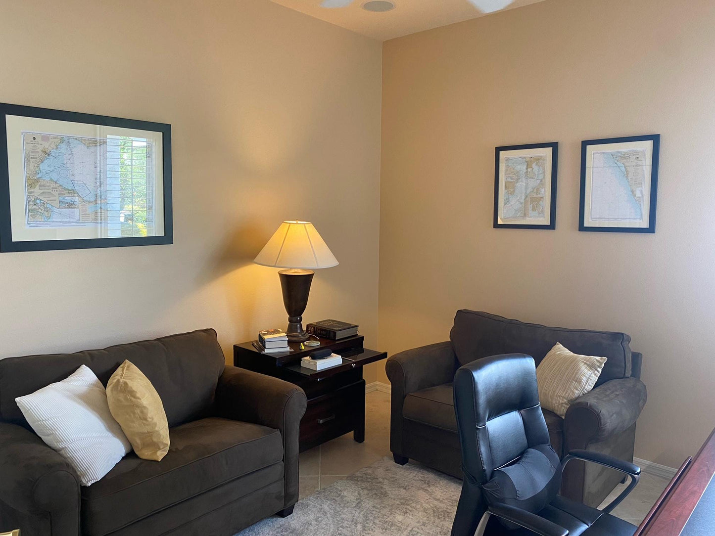
Discover the beauty of Lake Huron with this exquisite Framed Nautical Chart 14863, specifically capturing the waters of Saginaw Bay, Port Austin Harbor, Caseville Harbor, the entrance to the Au Sable River, Sebewaing Harbor, and Tawas Harbor. This chart, an official NOAA Nautical Chart, showcases the intricate details of these stunning locations. Each piece is custom handmade in the USA, reflecting a commitment to high standards of craftsmanship.
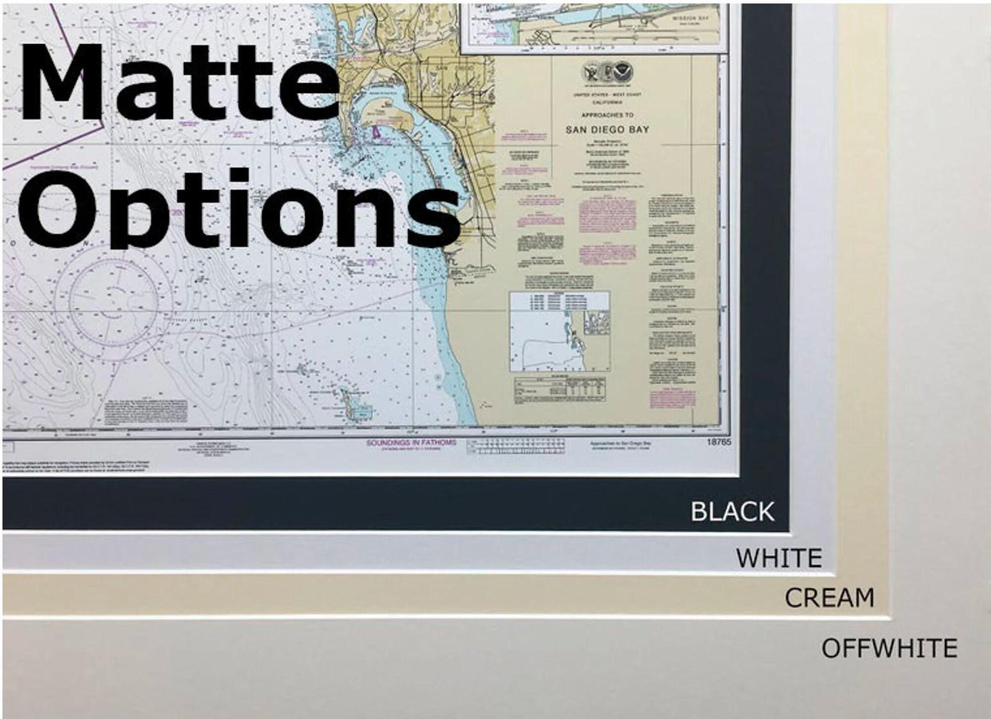
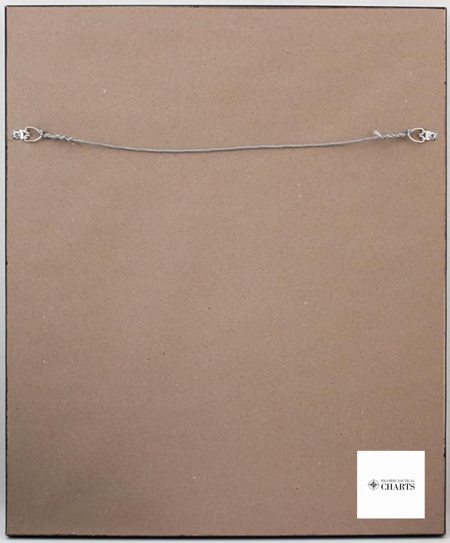
Presented in a solid wood frame, the chart features a museum-quality print crafted from archival paper and inks, ensuring durability and a timeless appearance. The design includes an elegant black mat and is protected by a glass front, providing a polished look for any setting. The back is finished with a paper duster for a clean presentation, and a wire hanger is included for easy installation.
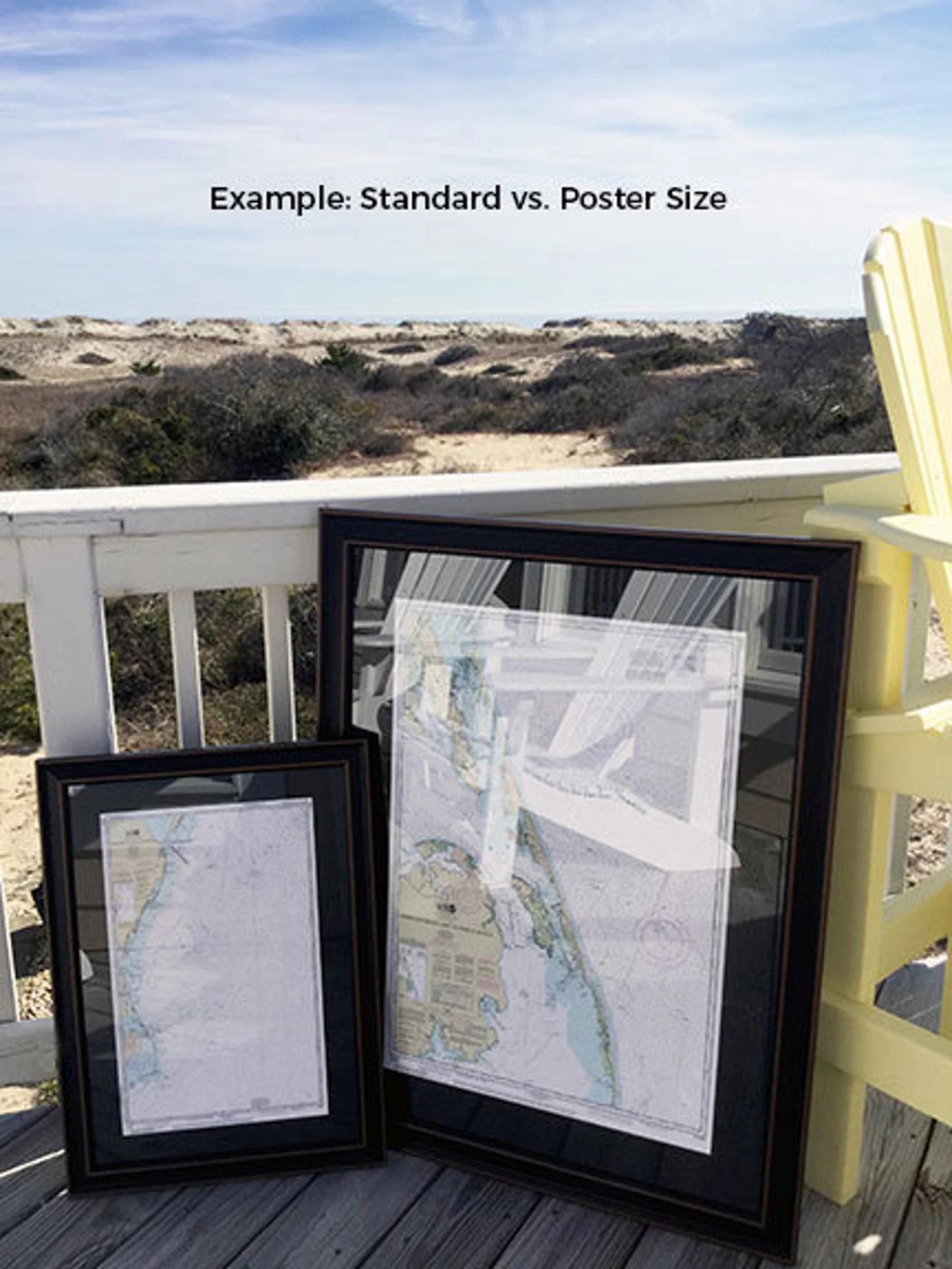
Choose from two frame sizes to suit your space:
- Standard size: approximately 17 1/4" W x 24" H
- Poster size: approximately 26" W x 36" H
If you have specific preferences for a different frame option, we’d love to hear from you. Feel free to share any sample photos to help us create the perfect piece that matches your vision.
*Important Shipping Note: Free ground shipping is available for orders shipped within the 48 contiguous states. We do not inflate shipping costs; however, due to the higher expenses associated with shipping to Alaska and Hawaii, please contact us for a custom shipping quote.
Share