Framed Nautical Charts
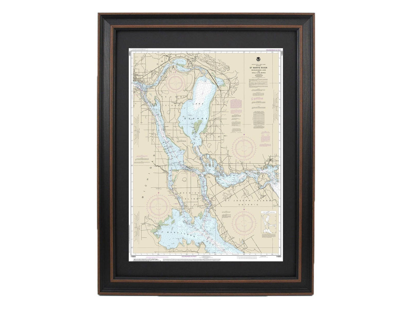
Framed Nautical Chart 14883 - Michigan's St. Marys River. NOAA 14883. Handmade in the USA.
Framed Nautical Chart 14883 - Michigan's St. Marys River. NOAA 14883. Handmade in the USA.
Couldn't load pickup availability
Discover the elegance of Michigan's St. Marys River with this stunning framed nautical map, meticulously crafted to showcase the waters from Munuscong Lake to Sault Ste. Marie. This official NOAA nautical chart highlights the breathtaking beauty of these waters, ensuring an authentic maritime experience in your home.
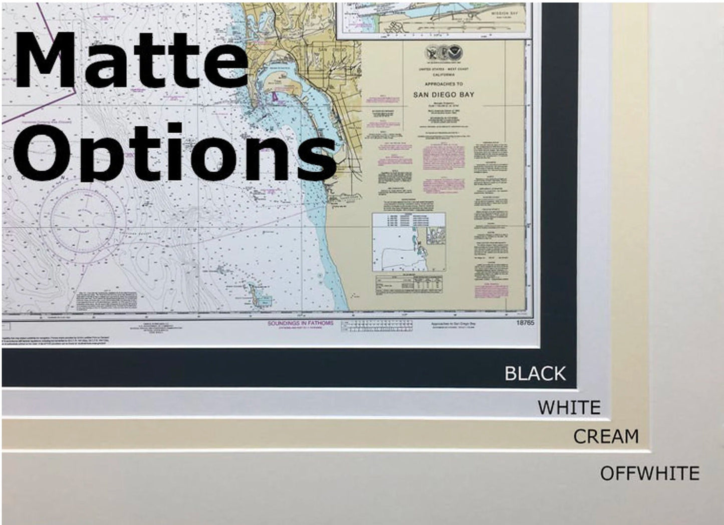
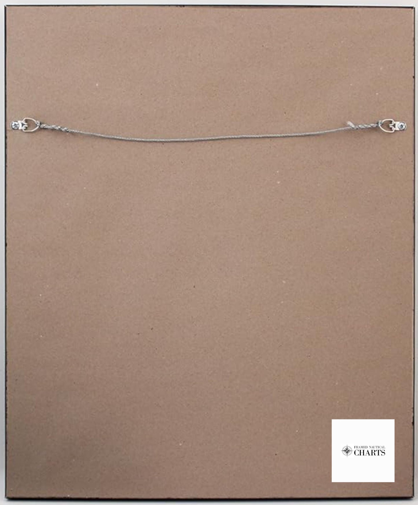
Each chart is custom handmade in the USA, reflecting the highest standards of craftsmanship. It is presented in a solid wood frame that enhances its aesthetic appeal. The map features a museum-quality print made from archival paper and inks, ensuring durability and vibrant colors. A black mat adds a touch of sophistication, while the glass front protects the artwork from dust and damage. The back is finished with a paper duster for a polished look, and a convenient wire hanger is included for easy installation.
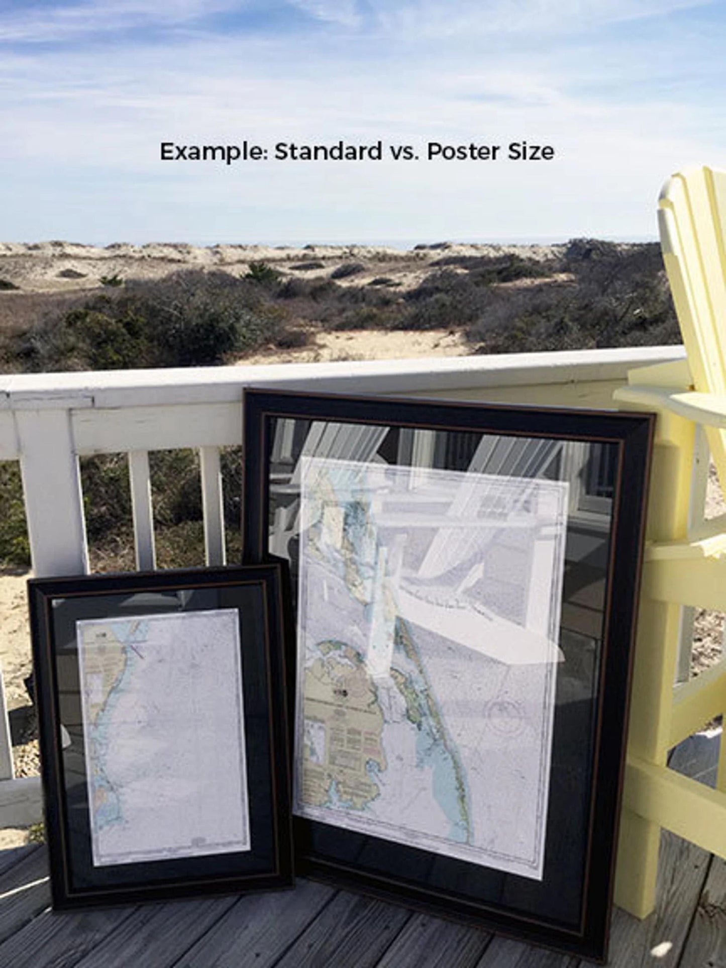
Available in two sizes, you can choose the perfect fit for your space:
- Standard Size: Outer frame dimensions are approximately 17 1/4" W x 24" H.
- Poster Size: Outer frame dimensions are approximately 26" W x 36" H.
If you're interested in a different frame option, please feel free to reach out with your specific requests. We welcome any sample photos you may have to help us create a piece that matches your vision.
*Important Shipping Note: We offer free ground shipping for orders within the 48 contiguous states. While we do not increase shipping costs, please contact us for custom shipping quotes for Alaska and Hawaii due to higher shipping rates.
Share