Framed Nautical Charts
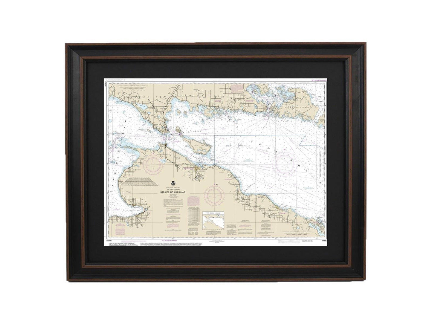
Framed Nautical Chart 14880 - Lake Huron, Straits of Mackinac. NOAA 14880. Handmade in the USA.
Framed Nautical Chart 14880 - Lake Huron, Straits of Mackinac. NOAA 14880. Handmade in the USA.
Couldn't load pickup availability
Discover the beauty of Lake Huron with this stunning Framed Nautical Chart of the Straits of Mackinac, officially produced by NOAA (National Oceanic and Atmospheric Administration). This exquisite nautical map intricately details the serene waters of Michigan, showcasing the region’s natural charm. Each chart is meticulously handmade in the USA, reflecting exceptional craftsmanship and attention to detail.
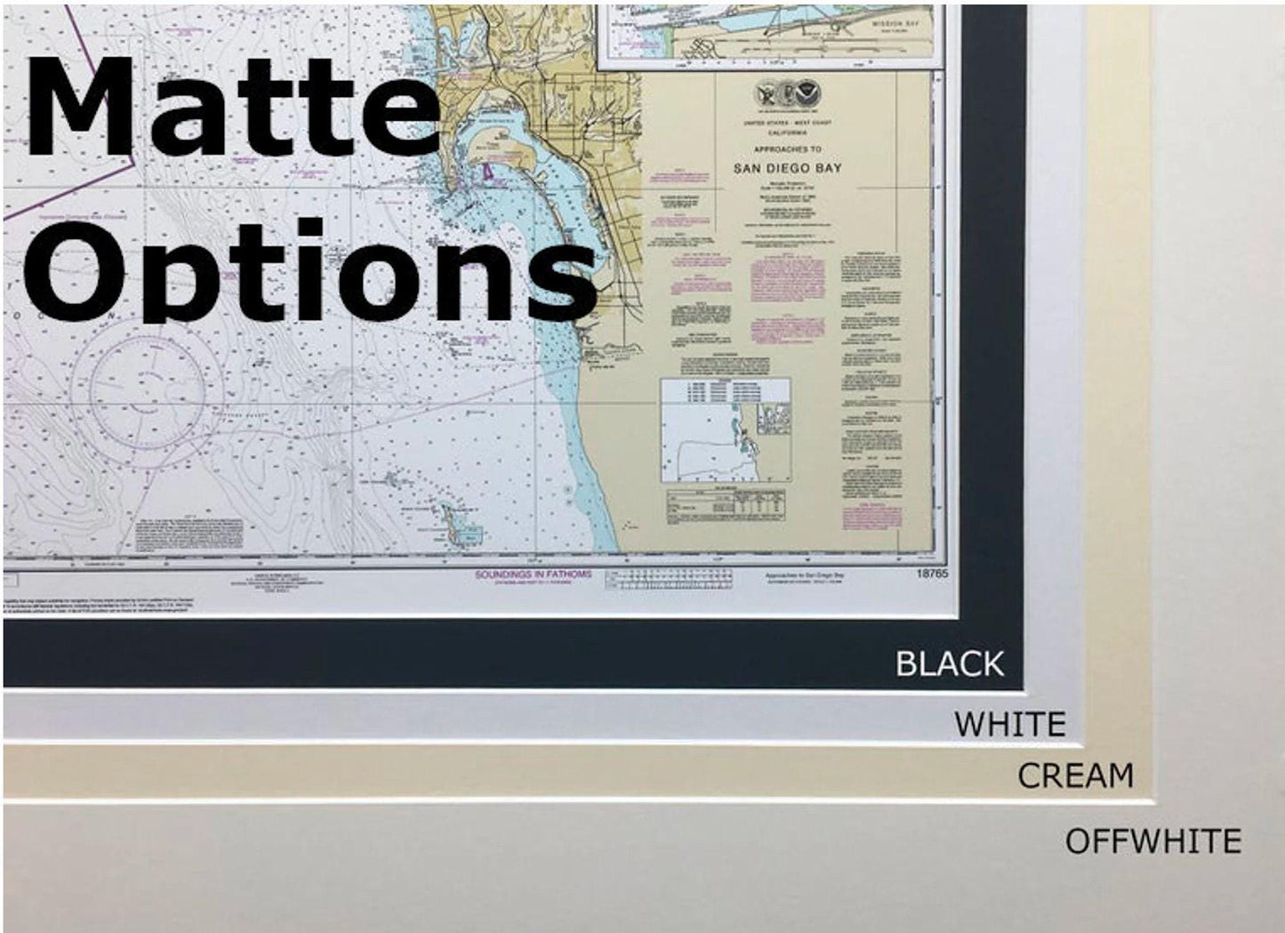
Presented in a solid wood frame, this chart features a museum-quality print created with archival paper and inks, ensuring durability and vibrancy. The design is complemented by a sleek black mat and protected by a glass front, allowing you to admire the map while keeping it safe from dust and damage. The back of the frame is finished with a paper duster for a polished look, and a convenient wire hanger is included for easy installation.
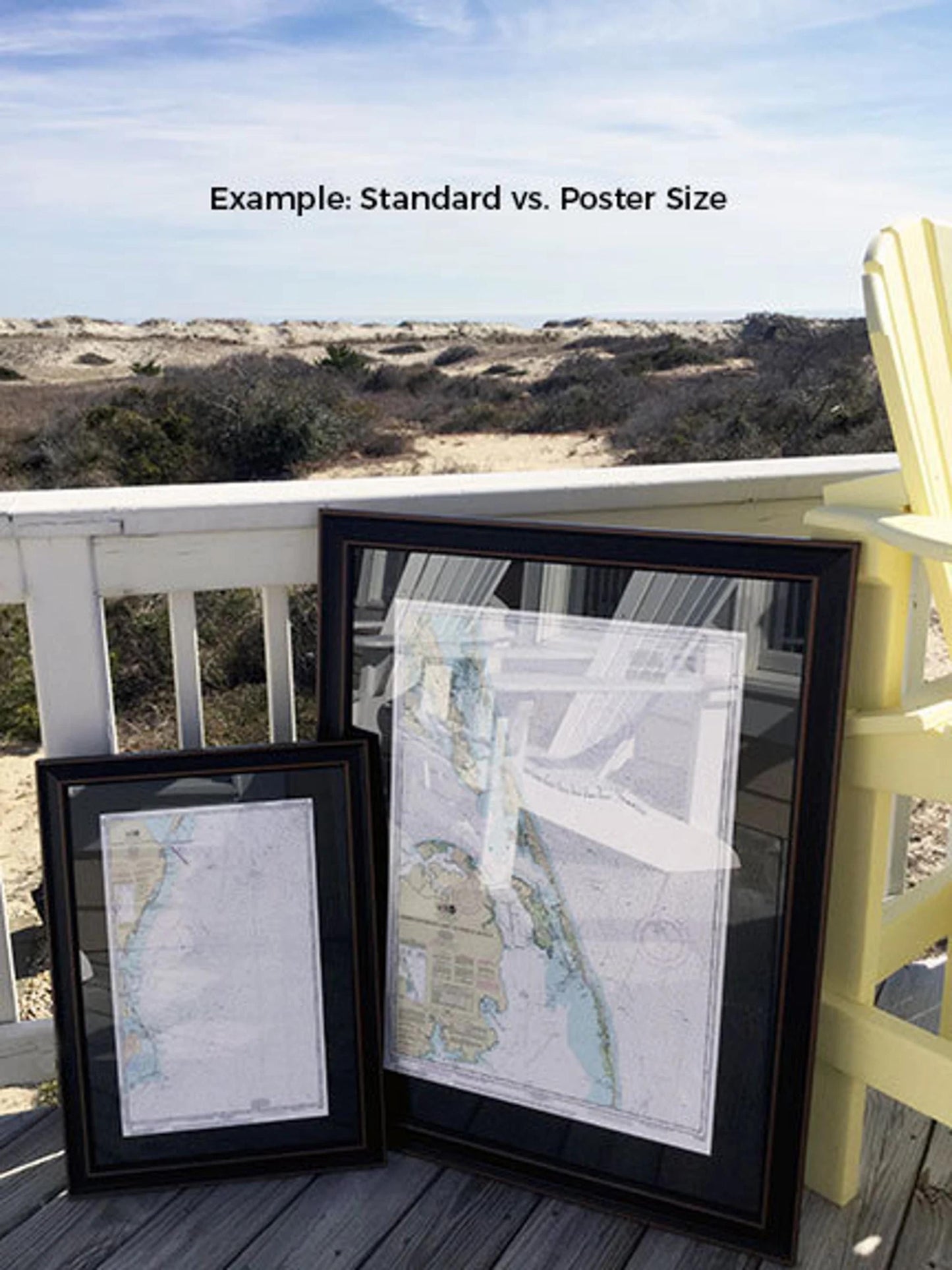
Our framed charts are available in two sizes to suit your space:
- Standard size with outer frame dimensions of approximately 24" W x 18" H
- Poster size with outer frame dimensions of approximately 36" W x 27" H
If you have a specific frame style in mind that you'd like to discuss, please don't hesitate to reach out. We welcome any sample photos or ideas to help bring your vision to life.
*Important Shipping Note: We offer free ground shipping for orders shipped within the 48 contiguous states. While we do not apply additional shipping fees, please be aware that shipping costs to Alaska and Hawaii can be higher. Feel free to contact us for a customized shipping quote.
Share