-
Framed Nautical Chart 13230 - Buzzards Bay, MA. NOAA 13230. Handmade in the USA.
Regular price From $149.99 USDRegular priceUnit price per$0.00 USDSale price From $149.99 USD -
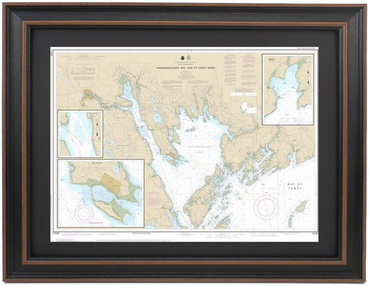
Framed Nautical Chart 13398 - Passamaquoddy Bay and St Croix River, Maine. NOAA 13398. Handmade in the USA.
Regular price From $149.99 USDRegular priceUnit price per$0.00 USDSale price From $149.99 USD -
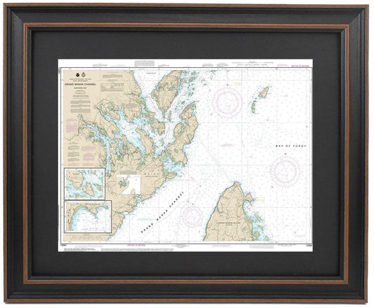
Framed Nautical Chart 13394 - North Grand Manan Channel, Maine. NOAA 13394. Handmade in the USA.
Regular price From $149.99 USDRegular priceUnit price per$0.00 USDSale price From $149.99 USD -
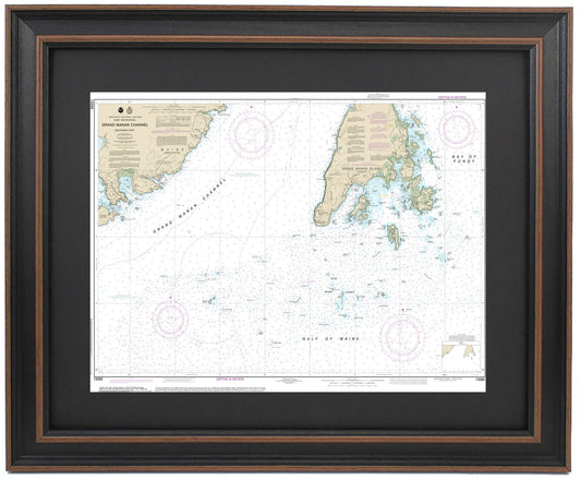
Framed Nautical Chart 13392 - Grand Manan Channel, Maine. NOAA 13392. Handmade in the USA.
Regular price From $149.99 USDRegular priceUnit price per$0.00 USDSale price From $149.99 USD -
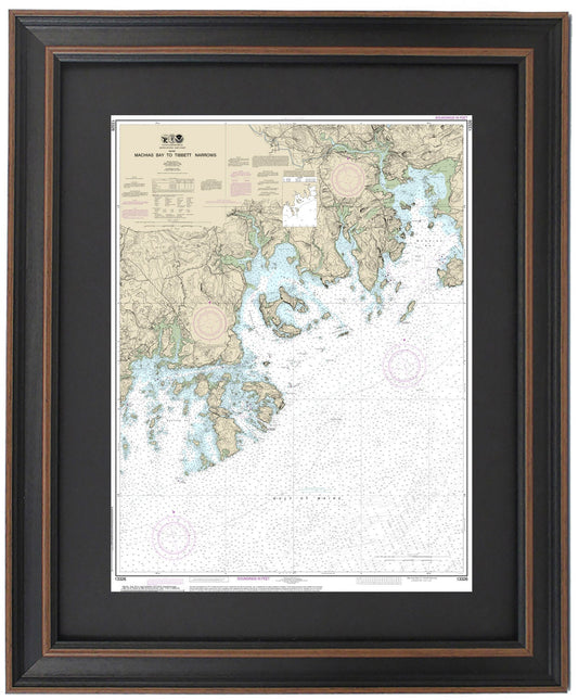
Framed Nautical Chart 13326 - Machais Bay to Tibbett Narrows, Maine. NOAA 13326. Handmade in the USA.
Regular price From $149.99 USDRegular priceUnit price per$0.00 USDSale price From $149.99 USD -
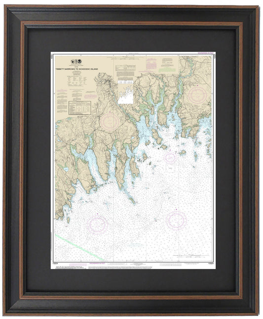
Framed Nautical Chart 13324 - Tibbett Narrows to Schoodic Island, Maine. NOAA 13324. Handmade in the USA.
Regular price From $149.99 USDRegular priceUnit price per$0.00 USDSale price From $149.99 USD -
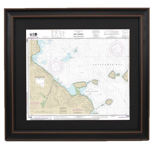
Framed Nautical Chart 13323 - Bar Harbor. Mount Desert Island. NOAA 13323. Handmade in the USA.
Regular price From $149.99 USDRegular priceUnit price per$0.00 USDSale price From $149.99 USD -
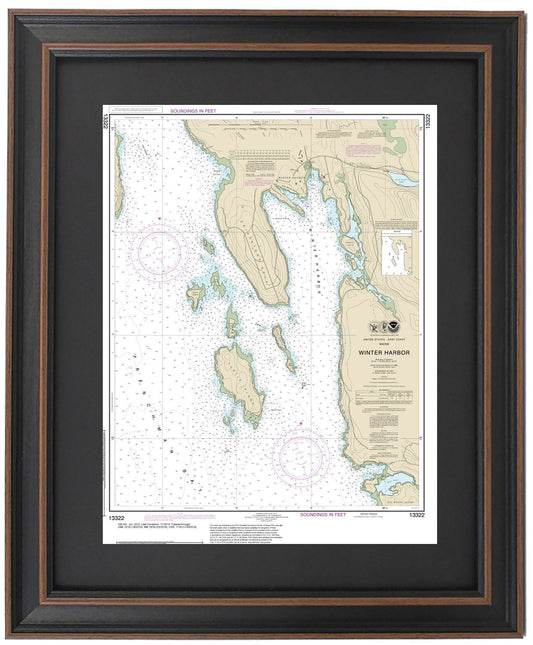
Framed Nautical Chart 13322 - Winter Harbor, Maine. NOAA 13322. Handmade in the USA.
Regular price From $149.99 USDRegular priceUnit price per$0.00 USDSale price From $149.99 USD -
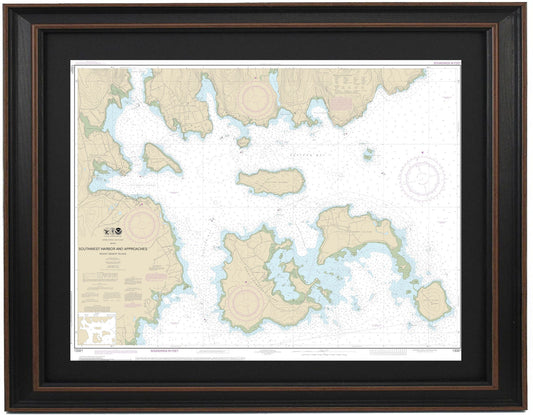
Framed Nautical Chart 13321 - Southwest Harbor and Approaches NOAA 13321. Handmade in the USA.
Regular price From $149.99 USDRegular priceUnit price per$0.00 USDSale price From $149.99 USD -
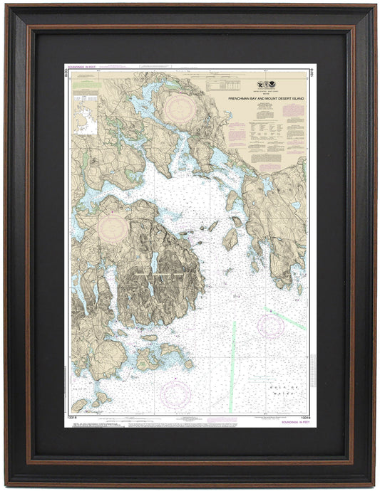
Framed Nautical Chart 13318 - Frenchman Bay. Mount Desert Island, Acadia National Park, and Bar Harbor, Maine. NOAA 13318.
Regular price From $149.99 USDRegular priceUnit price per$0.00 USDSale price From $149.99 USD -
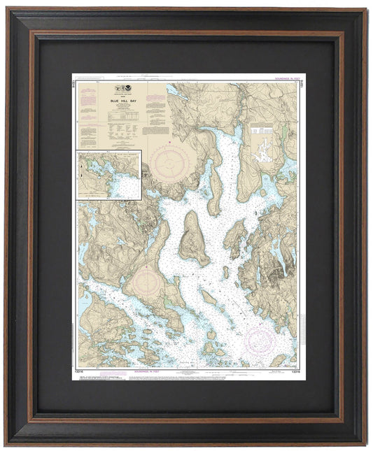
Framed Nautical Chart 13316 - Blue Hill Bay, Maine. NOAA 13316. Handmade in the USA.
Regular price From $149.99 USDRegular priceUnit price per$0.00 USDSale price From $149.99 USD -
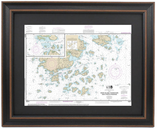
Framed Nautical Chart 13315 - Deer Island Thorofare & Casco Passage, Maine. NOAA 13315. Handmade in the USA.
Regular price From $149.99 USDRegular priceUnit price per$0.00 USDSale price From $149.99 USD -
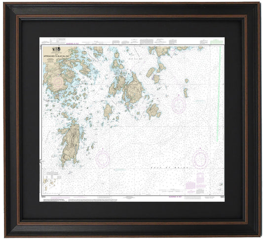
Framed Nautical Chart 13313 - Approaches to Blue Hill Bay, Maine. NOAA 13313. Handmade in the USA.
Regular price From $149.99 USDRegular priceUnit price per$0.00 USDSale price From $149.99 USD -
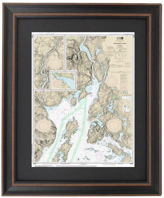
Framed Nautical Chart 13309 - Penobscot River. Islesboro Island, Belfast Harbor, and Bangor, Maine. NOAA 13309. Handmade in the USA.
Regular price From $149.99 USDRegular priceUnit price per$0.00 USDSale price From $149.99 USD -
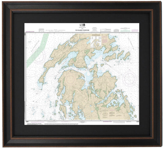
Framed Nautical Chart 13308 - Fox Islands. Vinalhaven, North Haven, Penobscot, and Leadbetter Islands. NOAA 13308. Handmade in the USA.
Regular price From $149.99 USDRegular priceUnit price per$0.00 USDSale price From $149.99 USD -
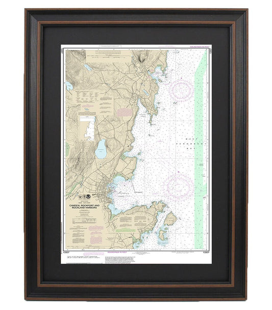
Framed Nautical Chart 13307 - Camden, Rockport and Rockland Harbors. NOAA 13307. Handmade in the USA.
Regular price From $149.99 USDRegular priceUnit price per$0.00 USDSale price From $149.99 USD