Framed Nautical Charts
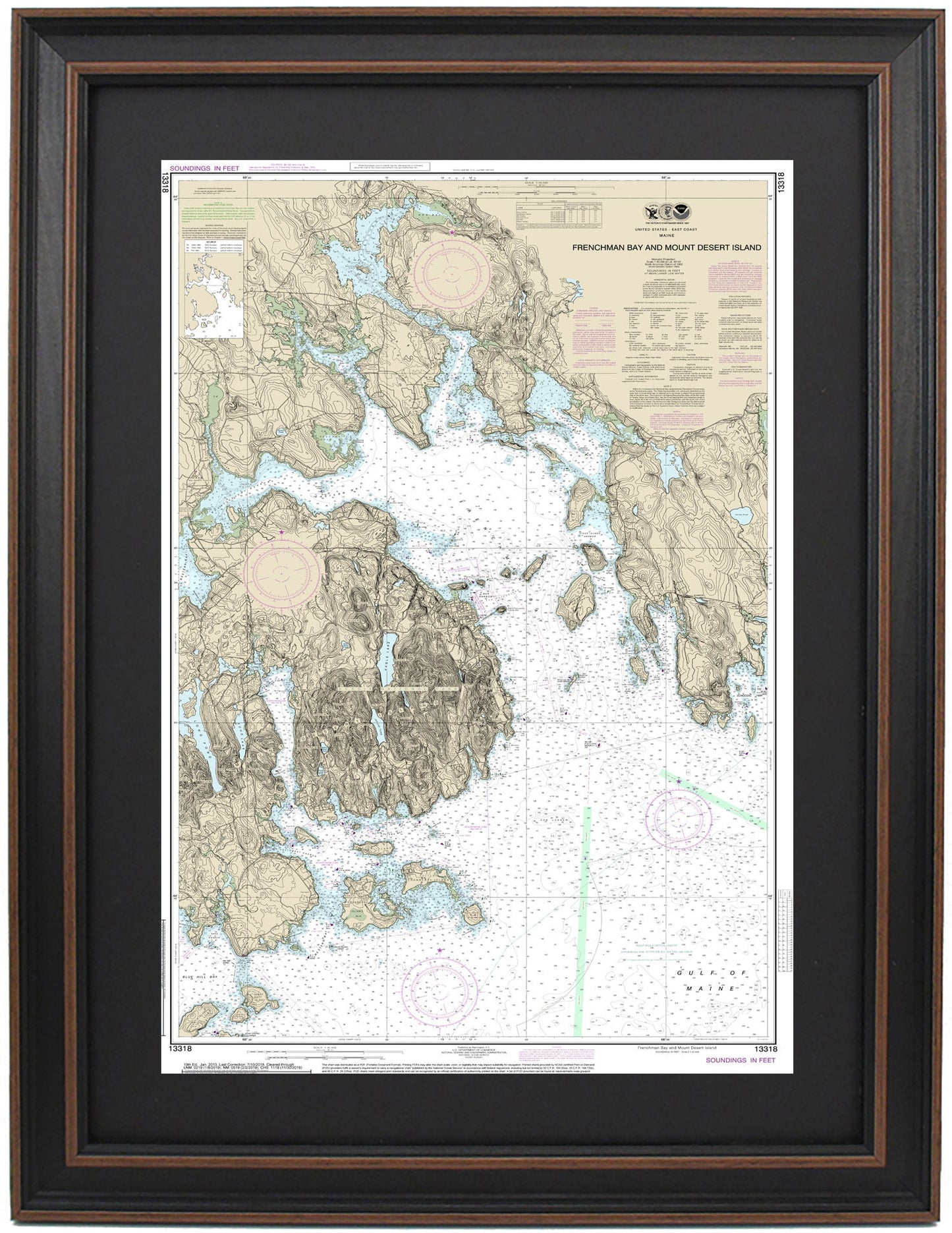
Framed Nautical Chart 13318 - Frenchman Bay. Mount Desert Island, Acadia National Park, and Bar Harbor, Maine. NOAA 13318.
Framed Nautical Chart 13318 - Frenchman Bay. Mount Desert Island, Acadia National Park, and Bar Harbor, Maine. NOAA 13318.
Couldn't load pickup availability
Discover the beauty of Frenchman Bay and the stunning surroundings of Mount Desert Island, Acadia National Park, and Bar Harbor, Maine, with this exquisite Framed Nautical Map (NOAA Chart 13318). This detailed nautical chart captures the intricate waterways of Frenchman Bay and emphasizes the charm of Maine's picturesque coastline, including Casco Bay and various enchanting islands.
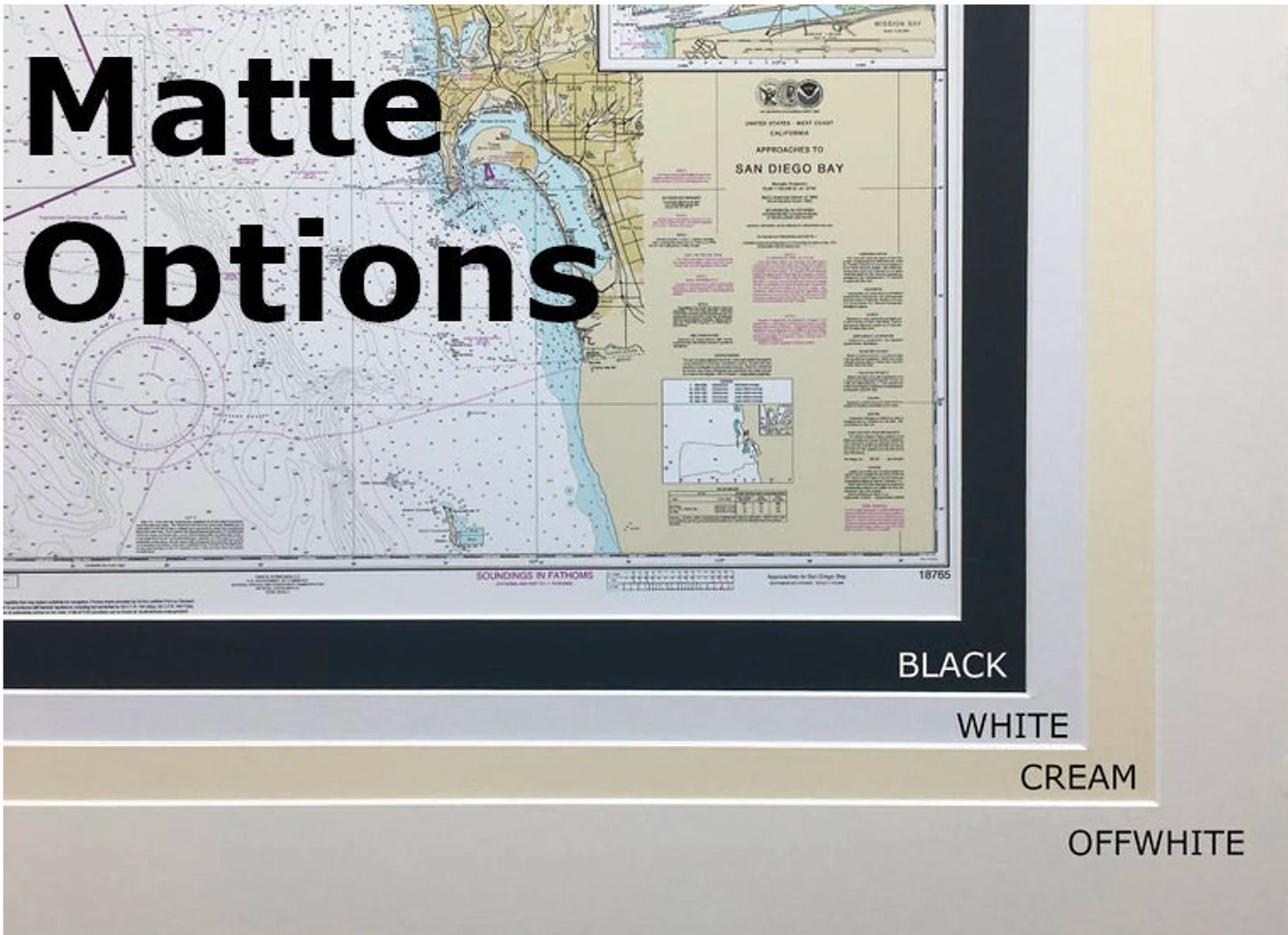
Each Framed Nautical Chart is meticulously handcrafted in the USA, showcasing exceptional craftsmanship. The map is elegantly presented in a solid wood frame and features a museum-quality print made from archival paper and inks, ensuring longevity and vibrancy. The design includes a classic black mat and is protected by a glass front, enhancing its visual appeal. The back is finished with a paper duster, and a wire hanger is attached for easy installation.
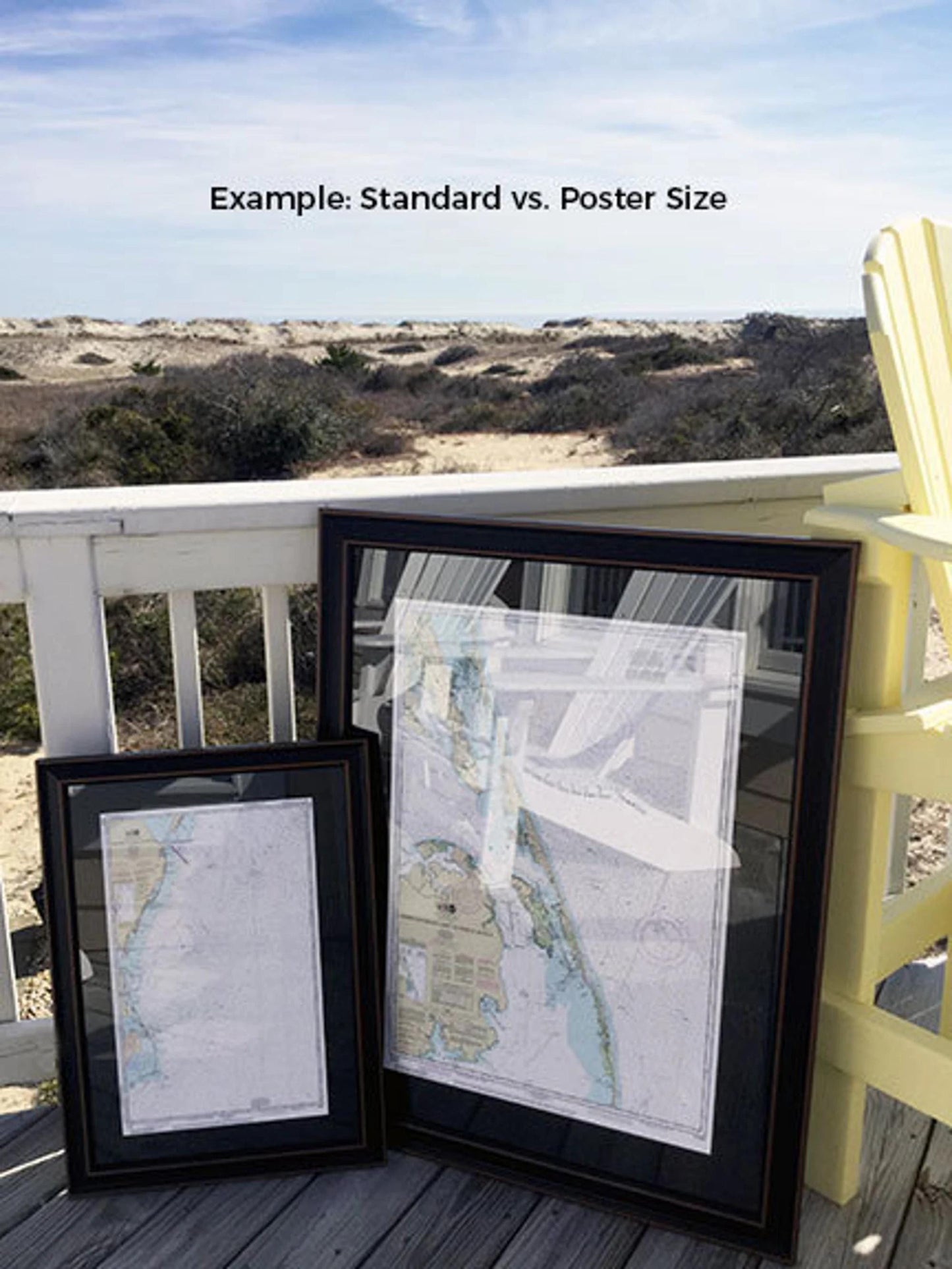
This framed chart is available in two sizes:
- Standard size with outer frame dimensions of approximately 24" H x 15" W.
- Poster size with outer frame dimensions of approximately 36" H x 22 1/4" W.
If you desire a different frame option, please don’t hesitate to reach out with your request. We are more than happy to accommodate your vision and welcome any sample photos you’d like to share.
*Important Shipping Note: Free ground shipping is available for shipments within the 48 contiguous states. We do not inflate shipping costs; however, due to the higher shipping rates to Alaska and Hawaii, please contact us for custom shipping quotes.
Share