Framed Nautical Charts
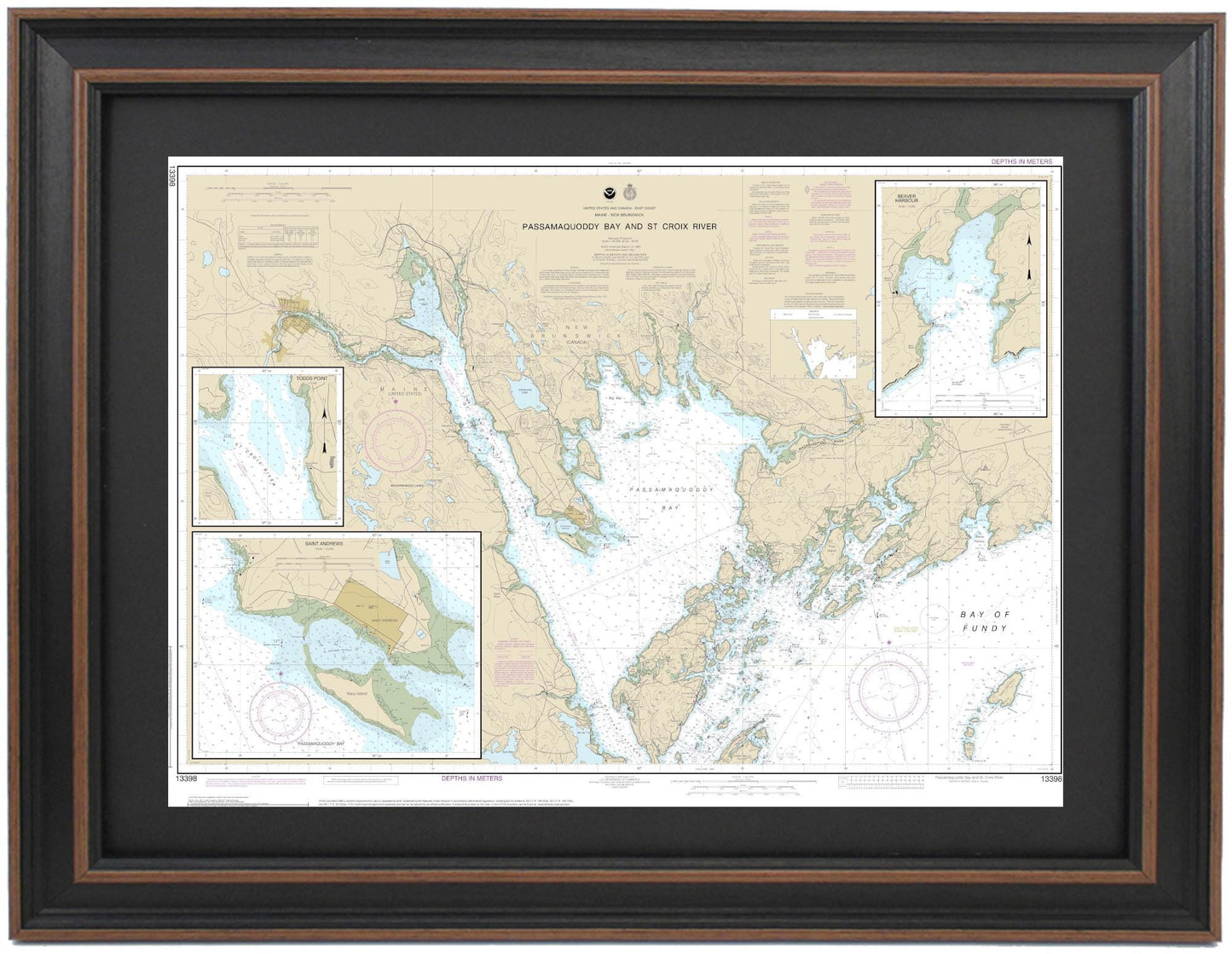
Framed Nautical Chart 13398 - Passamaquoddy Bay and St Croix River, Maine. NOAA 13398. Handmade in the USA.
Framed Nautical Chart 13398 - Passamaquoddy Bay and St Croix River, Maine. NOAA 13398. Handmade in the USA.
Couldn't load pickup availability
Discover the beauty of the waterways with our Framed Nautical Chart, showcasing the stunning Passamaquoddy Bay and St. Croix River in Maine. This detailed NOAA chart captures the intricate channels of Northern Grand Manan, as well as parts of the Bay of Fundy, highlighting the nautical border between Maine and the Canadian coastlines.
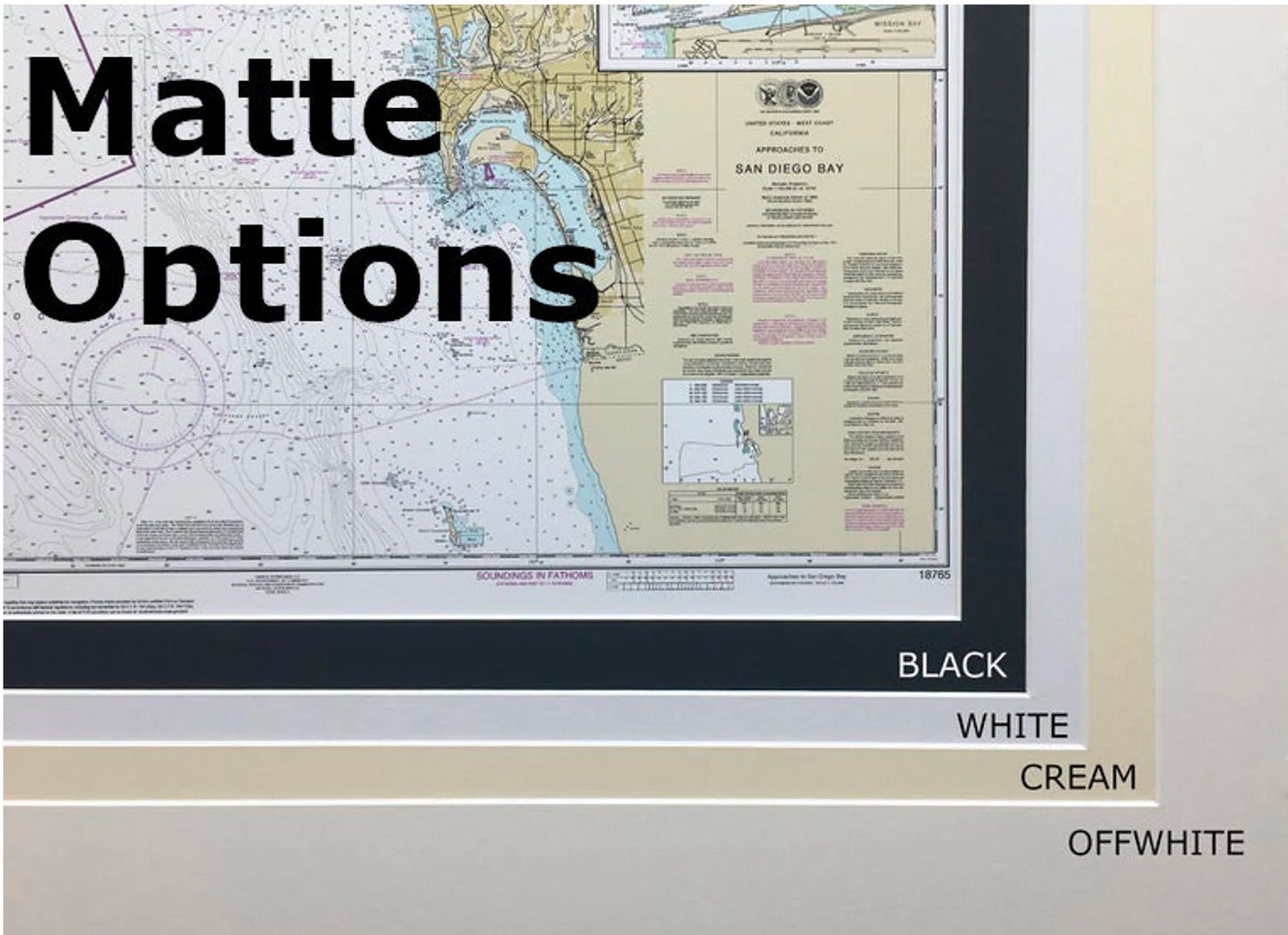
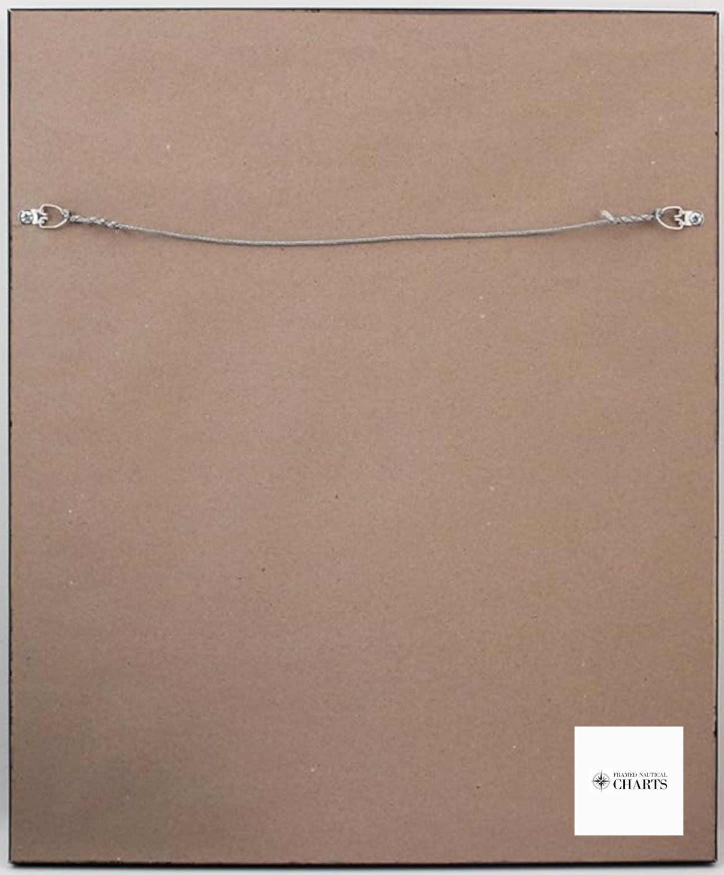
Handmade in the USA, each framed nautical map reflects exceptional craftsmanship. The chart is elegantly presented in a solid wood frame with a museum-quality print, utilizing archival paper and inks for durability and clarity. It features a black mat and is protected by a glass front for a refined finish. The back is neatly finished with a paper duster for a polished look, and a wire hanger is included for easy installation.
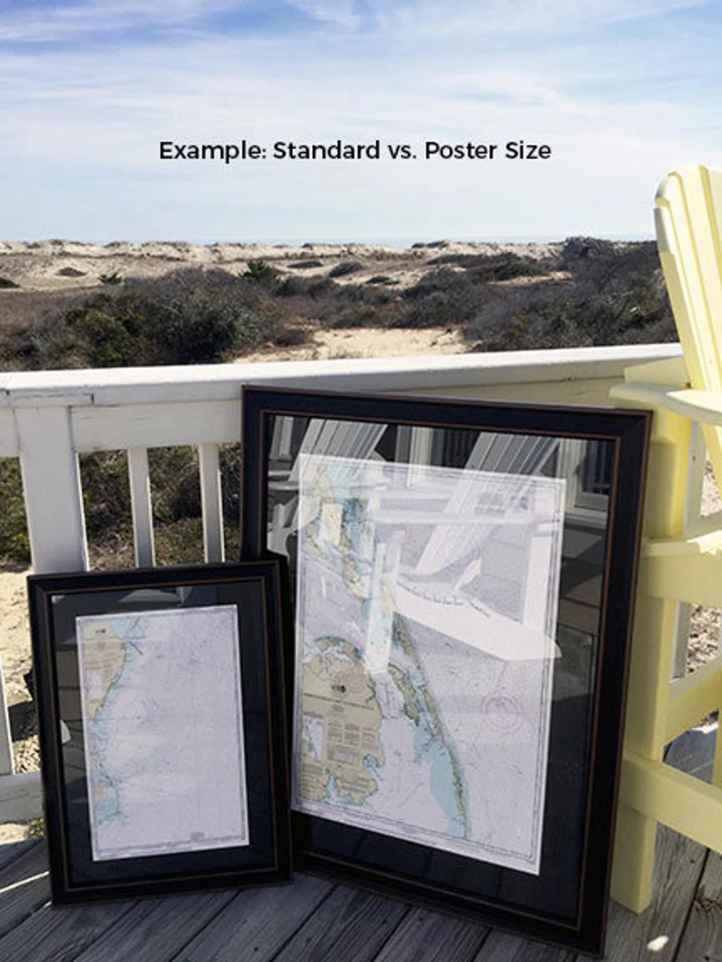
Available in two sizes, our NOAA Nautical Chart 13398 comes in:
- Standard size: Outer frame dimensions of approximately 24" W x 17.5" H.
- Poster size: Outer frame dimensions of approximately 36" W x 26" H.
If you're looking for a specific frame option, feel free to reach out with your request; we’re happy to accommodate customizations and welcome any sample photos you may have to help us bring your vision to life.
*Important Shipping Note: We offer free ground shipping to the 48 contiguous states. Please contact us for custom shipping quotes for Alaska and Hawaii, as shipping costs may vary. We do not increase shipping fees beyond our actual costs. Thank you for considering our beautifully crafted framed nautical chart, a perfect addition to any home or nautical-themed decor.
Share