Framed Nautical Charts
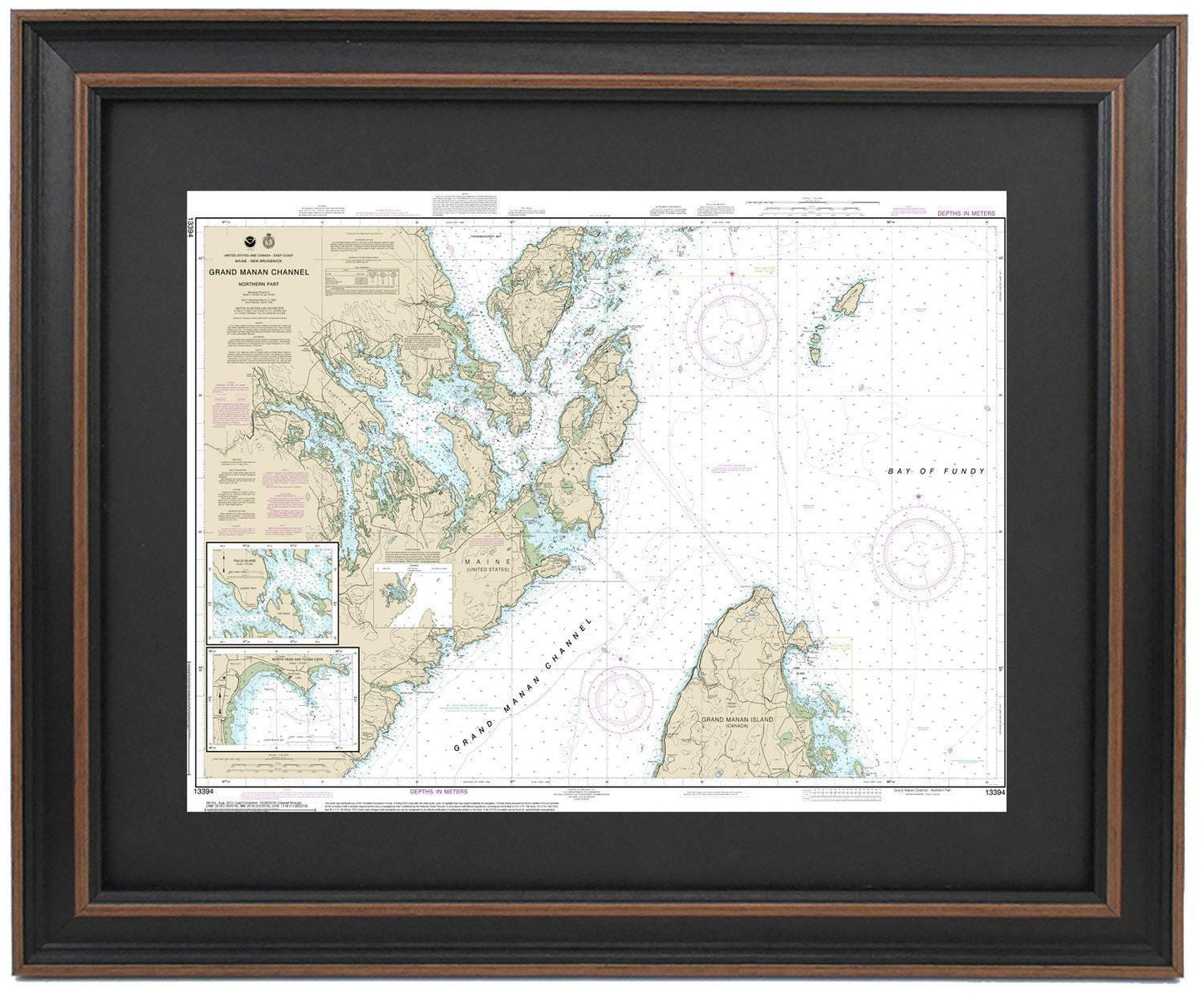
Framed Nautical Chart 13394 - North Grand Manan Channel, Maine. NOAA 13394. Handmade in the USA.
Framed Nautical Chart 13394 - North Grand Manan Channel, Maine. NOAA 13394. Handmade in the USA.
Couldn't load pickup availability
Discover the beauty of the North Grand Manan Channel in Maine with our exquisite framed nautical chart, NOAA 13394. This detailed map showcases the intricate waterways of the Northern Grand Manan Channel, highlighting the stunning Gulf of Maine and parts of the Bay of Fundy. As an officially licensed NOAA Nautical Chart, it beautifully illustrates the maritime border between the picturesque coastlines of Maine and Canada.
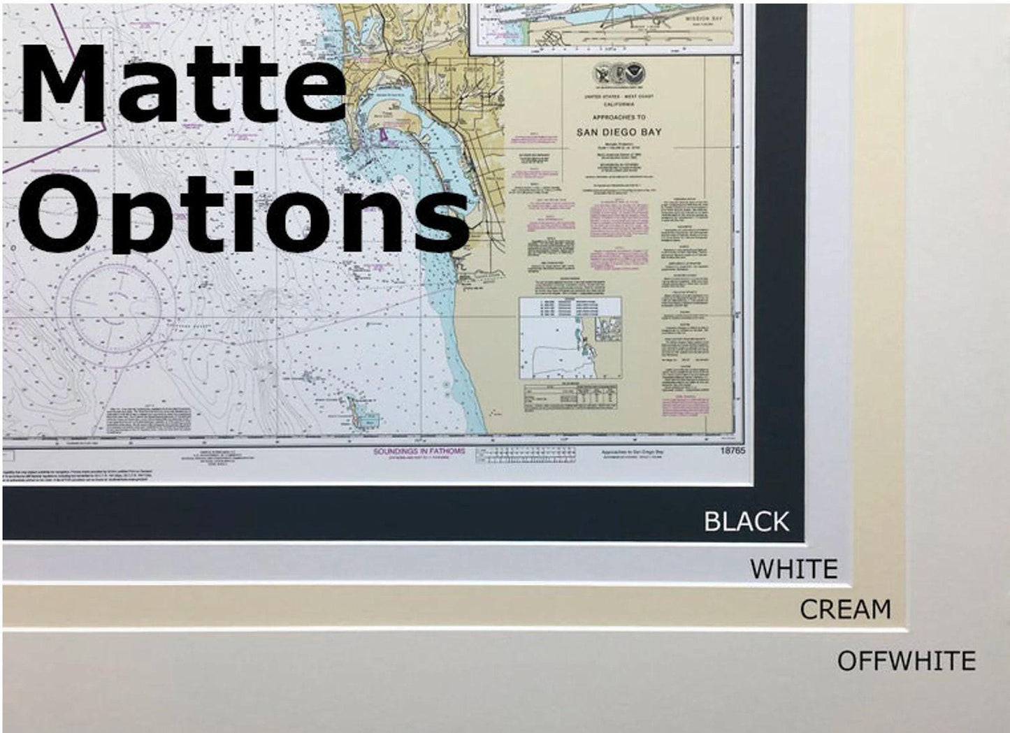
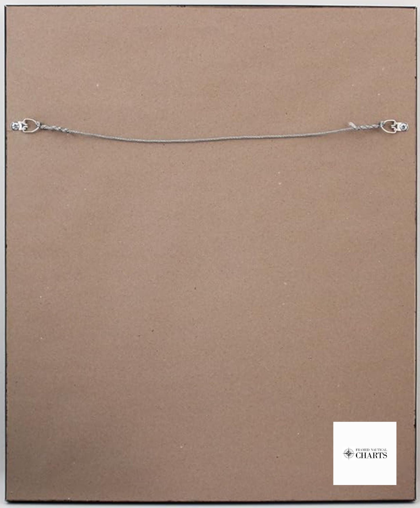
Each framed nautical map is meticulously handmade in the USA, ensuring exceptional craftsmanship and quality. The chart is elegantly displayed in a solid wood frame, featuring a museum-quality print crafted from archival paper and inks for durability and vibrant visuals. A stylish black mat enhances the presentation, and the entire piece is safely protected by a glass front. The back is finished with a paper duster for a clean look, and a wire hanger is included for effortless installation.
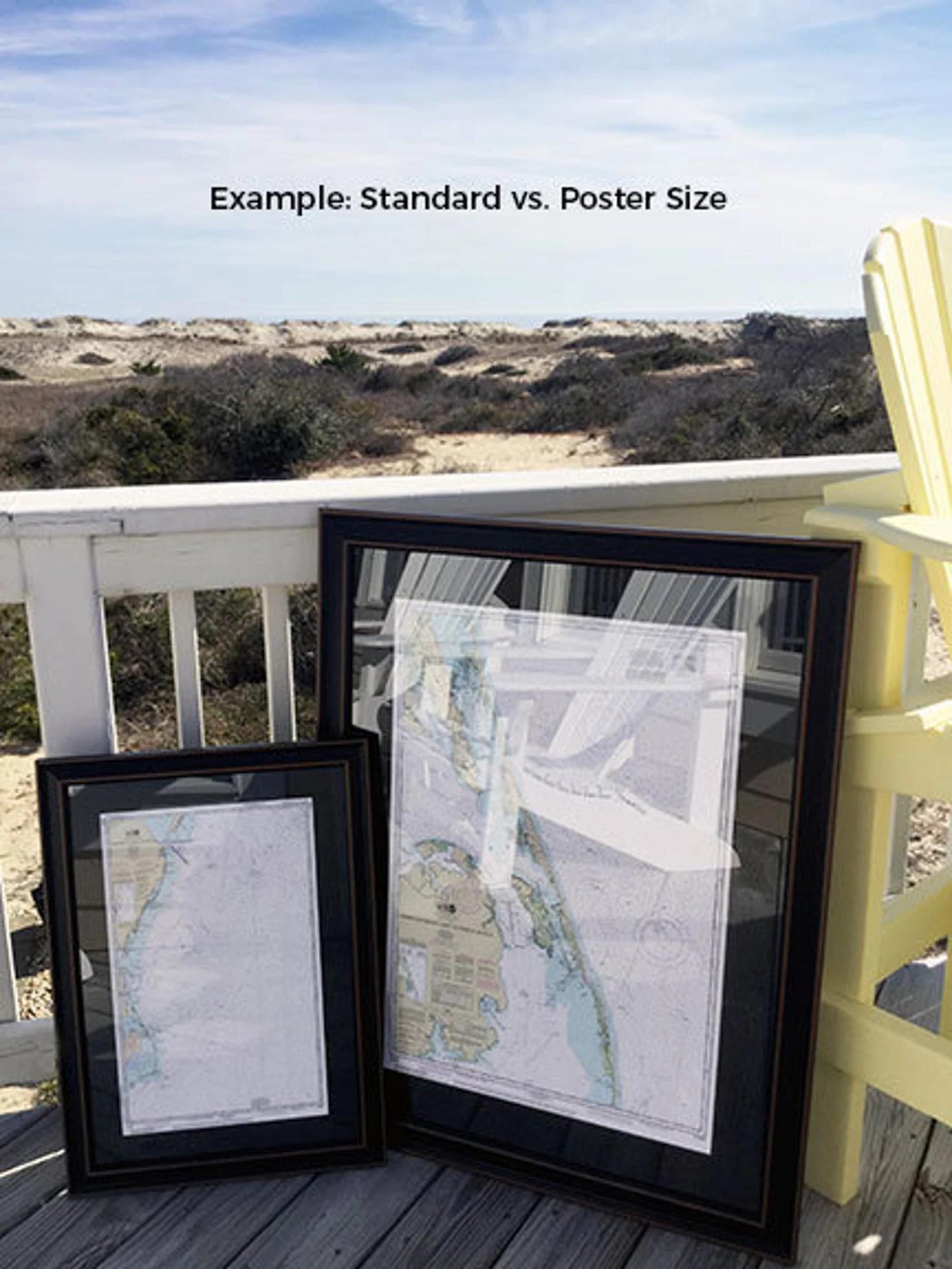
Available in two sizes, you can choose the perfect fit for your space:
- Standard size: outer frame dimensions approximately 24" W x 17 3/4" H
- Poster size: outer frame dimensions approximately 36" W x 26 1/2" H
If you are interested in exploring different frame options, please don’t hesitate to reach out with your requests. We are happy to accommodate any sample photos you may have to help us create your ideal piece.
*Important Shipping Note: Free ground shipping is available for orders within the 48 contiguous states. We are committed to transparency in shipping costs; however, please contact us for custom shipping quotes for Alaska and Hawaii due to higher shipping rates.
Share