Framed Nautical Charts
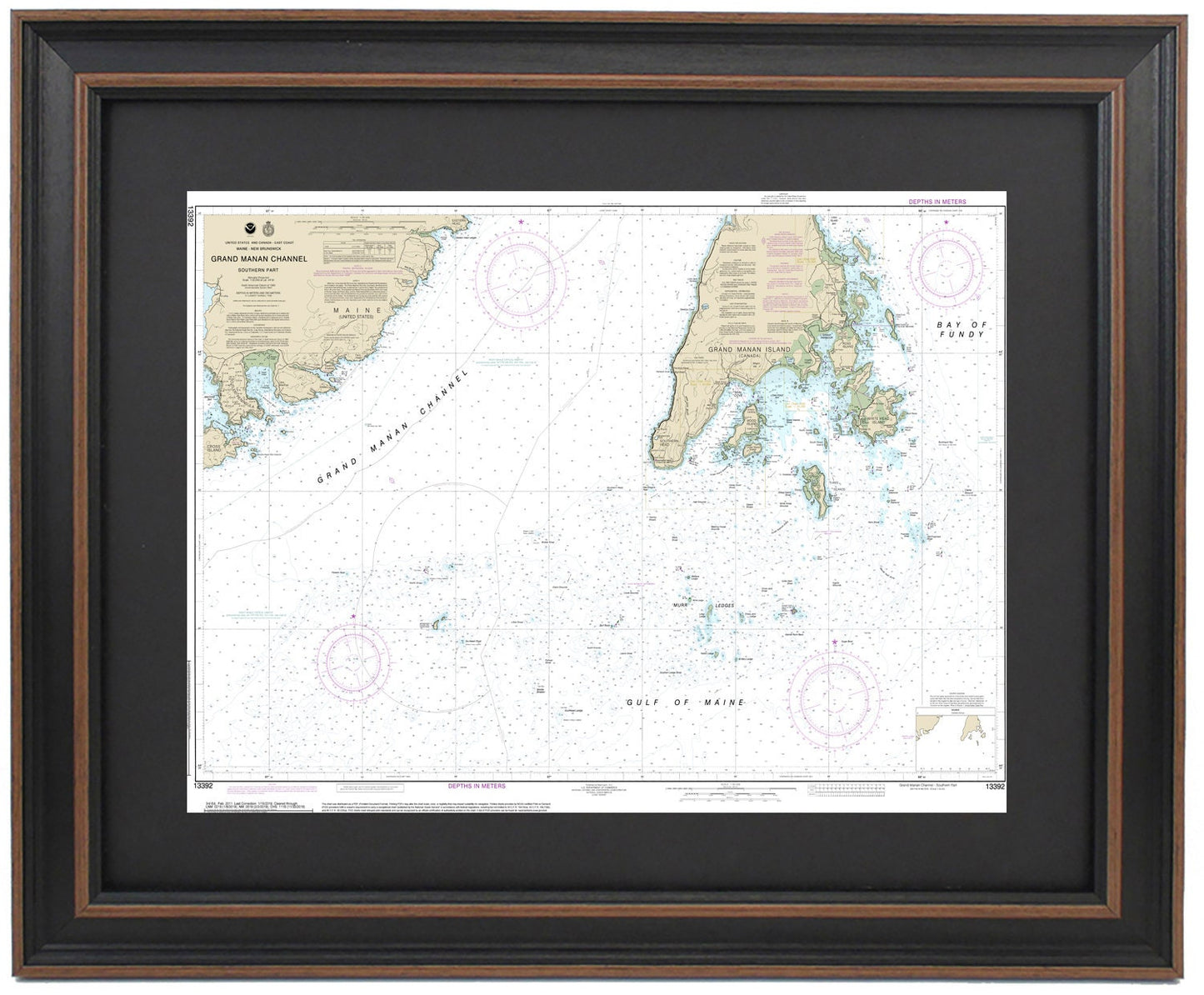
Framed Nautical Chart 13392 - Grand Manan Channel, Maine. NOAA 13392. Handmade in the USA.
Framed Nautical Chart 13392 - Grand Manan Channel, Maine. NOAA 13392. Handmade in the USA.
Couldn't load pickup availability
Discover the beauty of the Grand Manan Channel, Maine, with this exquisite Framed Nautical Chart 13392, handmade in the USA. This detailed nautical map showcases the stunning waterways surrounding Canada’s Grand Manan Island, encompassing the Gulf of Maine and parts of the Bay of Fundy. As an official NOAA Nautical Chart, it provides an accurate depiction of these picturesque waters along the nautical border between Maine and Canada.
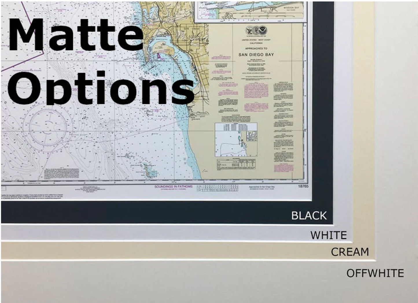
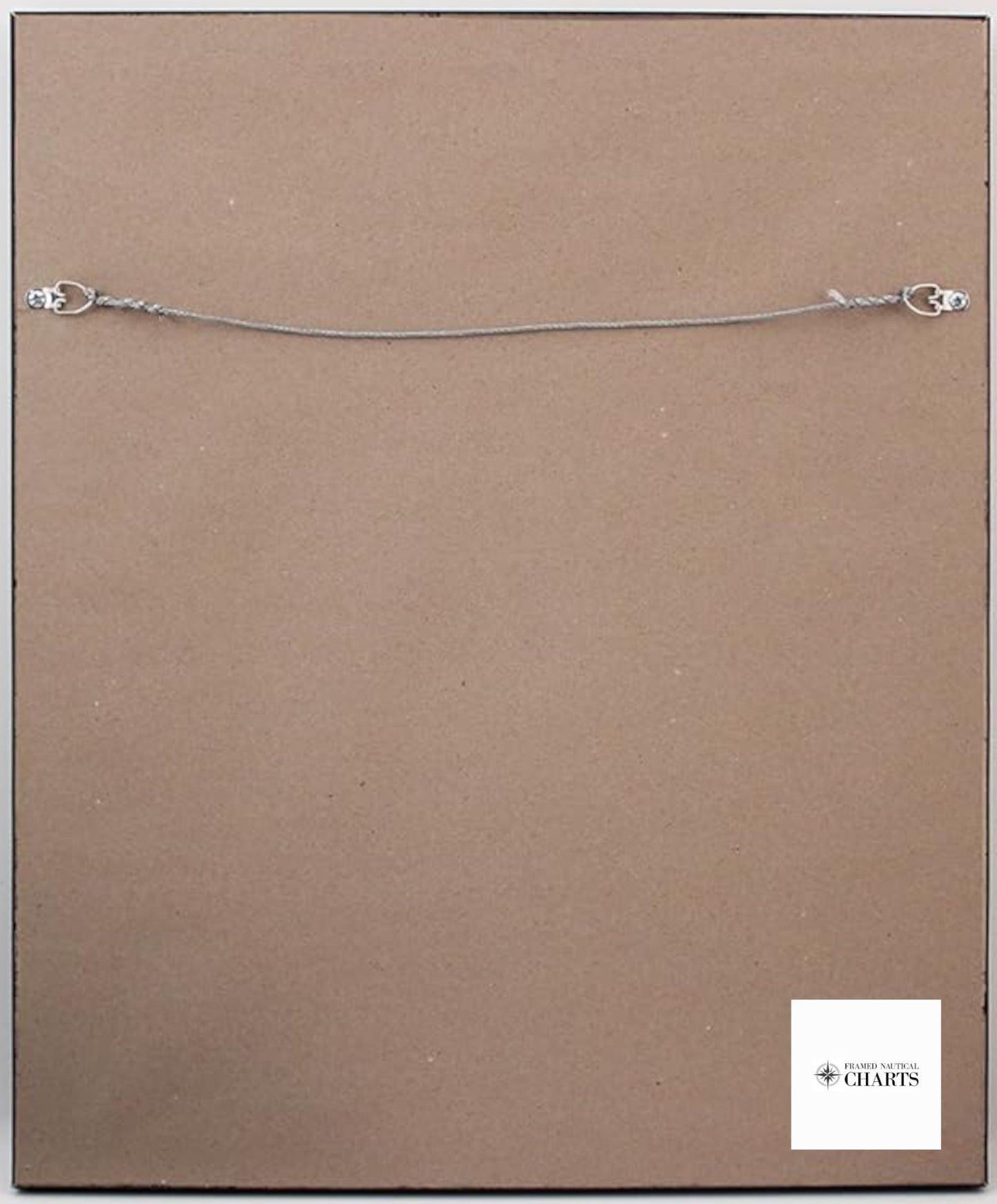
Each chart is custom-made to reflect the highest standards of craftsmanship. It comes framed in solid wood and features a museum-quality print crafted from archival paper and inks to ensure durability. This beautiful piece is enhanced with a black mat and protected by a glass front, making it a striking addition to any space. The back is neatly finished with a paper duster, and a wire hanger is included for easy installation.
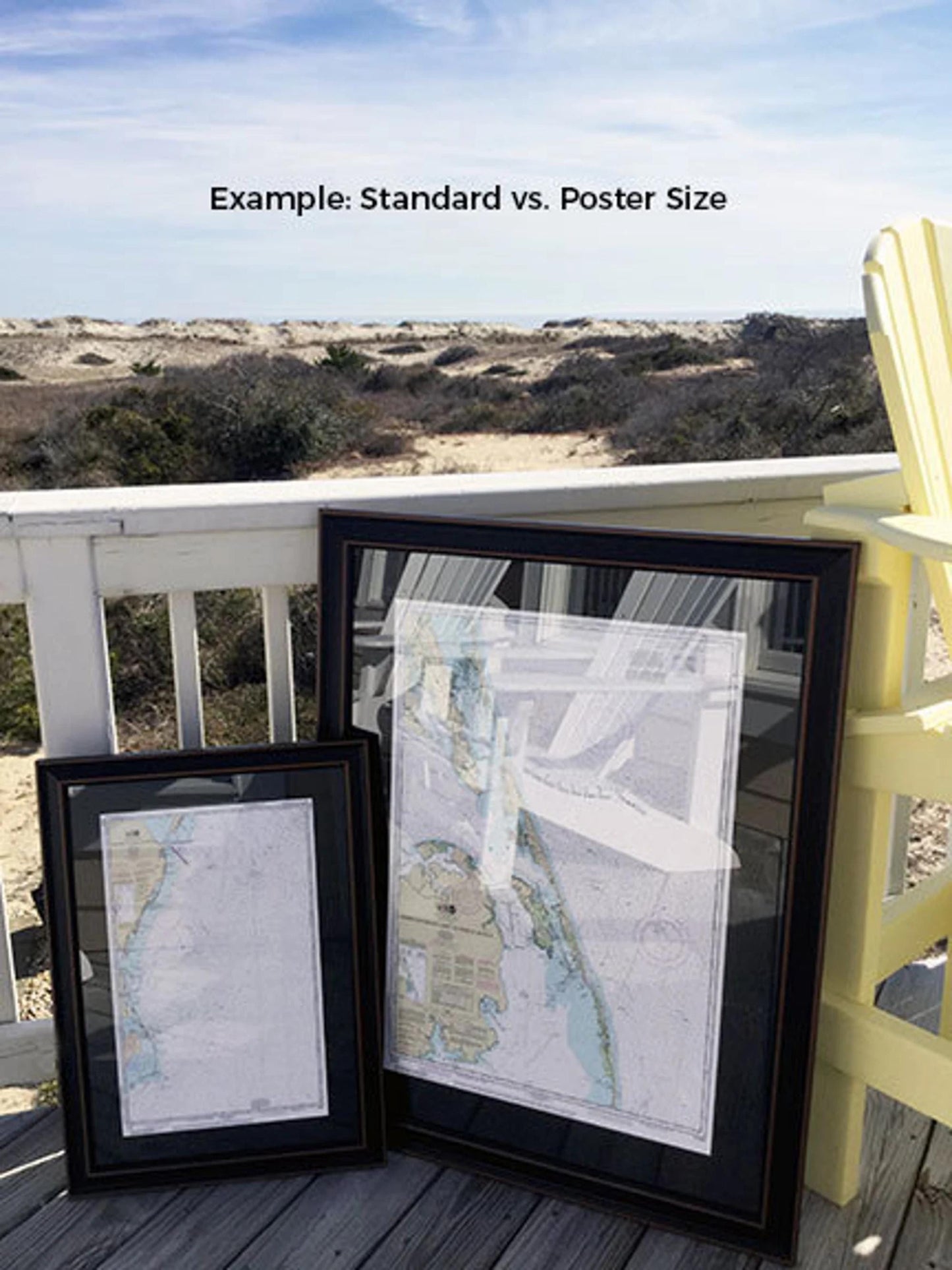
Available in two sizes:
-standard size with outer frame dimensions of approximately 24" W x 17 1/4" H
-poster size measuring approximately 36" W x 25 3/4" H.
If you have a specific framing request in mind, please feel free to reach out to us. We welcome any sample photos you may have to help us create a piece that perfectly matches your vision.
*Important Shipping Note: Free ground shipping is available for shipments to the 48 contiguous states. We do not add additional shipping costs, but due to the high expense of shipping to Alaska and Hawaii, please contact us for a custom shipping quote.
Share