Framed Nautical Charts
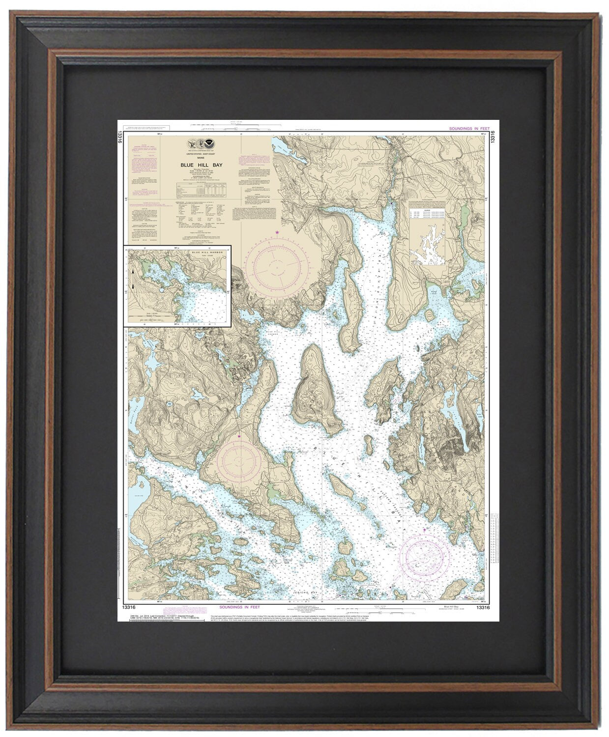
Framed Nautical Chart 13316 - Blue Hill Bay, Maine. NOAA 13316. Handmade in the USA.
Framed Nautical Chart 13316 - Blue Hill Bay, Maine. NOAA 13316. Handmade in the USA.
Couldn't load pickup availability
Discover the beauty of Blue Hill Bay with our handcrafted Framed Nautical Chart (NOAA 13316), showcasing the intricate waterways surrounding Deer Isle, Mount Desert Island, and various stunning Maine islands. This official NOAA Nautical Chart expertly highlights the picturesque coastline of Blue Hill Bay and Blue Hill Harbor, making it a perfect addition for boating enthusiasts and coastal decor lovers alike.
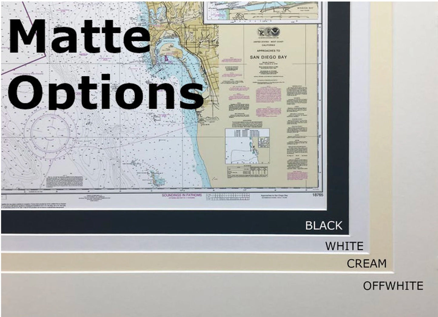
Each chart is meticulously handmade in the USA, exemplifying exceptional craftsmanship. The nautical map is presented in a solid wood frame that enhances its beauty, featuring a museum-quality print produced on archival paper with long-lasting inks. To elevate its sophistication, the chart is complemented with a black mat and protected by a glass front. The back is finished with a paper duster for a polished look, and a wire hanger is included for effortless mounting.
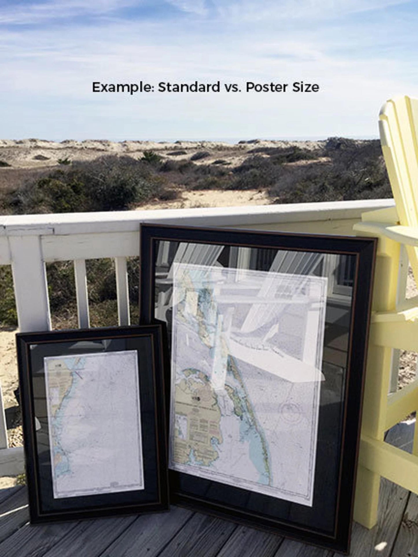
Our framed charts are available in two sizes to suit your preferences:
-standard size has outer frame dimensions of approximately 24" H x 17" W,
-poster size measures approximately 36" H x 25 1/2" W.
If you’re interested in a different framing option, please don’t hesitate to reach out with your request. We welcome any sample photos to help us create your envisioned piece.
*Important Shipping Note: Free ground shipping is available for deliveries to the 48 contiguous states. We strive to keep shipping costs low; however, due to the higher costs associated with shipping to Alaska and Hawaii, please contact us for a custom shipping quote.
Share