Framed Nautical Charts
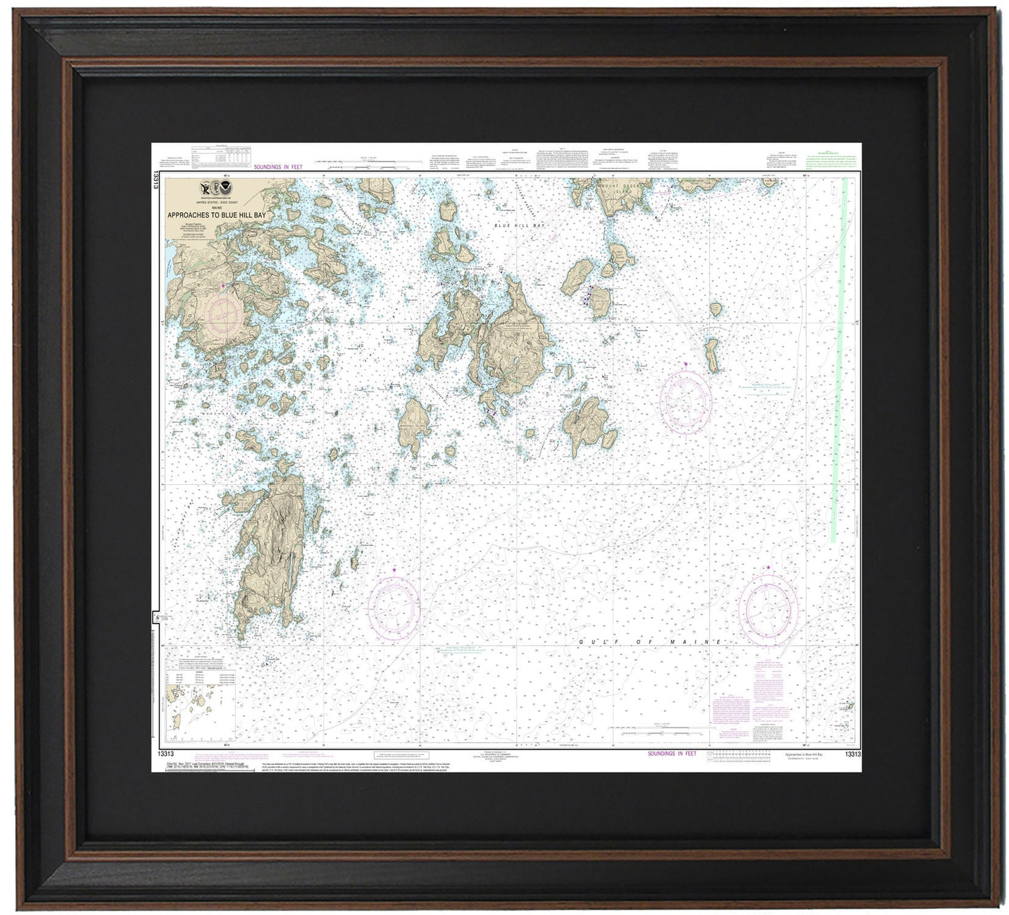
Framed Nautical Chart 13313 - Approaches to Blue Hill Bay, Maine. NOAA 13313. Handmade in the USA.
Framed Nautical Chart 13313 - Approaches to Blue Hill Bay, Maine. NOAA 13313. Handmade in the USA.
Couldn't load pickup availability
Discover the stunning waterways of Blue Hill Bay, Maine, with this beautifully framed nautical chart (NOAA Chart 13313). This detailed map showcases the Approaches to Blue Hill Bay and the enchanting waters surrounding Deer Isle, Isle Au Haut, and numerous other picturesque islands in Maine.
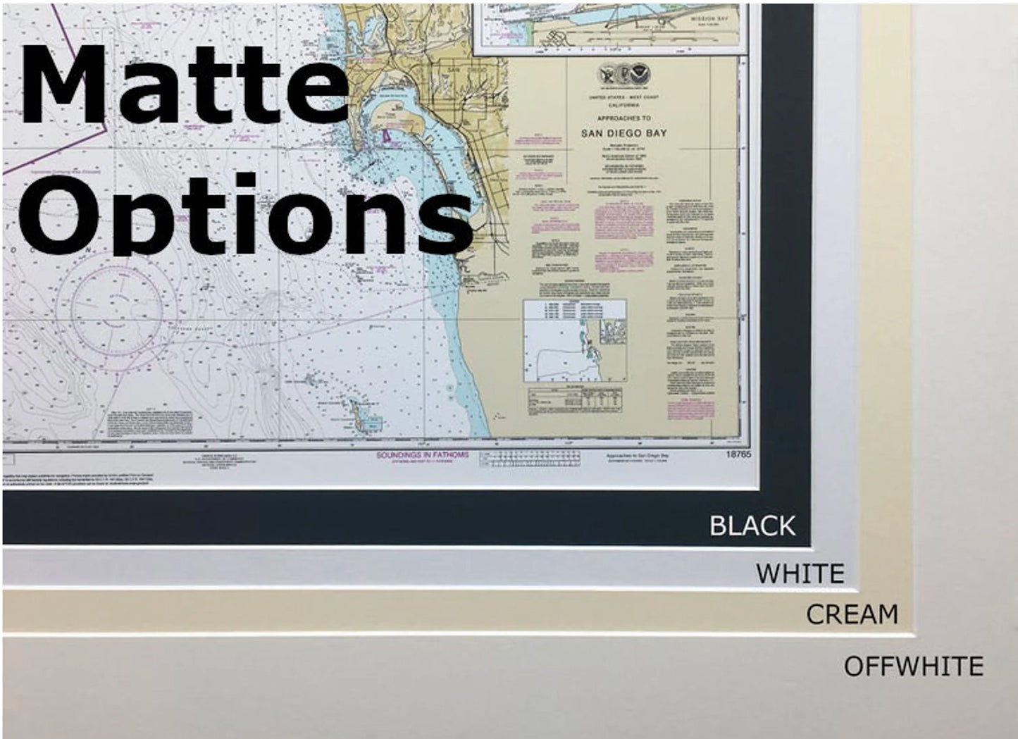
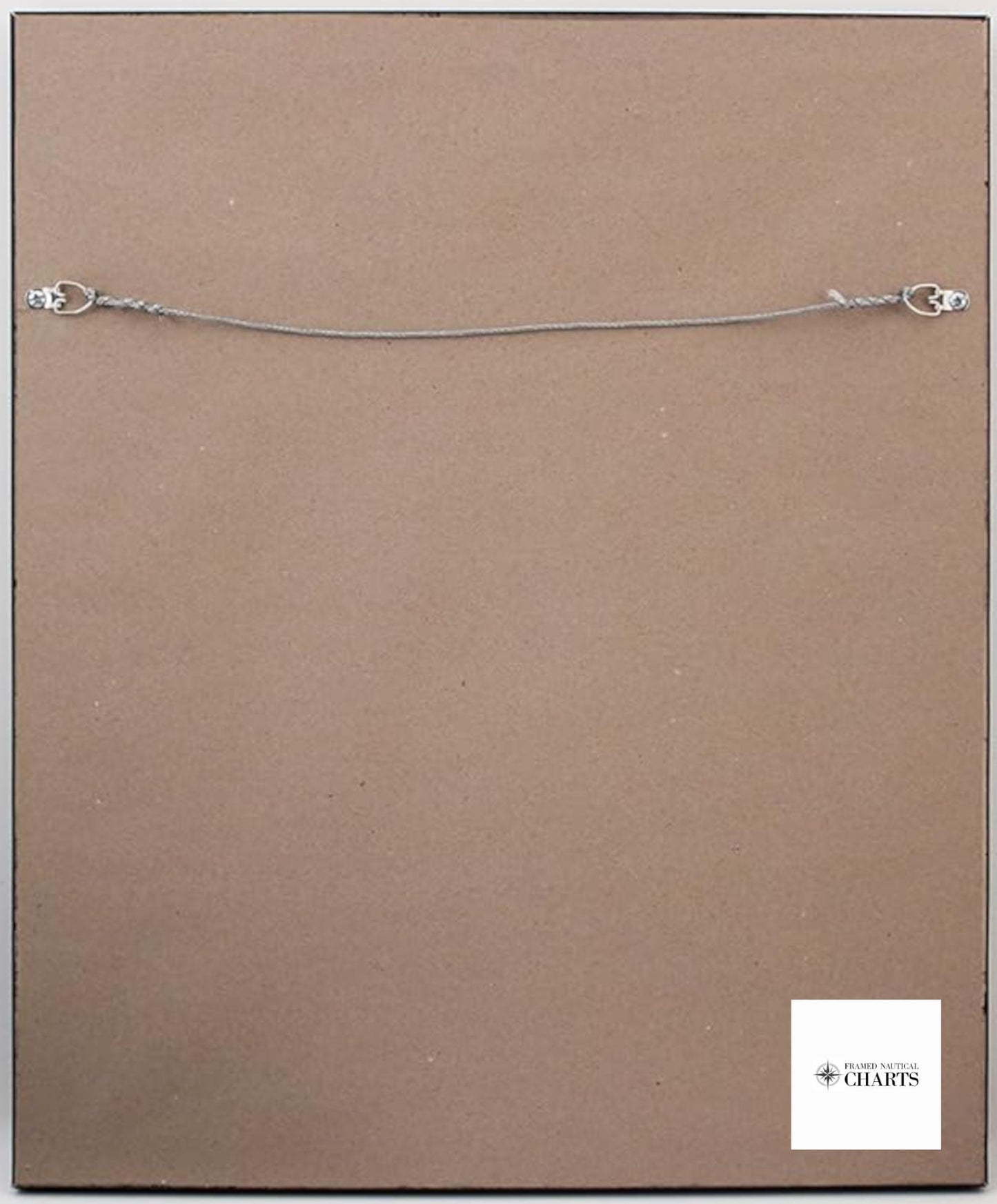
Each framed nautical chart is custom handmade in the USA, reflecting exceptional craftsmanship. The chart is elegantly displayed in a solid wood frame and features a museum-quality print created from archival paper and inks to ensure its longevity. It comes complete with a striking black mat and is protected by a glass front, making it a perfect addition to your home or nautical decor. The back is finished with a paper duster for a polished look, and a wire hanger is included for effortless installation.
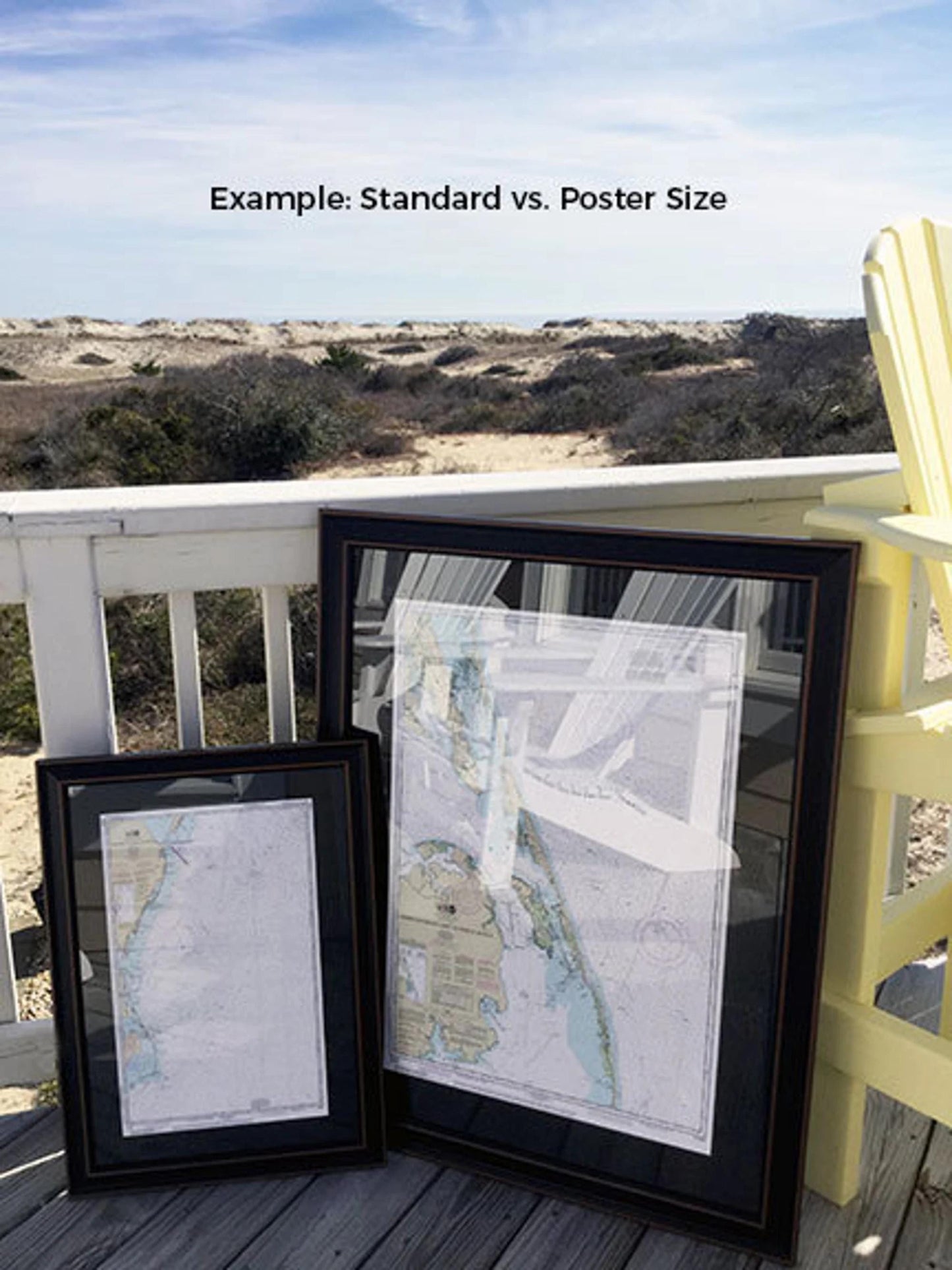
Choose from two convenient sizes: the standard size with outer frame dimensions of approximately 24" W x 16 1/2" H, or the poster size, measuring approximately 36" W x 27 1/2" H. Whether you're an avid sailor, a lover of marine art, or searching for a unique gift, this nautical chart is the ideal choice.
For those interested in different framing options, please don’t hesitate to reach out with your requests. We are happy to accommodate your vision with sample photos.
**Important Shipping Note**: We offer free ground shipping for deliveries within the 48 contiguous states. While we do not increase shipping costs, please contact us for custom shipping quotes to Alaska and Hawaii due to higher shipping expenses.
Share