Framed Nautical Charts
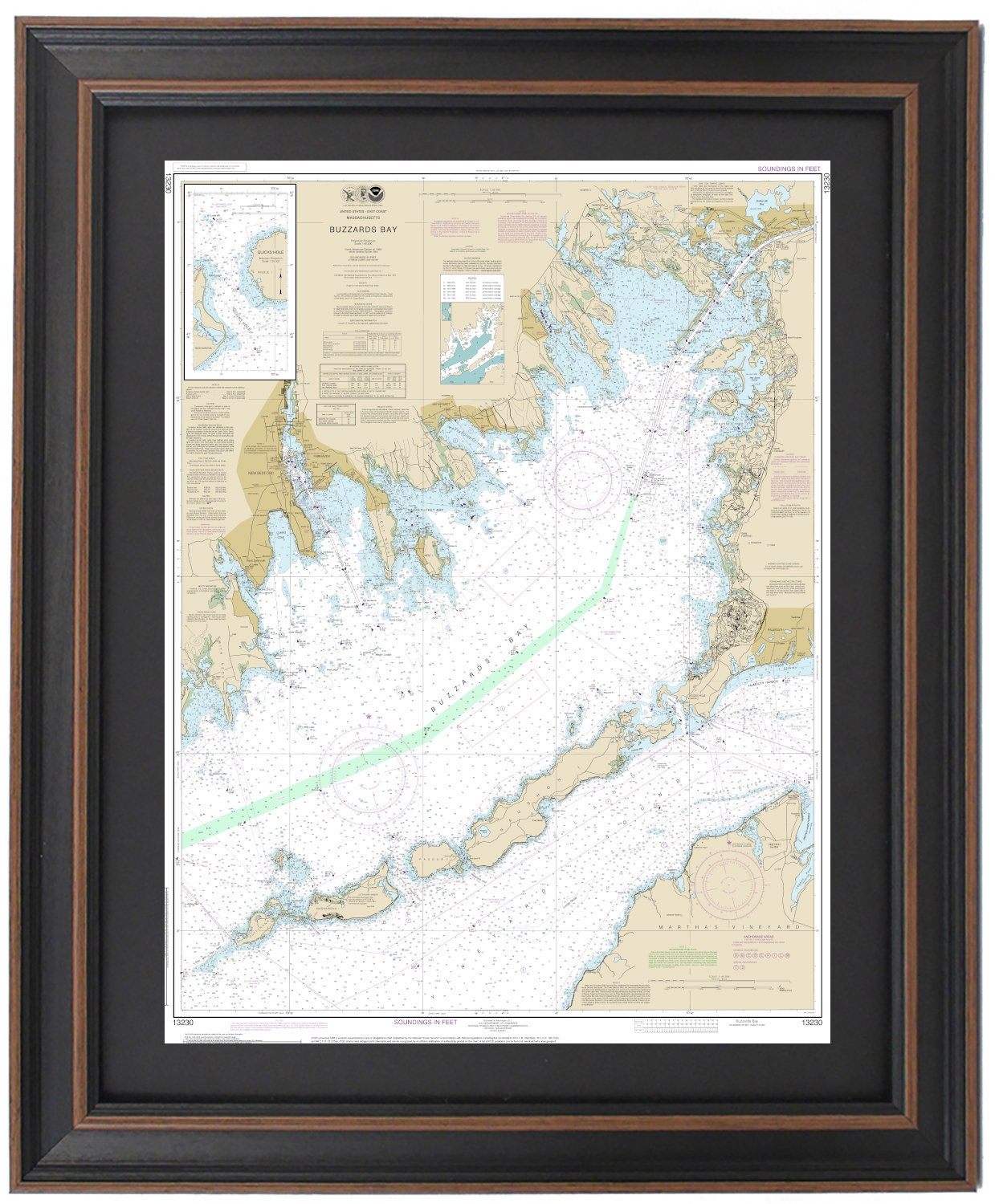
Framed Nautical Chart 13230 - Buzzards Bay, MA. NOAA 13230. Handmade in the USA.
Framed Nautical Chart 13230 - Buzzards Bay, MA. NOAA 13230. Handmade in the USA.
Couldn't load pickup availability
Discover the beauty of Buzzards Bay, MA with this exquisite Framed Nautical Chart (NOAA 13230). This detailed map showcases the stunning coastline and vibrant waters of Buzzards Bay, including notable locations such as Falmouth, Falmouth Harbor, Woods Hole, Nashawena Island, Pasque Island, Naushon Island, New Bedford, Fairhaven, and additional nearby towns and harbors.
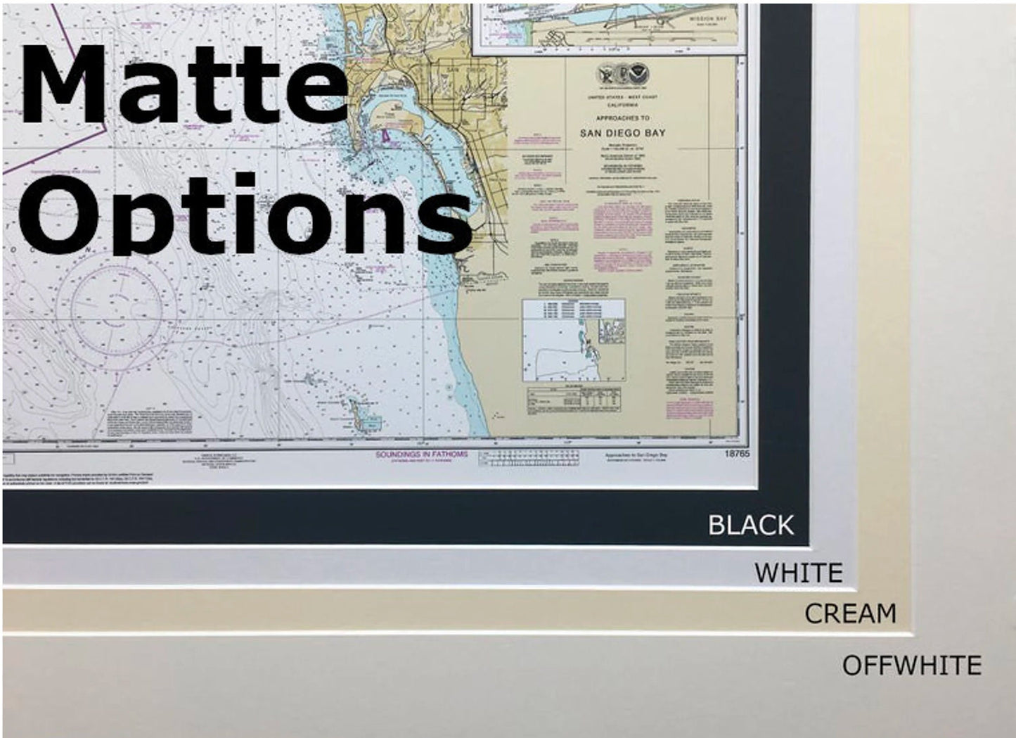
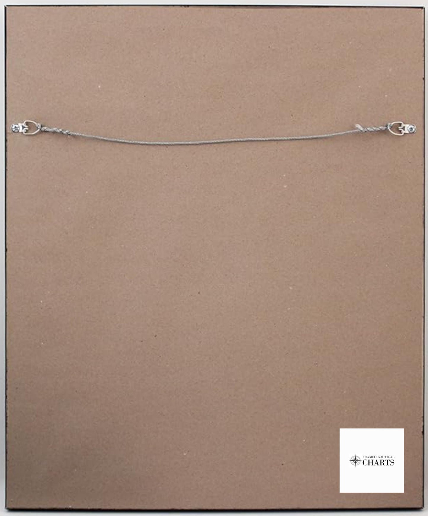
Handcrafted in the USA, each chart reflects exceptional craftsmanship and attention to detail. The nautical chart is beautifully presented in a solid wood frame, featuring a museum-quality print made from archival paper and inks for longevity. It includes a sophisticated black mat and is protected by a durable glass front. The back is elegantly finished with a paper duster, and a wire hanger is provided for easy installation.
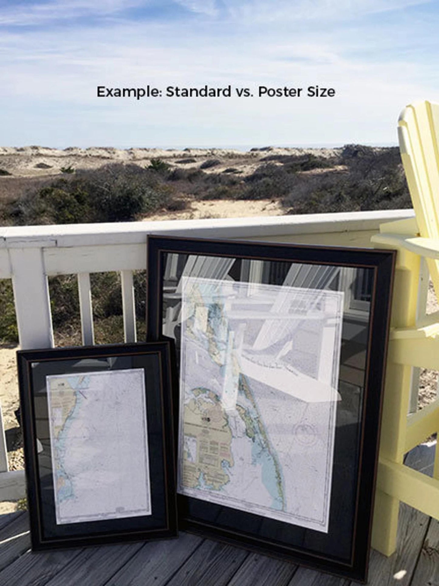
This framed chart is available in two sizes:
- Standard size with outer dimensions of approximately 18" W x 24" H
- Poster size with outer dimensions of approximately 27" W x 36" H
If you are interested in a different frame option or have specific requests, please feel free to reach out to us—we welcome any sample photos you may have to help us create the perfect piece for you.
*Important Shipping Note: Free ground shipping is available for shipments within the 48 contiguous states. We strive to keep shipping costs low, but due to the higher expense of shipping to Alaska and Hawaii, please contact us for a custom shipping quote.
Share