Framed Nautical Charts
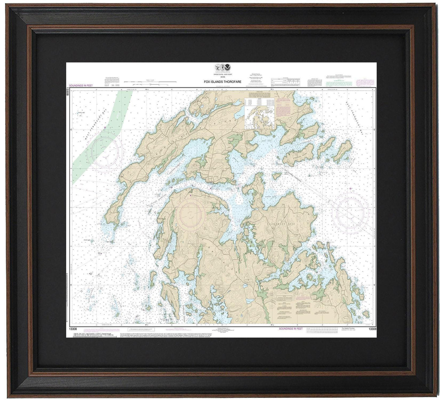
Framed Nautical Chart 13308 - Fox Islands. Vinalhaven, North Haven, Penobscot, and Leadbetter Islands. NOAA 13308. Handmade in the USA.
Framed Nautical Chart 13308 - Fox Islands. Vinalhaven, North Haven, Penobscot, and Leadbetter Islands. NOAA 13308. Handmade in the USA.
Couldn't load pickup availability
Discover the beauty of Penobscot Bay with this intricately framed nautical map, featuring the stunning waterways surrounding the Fox Islands, including Vinalhaven, North Haven, Penobscot, and Leadbetter Islands. This official NOAA Nautical Chart, numbered 13308, provides detailed insights into the rich maritime landscape of these islands in Maine.
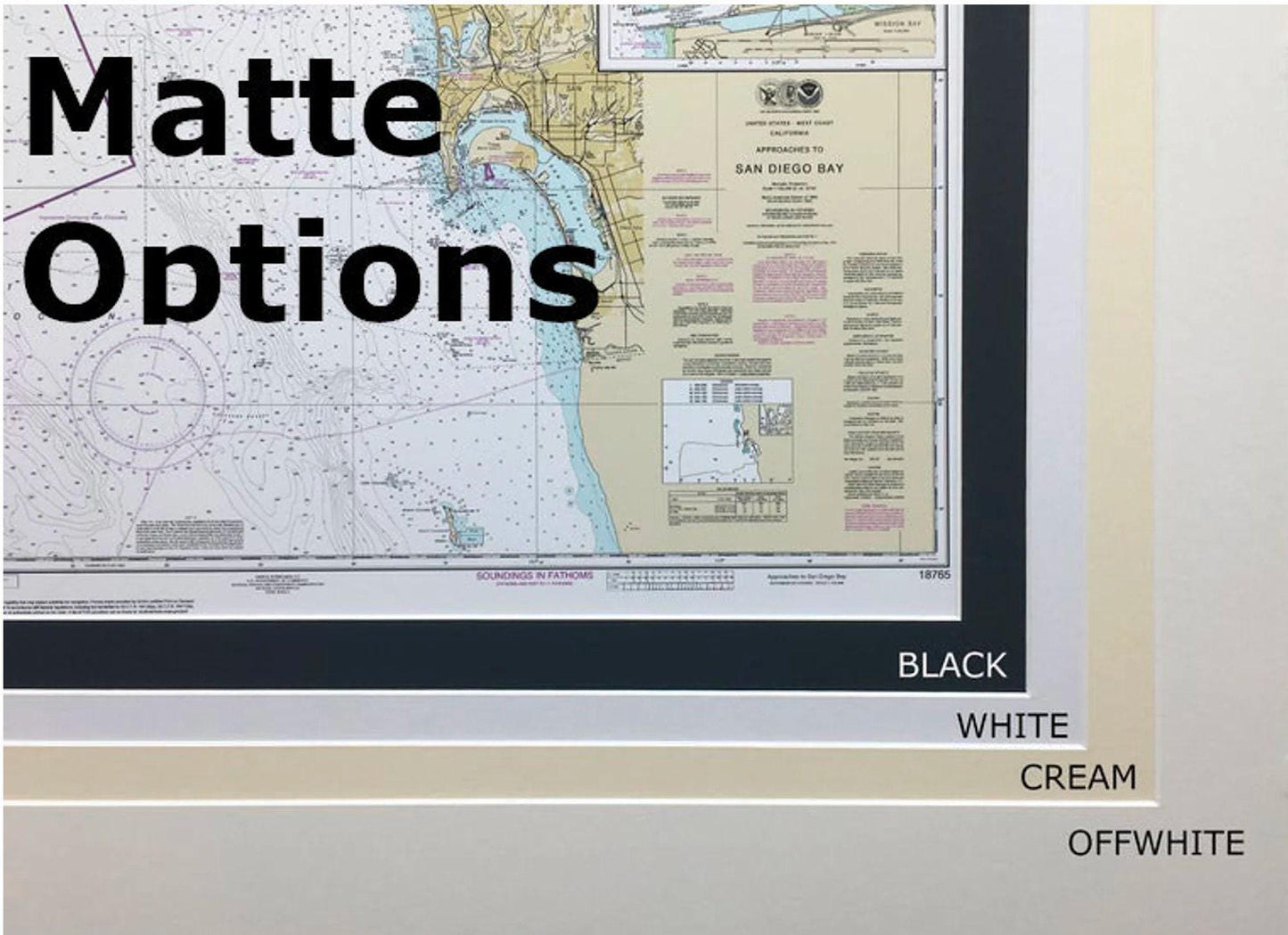
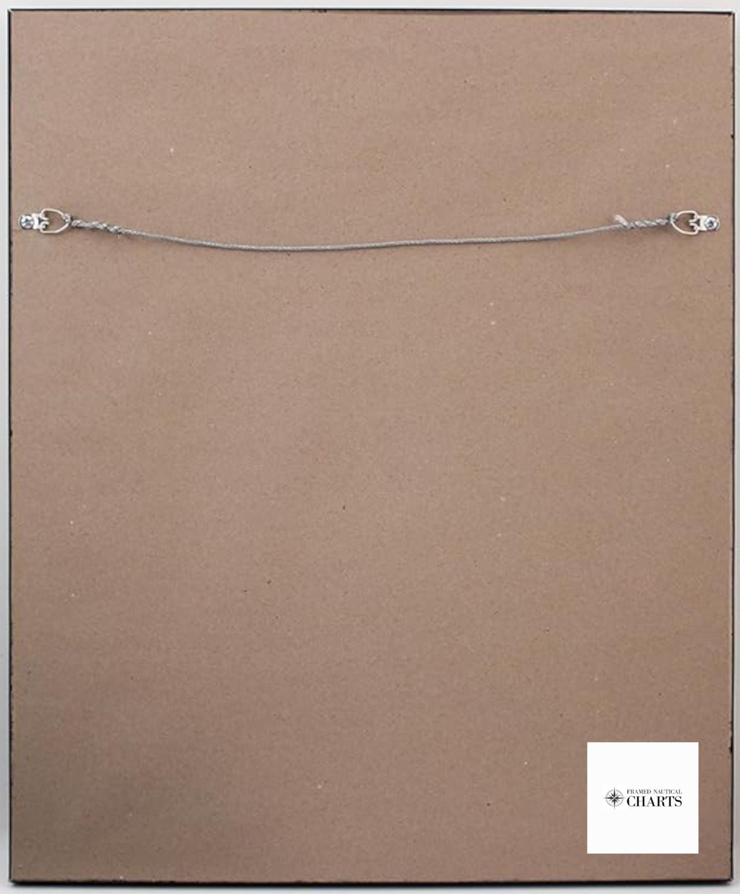
Each chart is carefully handmade in the USA, showcasing exceptional craftsmanship that meets high standards. The map is elegantly presented in a solid wood frame and features a museum-quality print created from archival paper and inks, ensuring durability and a vibrant appearance. A black mat surrounds the chart, and it is protected by a glass front, adding to its overall sophistication. The back is neatly finished with a paper duster, and a convenient wire hanger is included for straightforward installation.
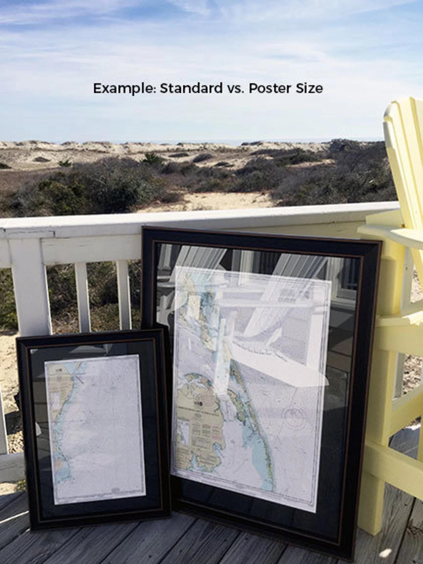
Available in two sizes:
-standard dimensions measure approximately 24" H x 19" W
-poster size offers outer frame dimensions of about 36" W x 28.5" H
If you're interested in alternative frame options, please don’t hesitate to contact us with your requests; we are happy to collaborate with you to achieve your perfect vision.
*Important Shipping Note: We offer free ground shipping to the 48 contiguous states. While we do not inflate shipping costs, the rates for Alaska and Hawaii can be higher. For custom shipping quotes, please reach out to us directly.
Share