Framed Nautical Charts
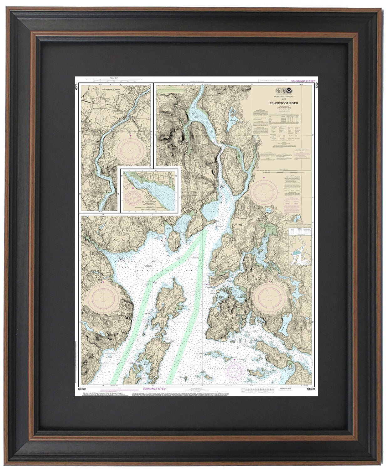
Framed Nautical Chart 13309 - Penobscot River. Islesboro Island, Belfast Harbor, and Bangor, Maine. NOAA 13309. Handmade in the USA.
Framed Nautical Chart 13309 - Penobscot River. Islesboro Island, Belfast Harbor, and Bangor, Maine. NOAA 13309. Handmade in the USA.
Couldn't load pickup availability
Discover the beauty of Maine with our Framed Nautical Chart featuring the Penobscot River, Islesboro Island, Belfast Harbor, and Bangor. This stunning piece is an official NOAA Nautical Chart (No. 13309) that meticulously details the captivating waterways of the Penobscot region.
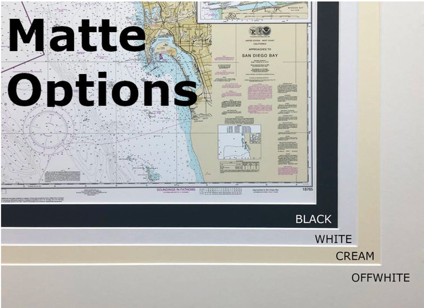
Handcrafted in the USA, each chart exemplifies exceptional craftsmanship and attention to detail. The nautical map is elegantly framed in solid wood and showcases a museum-quality print made from archival paper and inks, ensuring lasting vibrancy. The design includes a classic black mat and a protective glass front, enhancing the visual appeal while safeguarding the chart. The back is neatly finished with a paper duster and equipped with a wire hanger for effortless installation.
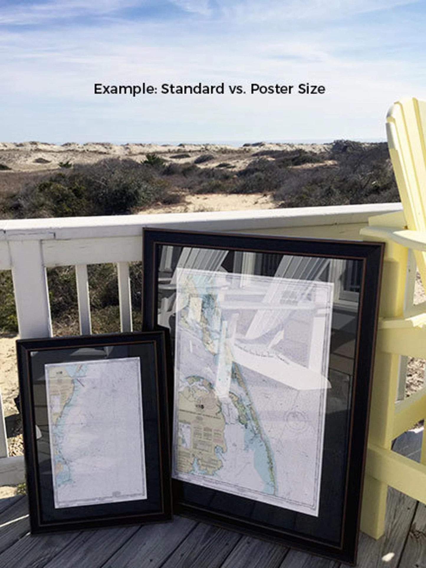
Choose from two frame sizes to suit your space:
- Standard size: Outer frame dimensions are approximately 24" H x 16.5" W.
- Poster size: Outer frame dimensions are approximately 36" H x 24.5" W.
If you're looking for a custom frame option, feel free to contact us with your ideas. We’re happy to collaborate with you to create exactly what you envision.
*Important Shipping Note: Free ground shipping is available for deliveries within the 48 contiguous states. We strive to keep shipping costs reasonable and do not mark up additional fees. For shipping to Alaska and Hawaii, please reach out for a custom shipping quote.
Share