Framed Nautical Charts
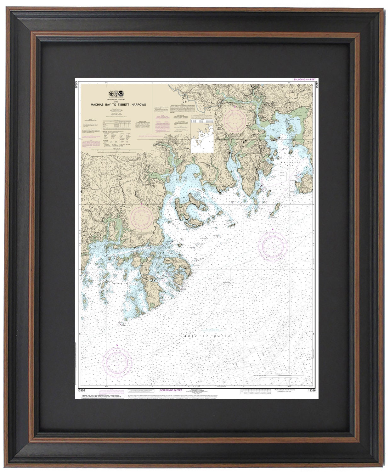
Framed Nautical Chart 13326 - Machais Bay to Tibbett Narrows, Maine. NOAA 13326. Handmade in the USA.
Framed Nautical Chart 13326 - Machais Bay to Tibbett Narrows, Maine. NOAA 13326. Handmade in the USA.
Couldn't load pickup availability
Discover the beauty of Maine’s coastline with our Framed Nautical Chart of Machias Bay to Tibbett Narrows, NOAA Chart 13326. This exquisite framed nautical map beautifully illustrates the intricate waterways of Casco Bay, encompassing the stunning regions of Machias Bay, Western Bay, Eastern Bay, Englishman Bay, Chandler Bay, and numerous other bays and islands.
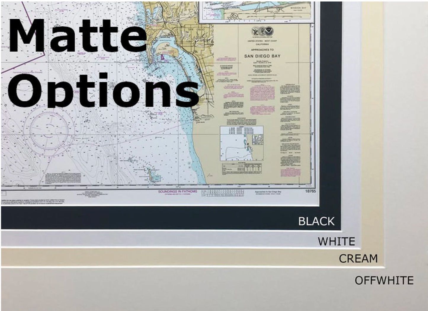
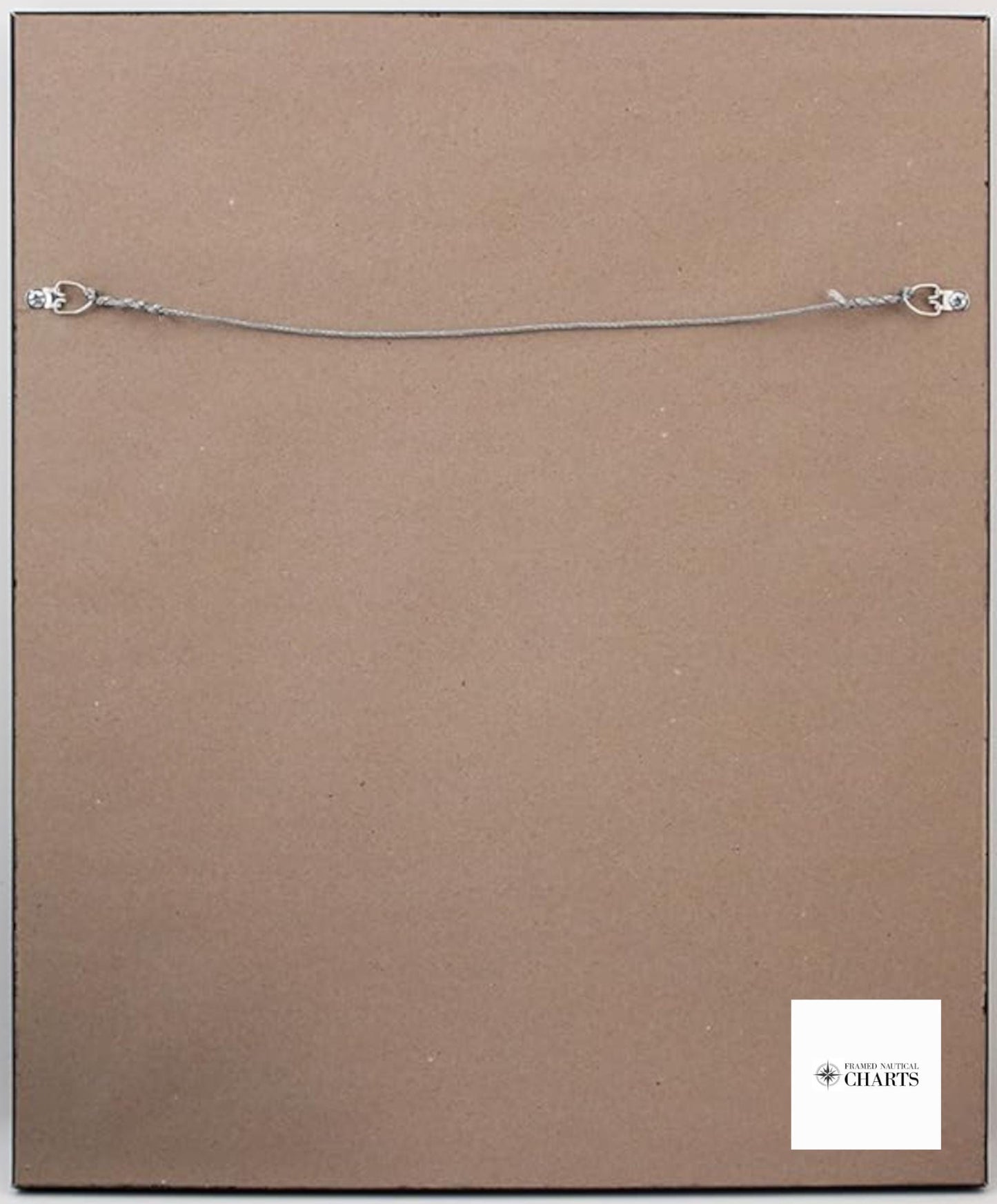
Each chart is meticulously handmade in the USA, showcasing our commitment to high standards of craftsmanship. The chart is elegantly presented in a solid wood frame, complemented by a museum-quality print produced on archival paper using long-lasting inks. The design features a sophisticated black mat and is protected by a glass front for durability and display appeal. The back of the frame is finished with a paper duster, and a convenient wire hanger is included for easy installation.
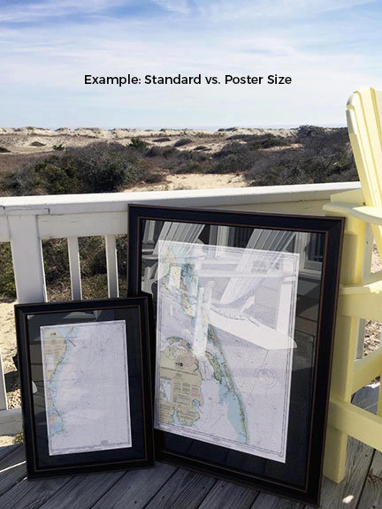
We offer two sizes to suit your preferences: the standard size with outer frame dimensions of approximately 24"H x 18.5"W, and the larger poster size measuring approximately 36"H x 27.5"W.
If you desire a different framing option, please reach out to us with your specific requests. We are delighted to work with you to create the perfect piece that matches your vision.
*Important Shipping Note: Free ground shipping is available for orders to the 48 contiguous states. While we strive to keep shipping costs reasonable, please contact us for custom shipping quotes for Alaska and Hawaii, as additional charges may apply.
Share