-
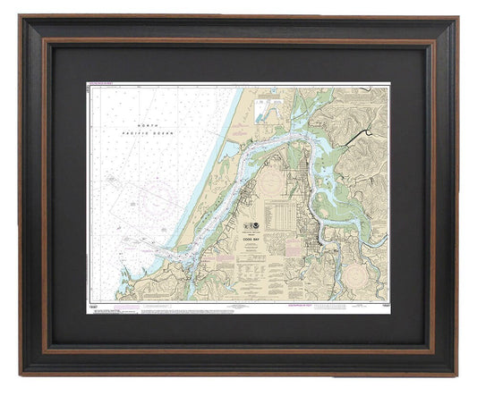
Framed Nautical Chart 18587 - Coos Bay, Oregon. NOAA 18587. Handmade in the USA.
Regular price From $149.99 USDRegular priceUnit price per$0.00 USDSale price From $149.99 USD -
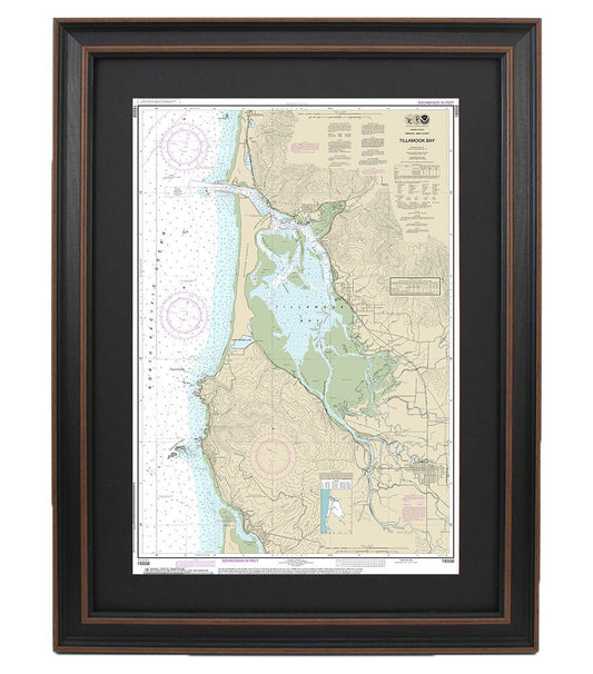
Framed Nautical Chart 18558 - Tillamook Bay. NOAA 18558. Handmade in the USA.
Regular price From $149.99 USDRegular priceUnit price per$0.00 USDSale price From $149.99 USD -
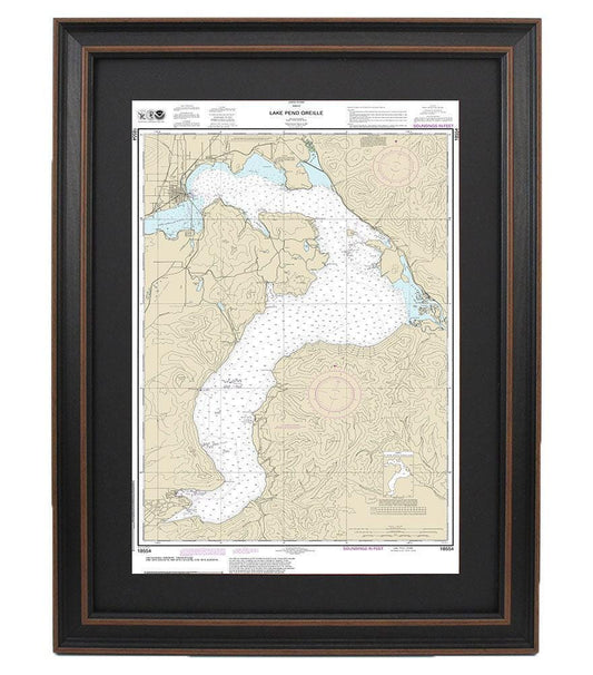
Framed Nautical Chart 18554 - Lake Pend Oreille. NOAA 18554. Handmade in the USA.
Regular price From $149.99 USDRegular priceUnit price per$0.00 USDSale price From $149.99 USD -
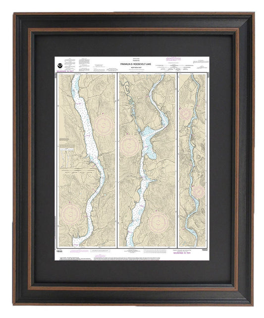
Framed Nautical Chart 18553 - Northern Franklin D. Roosevelt Lake. NOAA 18553. Handmade in the USA.
Regular price From $149.99 USDRegular priceUnit price per$0.00 USDSale price From $149.99 USD -
Framed Nautical Chart 18551 - Southern Franklin D. Roosevelt Lake. NOAA 18551. Handmade in the USA.
Regular price From $149.99 USDRegular priceUnit price per$0.00 USDSale price From $149.99 USD -
Framed Nautical Chart 18548 - Snake River. Lower Granite Lake, Franklin D. Roosevelt Lake. NOAA 18548. Handmade in the USA.
Regular price From $149.99 USDRegular priceUnit price per$0.00 USDSale price From $149.99 USD -
Framed Nautical Chart 18543 - Columbia River. Pasco to Richland. NOAA 18543. Handmade in the USA.
Regular price From $149.99 USDRegular priceUnit price per$0.00 USDSale price From $149.99 USD -
Framed Nautical Chart 18539 - Columbia River. Blalock Islands to McNary Dam. NOAA 18539. Handmade in the USA.
Regular price From $149.99 USDRegular priceUnit price per$0.00 USDSale price From $149.99 USD -
Framed Nautical Chart 18536 - Columbia River. Sundale to Heppner Junction. NOAA 18536. Handmade in the USA.
Regular price From $149.99 USDRegular priceUnit price per$0.00 USDSale price From $149.99 USD -
Framed Nautical Chart 18533 - Columbia River. Lake Celilo. NOAA 18533. Handmade in the USA.
Regular price From $149.99 USDRegular priceUnit price per$0.00 USDSale price From $149.99 USD -
Framed Nautical Chart 18529 - Willamette River. Walnut Eddy To Newburg. NOAA 18529. Handmade in the USA.
Regular price From $149.99 USDRegular priceUnit price per$0.00 USDSale price From $149.99 USD -
Framed Nautical Chart 18528 - Willamette River. Portland to Walnut Eddy. NOAA 18528. Handmade in the USA.
Regular price From $149.99 USDRegular priceUnit price per$0.00 USDSale price From $149.99 USD -
Framed Nautical Chart 18526 - Port of Portland. Including Vancouver and Southern Multnomah Channel. NOAA 18526. Handmade in the USA.
Regular price From $149.99 USDRegular priceUnit price per$0.00 USDSale price From $149.99 USD -
Framed Nautical Chart 18525 - Columbia River. Saint Helens to Vancouver. NOAA 18525. Handmade in the USA.
Regular price From $149.99 USDRegular priceUnit price per$0.00 USDSale price From $149.99 USD -
Framed Nautical Chart 18524 - Columbia River. Crims Island to Saint Helens. NOAA 18524. Handmade in the USA.
Regular price From $149.99 USDRegular priceUnit price per$0.00 USDSale price From $149.99 USD -
Framed Nautical Chart 18523 - Columbia River. Harrington Point to Crims Island. NOAA 18523. Handmade in the USA.
Regular price From $149.99 USDRegular priceUnit price per$0.00 USDSale price From $149.99 USD