Framed Nautical Charts
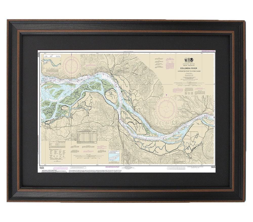
Framed Nautical Chart 18523 - Columbia River. Harrington Point to Crims Island. NOAA 18523. Handmade in the USA.
Framed Nautical Chart 18523 - Columbia River. Harrington Point to Crims Island. NOAA 18523. Handmade in the USA.
Couldn't load pickup availability
Discover the beauty of the Columbia River with our Framed Nautical Chart, which captures the stunning waters from Harrington Point to Crims Island. This meticulously crafted chart is an official NOAA nautical guide, showcasing the breathtaking Oregon coastline. Each piece is custom handmade in the USA, reflecting exceptional standards of craftsmanship.
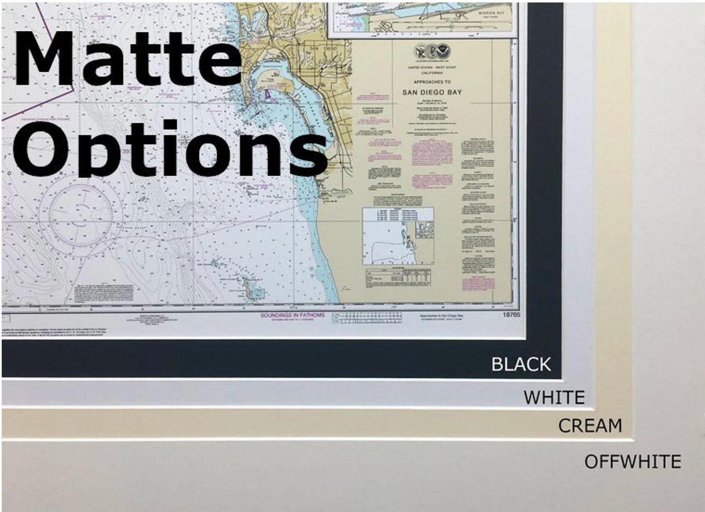
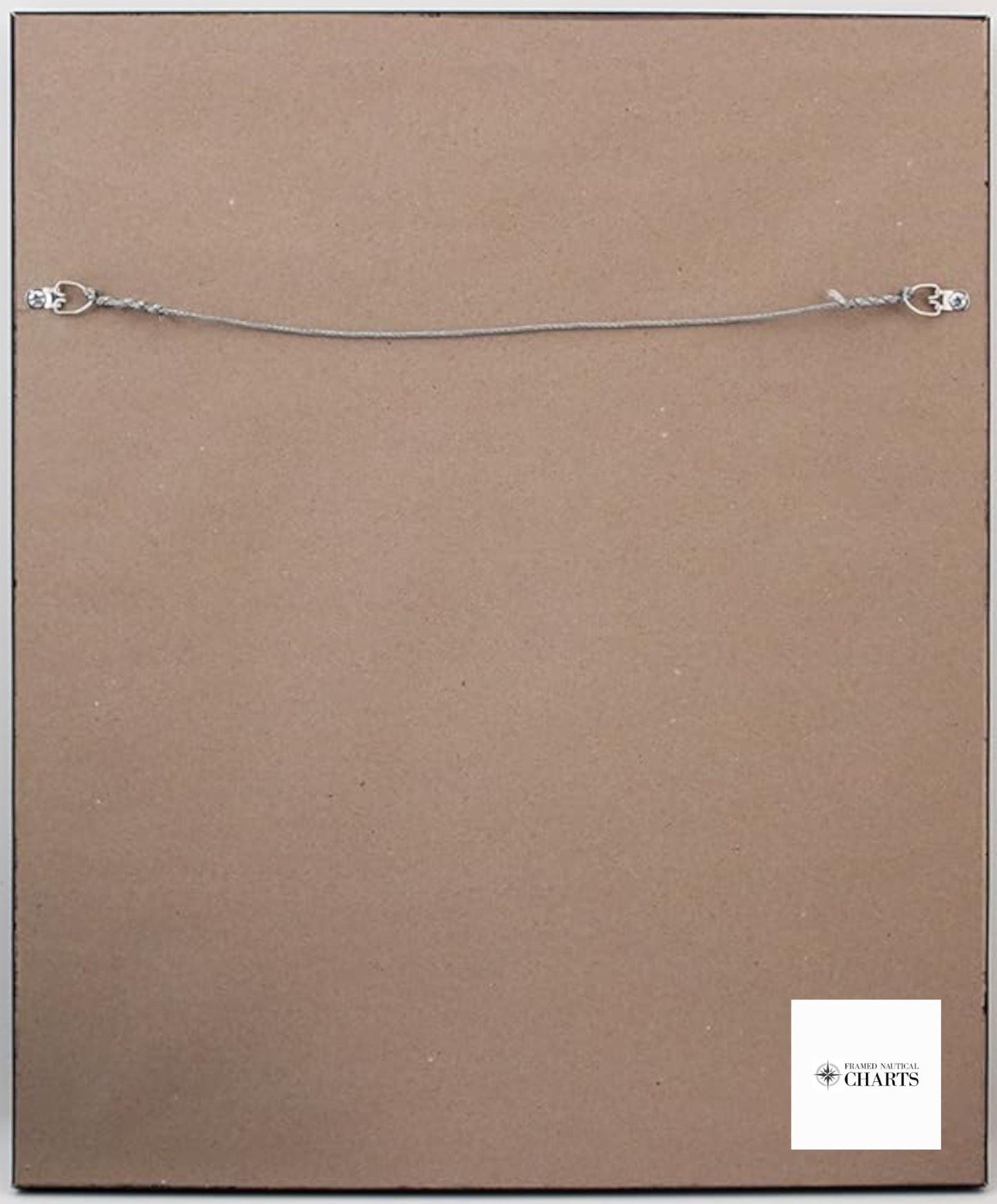
Your chart comes elegantly framed in a solid wood frame, featuring a museum-quality print made from archival paper and inks for longevity. It boasts a sophisticated black mat and is protected by a glass front, ensuring that the vibrant details are beautifully displayed. The back of the frame is finished with a paper duster, and a wire hanger is included for easy installation.
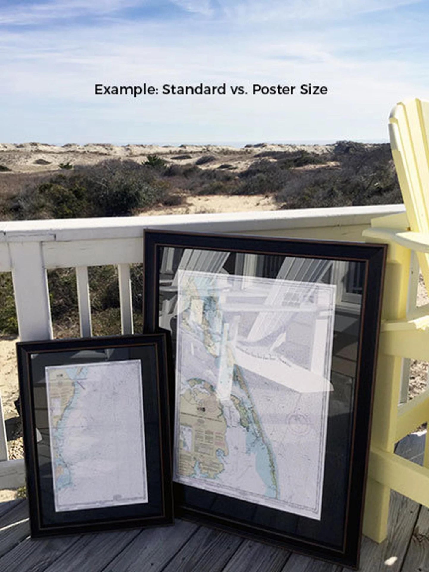
Choose from two sizes:
- Standard size with outer frame dimensions of approximately 24" W x 14.5" H.
- Poster size with outer frame dimensions of approximately 36" W x 22" H.
Crafted with attention to detail, this framed chart is a perfect addition to any nautical enthusiast's collection or a stunning gift for someone special. Should you desire a different frame option, please do not hesitate to contact us; we welcome your requests and any sample photos to help create your vision.
Enjoy the convenience of free ground shipping to the 48 contiguous states.* Please note that while we do not increase shipping costs, higher rates apply for shipments to Alaska and Hawaii. For custom shipping quotes to these locations, feel free to reach out to us. *Important Shipping Note – Free ground shipping applies only to the 48 contiguous states.
Share