Framed Nautical Charts
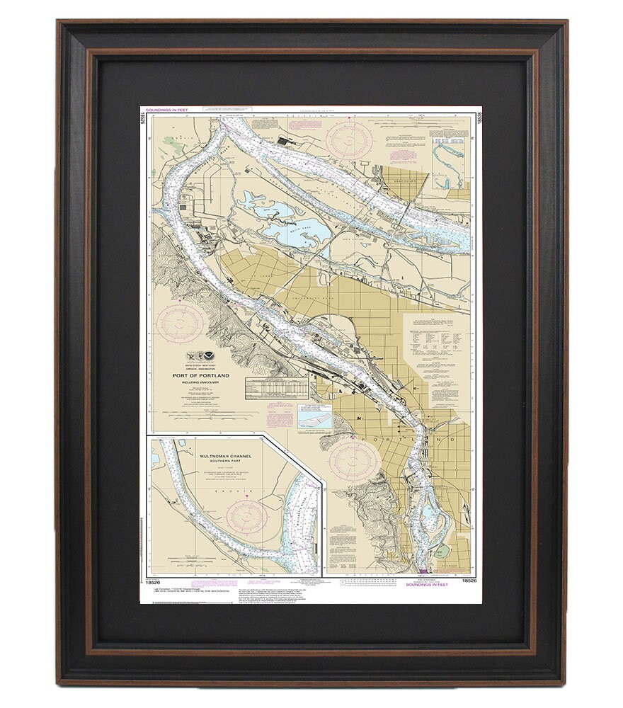
Framed Nautical Chart 18526 - Port of Portland. Including Vancouver and Southern Multnomah Channel. NOAA 18526. Handmade in the USA.
Framed Nautical Chart 18526 - Port of Portland. Including Vancouver and Southern Multnomah Channel. NOAA 18526. Handmade in the USA.
Couldn't load pickup availability
Discover the stunning beauty of the Port of Portland with this meticulously crafted Framed Nautical Chart 18526, which encompasses the waters of Vancouver and the Southern Multnomah Channel. Officially produced by NOAA, this nautical map provides an exquisite representation of these picturesque waterways in Washington State.
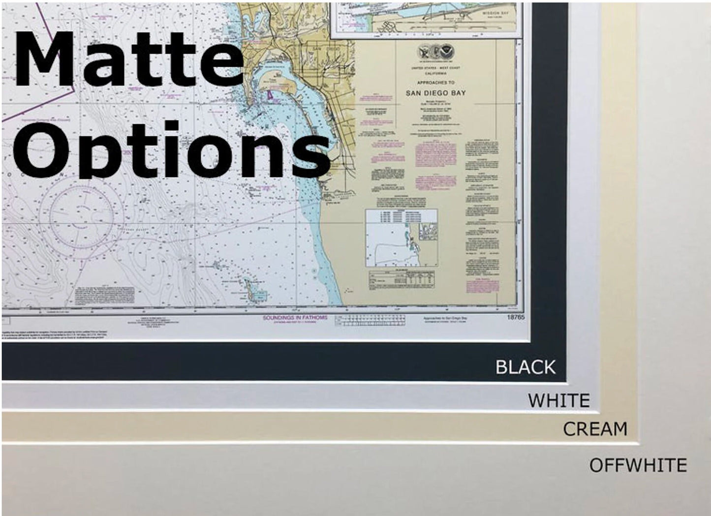
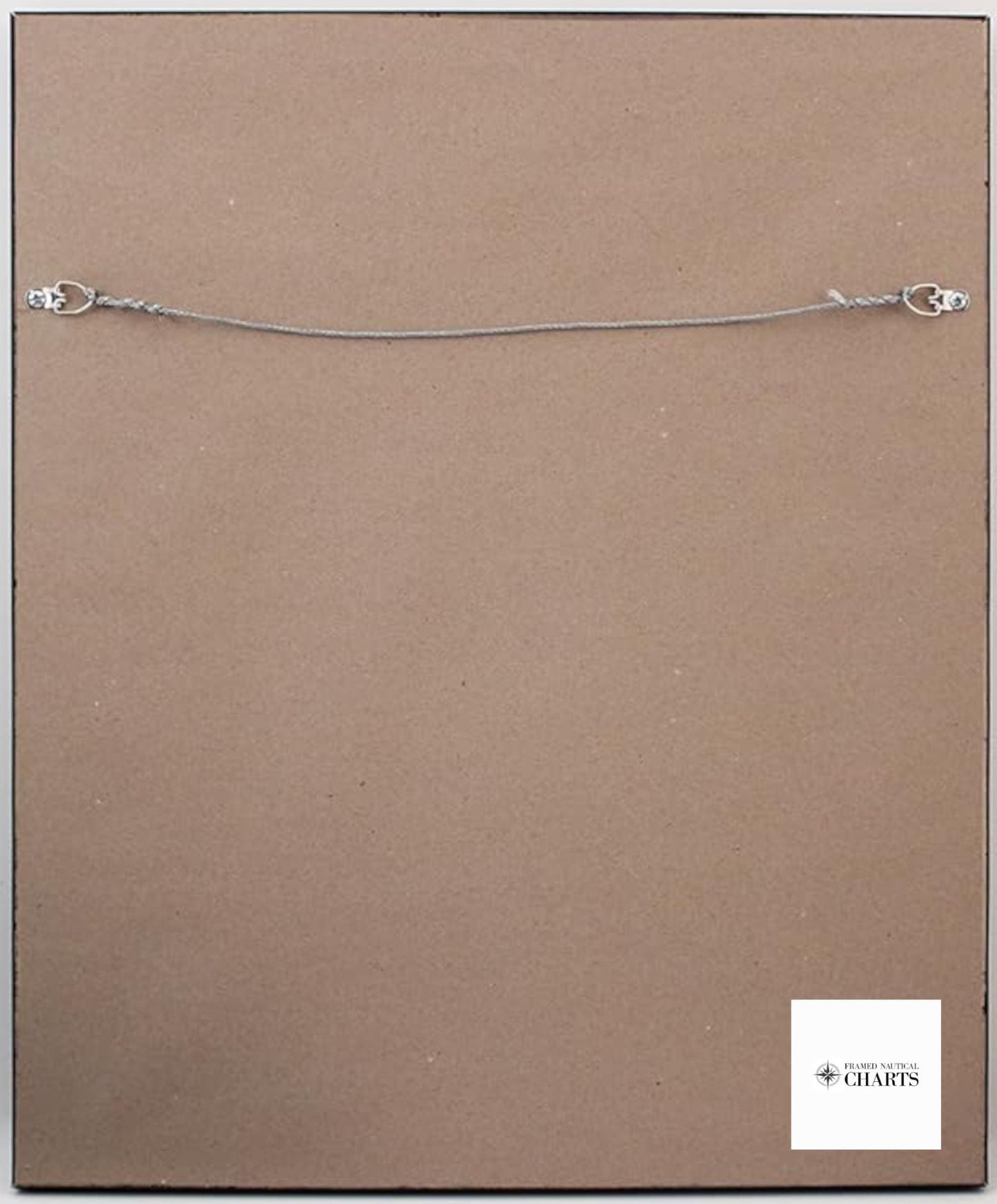
Each chart is custom handmade in the USA, showcasing impeccable craftsmanship. The map is beautifully displayed in a solid wood frame and features a museum-quality print made from archival paper and inks for lasting clarity and vibrancy. It includes an elegant black mat and is protected by a glass front, ensuring durability and a polished look. The back is finished with a paper duster for a clean appearance, and a wire hanger is included for easy installation.
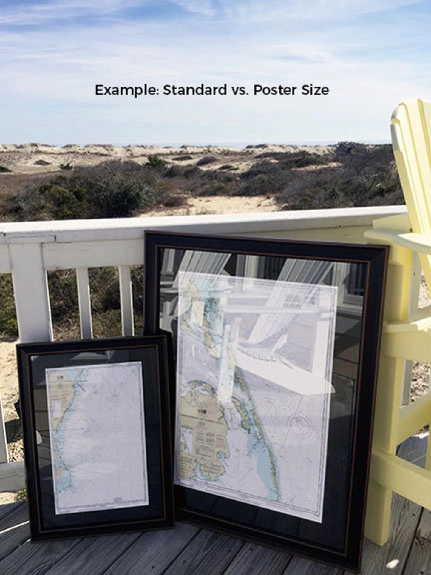
Available in two sizes, you can choose the perfect fit for your space:
- Standard size - outer frame dimensions approximately 24" H x 13 1/2" W
- Poster size - outer frame dimensions approximately 36" H x 20" W
Plus, enjoy Free Ground Shipping* within the contiguous United States. If you have a specific frame option in mind, please don't hesitate to contact us with your request. We also welcome any sample photos you may have to help us realize your vision.
*Important Shipping Note: Free ground shipping applies only to deliveries within the 48 contiguous states. While we strive to keep shipping costs reasonable, shipping to Alaska and Hawaii incurs additional charges. Please contact us for custom shipping quotes.
Share