Framed Nautical Charts
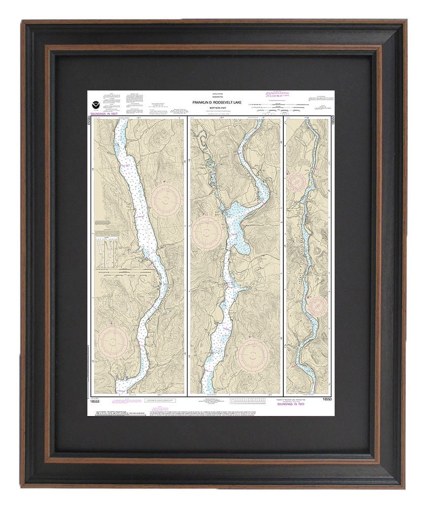
Framed Nautical Chart 18553 - Northern Franklin D. Roosevelt Lake. NOAA 18553. Handmade in the USA.
Framed Nautical Chart 18553 - Northern Franklin D. Roosevelt Lake. NOAA 18553. Handmade in the USA.
Couldn't load pickup availability
Introducing the beautifully framed nautical chart of the northern waters of Franklin D. Roosevelt Lake, designated as NOAA Chart 18553. This exquisite nautical map, handmade in the USA, encapsulates the stunning waterways of Washington State, offering a unique decorative piece for any maritime enthusiast.
Each chart is crafted with attention to detail, featuring a solid wood frame and a museum-quality print produced on archival paper using fade-resistant inks. The design includes an elegant black mat that accentuates the artwork, all safeguarded by a protective glass front. The back is finished with a paper duster for a polished look, and a wire hanger is included for effortless installation.
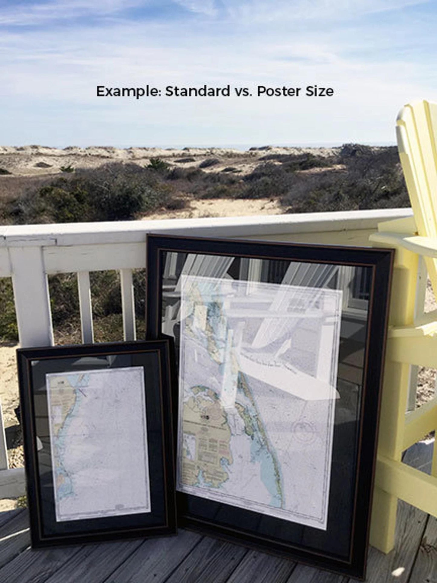
Available in two sizes, you can choose the perfect fit for your space:
- Standard size: Outer frame dimensions approximately 19 1/4" W x 24" H.
- Poster size: Outer frame dimensions approximately 29" W x 36" H.
Experience high-quality craftsmanship with our framed nautical chart, complemented by free ground shipping to the 48 contiguous states. If you're interested in a different frame option, please don’t hesitate to contact us with your request. We are happy to collaborate and bring your vision to life, so feel free to share any sample photos you may have.
*Important Shipping Note: Free ground shipping is valid only for orders shipped to the contiguous USA. For shipping to Alaska and Hawaii, please reach out for a personalized shipping quote, as additional costs may apply.
Share