Framed Nautical Charts
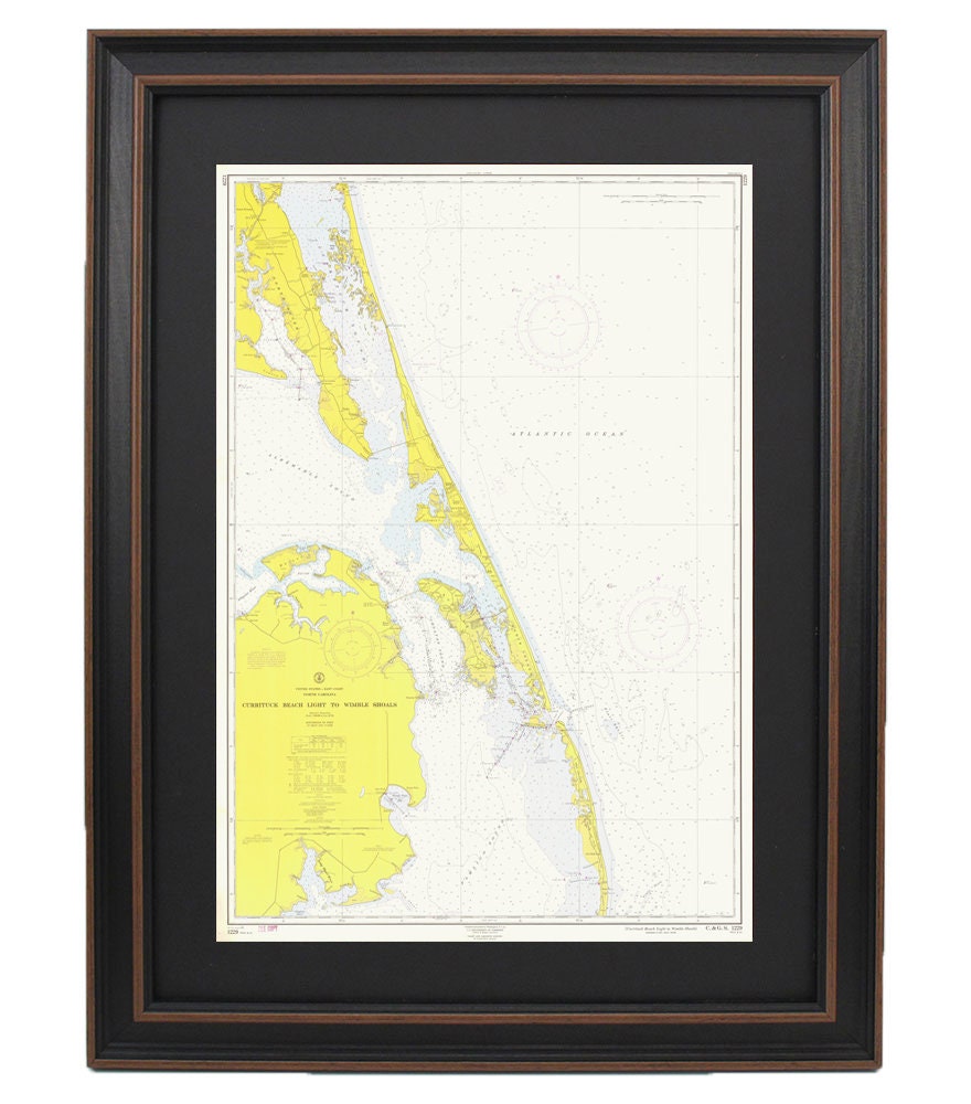
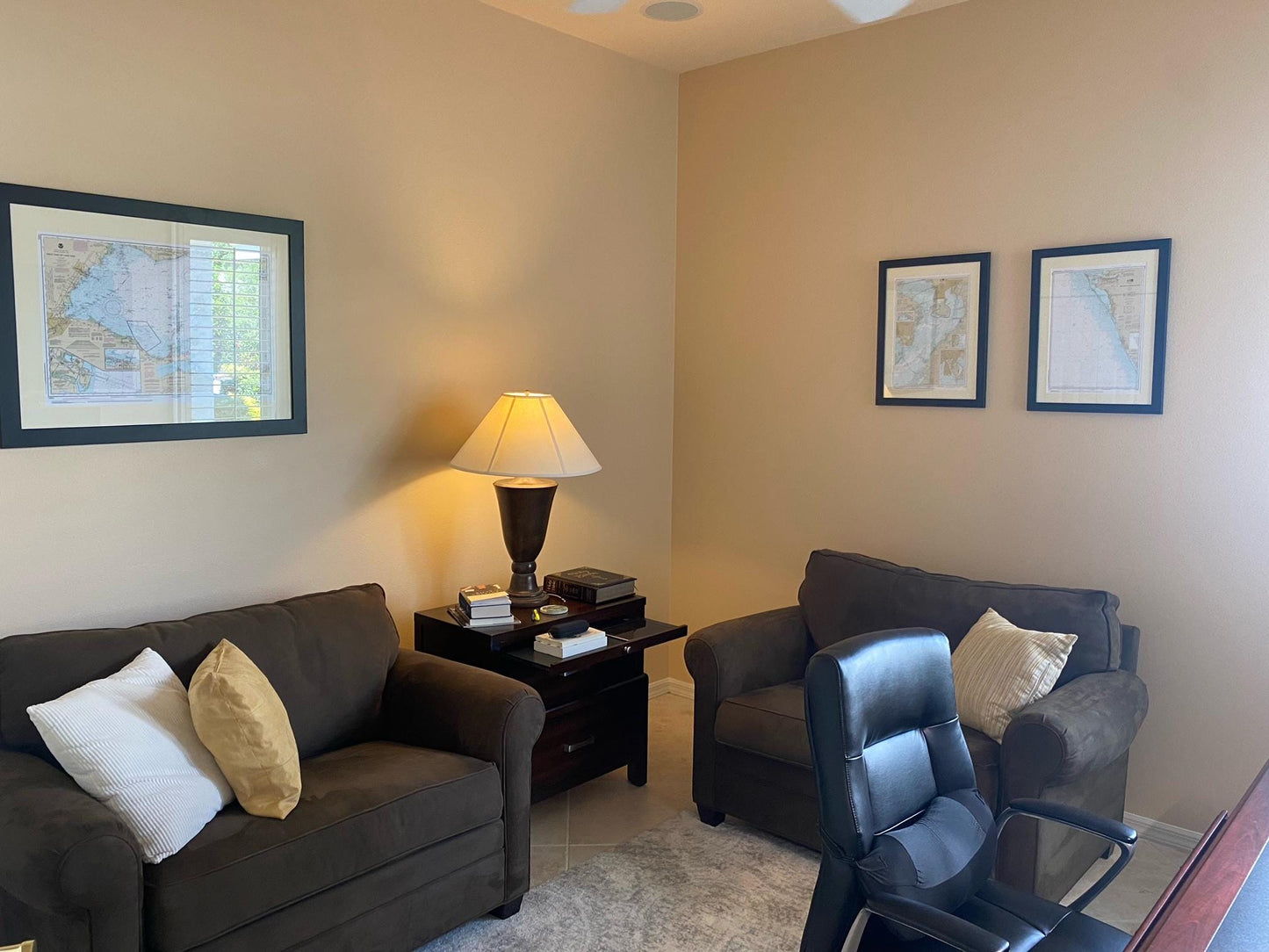
Vintage Outer Banks Nautical Chart 12204 - Currituck Beach Light to Wimble Shoals. 1961 Historical Chart. NOAA 12204. Handmade in the USA.
Vintage Outer Banks Nautical Chart 12204 - Currituck Beach Light to Wimble Shoals. 1961 Historical Chart. NOAA 12204. Handmade in the USA.
Couldn't load pickup availability
This is a vintage / historical replica of the official NOAA Nautical Map covering the waters and landmasses of the Northern Outer Banks, North Carolina. This vintage framed Currituck Beach Light to Wimble Shoals Nautical Chart takes the buyer back in time and gives any room a cool vintage nautical look. If you are looking for a great OBX nautical map, these are perfect for you.
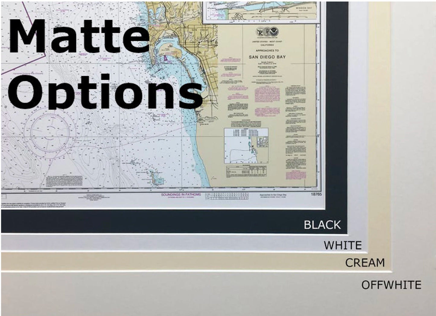
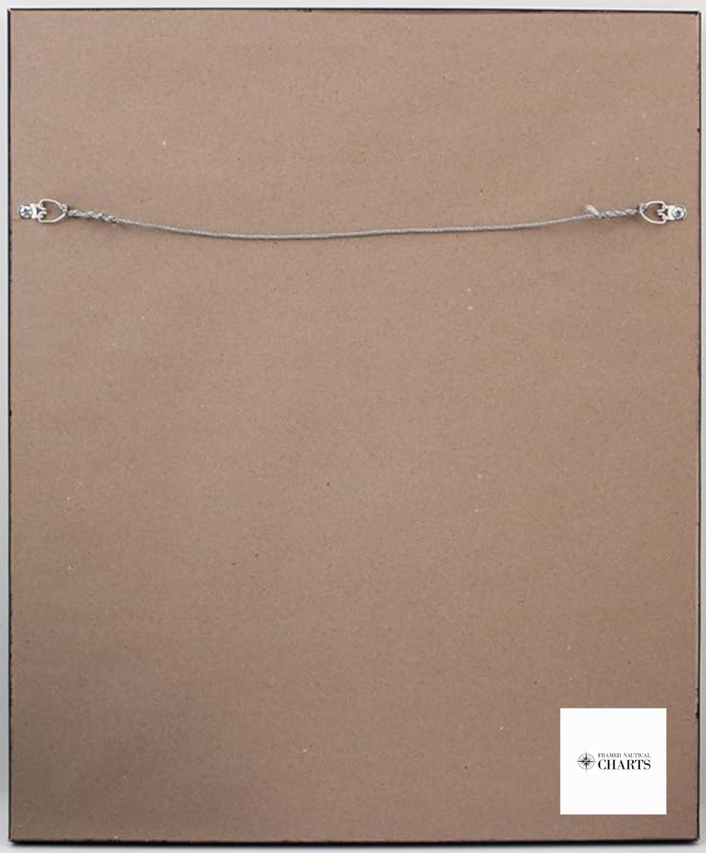
Each chart is custom handmade in the USA, reflecting high standards of craftsmanship. The chart is presented in a solid wood frame and features a museum-quality print made from archival paper and inks. Additionally, it includes a black mat and is safeguarded by a glass front. The back is finished with a paper duster, and a wire hanger is provided for simple installation.
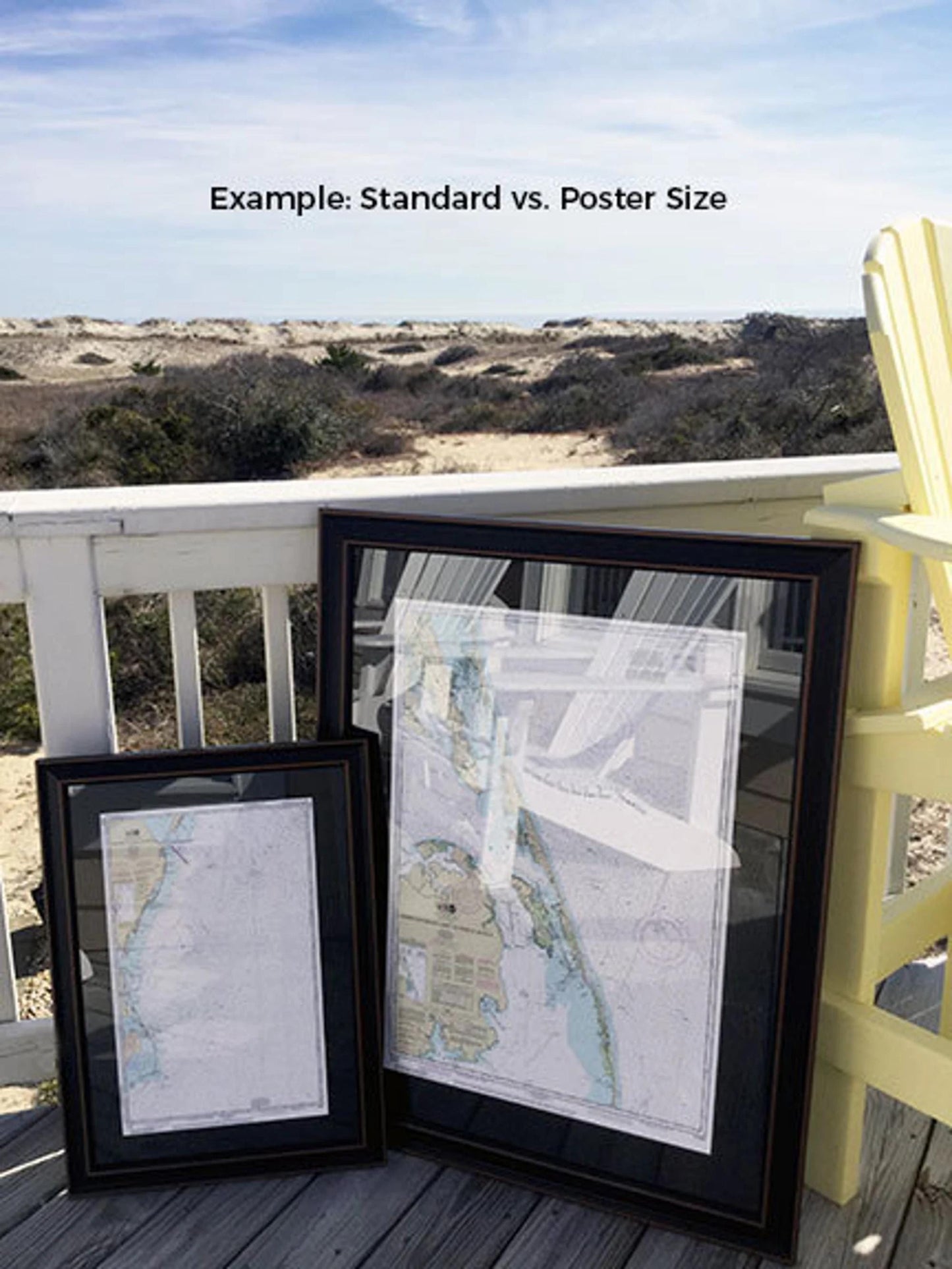
Frames come in two sizes:
- 1961 version (yellow option) Standard size - outer frame dimensions is approx. 24" H x 16 3/4" W
- 1961 version (yellow option) Poster size - outer frame dimensions is approx. 36" H x 25 1/4" WIf you’re looking for a different frame option, please reach out to us with your request. We welcome any sample photos you may have to help us create exactly what you envision.*Important Shipping Note - Free ground shipping is only available for shipments to the 48 contiguous states. We do not mark up additional shipping costs, but due to the high cost of shipping to Alaska and Hawaii, please contact us for a custom shipping quotes.
Share