Framed Nautical Charts
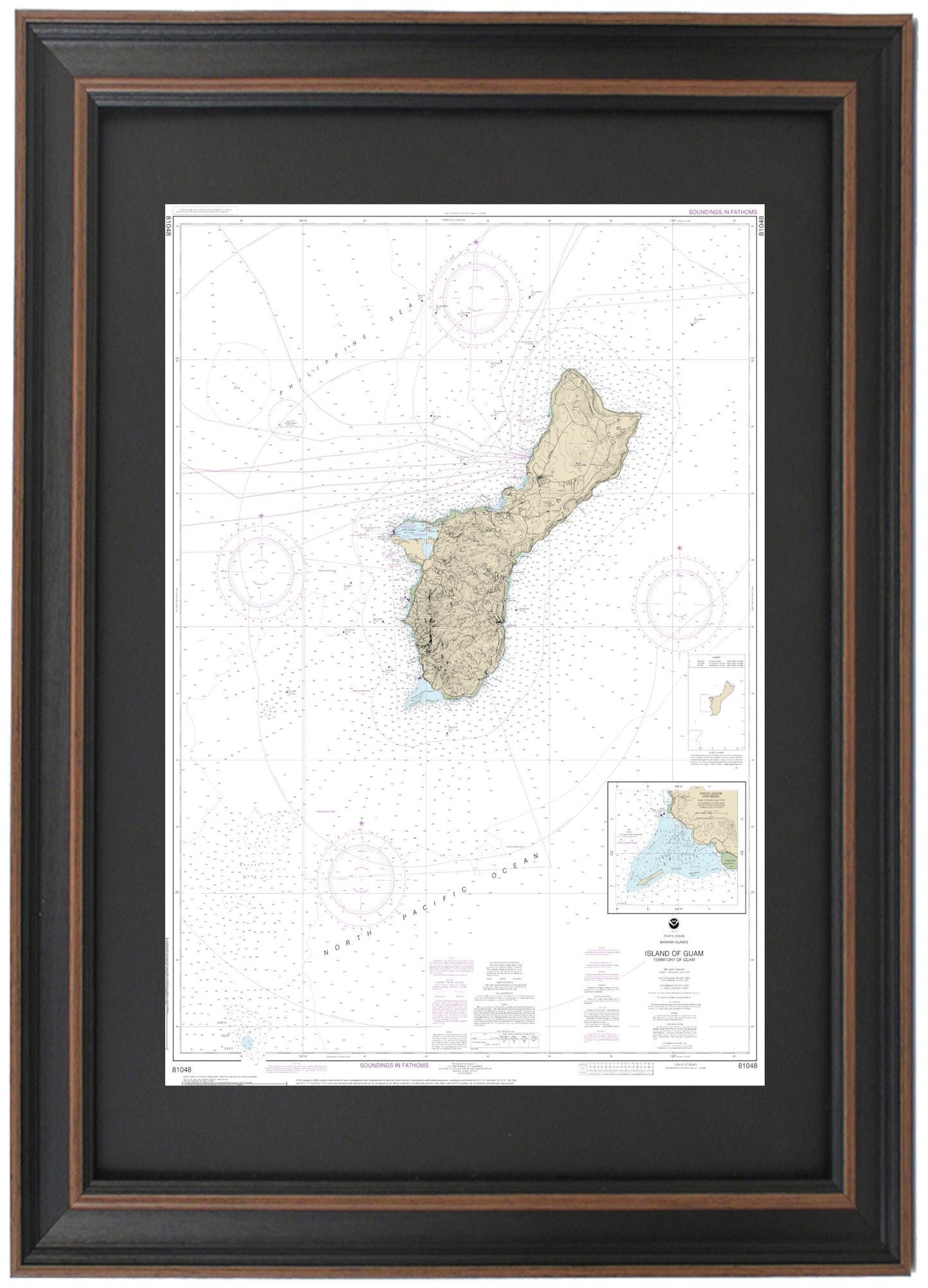
Framed Nautical Chart 81048 - Island of Guam (Territory of Guam). NOAA 81048. Handmade in the USA.
Framed Nautical Chart 81048 - Island of Guam (Territory of Guam). NOAA 81048. Handmade in the USA.
Couldn't load pickup availability
Discover the beauty of the island of Guam with our expertly framed NOAA Nautical Chart 81048. This stunning chart showcases the intricate details of Guam's magnificent waters and coastline, including notable areas such as Apra Harbor, Cocos Lagoon, Ylig Bay, Tumon Bay, Luminao Reef, Cabras Island, Dry Dock Point, Orote Peninsula, Agat Bay, and much more. Each chart is custom handmade in the USA, ensuring the highest standards of craftsmanship and quality.
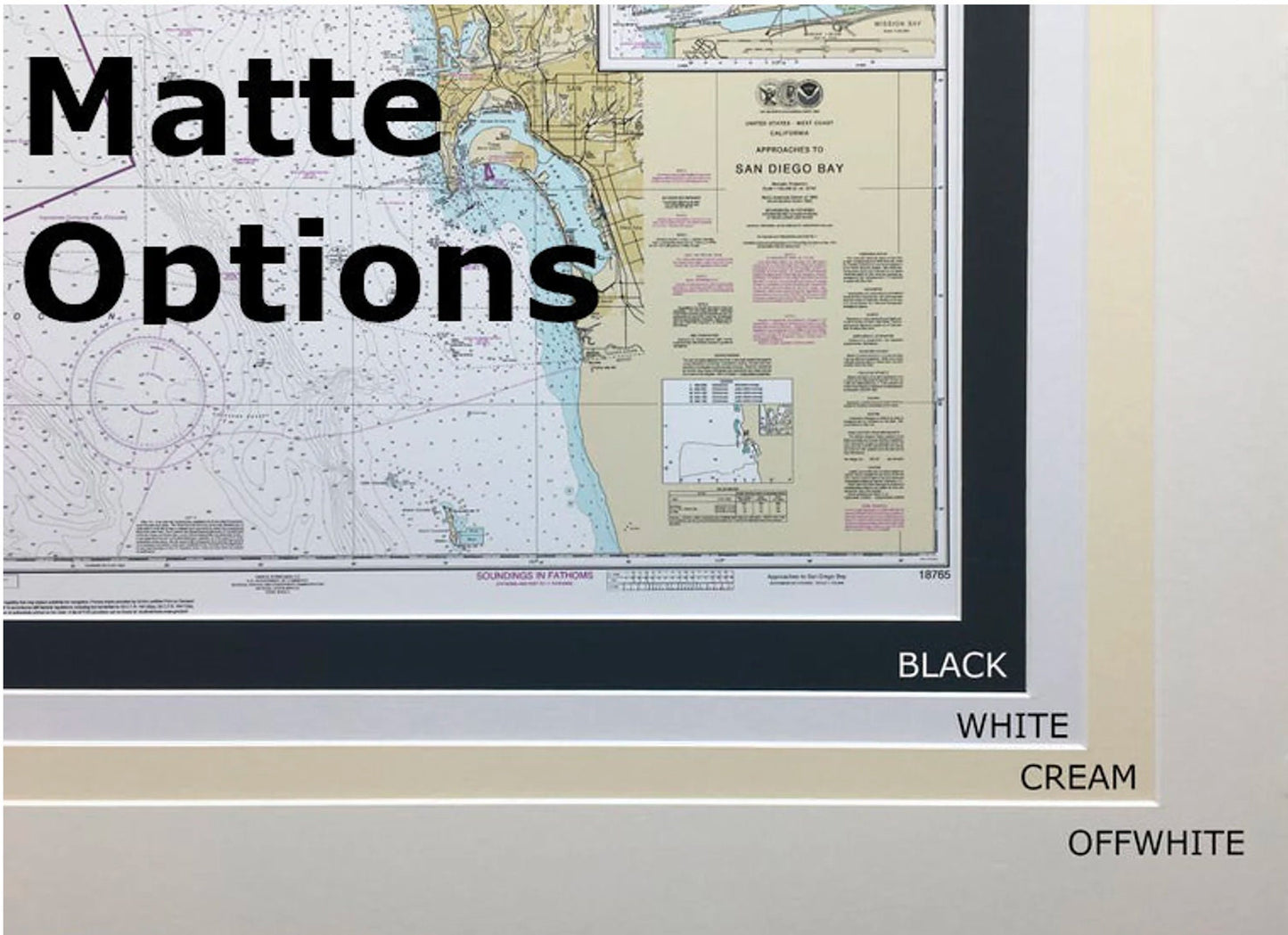
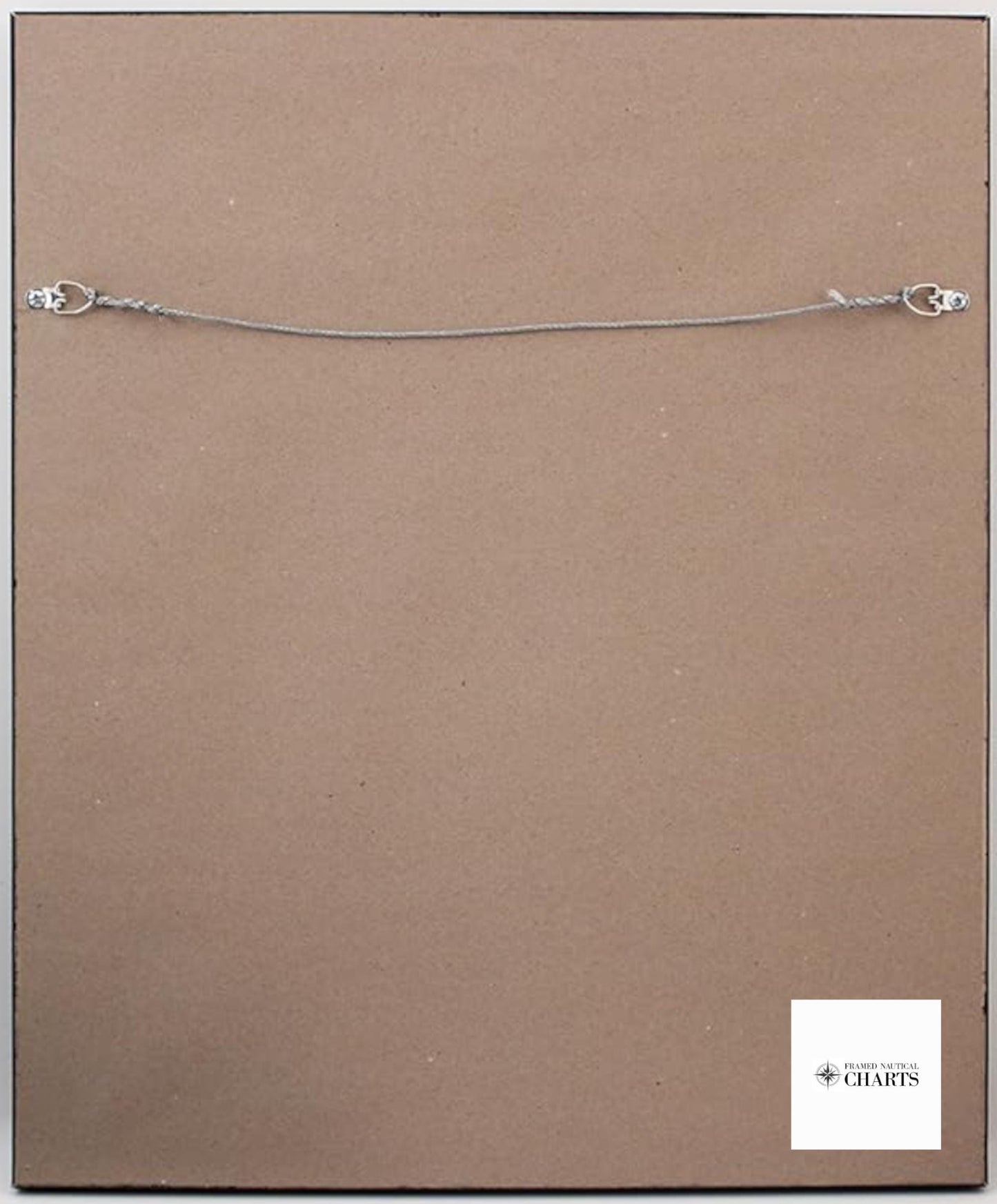
Our Framed Nautical Chart is presented in a solid wood frame, featuring a museum-quality print created from archival paper and inks for durability and clarity. The design is enhanced with a black mat and protected by a glass front. The back is elegantly finished with a paper duster, and a wire hanger is included for easy installation.
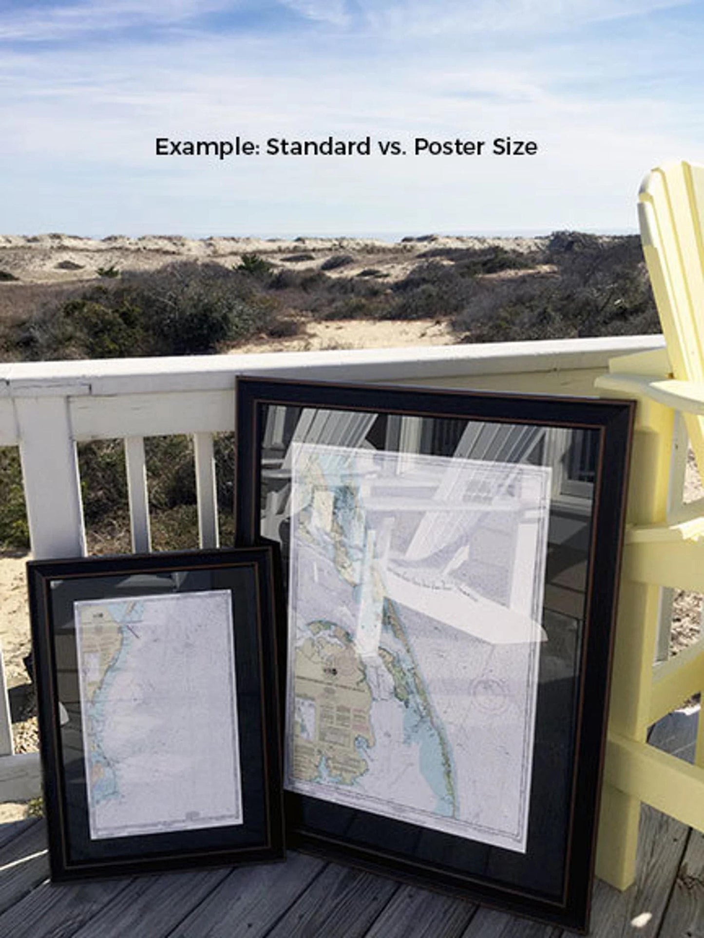
Framing options are available in two sizes to suit your space:
- Standard size: approximately 24" H x 17.25" W
- Poster size: approximately 36" H x 26" W
If you have a specific frame style in mind, please feel free to contact us with your request. We welcome any sample photos to help bring your vision to life.
*Important Shipping Note: We offer free ground shipping to the 48 contiguous states. While we do not inflate shipping costs, please be aware that shipping to Alaska and Hawaii incurs additional fees. For a custom shipping quote, don't hesitate to reach out to us.
Share