Framed Nautical Charts
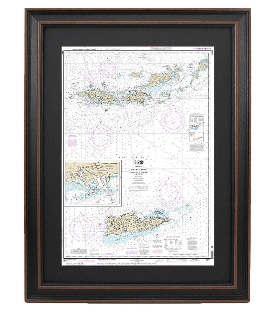
Framed Nautical Chart 25641 - Virgin Islands, Virgin Gorda to St. Thomas and St. Croix. Krause Lagoon Channel. NOAA 25641.
Framed Nautical Chart 25641 - Virgin Islands, Virgin Gorda to St. Thomas and St. Croix. Krause Lagoon Channel. NOAA 25641.
Couldn't load pickup availability
Discover the beauty of the Caribbean with this Framed Nautical Chart featuring the Virgin Islands, from Virgin Gorda to St. Thomas and St. Croix, including the Krause Lagoon Channel. This official NOAA Nautical Chart accurately details these scenic waterways, making it a perfect addition to any nautical-themed decor or a thoughtful gift for maritime enthusiasts.
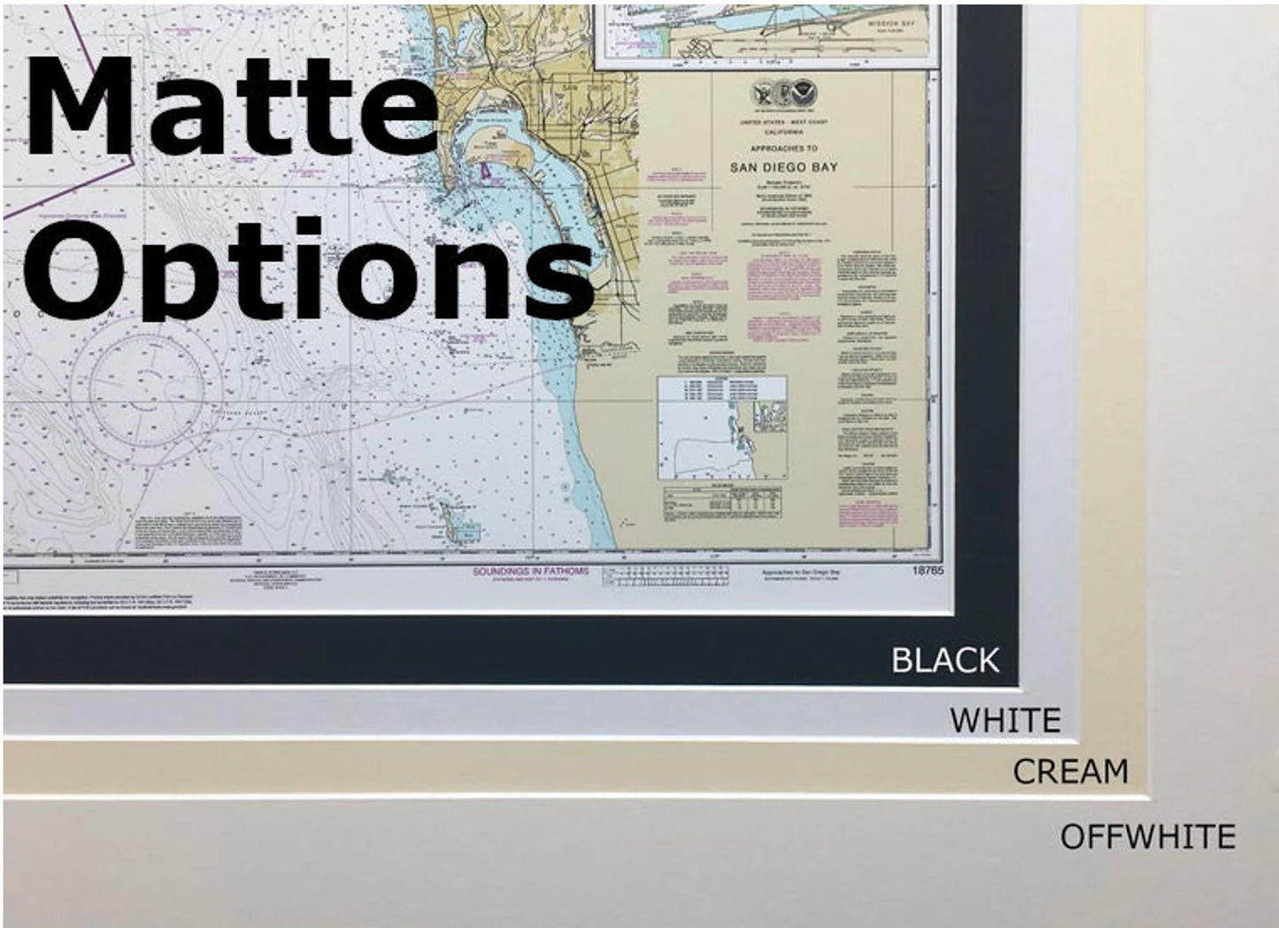
Handcrafted in the USA, each chart is a testament to exceptional craftsmanship and quality. The map is elegantly displayed in a solid wood frame, showcasing a museum-quality print created from archival paper and inks that ensure durability and vivid color. Adding to its sophistication, the chart features a black mat and is protected by a glass front, allowing for easy viewing while safeguarding against dust and damage. The back of the frame is finished with a paper duster for a polished look, and a wire hanger is included for effortless installation.
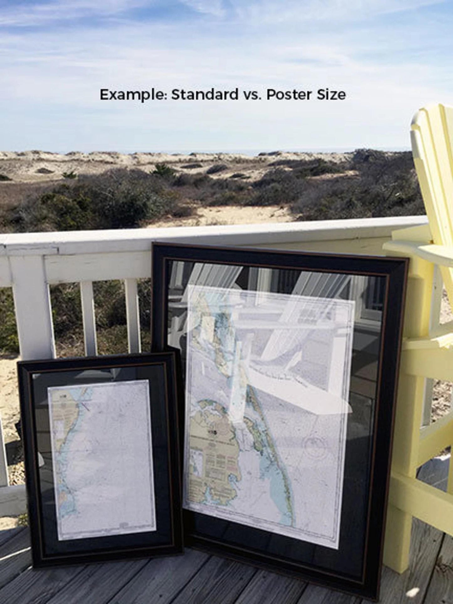
This beautiful framed mapping comes in two sizes to fit your space perfectly:
- Standard size: outer frame dimensions approximately 17 1/4" W x 24" H
- Poster size: outer frame dimensions approximately 26" W x 36" H
If you're interested in a different frame option, please don’t hesitate to reach out with your request. We're eager to collaborate with you and can create a customized frame that aligns with your vision.
*Important Shipping Note: Enjoy free ground shipping on orders shipped within the 48 contiguous states. While we don’t apply additional shipping costs, please contact us for custom shipping quotes to Alaska and Hawaii due to their higher shipping expenses.
Share