Framed Nautical Charts
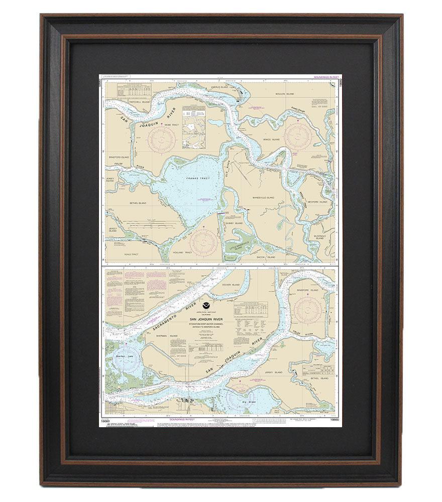
Framed Nautical Chart 18660 - San Joaquin River. Stockton Deep Water Channel, Antioch to Medford Island. NOAA 18660. Handmade in the USA.
Framed Nautical Chart 18660 - San Joaquin River. Stockton Deep Water Channel, Antioch to Medford Island. NOAA 18660. Handmade in the USA.
Couldn't load pickup availability
Discover the beauty of the San Joaquin River with this exquisite Framed Nautical Map, showcasing the Stockton Deep Water Channel from Antioch to Medford Island. This official NOAA Nautical Chart captures the intricate details of these stunning waterways, making it a perfect addition for boating enthusiasts or anyone who appreciates maritime artistry.
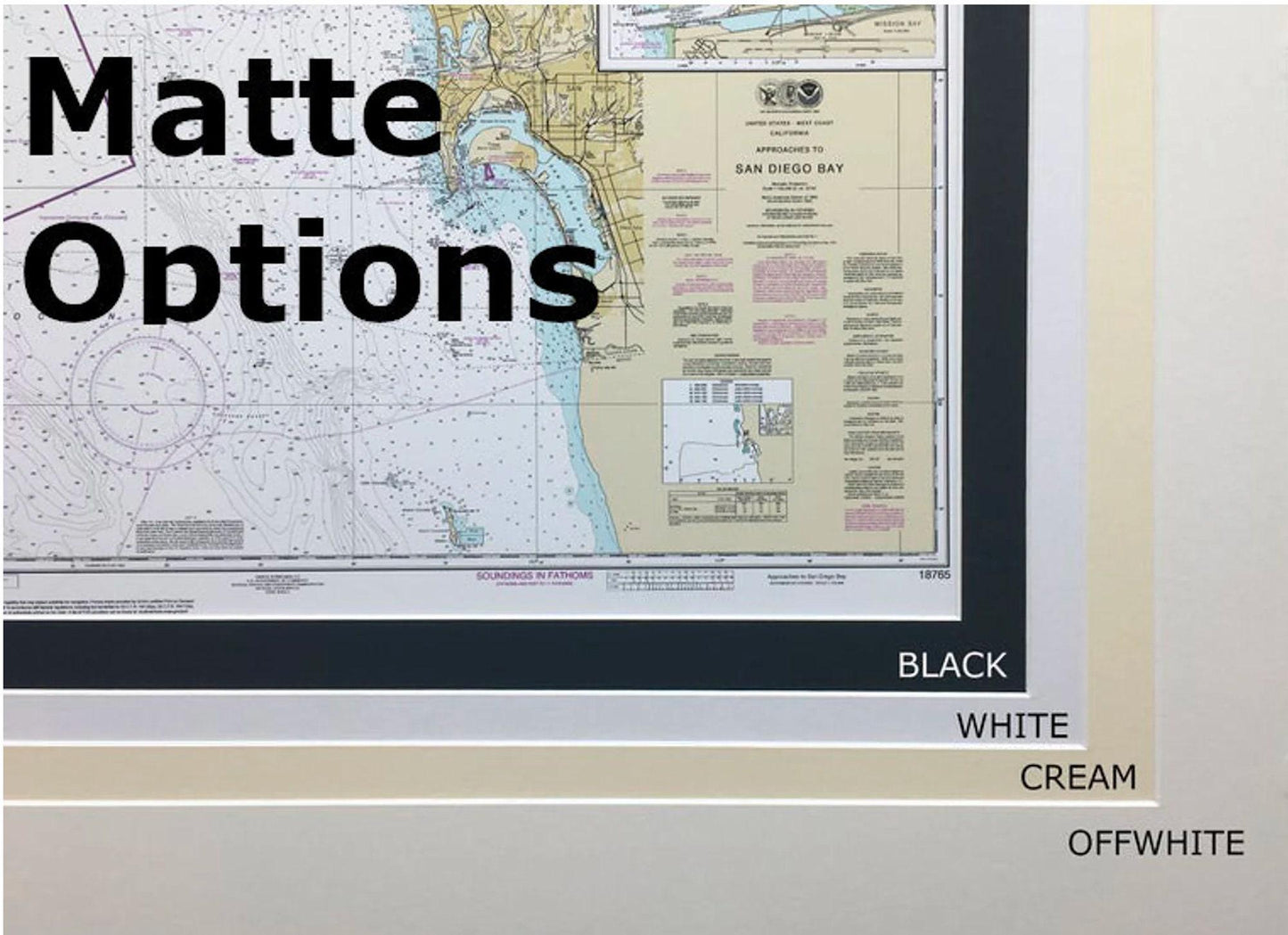
Handcrafted in the USA, each chart reflects exceptional standards of craftsmanship. The nautical map is elegantly presented in a solid wood frame and features a museum-quality print created with archival paper and inks. To enhance its aesthetic, the chart is complemented by a classic black mat and protected behind a glass front. The back is neatly finished with a paper duster, and a wire hanger is included for easy installation.
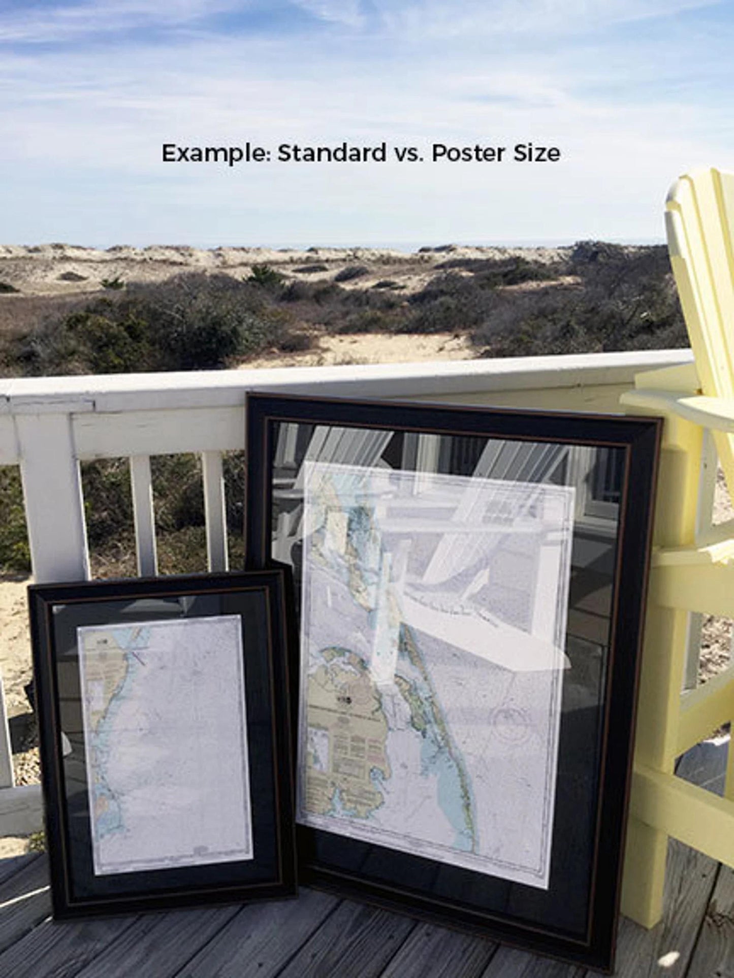
This framed chart is available in two sizes:
- Standard size: outer frame dimensions approximately 24" H x 15 3/4" W
- Poster size: outer frame dimensions approximately 36" H x 23 3/4" W
If you're interested in a different frame size or style, please don't hesitate to reach out with your specifications. We welcome any sample photos you may have, as they will help us bring your vision to life.
*Important Shipping Note: Free ground shipping is available for customers in the 48 contiguous states. We do not increase shipping costs. However, due to the elevated shipping expenses to Alaska and Hawaii, please contact us for custom shipping quotes.
Share