Framed Nautical Charts
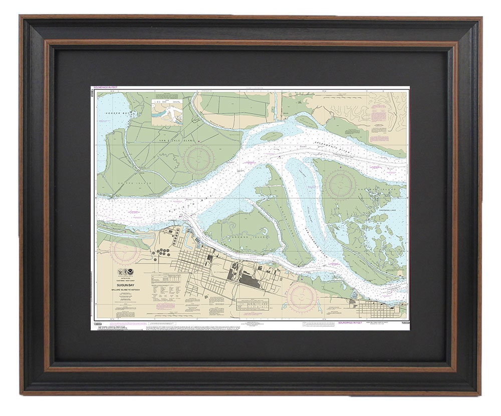
Framed Nautical Chart 18659 - Suisun Bay. Mallard Island to Antioch. NOAA 18659. Handmade in the USA.
Framed Nautical Chart 18659 - Suisun Bay. Mallard Island to Antioch. NOAA 18659. Handmade in the USA.
Couldn't load pickup availability
Discover the beauty of Suisun Bay with our exquisite Framed Nautical Chart, featuring detailed coverage from Mallard Island to Antioch (NOAA Chart 18659). This official NOAA nautical map is a stunning representation of the waterways in Suisun Bay, expertly crafted in the USA. Each piece is custom handmade, ensuring exceptional quality and attention to detail.
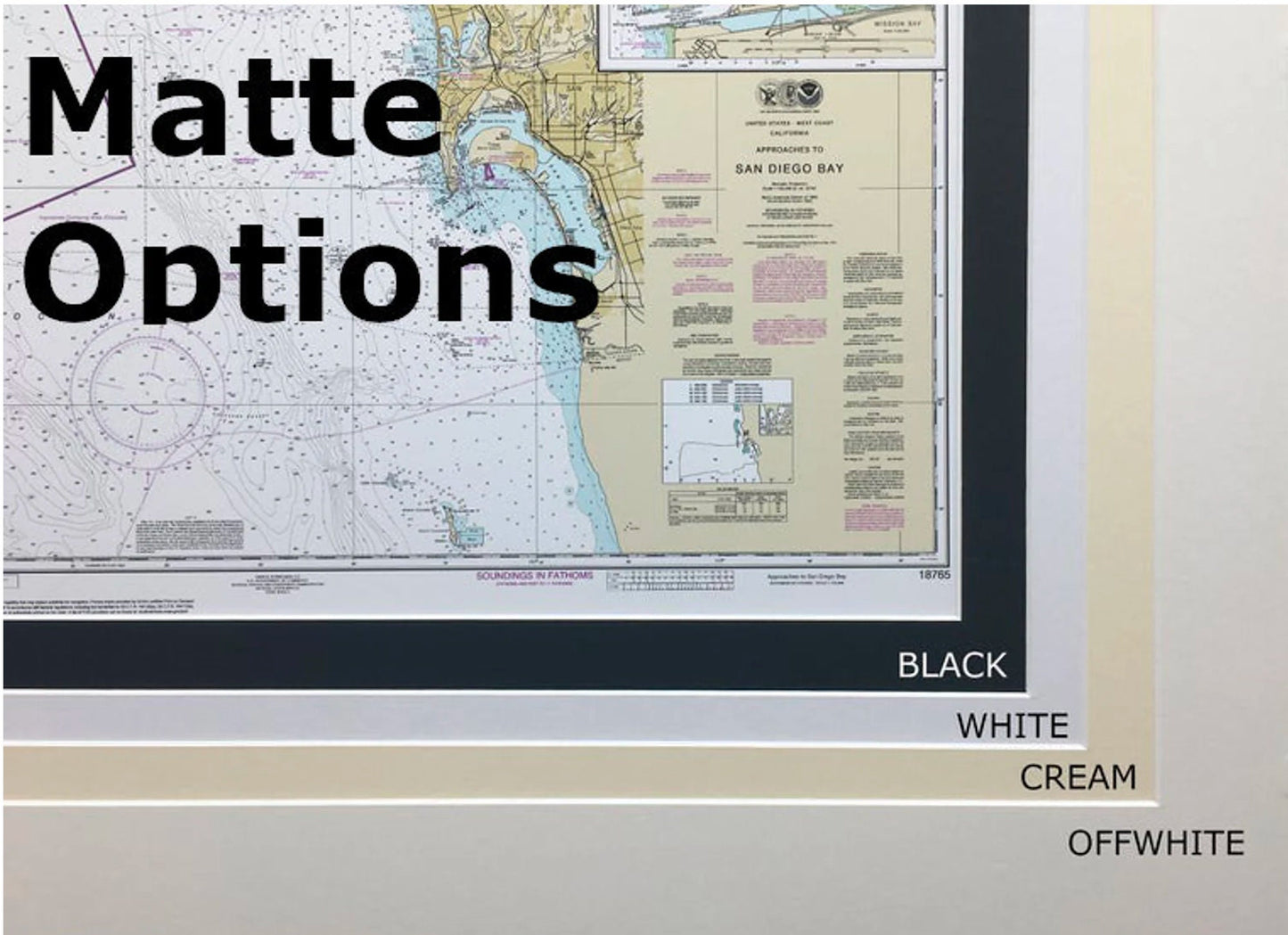
The chart is elegantly presented in a solid wood frame, complemented by a museum-quality print made from archival paper and inks. It features a sophisticated black mat and is protected by a glass front, ensuring that your chart remains vibrant and safe over time. The back is finished with a paper duster for a clean look, and it includes a sturdy wire hanger for effortless installation.
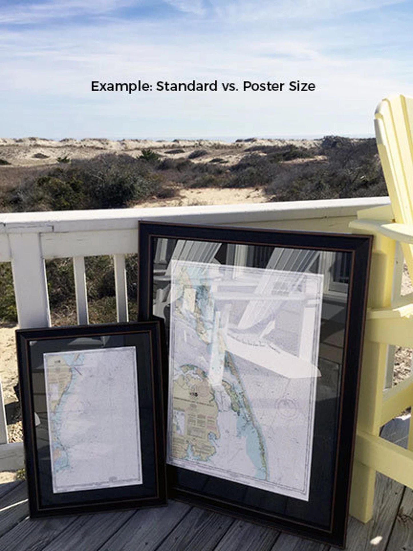
Available in two convenient sizes, the framed chart fits seamlessly into any home or office decor:
- Standard size: Outer frame dimensions are approximately 24" W x 18 1/2" H.
- Poster size: Outer frame dimensions are approximately 36" W x 27 3/4" H.
Enjoy free ground shipping on your order, applicable only within the 48 contiguous states. As we strive to provide the best shipping experience, please note that additional shipping costs may apply for Alaska and Hawaii. If you have a specific frame option in mind or sample photos to share, don’t hesitate to reach out to us—we are excited to help bring your vision to life!
Share