Framed Nautical Charts
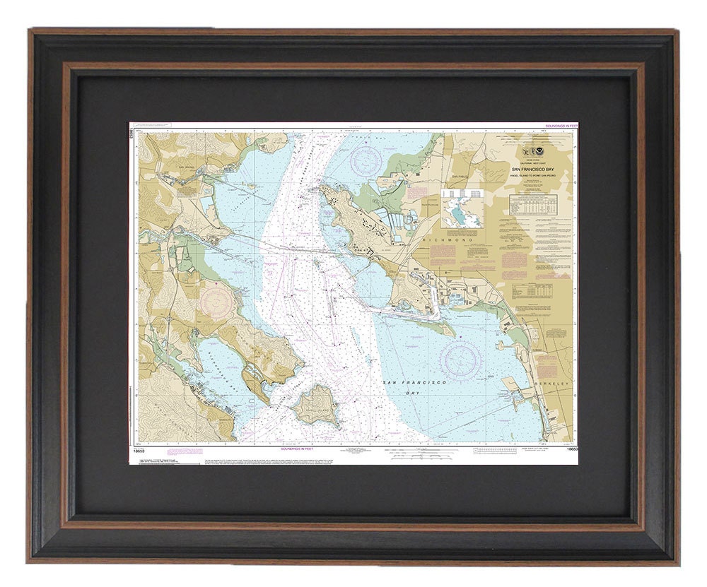
Framed Nautical Chart 18653 - San Francisco Bay-Angel Island to Point San Pedro. NOAA 18653. Handmade in the USA.
Framed Nautical Chart 18653 - San Francisco Bay-Angel Island to Point San Pedro. NOAA 18653. Handmade in the USA.
Couldn't load pickup availability
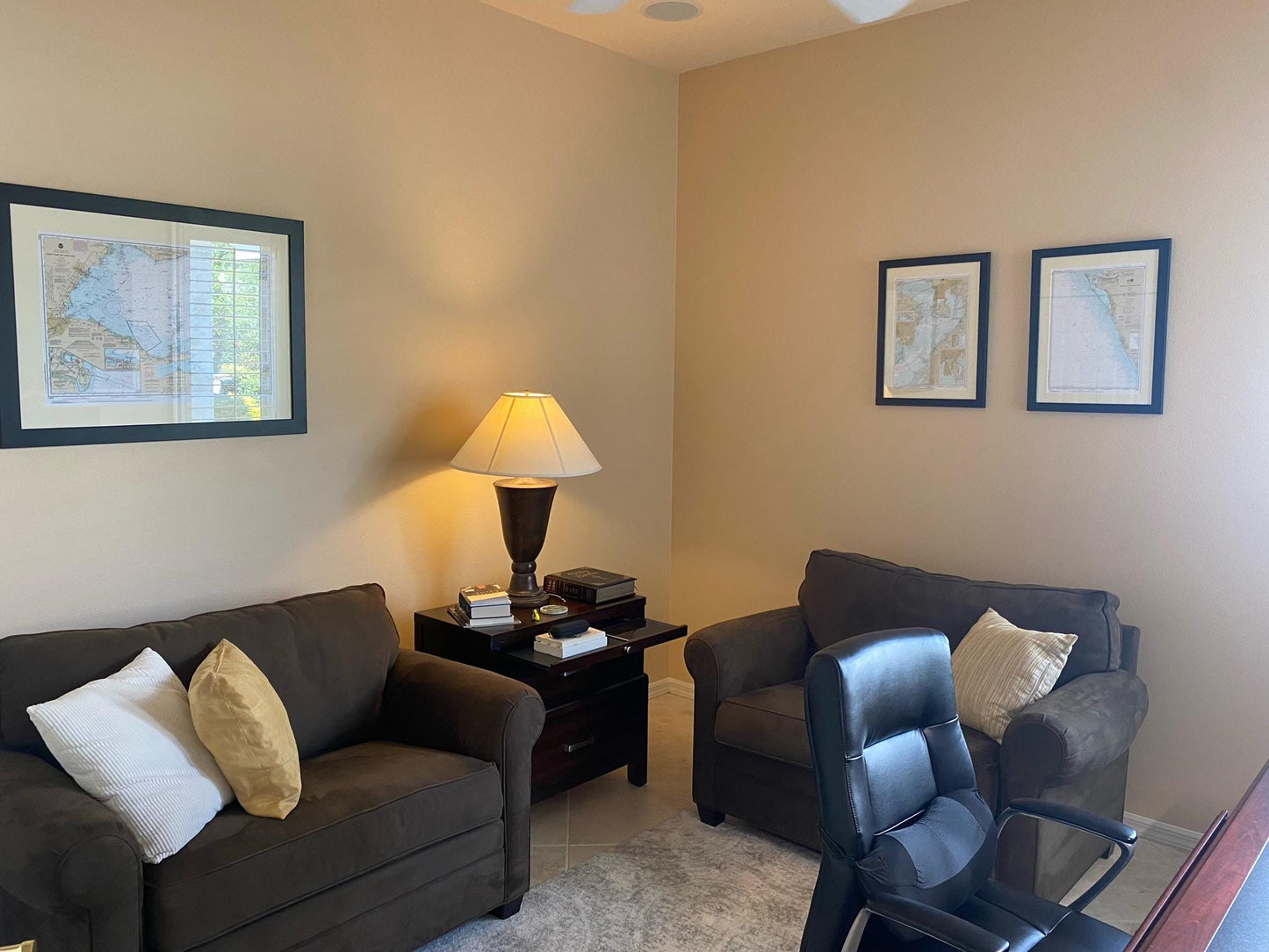
Discover the elegance of our Framed Nautical Chart, showcasing the stunning waters of San Francisco Bay from Angel Island to Point San Pedro. This official NOAA Nautical Chart is meticulously crafted to detail the unique waterways within the iconic San Francisco Bay. Each piece is custom handmade in the USA, exemplifying superior craftsmanship and attention to detail.
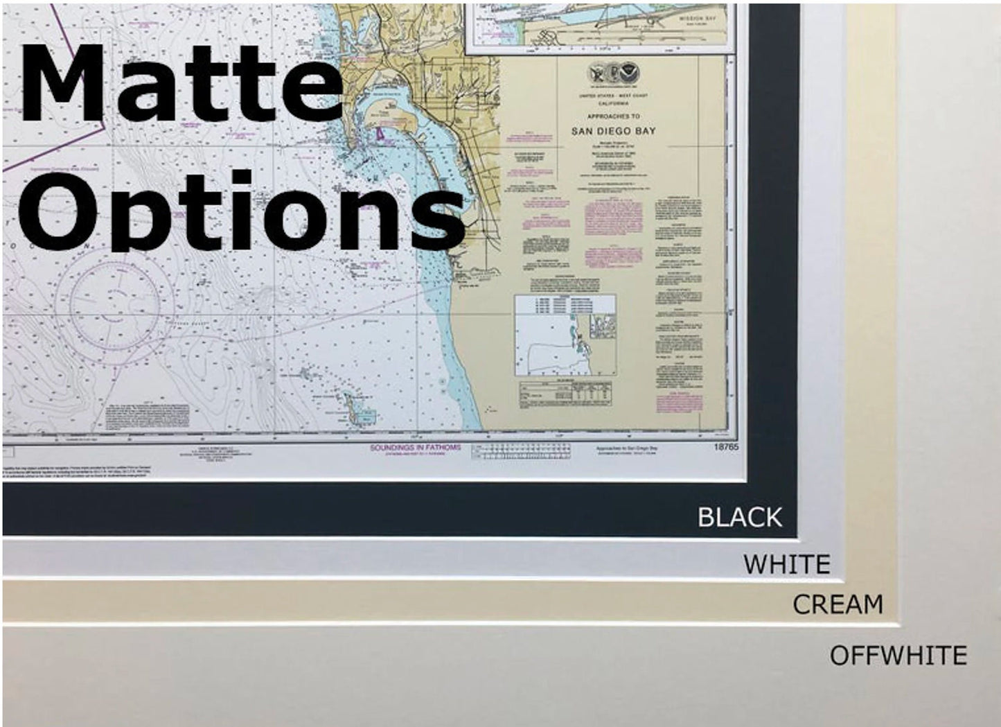
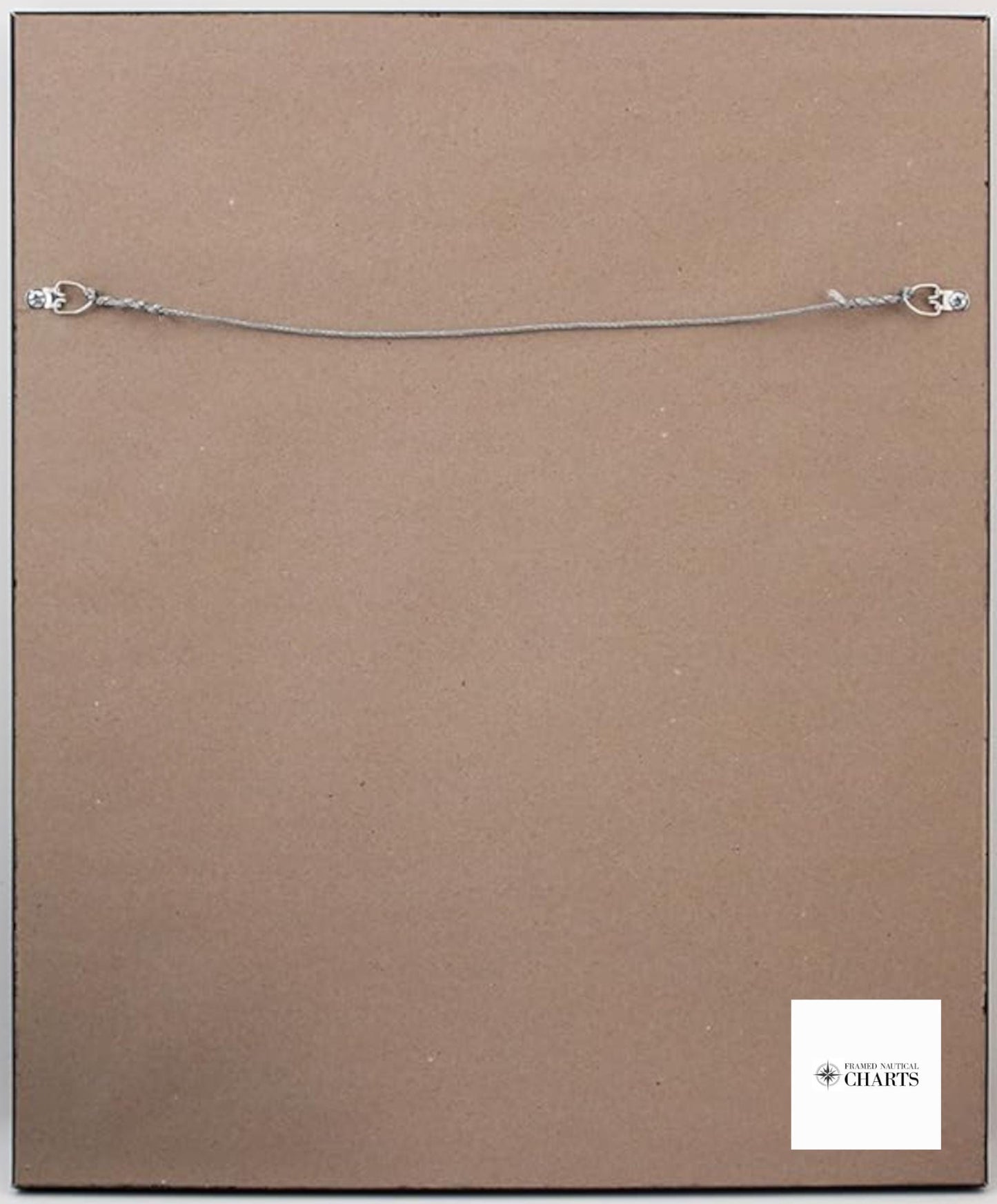
The chart is beautifully presented in a solid wood frame and features a museum-quality print created on archival paper using premium inks. Its design includes a sophisticated black mat and is protected by a clear glass front, ensuring durability and longevity. The back is finished with a paper duster for a polished look and comes equipped with a wire hanger for easy installation.
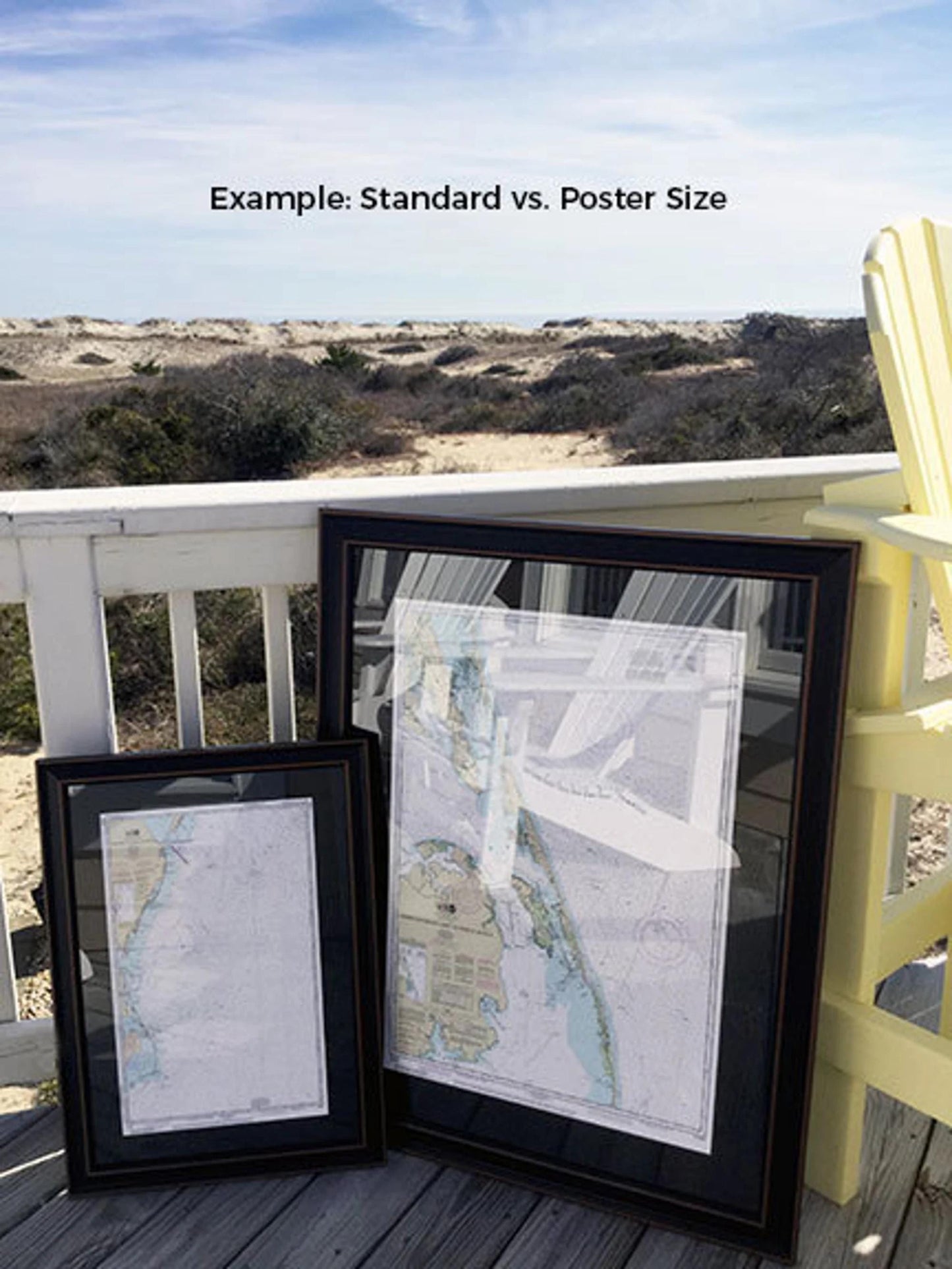
We offer two frame sizes to suit your needs:
- Standard Size: Outer frame dimensions approximately 24" W x 18 3/4" H
- Poster Size: Outer frame dimensions approximately 36" W x 28" H
If you have specific framing requests or would like to explore different options, please don’t hesitate to contact us with your ideas or sample photos. We’re here to help you create the perfect custom piece.
*Important Shipping Note: Free ground shipping is available for orders within the 48 contiguous states. We do not add any markups to shipping costs, but due to the high expense of shipping to Alaska and Hawaii, please reach out for customized shipping quotes.
Share