Framed Nautical Charts
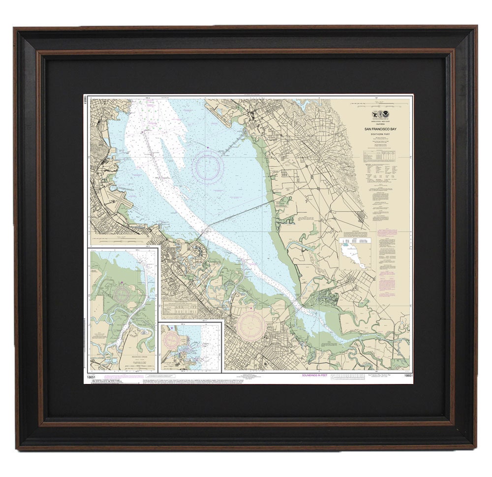
Framed Nautical Chart 18651 - San Francisco Bay - Southern Part.Redwood Creek. Oyster Point. NOAA 18651. Handmade in the USA.
Framed Nautical Chart 18651 - San Francisco Bay - Southern Part.Redwood Creek. Oyster Point. NOAA 18651. Handmade in the USA.
Couldn't load pickup availability
Discover the beauty of the southern San Francisco Bay with this exquisite framed nautical chart featuring Redwood Creek and Oyster Point. Officially produced by NOAA, this nautical map is a detailed representation of the area's waterways, capturing the essence of this iconic region. Each chart is custom handcrafted in the USA, showcasing exceptional craftsmanship and quality.
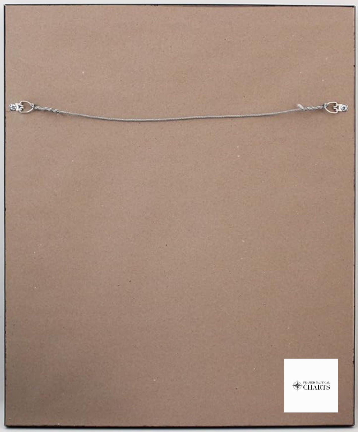
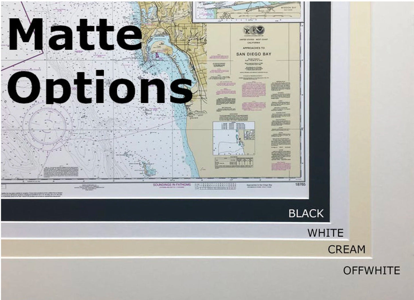
Presented in a solid wood frame, this chart is complemented by a museum-quality print made from archival paper and inks, ensuring durability and vibrancy. The design includes a classic black mat and is protected by a glass front, making it a striking addition to any space. The back is elegantly finished with a paper duster, and a wire hanger is provided for easy installation.
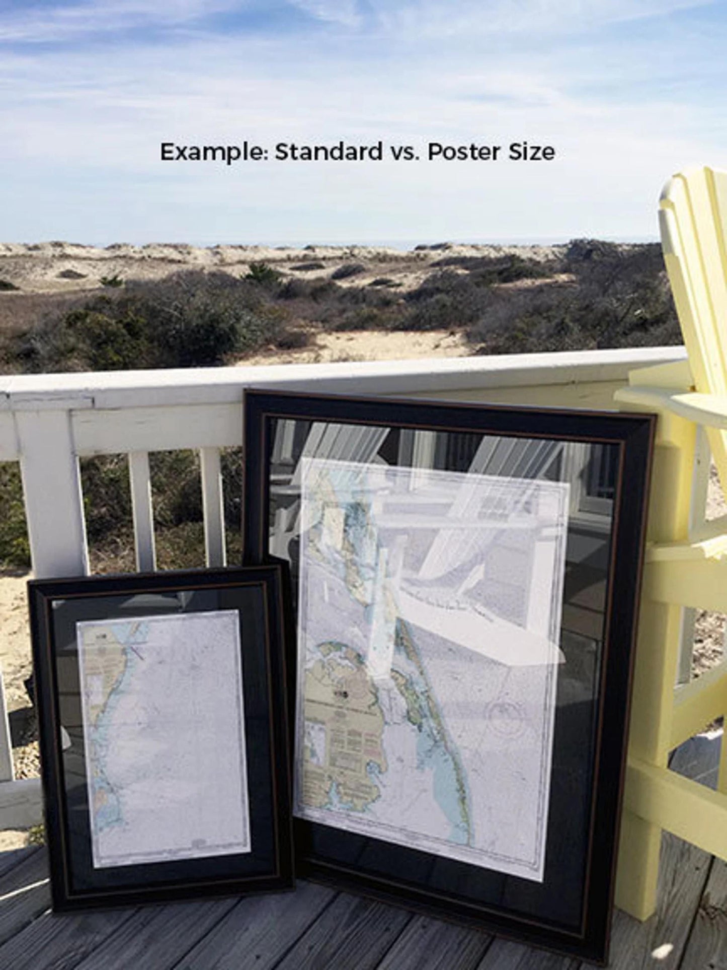
Choose from two sizes to fit your needs:
- Standard Size: outer frame dimensions approximately 24" W x 18" H
- Poster Size: outer frame dimensions approximately 36" W x 27 1/4" H
If you're looking for a custom frame option, please don't hesitate to reach out with your request. We welcome any sample photos to help us bring your vision to life.
*Important Shipping Note: Free ground shipping is available for deliveries within the 48 contiguous states. While we do not add any additional markup on shipping, please contact us for custom shipping quotes for Alaska and Hawaii due to the higher costs involved.
Share