Framed Nautical Charts
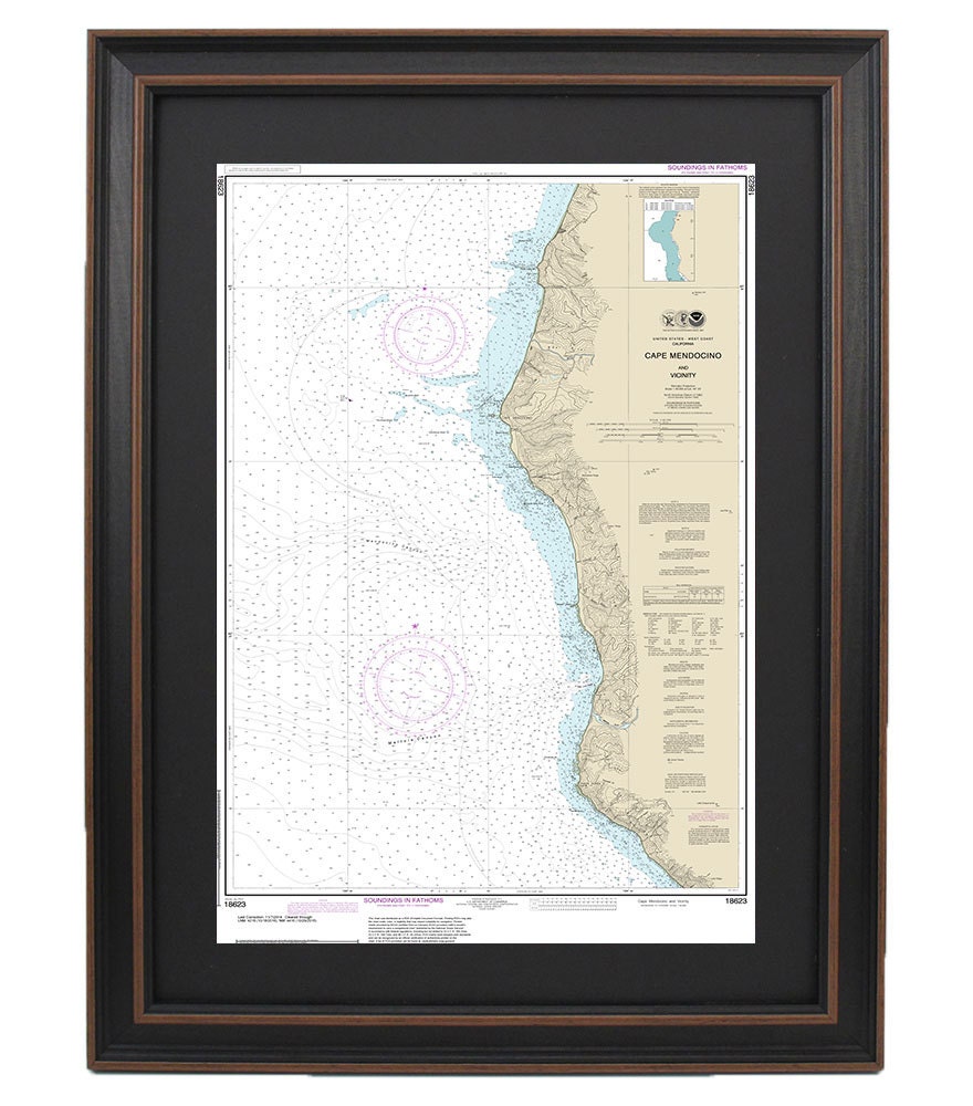
Framed Nautical Chart 18623 - Cape Mendocino and Vicinity. NOAA 18623. Handmade in the USA.
Framed Nautical Chart 18623 - Cape Mendocino and Vicinity. NOAA 18623. Handmade in the USA.
Couldn't load pickup availability
This beautifully framed nautical map showcases Cape Mendocino and its stunning coastal waters, capturing the essence of California's maritime charm. As the official NOAA Nautical Chart 18623, it provides detailed information about these picturesque waters, making it a perfect addition for navigators, sea lovers, and art enthusiasts alike.
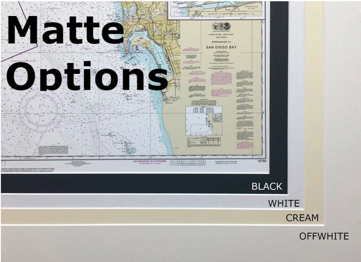
Each map is meticulously handmade in the USA, ensuring high standards of craftsmanship. It is presented in a solid wood frame, and features a museum-quality print created with archival paper and inks to preserve its vibrant colors and intricate details. Additionally, the chart is enhanced by a classic black mat and is protected by a glass front, ensuring durability and longevity.
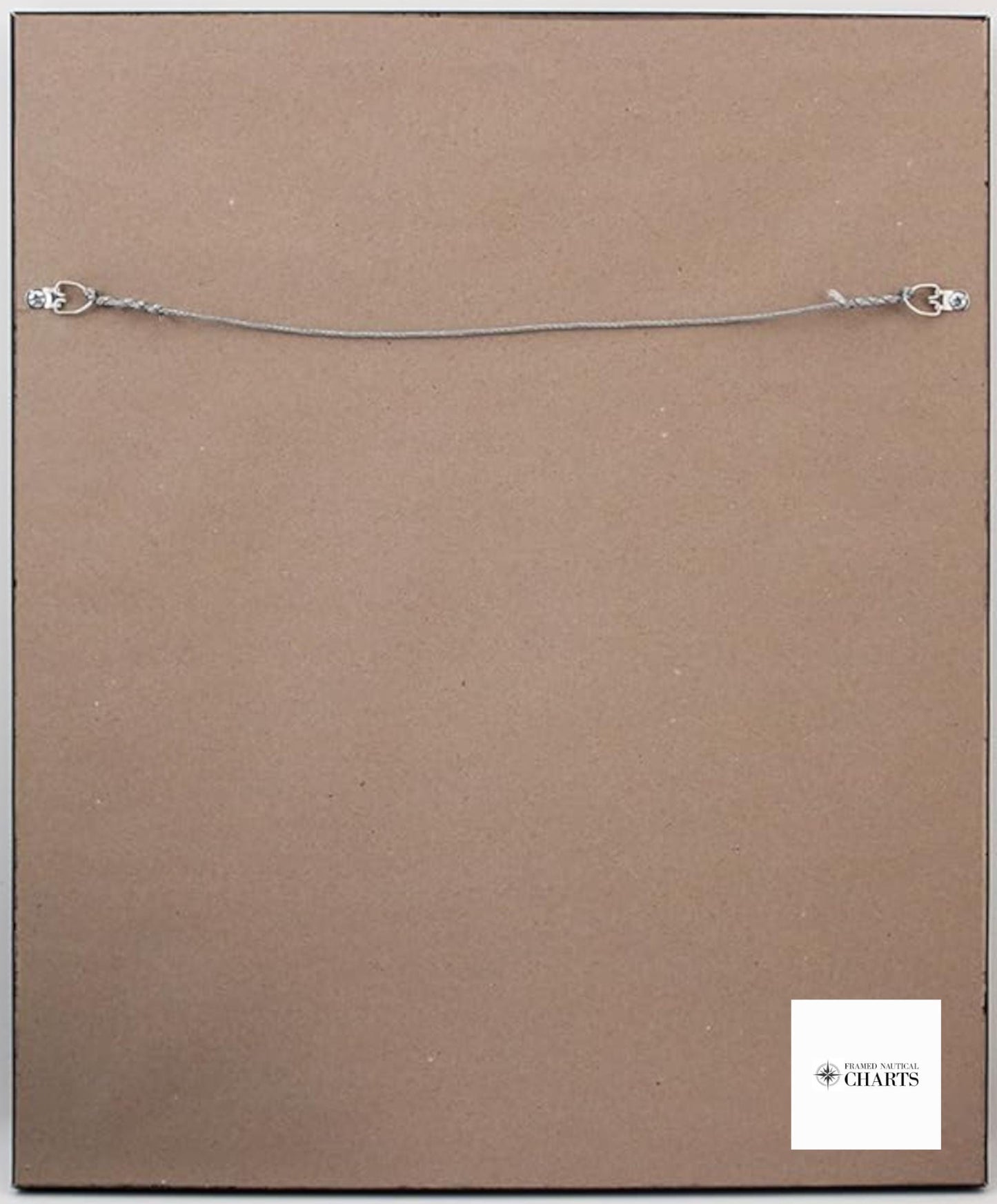
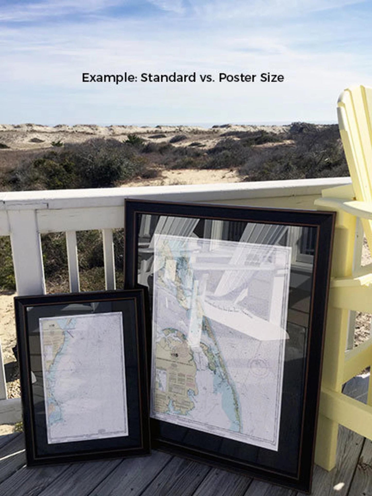
The back of the frame is finished with a paper duster, and a wire hanger is included for easy installation. Our framed nautical charts are available in two sizes to suit your space:
- Standard size: outer frame dimensions approximately 24" H x 15" W
- Poster size: outer frame dimensions approximately 36" H x 23 1/2" W
If you have a specific frame style in mind or would like to discuss customization options, please feel free to reach out to us with your requests. We are happy to collaborate and bring your vision to life.
*Important Shipping Note: We offer free ground shipping for orders within the 48 contiguous states, with no additional markup on shipping costs. For orders shipping to Alaska and Hawaii, please contact us for custom shipping quotes to accommodate the higher shipping fees.
Share