Framed Nautical Charts
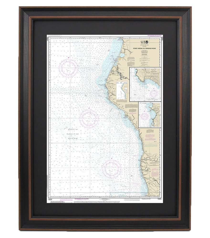
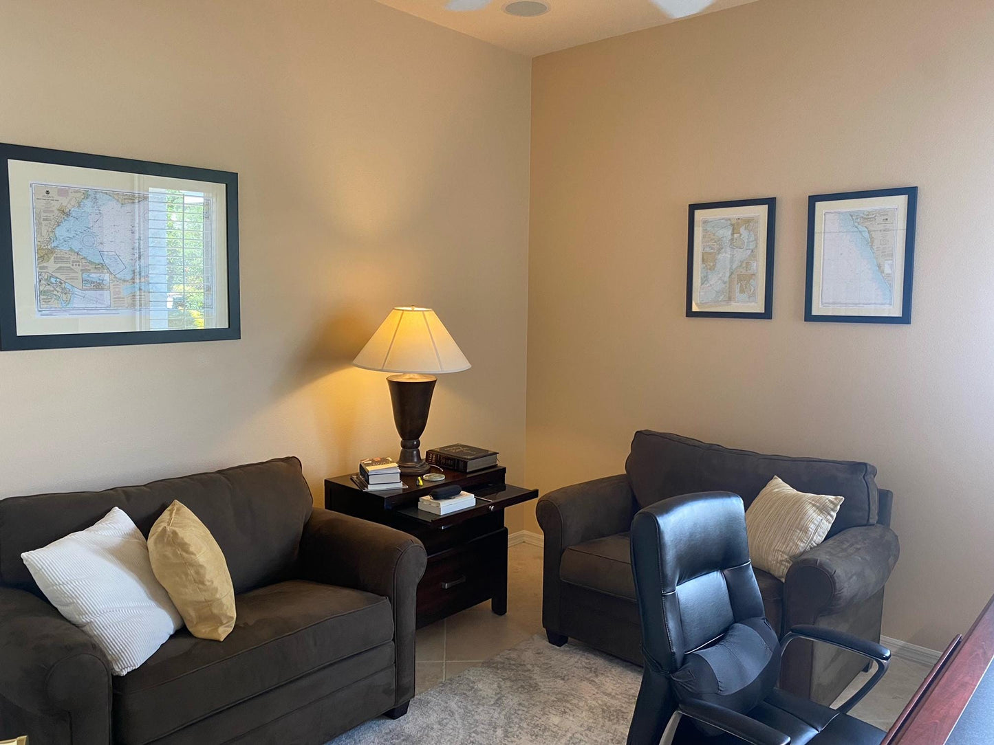
Framed Nautical Chart 18620 - Point Arena to Trinidad Head. Rockport Landing. Shelter Cove. NOAA 18620. Handmade in the USA.
Framed Nautical Chart 18620 - Point Arena to Trinidad Head. Rockport Landing. Shelter Cove. NOAA 18620. Handmade in the USA.
Couldn't load pickup availability
Discover the stunning beauty of California's coastline with our Framed Nautical Chart, featuring the waters from Point Arena to Trinidad Head, including Rockport Landing and Shelter Cove. This officially licensed NOAA Nautical Chart is meticulously handmade in the USA, showcasing exceptional craftsmanship.
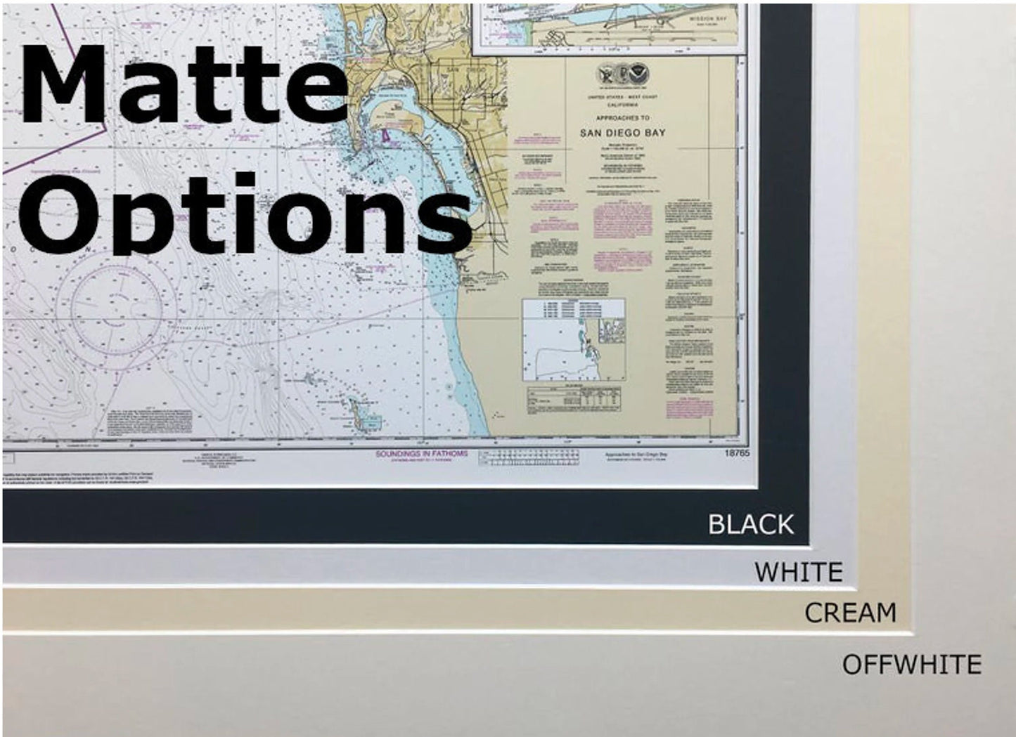
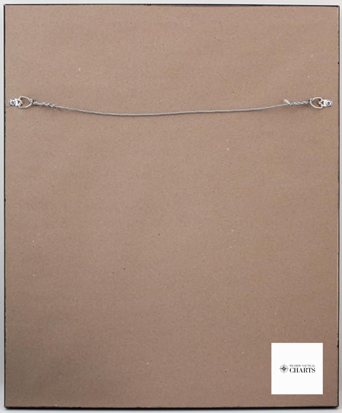
Each chart is beautifully displayed within a solid wood frame, complemented by a museum-quality print crafted from archival paper and inks for durability and vibrancy. The piece is enhanced with a sleek black mat and safeguarded by a glass front, ensuring it remains a stunning addition to your home or office decor. The back is elegantly finished with a paper duster and includes a wire hanger for easy installation.
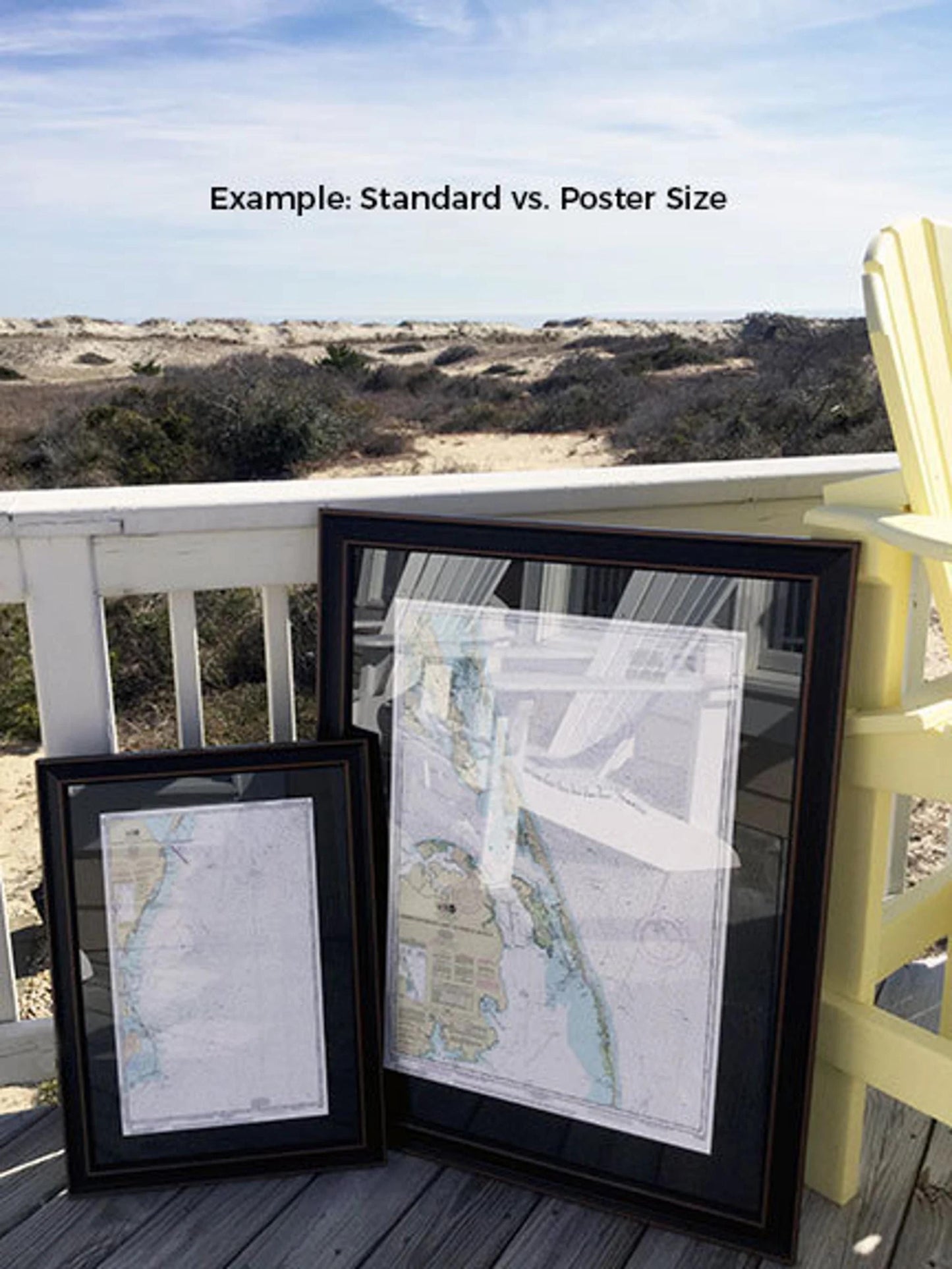
Available in two sizes to suit your space:
- Standard size: approximate outer frame dimensions of 24" H x 16" W
- Poster size: approximate outer frame dimensions of 36" H x 24" W
Your purchase includes free ground shipping within the 48 contiguous states*. We strive to keep shipping costs transparent, and while we do not mark up additional fees, please note that shipping to Alaska and Hawaii may incur higher costs. For these locations, we encourage you to contact us for a custom shipping quote.
If you're looking for a different frame option, we'd love to hear from you! Feel free to share any sample photos or ideas you have in mind, and we'll work with you to create the perfect piece. Experience the charm of nautical decor with this exquisite chart, handcrafted just for you.
Share