Framed Nautical Charts
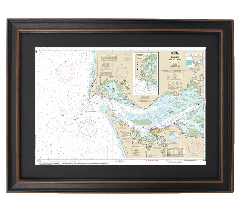
Framed Nautical Chart 18521 - Columbia River. Pacific Ocean to Harrington Point. Ilwaco Harbor. NOAA 18521. Handmade in the USA.
Framed Nautical Chart 18521 - Columbia River. Pacific Ocean to Harrington Point. Ilwaco Harbor. NOAA 18521. Handmade in the USA.
Couldn't load pickup availability
Discover the beauty of Oregon's waterways with our Framed Nautical Chart, NOAA 18521, featuring the Columbia River, Pacific Ocean to Harrington Point, and Ilwaco Harbor. This exquisite piece is the official NOAA Nautical Chart, meticulously detailing the stunning marine landscapes of the region. Each chart is handcrafted in the USA, showcasing exceptional quality and craftsmanship.
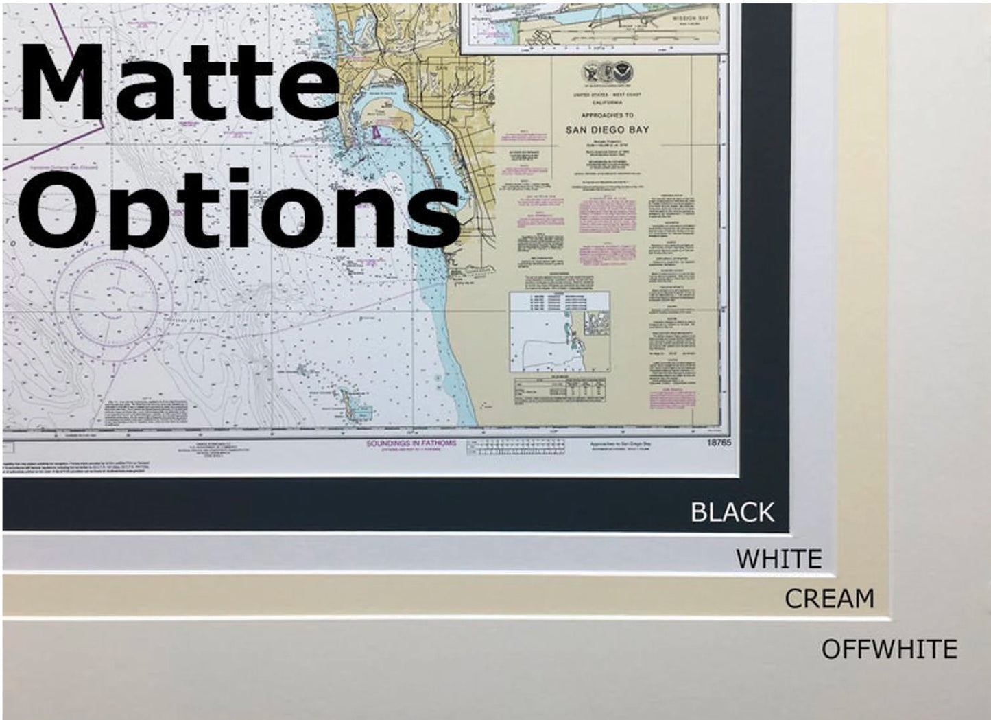
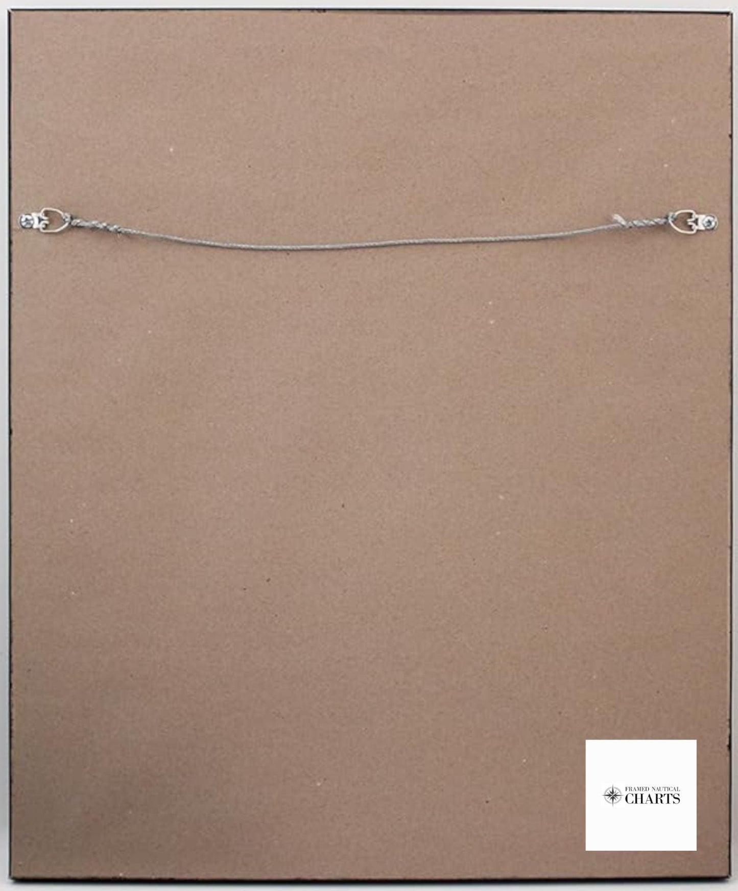
Our framed nautical chart comes in a solid wood frame, complemented by a museum-quality print made from archival paper and vibrant inks, ensuring durability and visual appeal. The chart is elegantly presented with a black mat and is protected by a glass front, enhancing its sophistication. The back is finished with a paper duster for a polished look and includes a wire hanger for easy display.
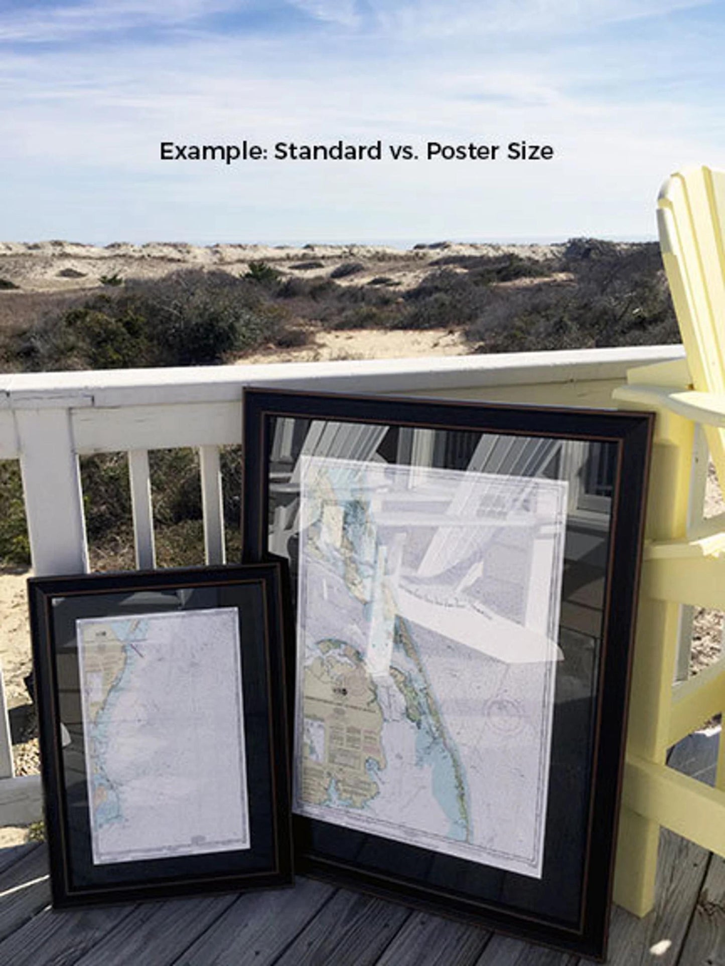
Choose from two sizes to fit your space perfectly:
- Standard Size: Outer frame dimensions approximately 16 1/4" H x 24" W
- Poster Size: Outer frame dimensions approximately 24 1/2" H x 36" W
Enjoy FREE ground shipping within the contiguous 48 states*. If you have a specific frame style in mind, we invite you to reach out with your preferences or sample photos to help us create your vision.
*Please note that free ground shipping is only applicable to the 48 contiguous states. For shipping to Alaska and Hawaii, contact us for custom shipping quotes as additional costs may apply.
Share