Framed Nautical Charts
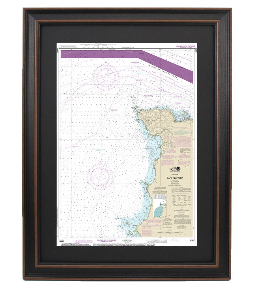
Framed Nautical Chart 18485 - Cape Flattery. NOAA 18485. Handmade in the USA.
Framed Nautical Chart 18485 - Cape Flattery. NOAA 18485. Handmade in the USA.
Couldn't load pickup availability
Explore the breathtaking waters of Cape Flattery with this exquisite Framed Nautical Chart, NOAA 18485. This official nautical map, a masterpiece of craftsmanship, intricately details the stunning waterways along the Washington coast. Each chart is thoughtfully handmade in the USA, showcasing meticulous attention to detail and superior quality.
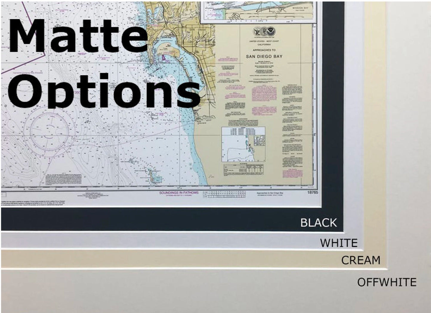
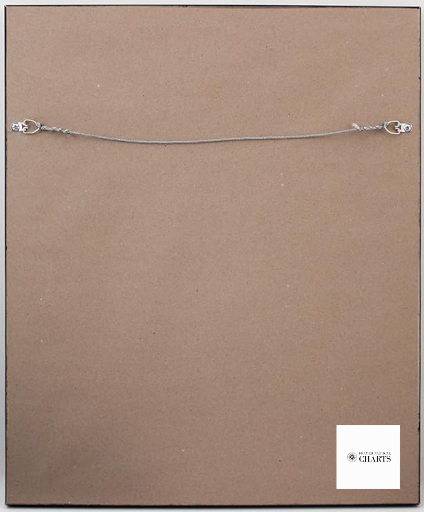
Presented in a solid wood frame, this nautical chart features a museum-quality print crafted from archival paper and inks, ensuring longevity and vibrant colors. The design is enhanced by a sophisticated black mat, and the chart is protected by a glass front to preserve its beauty. The back is elegantly finished with a paper duster, and a wire hanger is included for easy installation.
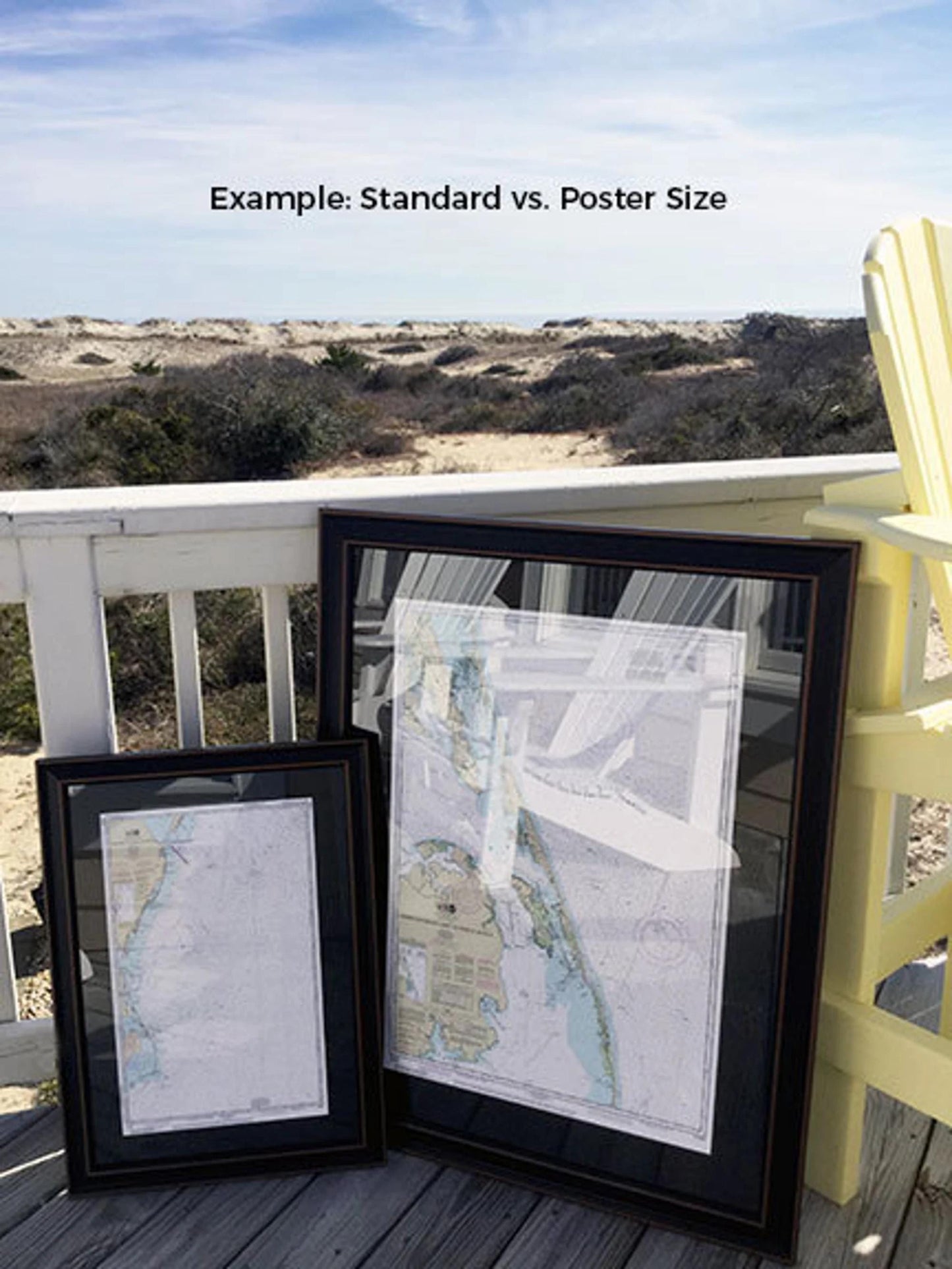
Frames are available in two sizes to best fit your space:
- Standard size: Outer frame dimensions are approximately 16 1/2" W x 24" H.
- Poster size: Outer frame dimensions are approximately 25" W x 36" H.
If you're interested in a different frame option, please reach out to us with your request. We would love to see any sample photos you may have to help us create the perfect piece for you.
*Important Shipping Note: Free ground shipping is available for shipments to the 48 contiguous states. We do not mark up additional shipping costs; however, due to the elevated shipping rates to Alaska and Hawaii, please contact us for a custom shipping quote.
Share