Framed Nautical Charts
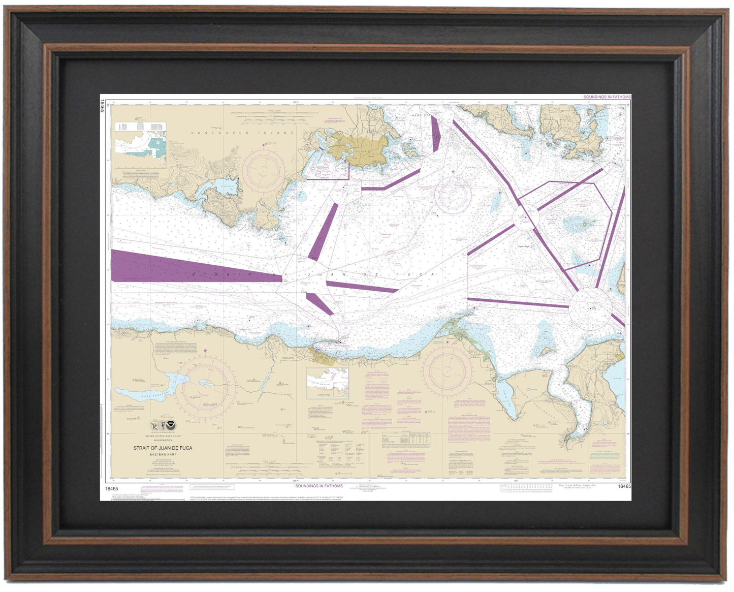
Framed Nautical Chart 18465 - Strait of Juan de Fuca. Eastern Part. NOAA 18465. Handmade in the USA.
Framed Nautical Chart 18465 - Strait of Juan de Fuca. Eastern Part. NOAA 18465. Handmade in the USA.
Couldn't load pickup availability
This beautifully framed nautical map showcases the Eastern Part of the Strait of Juan de Fuca, along with numerous surrounding islands and landmasses in Washington State. As an official NOAA Nautical Chart, it offers detailed insights into the waterways and islands, featuring notable locations such as San Juan Island and Lopez Island, as well as the Port of Angeles, among others.
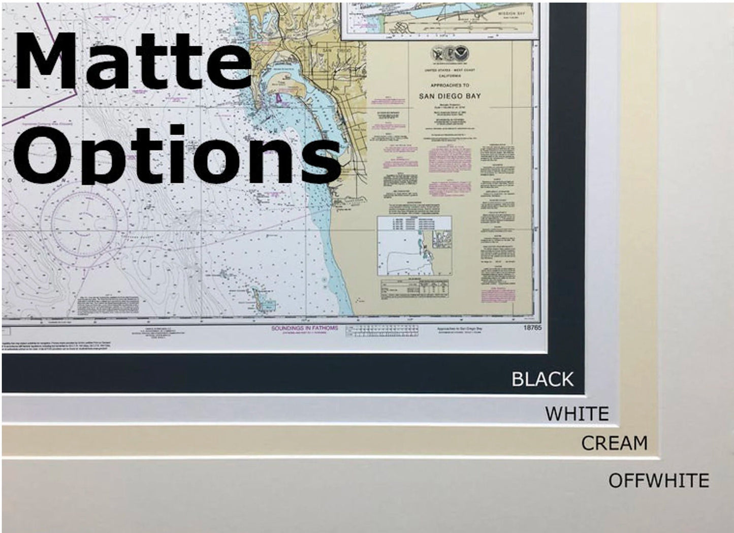
Each chart is meticulously handcrafted in the USA, reflecting a commitment to high craftsmanship standards. The map is presented in a solid wood frame, complemented by a museum-quality print made from archival paper and inks. It includes a classic black mat and is protected by a glass front for durability and clarity. The back is finished with a paper duster for a polished look, and a wire hanger is provided for easy installation.
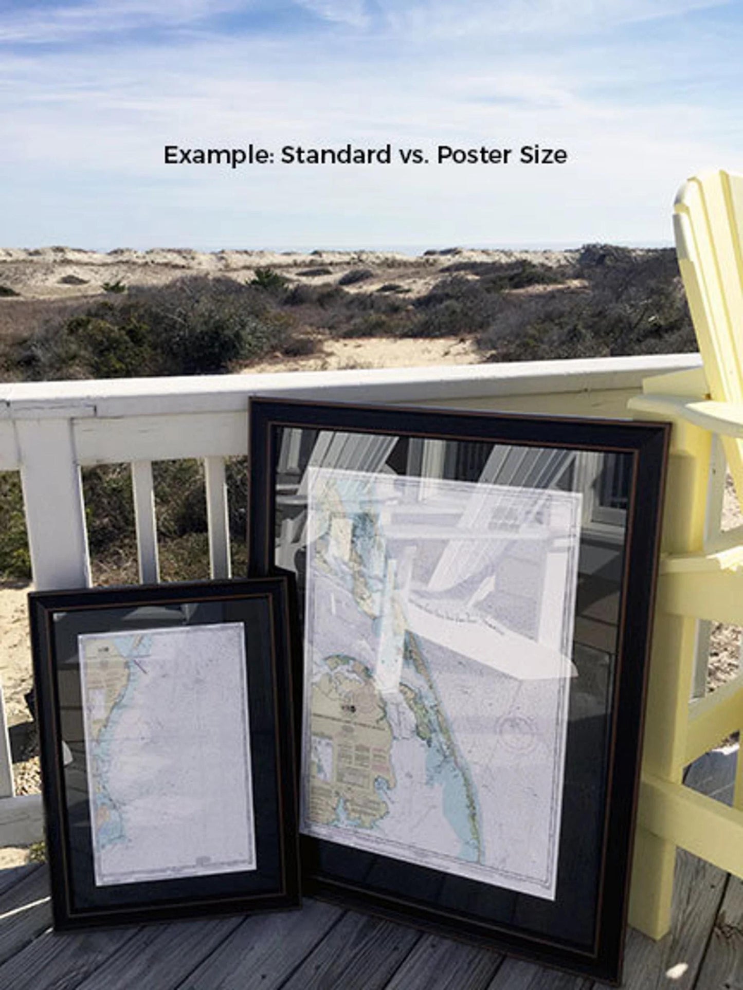
We offer two frame sizes for this nautical chart:
- Standard size: outer frame dimensions approximately 18.25" H x 24" W
- Poster size: outer frame dimensions approximately 27.5" H x 36" W
If you're interested in a different framing option, please don't hesitate to reach out with your request. We welcome any sample photos you may have to help us bring your vision to life.
*Important Shipping Note: Free ground shipping is available only for orders within the 48 contiguous states. We do not inflate shipping costs, but due to the higher expenses associated with shipping to Alaska and Hawaii, please contact us for a custom shipping quote.
Share