Framed Nautical Charts
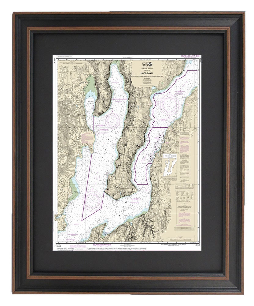
Framed Nautical Chart 18458 - Hood Canal. South Point to Quatsap Point including Dabob Bay. NOAA 18458 Handmade in the USA.
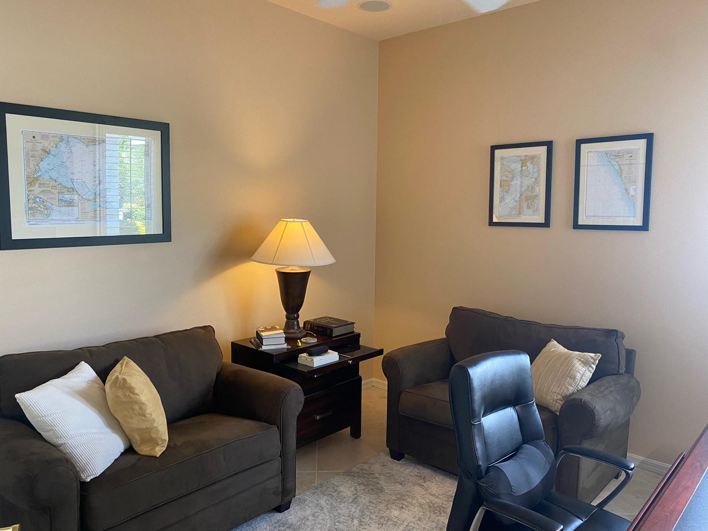
Framed Nautical Chart 18458 - Hood Canal. South Point to Quatsap Point including Dabob Bay. NOAA 18458 Handmade in the USA.
Couldn't load pickup availability
Discover the beauty of Washington State's waterways with our Framed Nautical Chart, showcasing the scenic Hood Canal from South Point to Quatsap Point, including Dabob Bay. This official NOAA Nautical Chart, numbered 18458, is an exquisite representation of these stunning coastal regions.
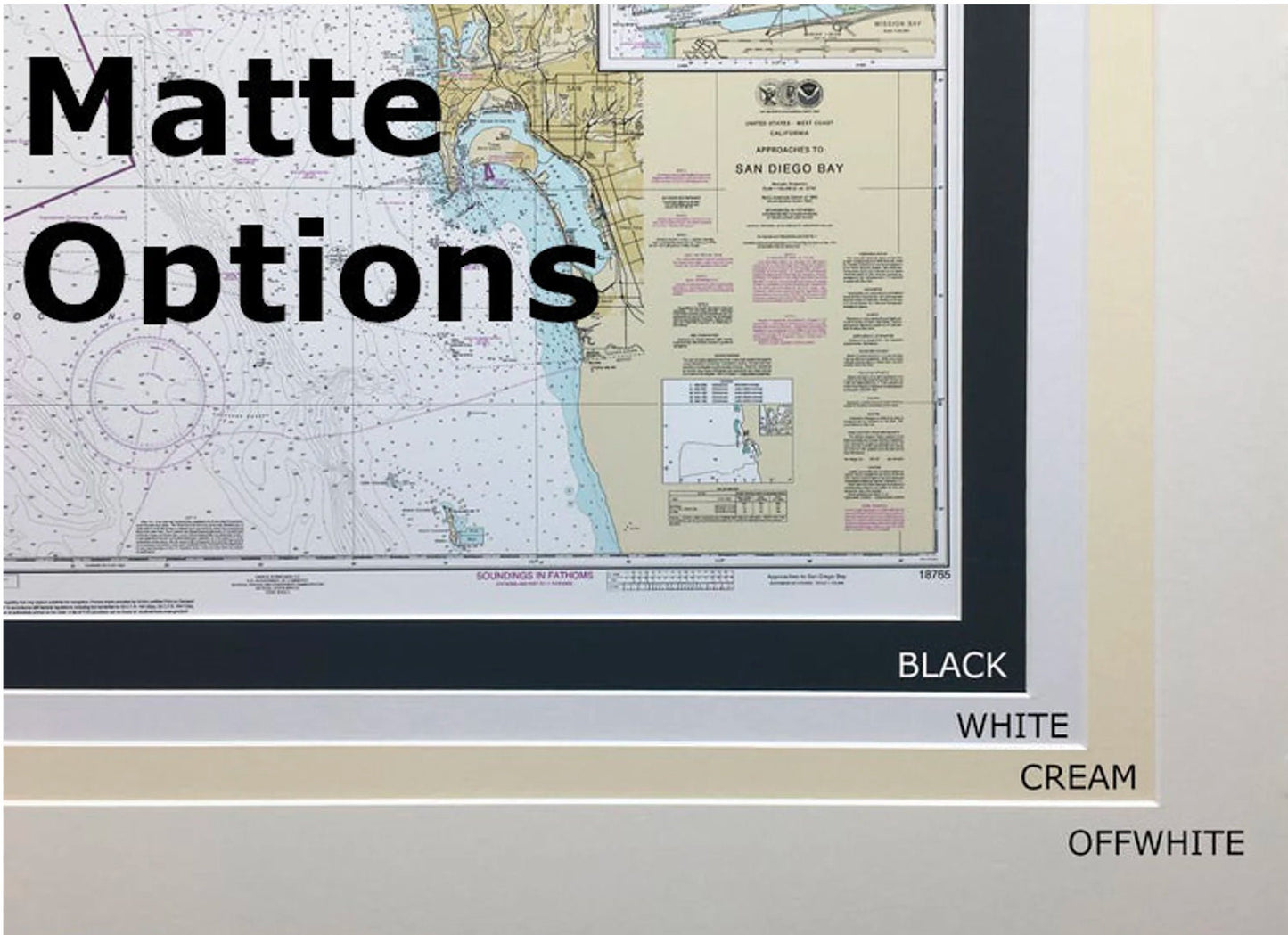
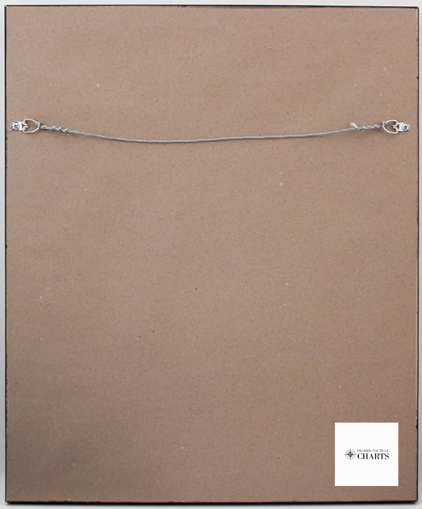
Each chart is custom handmade in the USA, reflecting exceptional craftsmanship and attention to detail. The nautical map is elegantly presented in a solid wood frame and features a museum-quality print created from archival paper and inks. The design includes a sophisticated black mat, and the chart is protected by a glass front for durability and clarity. The back of the frame is finished with a paper duster and comes equipped with a wire hanger for effortless installation.
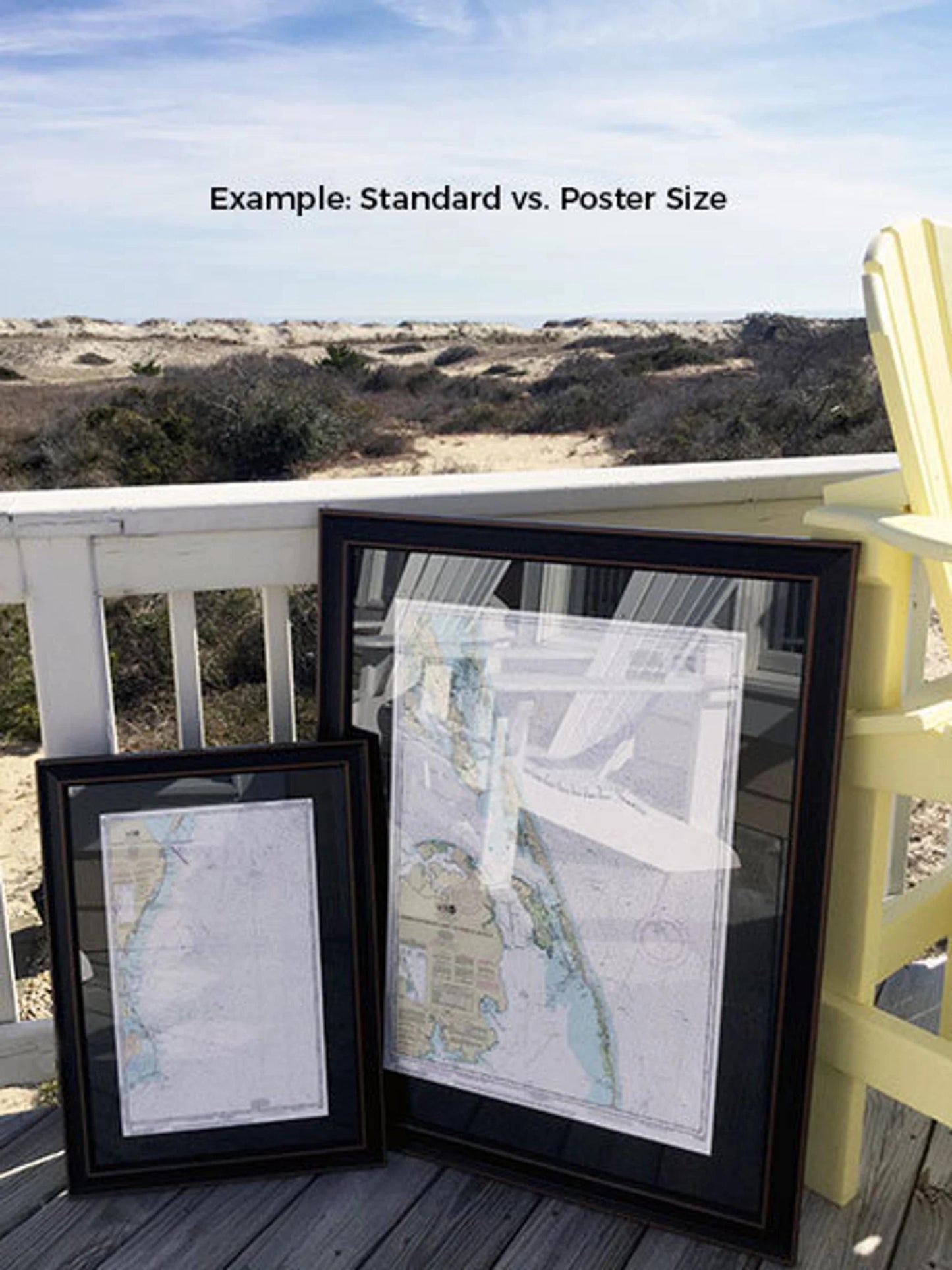
Choose from two frame sizes to best fit your space:
- Standard size: Outer frame dimensions of approximately 24" H x 19 1/4" W.
- Poster size: Outer frame dimensions of approximately 36" H x 29" W.
Enjoy free ground shipping within the 48 contiguous states. If you are interested in alternative frame options, please feel free to reach out with your specific requests. We welcome any sample photos you wish to share to help us bring your vision to life.
*Important Shipping Note: Free ground shipping is available only to the contiguous United States. While we do not impose additional shipping costs, please contact us for custom shipping quotes to Alaska and Hawaii, where shipping expenses may vary significantly.
Share