Framed Nautical Charts
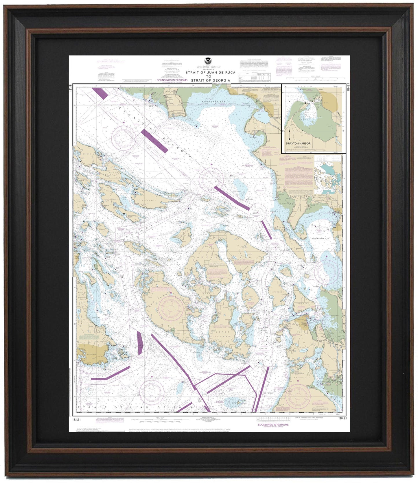
Framed Nautical Chart 18421 - Strait of Juan de Fuca to Strait of Georgia. Drayton Harbor. NOAA 18421. Handmade in the USA.
Framed Nautical Chart 18421 - Strait of Juan de Fuca to Strait of Georgia. Drayton Harbor. NOAA 18421. Handmade in the USA.
Couldn't load pickup availability
This beautifully framed nautical chart of the Strait of Juan de Fuca and the Strait of Georgia, featuring Drayton Harbor, is an official NOAA chart that offers a detailed view of the many islands within the area, including San Juan Island, Orcas Island, Lopez Island, Saturna Island, and Lummi Island, among others. Each chart is expertly handcrafted in the USA, showcasing exceptional quality and craftsmanship.
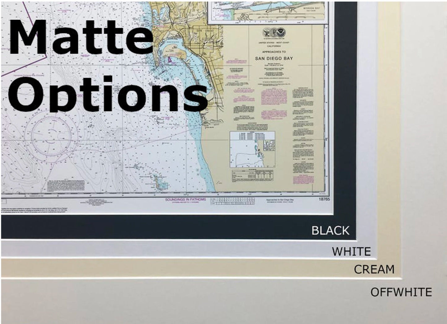
The nautical chart is elegantly displayed in a solid wood frame, complemented by a museum-quality print produced on archival paper with fade-resistant inks. It features a chic black mat and is protected by a glass front to ensure durability and longevity. The back is finished with a paper duster for a polished look, and a wire hanger is included for easy installation.
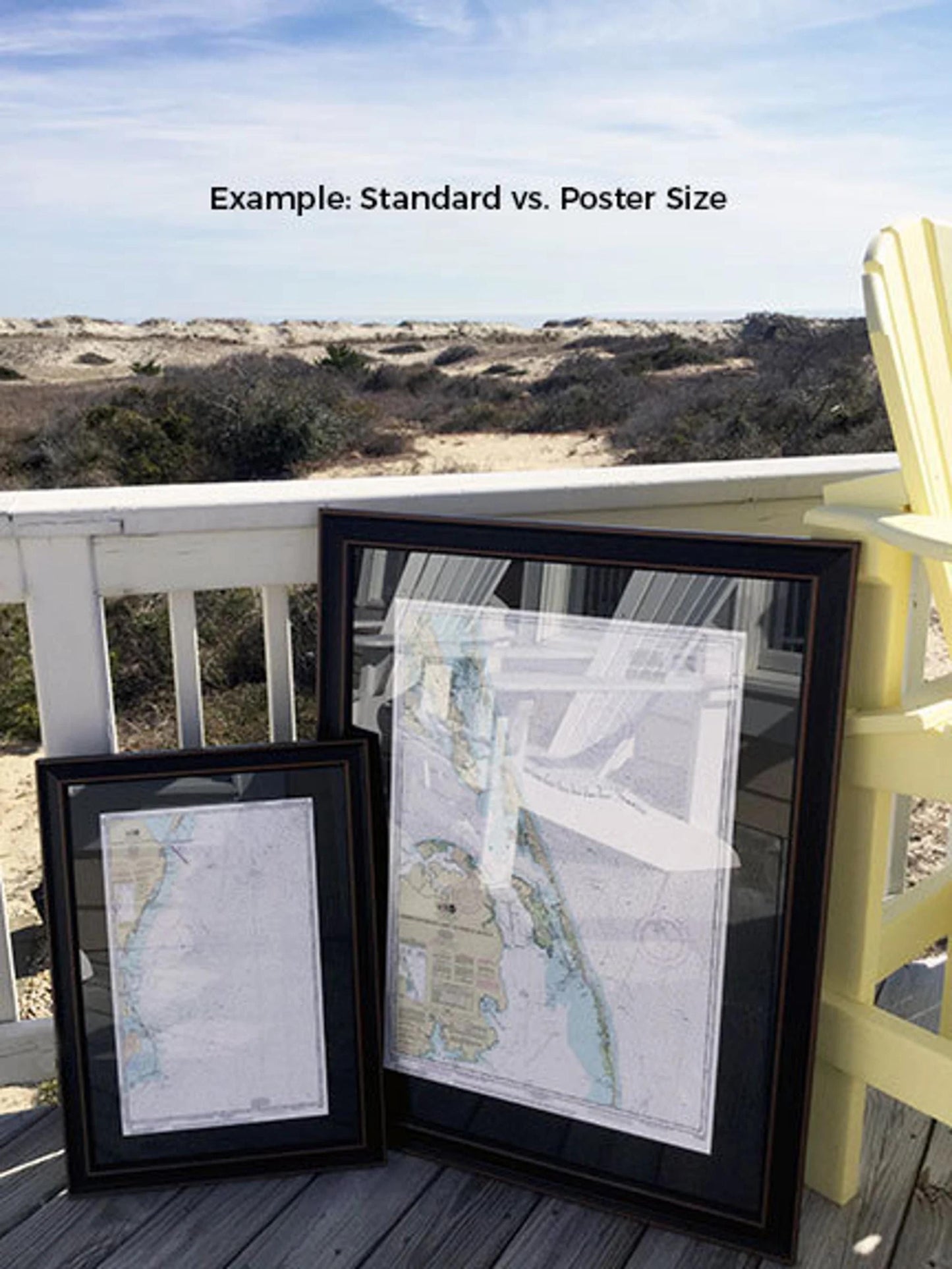
Available in two sizes:
- Standard size: Outer frame dimensions approximately 18" W x 24" H
- Poster size: Outer frame dimensions approximately 27" W x 36" H
If you have a specific frame style in mind, please reach out to us, and we would be happy to accommodate your request. We also welcome any sample photos you’d like to share to help us bring your vision to life.
*Important Shipping Note: Free ground shipping is available for orders within the 48 contiguous states. We strive to keep our shipping costs transparent and reasonable. Due to higher shipping fees to Alaska and Hawaii, please contact us for a custom shipping quote.
Share