Framed Nautical Charts
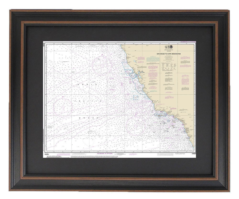
Framed Nautical Chart 18020 - San Diego to Cape Mendocino, NOAA 18020. Handmade in the USA.
Framed Nautical Chart 18020 - San Diego to Cape Mendocino, NOAA 18020. Handmade in the USA.
Couldn't load pickup availability
Discover the beauty of California's coastline with our exquisite Framed Nautical Chart, showcasing the stunning waterways from San Diego to Cape Mendocino. This official NOAA Nautical Chart is meticulously crafted to highlight the intricate details of the Pacific waters, making it a perfect addition to your home or office decor.
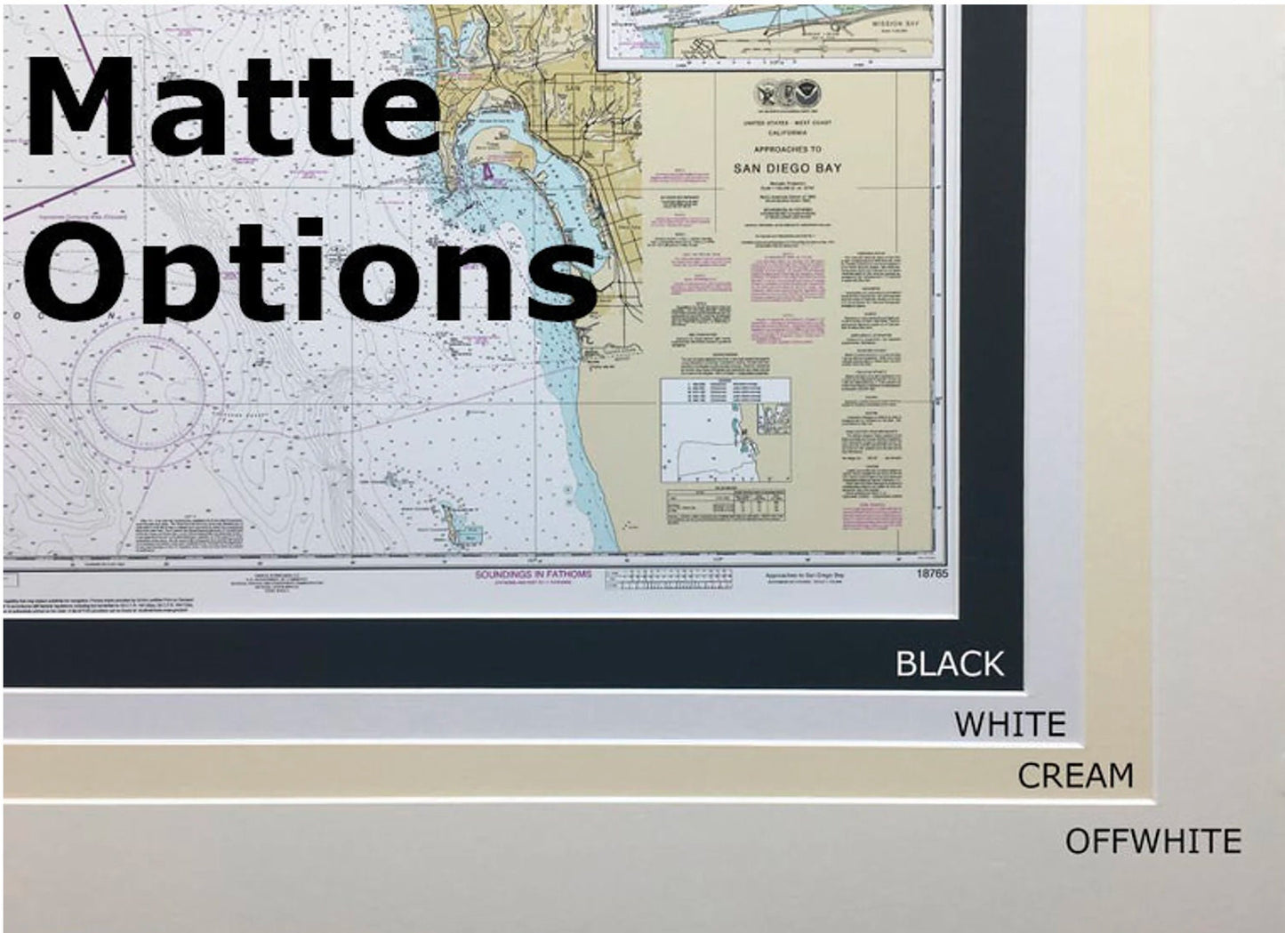
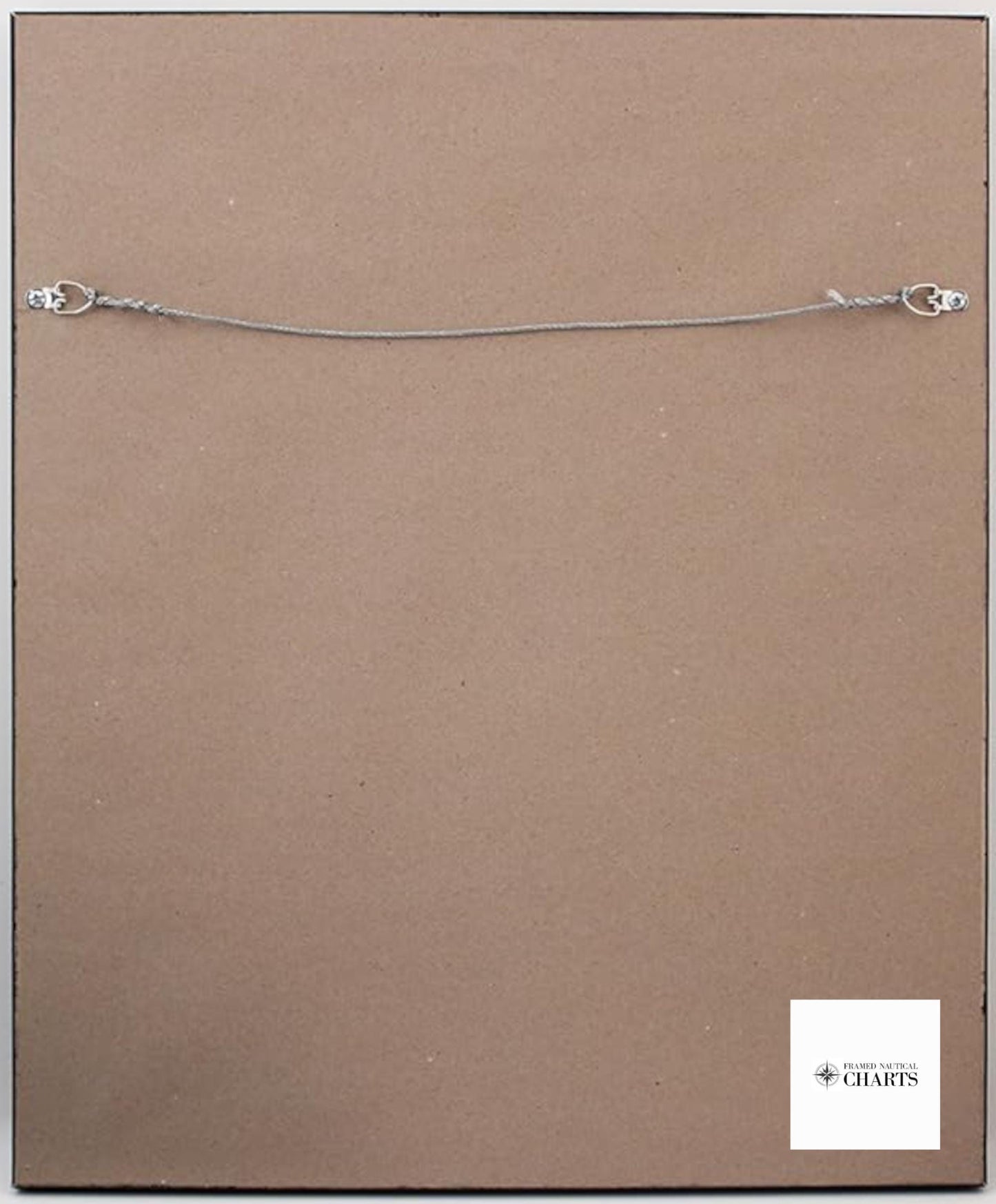
Each chart is custom handmade in the USA, exemplifying exceptional craftsmanship and attention to detail. The map is elegantly displayed in a solid wood frame and features a museum-quality print, printed on archival paper using premium inks that ensure longevity and vivid colors. To enhance its aesthetic appeal, the chart is framed with a classic black mat and protected by a glass front. The back is finished with a paper duster for a polished look, and a wire hanger is included for easy installation.
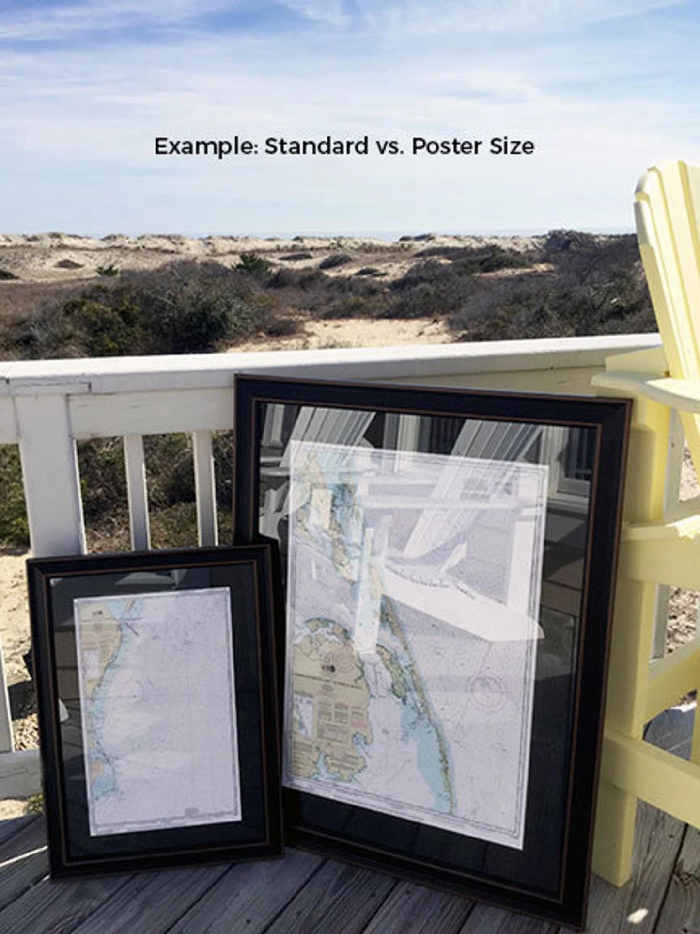
Our frames are available in two sizes to fit your space perfectly:
- Standard size: outer frame dimensions approximately 24" W x 18 3/4" H
- Poster size: outer frame dimensions approximately 36" W x 28 1/4" H
If you're interested in a different framing option, don't hesitate to reach out— we welcome your ideas and sample photos to help bring your vision to life.
*Important Shipping Note: Free ground shipping is available for orders shipped to the 48 contiguous states. We strive to keep our shipping costs reasonable, but due to the high expense associated with shipping to Alaska and Hawaii, please contact us for a custom shipping quote.
Share