Framed Nautical Charts
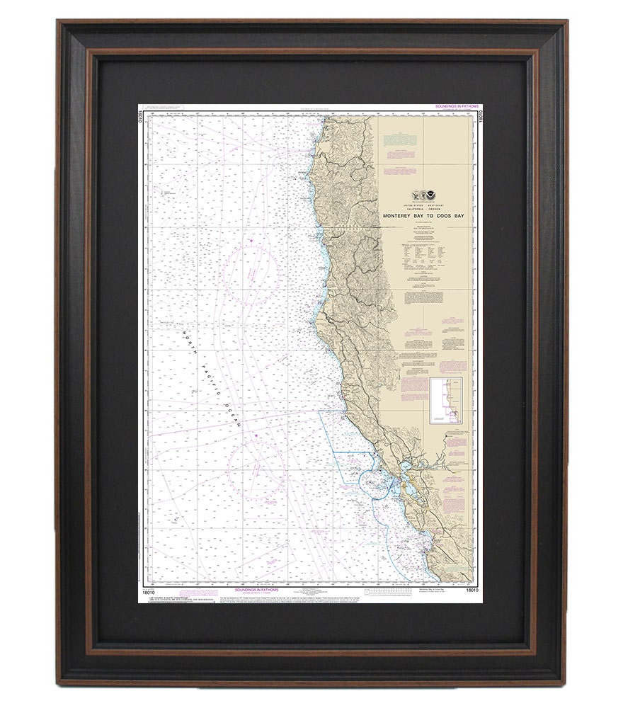
Framed Nautical Chart 18010 - Monterey Bay to Coos Bay. NOAA 18010. Handmade in the USA.
Framed Nautical Chart 18010 - Monterey Bay to Coos Bay. NOAA 18010. Handmade in the USA.
Couldn't load pickup availability
Discover the beauty of coastal navigation with our exquisite Framed Nautical Map, showcasing the stunning waterways from Monterey Bay to Coos Bay. This official NOAA Nautical Chart vividly details the mesmerizing coastline of California, making it a perfect addition to any maritime enthusiast's collection.
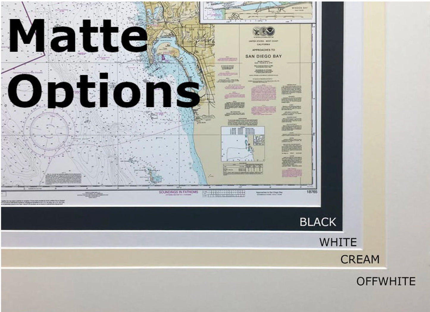
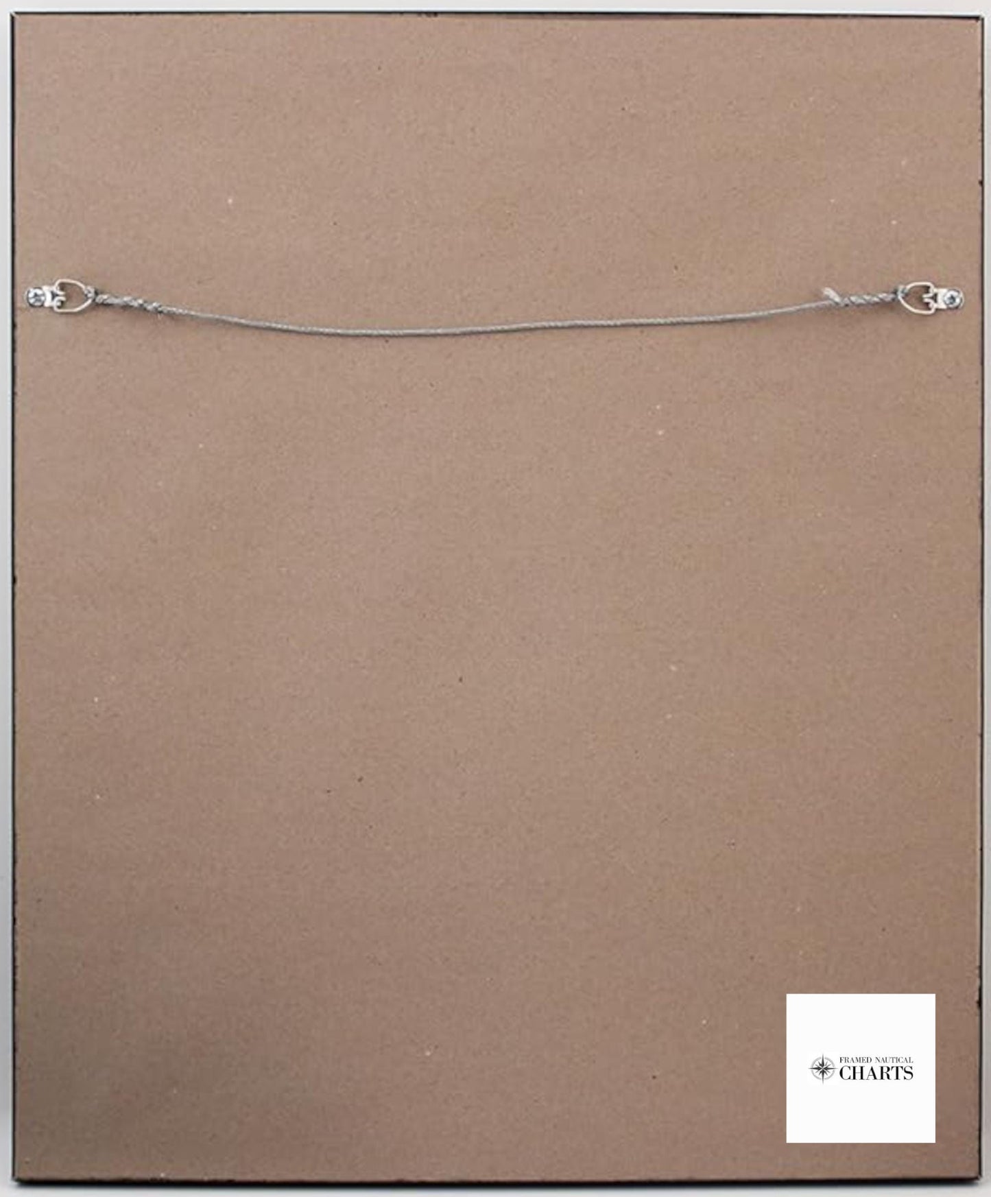
Each chart is meticulously handcrafted in the USA, showcasing exceptional craftsmanship and attention to detail. The chart is elegantly presented in a solid wood frame, complemented by a museum-quality print produced on archival paper with fade-resistant inks, ensuring longevity and vibrancy. A sleek black mat enhances the presentation, while the glass front protects the artwork from dust and damage. The back is finished with a paper duster for a polished look, and a wire hanger is included for effortless installation.
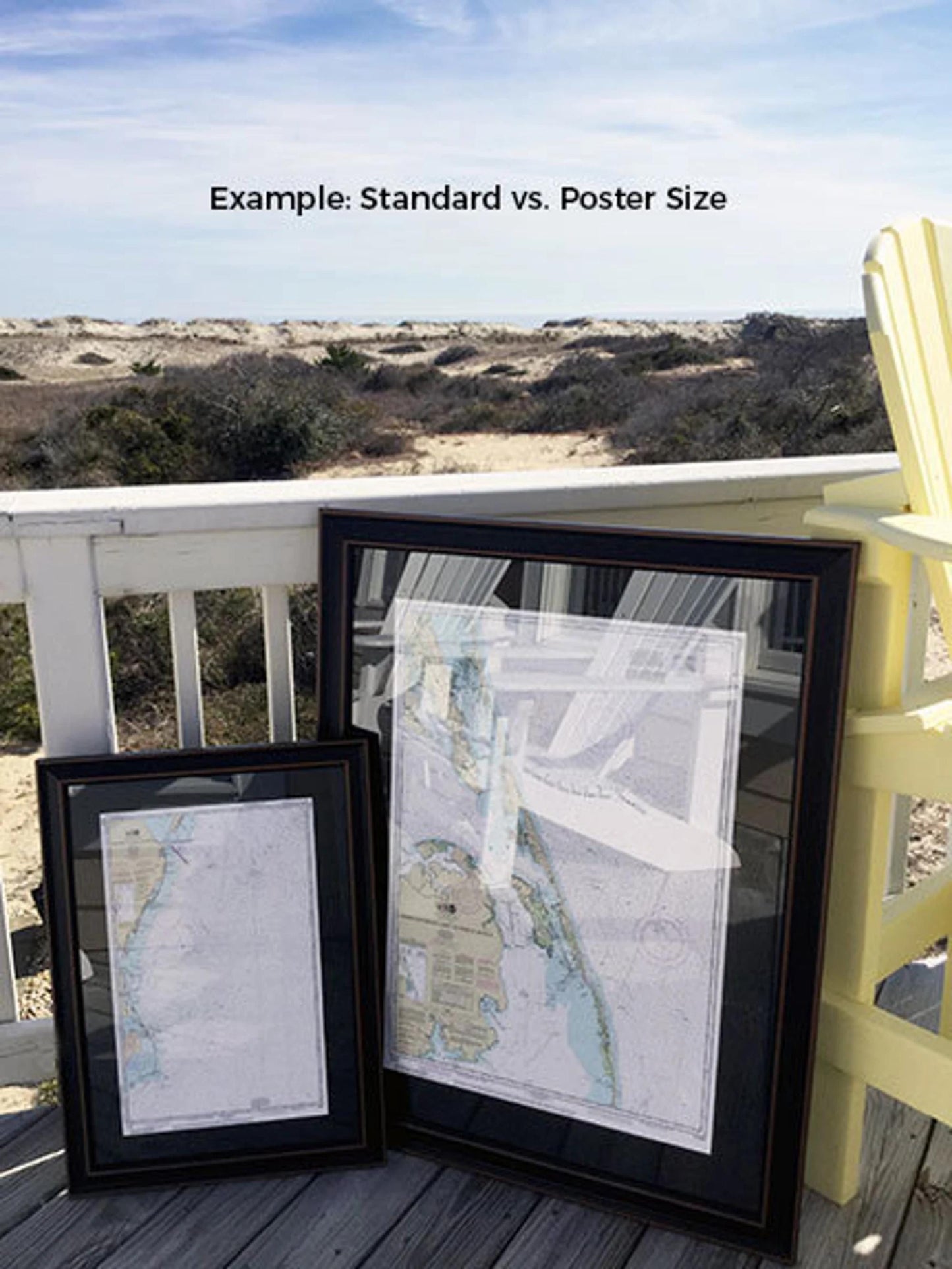
We offer two frame sizes to suit your preferences:
- Standard Size: Outer frame dimensions approximately 24" H x 17" W
- Poster Size: Outer frame dimensions approximately 36" H x 25 1/2" W
If you have a different frame option in mind, feel free to reach out to us with your request. We are happy to accommodate custom designs and welcome any sample photos to help us bring your vision to life.
*Important Shipping Note: Free ground shipping is available only to the 48 contiguous states. We do not markup shipping costs, but due to varying rates to Alaska and Hawaii, please contact us for a custom shipping quote.
Share