Framed Nautical Charts
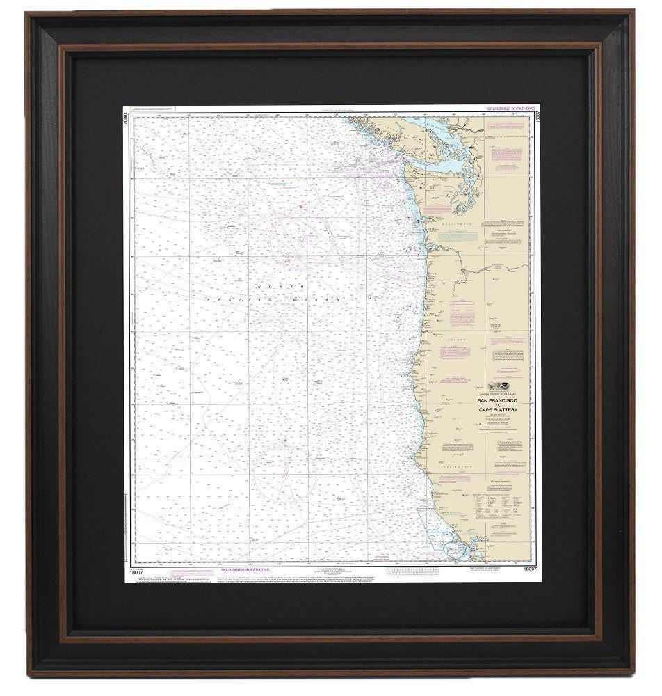
Framed Nautical Chart 18007 - San Francisco to Cape Flattery. NOAA 18007. Handmade in the USA.
Framed Nautical Chart 18007 - San Francisco to Cape Flattery. NOAA 18007. Handmade in the USA.
Couldn't load pickup availability
Discover the beauty of the California coastline with this exquisite Framed Nautical Chart, detailing the waterways from San Francisco to Cape Flattery. This official NOAA Nautical Chart is not just a navigational tool; it is a stunning piece of art handcrafted in the USA, showcasing exceptional craftsmanship.
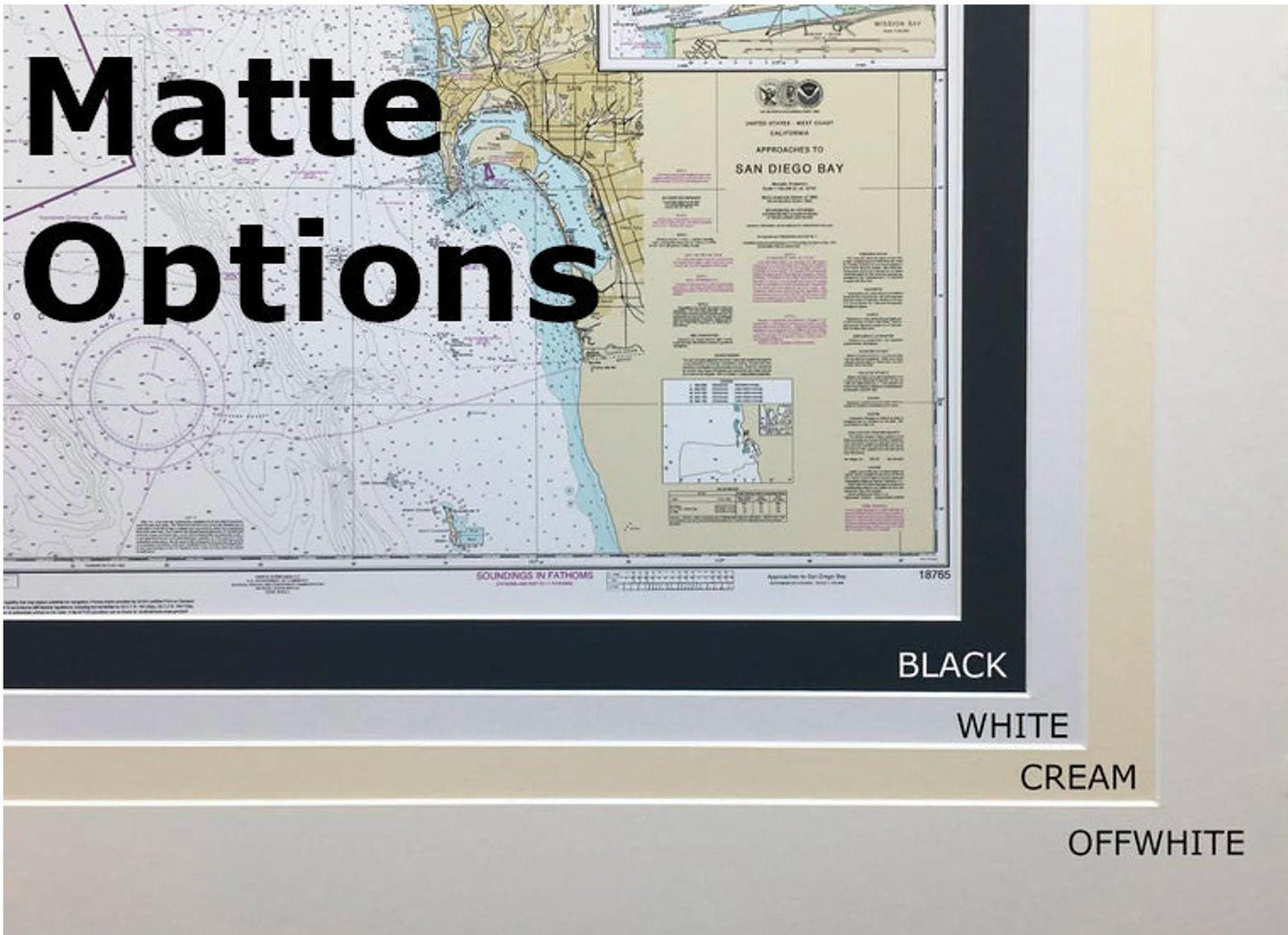
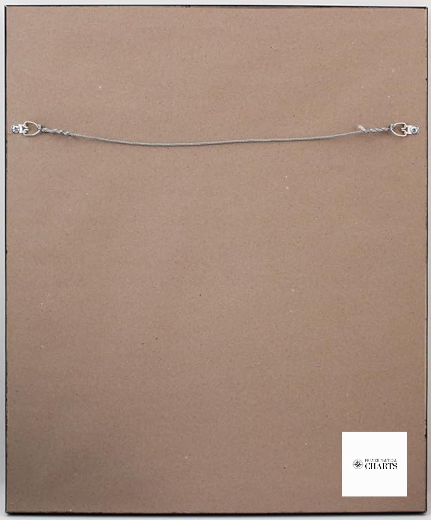
Each chart is meticulously crafted and presented in a solid wood frame, featuring a museum-quality print made from archival paper and inks, ensuring longevity and vibrancy. The chart is elegantly complemented by a black mat and protected by a glass front, providing a polished look for any space. The back is finished with a paper duster for a clean appearance, and a wire hanger is included for easy installation.
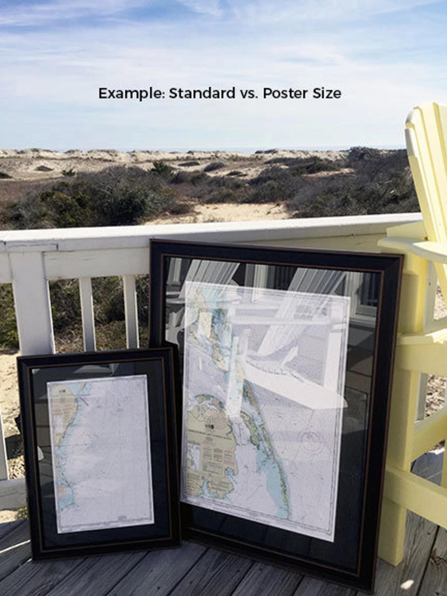
Available in two sizes to fit your needs:
- Standard size: approximately 24" H x 18 3/4" W
- Poster size: approximately 36" H x 28 1/4" W
If you're interested in a custom frame option, please don't hesitate to contact us with your request. We welcome any sample photos you may have to help us bring your vision to life.
*Important Shipping Note: We offer free ground shipping for deliveries within the 48 contiguous states. While we do not mark up shipping costs, please reach out for custom shipping quotes for Alaska and Hawaii due to the higher shipping fees.
Share